The best road cycling routes in James Baird State Park
5.0
(17)
579
riders
60
rides
Road cycling in James Baird State Park features routes through 590 acres of rolling, wooded terrain in Dutchess County, New York. The landscape is characterized by mixed hardwood forests of oak, maple, and hickory, offering varied elevation changes. While some routes incorporate generally level sections, others include hills, providing diverse experiences for road cyclists. Many routes in and around the park feature paved surfaces suitable for road biking.
Best road cycling routes in James Baird State Park
- The most popular road cycling route is Roadbike loop from Town of La Grange, an easy 25.2 miles (40.5 km) trail that takes 1 hour 57 minutes to complete. This route navigates through the park's characteristic rolling, wooded landscape.
- Another top favourite among local road cyclists is Roadbike loop from Freedom Plains, a moderate 33.3 miles (53.6 km) path. This route offers varied elevation changes through the region's mixed hardwood forests.
- Local road cyclists also love the Freedom Lake loop from Freedom Plains, a 26.3 miles (42.3 km) trail leading through wooded areas and past Freedom Lake, often completed in about 2 hours 26 minutes.
- Road cycling in James Baird State Park is defined by rolling hills, mixed hardwood forests, and varied elevation. The network offers options for different ability levels, from easy loops to more challenging moderate routes.
- The routes in James Baird State Park are highly rated by the komoot community with an average score of 5.0 stars from more than 20 reviews. More than 600 road cyclists have used komoot to explore James Baird State Park's varied terrain.
Last updated: July 12, 2026
5
riders
40.5km
01:57
290m
290m
Easy road ride. Great for any fitness level. Mostly well-paved surfaces and easy to ride.
4
riders
53.6km
02:33
480m
480m
Moderate road ride. Good fitness required. Mostly well-paved surfaces and easy to ride.

Sign up for free
5
riders
40.4km
02:05
320m
320m
Moderate road ride. Good fitness required. Mostly well-paved surfaces and easy to ride.
7
riders
48.4km
02:13
520m
520m
Moderate road ride. Good fitness required. Mostly well-paved surfaces and easy to ride.
5
riders
81.4km
04:02
950m
950m
Hard road ride. Very good fitness required. Mostly well-paved surfaces and easy to ride.
Get access to more routes and recommendations from other explorers.
Sign up for free
Already have an account?
Our route recommendations are based on thousands of hikes, rides, and runs completed by other people on komoot.
Start today with a free account
Your next adventure awaits.
Login or Signup
Popular around James Baird State Park

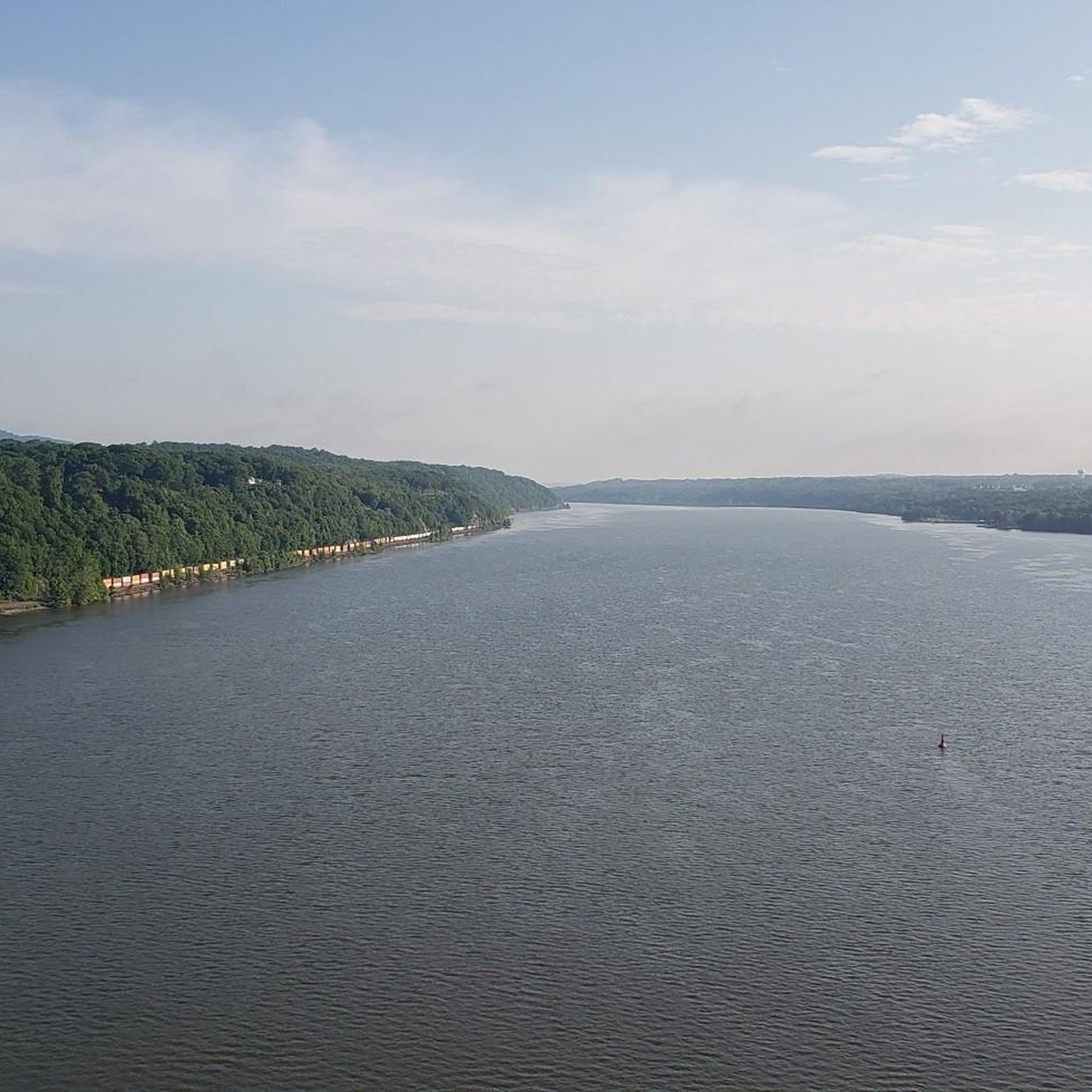
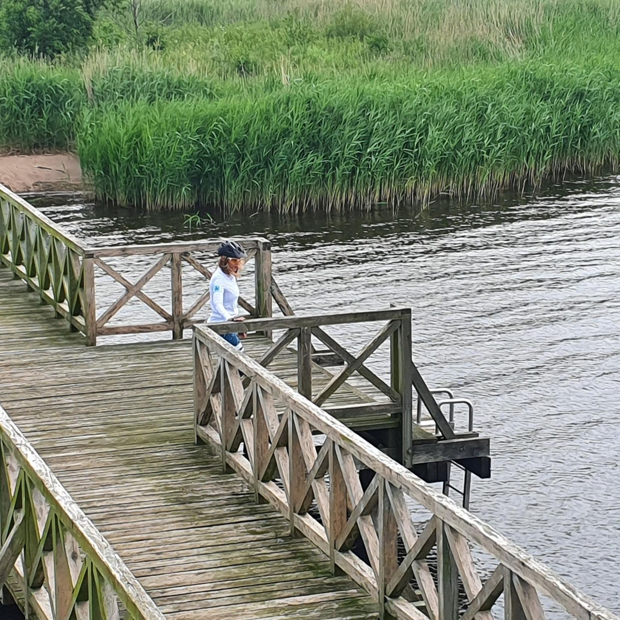
Tips from the Community


A picturesque road circles Hunns Lake with plenty of opportunities to take in the views as you pedal on by. At just under 4km for a circuit round the lake on quiet roads, it is perfect for young cyclists.
0
0
A picturesque road circles Hunns Lake with plenty of opportunities to take in the views as you pedal on by. At just under 4km for a circuit round the lake on quiet roads, it is perfect for young cyclists.
0
0

The Oliver Barrett House is on the National Register of Historic Places. It is an old farmhouse from the mid-1800s that has seen a lot of renovations over the years, but it still has its original rustic look.
0
0

Hopewell Junction is the location of the of the junction of the Newburgh, Dutchess and Connecticut railroad line with the New York and New England line. Now, it is the anchor of the Dutchess Rail Trail, a 13 mile long walking and cycling path.
2
0

This is the 1853 farmhouse extensively altered in the late Victorian era for Coleman Station postmaster
0
0
This is where the Dutchess Rail Trail and the Maybrook Rail Trails meet. There are bathrooms. Candy and soda machines are seasonlly available. Bike tools and air are available.
0
0
Frequently Asked Questions
What kind of terrain can I expect when road cycling in James Baird State Park?
Road cycling in James Baird State Park features a diverse landscape. You'll encounter rolling, wooded terrain with mixed hardwood forests of oak, maple, and hickory. Routes offer varied elevation changes, from generally level sections to some challenging hills. While the park's internal trails might include firm, unpaved surfaces, many routes in and around the park that are suitable for road cycling feature mostly paved surfaces.
How many road cycling routes are available in James Baird State Park?
There are over 60 road cycling routes available in and around James Baird State Park on komoot. These routes cater to various skill levels, including easy, moderate, and difficult options.
Are there family-friendly road cycling routes in James Baird State Park?
Yes, James Baird State Park offers several easy road cycling routes that are suitable for families. For example, the Roadbike loop from Town of La Grange is an easy 25.2-mile (40.5 km) trail that navigates through the park's characteristic rolling, wooded landscape, making it a good option for a family outing.
What are the difficulty levels of road cycling routes in the park?
The road cycling routes in James Baird State Park offer a range of difficulty levels. You can find 16 easy routes, 43 moderate routes, and 2 difficult routes, ensuring options for beginners to more experienced cyclists.
What do other road cyclists say about the routes in James Baird State Park?
The road cycling routes in James Baird State Park are highly rated by the komoot community, with an average score of 5.0 stars from more than 20 reviews. Cyclists often praise the varied terrain, from rolling hills to mixed hardwood forests, and the options available for different ability levels.
Are there any circular road cycling routes available?
Yes, many of the road cycling routes in James Baird State Park are designed as loops. Popular circular routes include the Roadbike loop from Freedom Plains, a moderate 33.3-mile path, and the Sprout Lake loop from MacDonnell Heights, which is a moderate 61.9-kilometer route.
What natural features or viewpoints can I expect to see while road cycling?
While road cycling in James Baird State Park, you'll primarily experience the beauty of its mixed hardwood forests, featuring oak, maple, hickory, eastern white pine, and hemlock. The varied elevation also provides scenic views of the rolling, wooded landscape. The Freedom Lake loop from Freedom Plains, for instance, leads through wooded areas and past Freedom Lake, offering pleasant natural vistas.
Is there parking available for road cyclists at James Baird State Park?
Yes, James Baird State Park is accessible from the Taconic State Parkway and offers various facilities, including picnic areas, which typically include parking. It is generally convenient for visitors arriving by car to access the park and its surrounding cycling routes.
What is the best time of year for road cycling in James Baird State Park?
The best time for road cycling in James Baird State Park is generally during the spring, summer, and fall months when the weather is mild and the foliage is vibrant. The park's mixed hardwood forests offer beautiful scenery, especially during autumn. While trails are suitable for winter activities like cross-country skiing, dedicated road cycling is best enjoyed outside of snowy conditions.
Are there any longer, more challenging road cycling routes for advanced riders?
Yes, for advanced riders seeking a greater challenge, there are more difficult routes available. An example is the Germond Hill – Hunns Lake loop from Billings, which is a difficult 81.3-kilometer route with significant elevation changes, providing a demanding experience for experienced road cyclists.
What other activities can I do at James Baird State Park besides road cycling?
Beyond road cycling, James Baird State Park offers a variety of activities. You can explore seven miles of hiking trails, play a round at the 18-hole golf course, or utilize the sports complex for pickleball, softball, volleyball, basketball, and tennis. The park also has picnic areas and a dedicated nature trail for exploration.
Most popular routes in James Baird State Park

Get inspired with the komoot mobile app


Explore more
Browse the best Road cycling routes in other regions.
