The best cycling routes in Clarence Fahnestock Memorial State Park
4.7
(10)
171
riders
25
rides
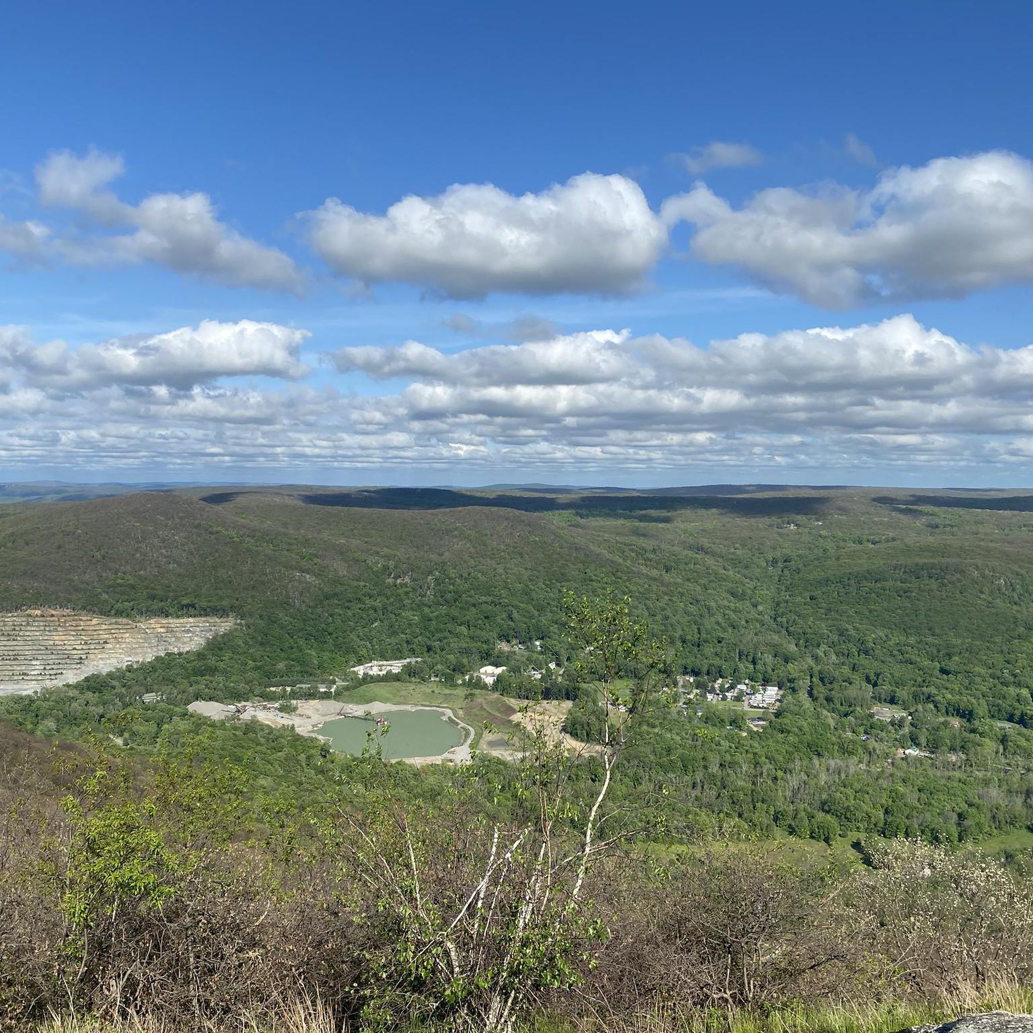
Touring cycling in Clarence Fahnestock Memorial State Park offers routes through a diverse natural landscape spanning 15,638 acres. The park is characterized by hills blanketed with trees, natural rock ridges, and several lakes, including Canopus Lake and Stillwater Lake. This varied topography provides a range of cycling experiences, from routes with paved surfaces to more challenging unpaved sections. The park's setting within the Northeastern coastal forests ecoregion ensures scenic vistas throughout the rides.
Best touring cycling routes in Clarence Fahnestock Memorial State Park
- The most popular touring cycling route is Indian Brook Road - gravel loop from Nelson Corners, an 8.2 miles (13.2 km) trail that takes 1 hour 10 minutes to complete. This moderate route features gravel surfaces through the park's natural setting.
- Another top favourite among local touring cyclists is Indian Brook Road - gravel – Sunken Mine Road loop from Cold Spring, a difficult 24.3 miles (39.1 km) path. This route combines gravel sections and varied terrain, offering a challenging ride from Cold Spring.
- Local touring cyclists also love the Sunken Mine Road loop from Cold Spring, a 40.2 miles (64.7 km) trail leading through varied landscapes, often completed in about 5 hours.
- Touring cycling in Clarence Fahnestock Memorial State Park is defined by hills blanketed with trees, natural rock ridges, and scenic lakes. The network offers options for different ability levels, from moderate gravel loops to difficult, longer routes.
- The routes in Clarence Fahnestock Memorial State Park are highly rated by the komoot community with an average score of 4.75 stars from 4 reviews. More than 50 touring cyclists have used komoot to explore Clarence Fahnestock Memorial State Park's varied terrain.
Last updated: September 5, 2026
2
riders
13.2km
01:10
290m
280m
Moderate bike ride. Good fitness required. Mostly paved surfaces. Suitable for all skill levels.
4
riders
19.1km
01:39
400m
400m
Moderate bike ride. Good fitness required. Mostly paved surfaces. Suitable for all skill levels.

Sign up for free
3
riders
60.4km
04:24
1,080m
1,080m
Hard bike ride. Very good fitness required. Mostly paved surfaces. Suitable for all skill levels.
10
riders
39.1km
03:14
780m
780m
Hard bike ride. Very good fitness required. Mostly paved surfaces. Suitable for all skill levels.
9
riders
82.3km
05:27
1,130m
1,130m
Hard bike ride. Very good fitness required. Mostly paved surfaces. Suitable for all skill levels.
Get access to more routes and recommendations from other explorers.
Sign up for free
Already have an account?
Our route recommendations are based on thousands of hikes, rides, and runs completed by other people on komoot.
Start today with a free account
Your next adventure awaits.
Login or Signup
Popular around Clarence Fahnestock Memorial State Park
Tips from the Community

Bear Mountain, located in the Hudson Highlands of southeastern New York, is one of the most notable landmarks on the Appalachian Trail in the state. The AT crosses directly over the summit, which stands at 1,305 feet, which is not especially high, but it is a historically and symbolically significant summit; it’s home to the oldest continuously maintained section of the Appalachian Trail, built in 1923, and features wide stone steps and paved walkways constructed by trail crews and the Civilian Conservation Corps. For many hikers, Bear Mountain is also the site of the lowest elevation point on the AT, near the Hudson River just before the climb. From the top, you get sweeping views of the Hudson Valley, and the surrounding Bear Mountain State Park includes a lake, picnic areas, the Trailside Museum and Zoo (which the AT technically passes through), and access to nearby Perkins Memorial Tower. It’s a popular day hike, so don’t be surprised to share the trail with weekend crowds, especially in fall.
2
0

Bear Mountain peaks at just under 1,300 feet in elevation over a 4.5-mile stretch of picturesque paved road. Although it may seem small in comparison to some of the world’s renowned climbs, it makes up for this with stunning views of the Hudson Highlands.
1
0

The road makes a loop around the summit of Bear Mountain with the Perkins Memorial Tower at its center. From the top you get sweeping views south across the Hudson, Harriman State Park, and the route taken by the Appalachian Trail.
0
0
Highland Falls, situated in Orange County, New York, is a quaint village neighboring the renowned United States Military Academy at West Point. With a population of around 3,900, the village boasts a rich history intertwined with the academy's legacy. Its scenic location along the Hudson River and proximity to the Hudson Highlands State Park offer residents and visitors ample opportunities for outdoor recreation. With plenty of local shops, restaurants, and annual events, Highland Falls is a great spot for residents and visitors alike to relax after a long ride or hike.
0
0

Highland Falls, once Buttermilk Falls, transformed into a village in Orange County. Officially incorporated in 1906, it boasts a population of 3,684 as of 2020. Recognized for its suburban allure, the town is esteemed as one of the best places to live in New York, featuring numerous bars, restaurants, and coffee shops.
0
0

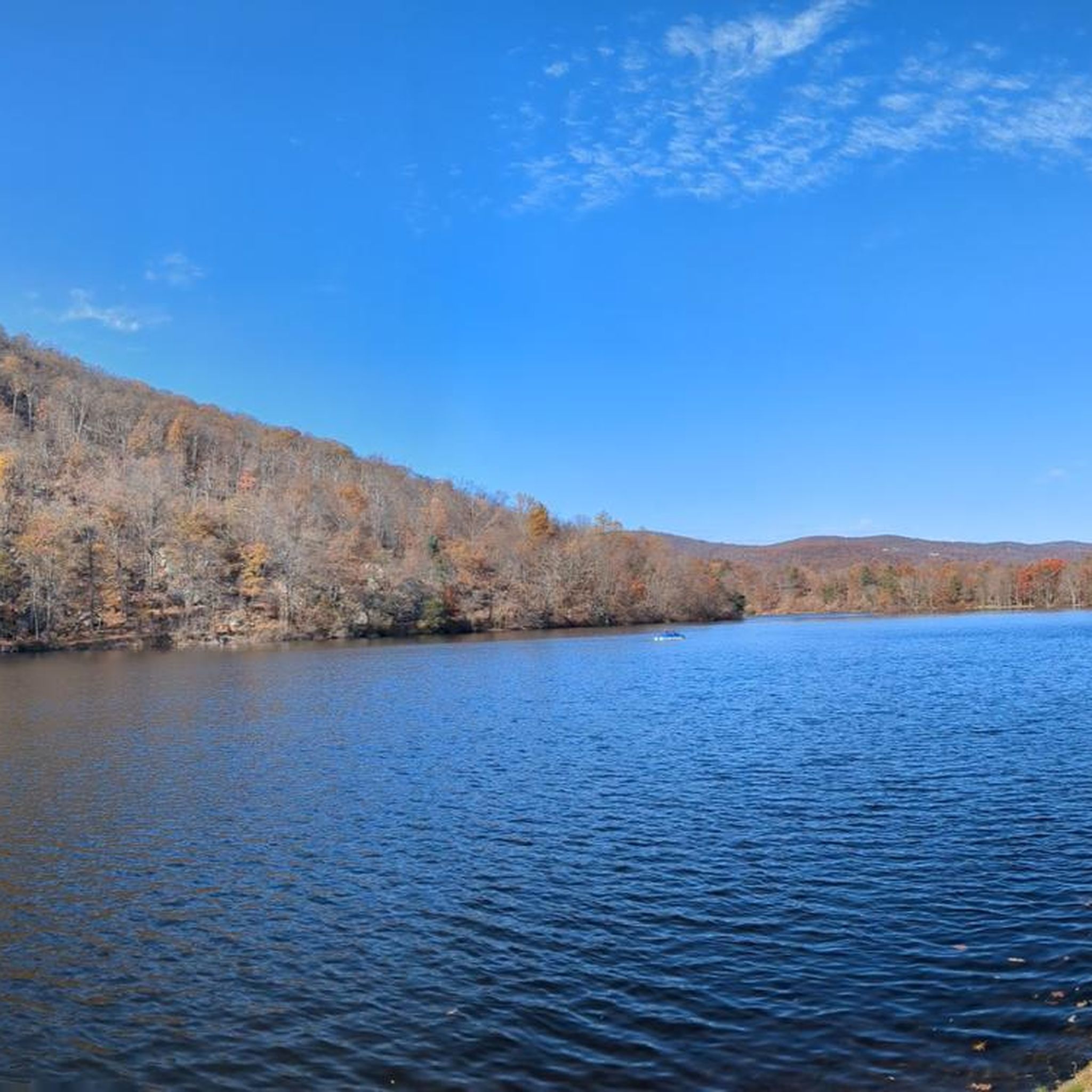
Nice small waterfall from Canopus Lake. You can see the falls from the trail that runs off the Appalachian trail.
0
0

Popular hiking destination not far from New York City with great views
1
0
The unobstructed 360 views are worth the extra 70 feet up the tower when it's open
0
0
Frequently Asked Questions
How many touring cycling routes are available in Clarence Fahnestock Memorial State Park?
There are 21 touring cycling routes documented in Clarence Fahnestock Memorial State Park on komoot, offering a variety of experiences for different skill levels. These include 2 easy, 8 moderate, and 11 difficult routes.
Are there touring cycling routes suitable for beginners or families in Clarence Fahnestock Memorial State Park?
Yes, the park offers some easier routes. There are 2 easy touring cycling routes available on komoot. While specific family-friendly routes aren't detailed, the park's varied terrain includes options suitable for less experienced riders, often with less elevation gain. These routes typically feature mostly paved surfaces and can be completed in under two hours.
What kind of terrain can I expect on touring cycling routes in Clarence Fahnestock Memorial State Park?
The park's terrain is diverse, characterized by hills blanketed with trees and natural rock ridges. You can expect a mix of surfaces, with some routes offering mostly paved sections suitable for road cycling, while others incorporate gravel or unpaved segments, particularly on more challenging mountain biking trails. The routes often feature varied topography with significant elevation changes.
What are some of the more challenging touring cycling routes in the park?
For experienced touring cyclists seeking a challenge, the park offers several difficult routes. One such option is the Indian Brook Road - gravel – Gravel stretch loop from Cold Spring, which spans 88.7 km and involves over 1,400 meters of elevation gain. Another demanding route is the Sunken Mine Road loop from Cold Spring, covering 64.7 km with over 1,200 meters of ascent.
Are there any circular touring cycling routes in Clarence Fahnestock Memorial State Park?
Yes, many of the touring cycling routes in the park are designed as loops, allowing you to start and finish at the same point. Examples include the popular Indian Brook Road - gravel loop from Nelson Corners, a moderate 13.2 km route, and the more challenging Indian Brook Road - gravel – Sunken Mine Road loop from Cold Spring, which is 39.1 km long.
What natural features or landmarks can I see along the touring cycling routes?
The park is rich in natural beauty. Cycling routes often pass by prominent peaks like Moose Hill and Candlewood Hill, offering scenic vistas. You'll also encounter several lakes, including Canopus Lake with its sandy beach, and Stillwater Lake. The park is nestled within the Northeastern coastal forests ecoregion, providing a lush, tree-covered landscape throughout your ride.
What is the best time of year for touring cycling in Clarence Fahnestock Memorial State Park?
The park is enjoyable for cycling across multiple seasons. Spring and autumn are particularly popular due to milder temperatures and vibrant foliage. Autumn offers stunning displays of color across the forested hills. While summer is also an option, be prepared for warmer weather. During winter, a portion of the park transforms into a winter park, with groomed trails for cross-country skiing, so cycling access may be limited on certain paths.
Is public transport available to reach Clarence Fahnestock Memorial State Park for cycling?
While the guide does not specify direct public transport routes into the park itself, many touring cycling routes, such as those starting from Cold Spring, are accessible from nearby towns. Cold Spring is known to have public transport connections, which could serve as a starting point for rides into the park.
Are there places to eat or stay near Clarence Fahnestock Memorial State Park?
The park itself offers picnic areas, but for cafes, restaurants, or accommodation, you would typically need to look in nearby towns. Cold Spring, a common starting point for many routes, is a good option for finding dining establishments and places to stay after your ride.
What do other touring cyclists enjoy most about touring cycling in Clarence Fahnestock Memorial State Park?
The area is highly rated by the komoot community, with an average score of 4.75 stars from 4 reviews. Touring cyclists often praise the diverse natural landscape, the challenging yet rewarding terrain, and the scenic vistas offered by the tree-blanketed hills and natural rock ridges. The variety of routes, from moderate gravel loops to difficult, longer rides, is also frequently appreciated.
Can I spot wildlife while cycling in Clarence Fahnestock Memorial State Park?
Yes, the park's extensive natural environment, part of the Northeastern coastal forests ecoregion, provides ample opportunities for wildlife spotting. Keep an eye out for various bird species, deer, and other local fauna as you cycle through the secluded wooded areas and along the lake shores.
Most popular routes in Clarence Fahnestock Memorial State Park

Get inspired with the komoot mobile app


Explore more
Browse the best Cycling routes in other regions.
