Trout Brook Valley State Park Reserve
Trout Brook Valley State Park Reserve
The best walks and hikes in Trout Brook Valley State Park Reserve
4.8
(21)
283
hikers
12
hikes
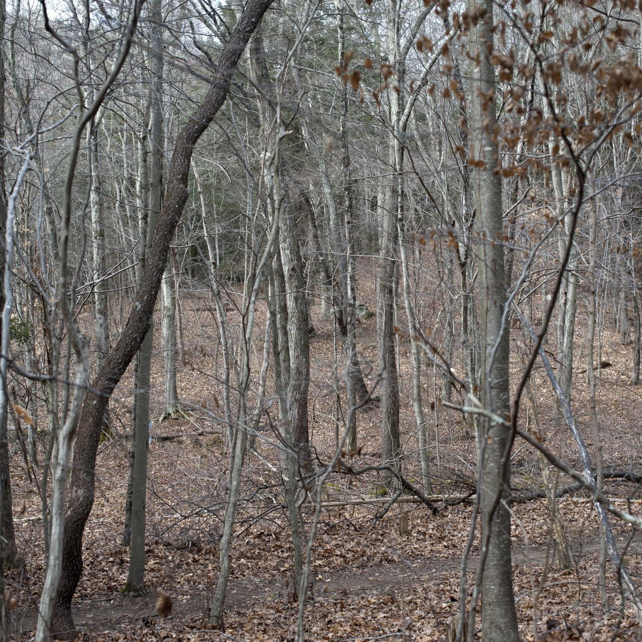
Hiking in Trout Brook Valley State Park Reserve offers diverse landscapes across its 1,009-acre conservation area. The terrain features rugged hills, serene valleys, wetlands, and watercourses, all within a mixed deciduous and coniferous forest. Trails provide views of the Saugatuck Reservoir and traverse areas with blueberry and apple orchards. The preserve includes varied routes, from tight singletrack with technical sections to peaceful forest paths.
Best hiking trails in Trout Brook Valley State Park Reserve
- The most popular hiking route is Saugatuck Reservoir Loop – Trout Brook Valley State Park Preserve, a 16.8 miles (27.0 km) trail that takes 7 hours 15 minutes to complete. This challenging route offers extensive views of the Saugatuck Reservoir.
- Another top favourite among local hikers is Flirt Hill loop from Aspetuck Reservoir, a moderate 4.8 miles (7.7 km) path. This trail winds through varied forest terrain, providing a balanced hiking experience.
- Local hikers also love the Trail at Popp Mountain loop from Trout Brook Valley State Park Reserve, a 4.9 miles (7.9 km) trail leading through forested hills, often completed in about 2 hours 12 minutes.
- Hiking in Trout Brook Valley State Park Reserve is defined by rugged hills, serene valleys, and mixed forests, with views of the Saugatuck Reservoir. The network offers options for easy, moderate, and difficult routes, catering to various ability levels.
- The routes in Trout Brook Valley State Park Reserve are highly rated by the komoot community with an average score of 4.9 stars from over 10 reviews. More than 160 hikers have used komoot to explore Trout Brook Valley State Park Reserve's varied terrain.
Last updated: August 31, 2026
6
hikers
4.54km
01:16
90m
90m
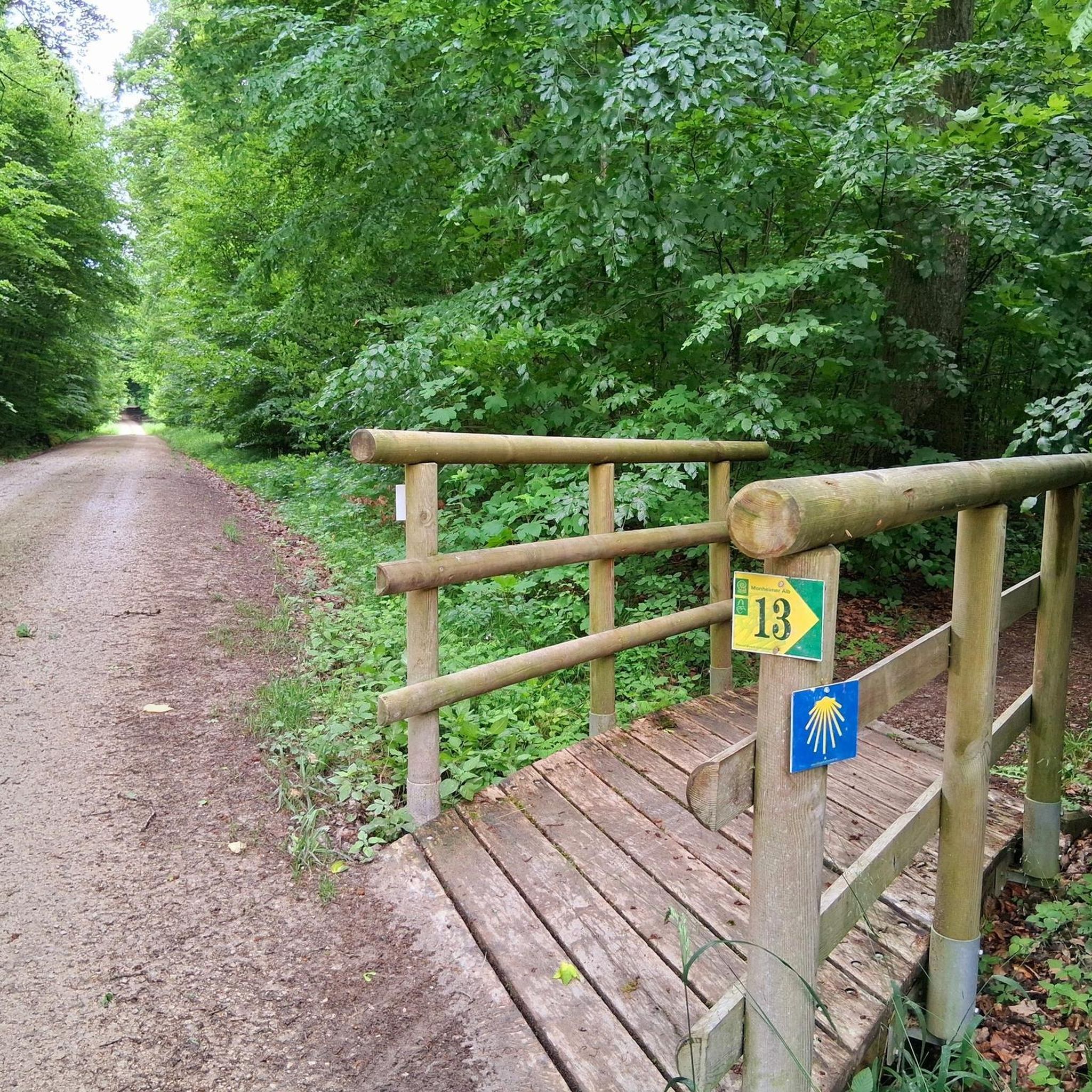
The Blue to Green/Blue Loop offers a delightful journey through varied forest landscapes, transitioning from smoother green-graded paths to more rugged blue-graded sections. You'll encounter attractive woodlands, potentially passing by water features and rock outcroppings, with the Wooden Bridge in Trout Brook Valley State Park Reserve serving as a charming landmark. The trail provides a refreshing escape into nature, perfect for unwinding.
This easy hiking loop covers 2.8 miles (4.5 km) with a gentle 295 feet (90 metres) of elevation gain, typically completed in about 1 hour and 16 minutes. While generally accessible, some sections may feature uneven terrain with roots and rocks, so sturdy footwear is recommended. Always check local trail conditions before heading out, especially after rain, as parts of the trail can become wet or muddy.
This type of trail system, using color-coded difficulty, is common in many regions, offering a clear guide for hikers. The combination of green and blue sections on this loop provides a balanced experience, suitable for families and those looking for a moderate challenge without extreme difficulty. It's a great way to explore the natural beauty of Western Connecticut Planning Region.
1
hikers
9.30km
02:34
170m
150m
The Red Trail to Red/White Trail Loop offers a robust hiking experience within the Trout Brook Valley State Park Reserve. You'll navigate through dense forest, with the Red/White section standing out as one of the preserve's rockiest trails, demanding careful footing. Your efforts are rewarded with scenic views overlooking The Connecticut Golf Club and Black Rock Turnpike, providing a blend of woodland immersion and open vistas.
This moderate 5.8-mile (9.3 km) loop, with 561 feet (171 metres) of elevation gain, typically takes about 2 hours and 34 minutes to hike. Be sure to wear appropriate footwear for the challenging terrain. Checking trail conditions before you go is always a good idea, especially after rain, to ensure a safe and enjoyable outing.
This trail is a great choice if you're looking for a solid workout and a chance to explore the varied natural beauty of a Connecticut state park reserve. The preserve setting means you're immersed in nature, away from urban distractions, making it a notable option for those seeking a true escape into the outdoors.

Sign up for free
1
hikers
7.42km
02:07
170m
170m
Hike the moderate 4.6-mile Ordway Trail in Trout Brook Valley State Park Reserve, featuring a scenic wooden bridge and Popp Mountain views.
2
hikers
27.0km
07:15
330m
330m
Hike the Saugatuck Reservoir Loop, a difficult 16.8-mile route through Centennial Watershed State Forest with reservoir views.
8
hikers
Easy hike. Great for any fitness level. Easily-accessible paths. Suitable for all skill levels.
Get access to more routes and recommendations from other explorers.
Sign up for free
Already have an account?
Our route recommendations are based on thousands of hikes, rides, and runs completed by other people on komoot.
Start today with a free account
Your next adventure awaits.
Login or Signup


Tips from the Community

Nestled in Easton, the 730-acre Trout Brook Valley State Park Reserve offers over 20 miles of secluded wooded and wetland trails perfect for mountain biking escapades. Thanks to Aspetuck Land Trust and activists like Paul Newman, this natural haven was spared from developers in 1999
0
0

The Trout Brook Valley State Park Reserve is one of the most cherished outdoor spaces in the Easton area. The park features over 20 miles of wooded and wetland trails that are great for trail running. Some trails are more trafficked than others, but with so many different trails, you usually see more nature than you do other trail users.
0
0

Through beautiful forest you will walk up to Popp Mountain, which offers a great view of Saugatuck Reservoir.
1
0
The Saugatuck is the largest of the eight reservoirs that make up the Greater Bridgeport water system. The Saugatuck Trail takes you along the west side of the lake.
1
0
Frequently Asked Questions
How many hiking trails are available in Trout Brook Valley State Park Reserve?
Trout Brook Valley State Park Reserve offers a comprehensive network of trails. There are over 25 hiking routes available, catering to various skill levels. You'll find 17 easy routes, 10 moderate routes, and 1 challenging route, ensuring options for every hiker.
What is the terrain like for hiking in Trout Brook Valley State Park Reserve?
The terrain in Trout Brook Valley is quite diverse, featuring rugged hills, serene valleys, wetlands, and watercourses, all within a mixed deciduous and coniferous forest. Hikers can expect trails described as 'tight twisty singletrack' with technical sections, including rocks and steep climbs. The area also boasts picturesque views of the Saugatuck Reservoir and unique features like blueberry and apple orchards.
Are there any easy or beginner-friendly hiking trails?
Yes, Trout Brook Valley State Park Reserve has several easy trails perfect for beginners or those seeking a more relaxed walk. The trail system includes designated beginner routes, such as the Blue, Green, and White trails. An example of an easy route is the Flirt Hill loop from Easton, which is just under 6 km long.
Are dogs allowed on the trails in Trout Brook Valley State Park Reserve?
The policy regarding dogs varies within the larger conservation area. As of May 2020, the State Park Reserve portion generally has a 'no dogs' policy. However, other parts of the preserve managed by the Aspetuck Land Trust may offer designated off-leash areas. It's advisable to check specific signage or local regulations for the exact section you plan to visit.
What are some notable natural features or viewpoints along the trails?
Hikers can enjoy several scenic spots. The preserve borders the Saugatuck Reservoir, offering picturesque views, notably from a lookout point on the orange trail. You'll also find peaceful forest trails, quiet streams, and the unique addition of blueberry and apple orchards. The diverse habitat supports a variety of wildlife, making it a great spot for nature observation.
Are there any challenging hikes in the area?
Yes, for experienced hikers, there are challenging routes available. The terrain includes technical sections with rocks and steep climbs. One notable ascent is the 'grueling 800' climb from the White Trail to the Yellow White Trail,' which is one of Fairfield County's largest ascents. The Saugatuck Reservoir Loop – Trout Brook Valley State Park Preserve is classified as a difficult route, covering 27 km.
What is the best time of year to hike in Trout Brook Valley State Park Reserve?
Trout Brook Valley offers enjoyable hiking throughout much of the year. Spring and fall are particularly pleasant due to milder temperatures and vibrant foliage. During warmer months, it's recommended to carry ample water and bug spray. Some seasonal closures for activities like mountain biking may occur, so it's always good to check local advisories.
Is parking available at Trout Brook Valley State Park Reserve?
Yes, access points and parking are available for visitors. Bradley Road is often cited as a primary entrance for accessing the trail system. Parking areas are typically well-marked to facilitate visitor access to the preserve.
Are the trails well-marked for navigation?
The trail system in Trout Brook Valley is consistently praised for being well-marked. You'll find clear signage at major intersections and numbered markers, which greatly enhances the hiking experience and aids in navigation, even on the more complex routes.
What do other hikers enjoy most about Trout Brook Valley State Park Reserve?
The area is highly rated by the komoot community, with an average score of 4.9 stars from over 12 reviews. Reviewers often praise the diverse landscapes, from rugged hills to serene valleys, and the well-maintained, clearly marked trails. The scenic views of the Saugatuck Reservoir and the peaceful forest environment are also frequently highlighted as favorite aspects.
Are there any circular hiking routes in Trout Brook Valley State Park Reserve?
Yes, the preserve offers several excellent circular routes. For example, the Trail at Popp Mountain loop from Trout Brook Valley State Park Reserve is a popular 7.9 km loop that takes you through forested hills. Another option is the Flirt Hill loop from Aspetuck Reservoir, a moderate 7.7 km path winding through varied forest terrain.
What kind of wildlife can be seen in Trout Brook Valley State Park Reserve?
Trout Brook Valley's diverse habitat, encompassing forests, wetlands, and watercourses, supports a variety of wildlife. Hikers often have opportunities for wildlife observation, including various bird species, deer, and other small mammals native to the mixed deciduous and coniferous forest environment.
Most popular routes in Trout Brook Valley State Park Reserve

Get inspired with the komoot mobile app


Explore more
Browse the best Hikes in other regions.
