River Highlands State Park
River Highlands State Park
The best cycling routes in River Highlands State Park
4.7
(4)
23
riders
10
rides
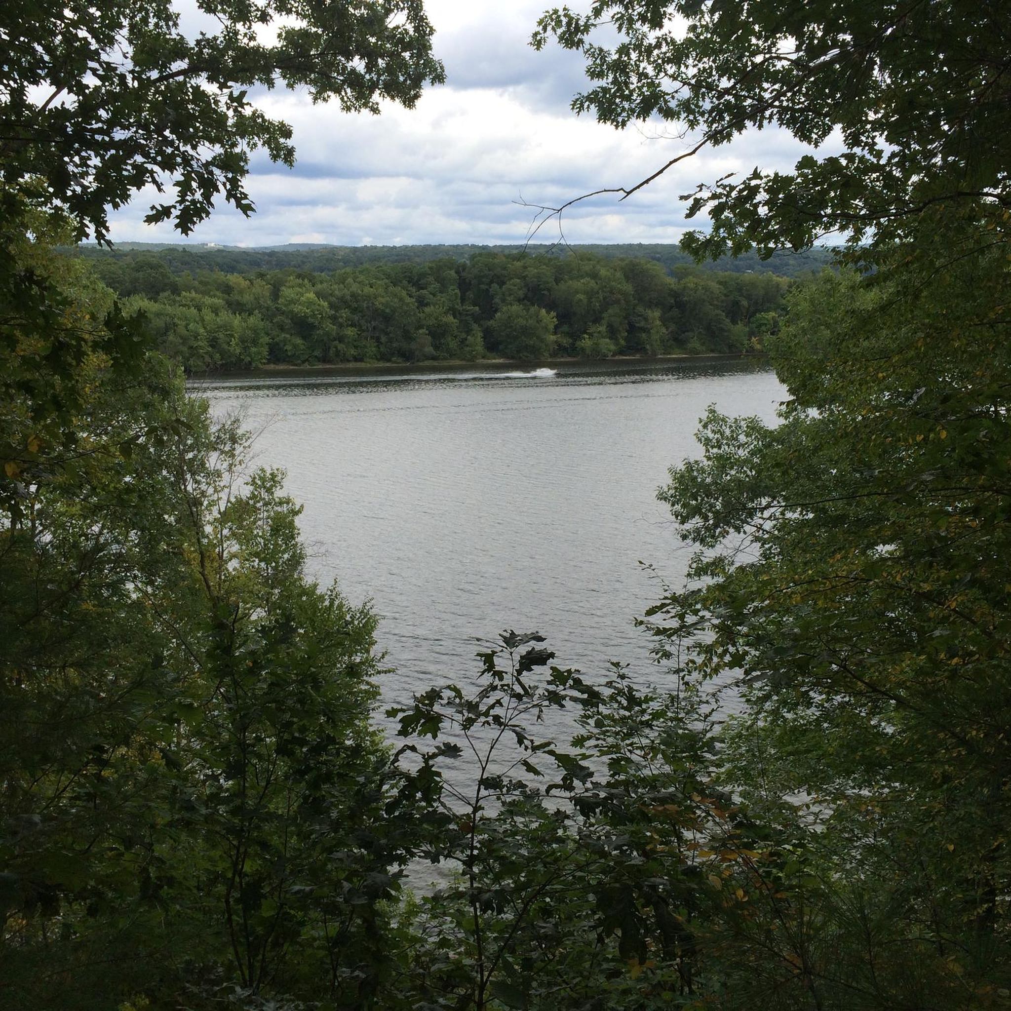
Touring cycling in River Highlands State Park offers routes in the vicinity of 177 acres of ecologically significant Connecticut River frontage. The park features majestic bluffs, rising up to 150 feet above the river, and a hilly terrain covered by mixed woodlands. While internal park trails are predominantly unpaved and suited for mountain biking, the surrounding area provides suitable paved routes for touring cyclists. Wetland systems also contribute to the tranquil eastern forest ambiance of the region.
Best touring cycling routes in River Highlands State Park
- The most popular touring cycling route is Hang-Dog Hill loop from Dinosaur State Park, a 17.7 miles (28.5 km) trail that takes 1 hour 46 minutes to complete. This moderate route offers varied terrain through the local landscape.
- Another top favourite among local touring cyclists is Harriss Hill – Naubuc Avenue Sidewalk loop from Rocky Hill, an easy 14.4 miles (23.2 km) path. This route features mostly paved surfaces, making it accessible for various skill levels.
- Local touring cyclists also love the Wolcott Hill – Heritage Way Bikepath loop from Old Tannery Lane Open Space, a 21.6 miles (34.7 km) trail leading through dedicated bikepath sections, often completed in about 2 hours 18 minutes.
- Touring cycling in River Highlands State Park is defined by Connecticut River frontage, scenic bluffs, and mixed woodlands, with accessible paved routes in the surrounding areas. The network offers options for different ability levels, from easy loops to moderate rides.
- The routes in River Highlands State Park are highly rated by the komoot community with an average score of 4.7 stars from over 3 reviews. More than 17 touring cyclists have used komoot to explore River Highlands State Park's varied terrain.
Last updated: July 2, 2026
5.0
(1)
2
riders
28.5km
01:46
270m
270m
Moderate bike ride. Good fitness required. Mostly paved surfaces. Suitable for all skill levels.
5.0
(2)
3
riders
23.2km
01:24
140m
140m
Easy bike ride. Great for any fitness level. Mostly paved surfaces. Suitable for all skill levels.

Sign up for free
2
riders
Moderate bike ride. Good fitness required. Mostly paved surfaces. Suitable for all skill levels.
8
riders
The Quiet section of the Airline Trail loop from Portland Air Line Trail Spur offers a serene escape for touring cyclists, winding through a natural setting often described as a 'green tunnel.' You'll pedal past tranquil ponds, marshes, and forested areas, enjoying ample shade on warmer days. The trail's gravel surface, ranging from compacted earth to crushed rock, is perfect for hybrid or mountain bikes, providing a peaceful journey away from the hustle and bustle.
This easy 5.2-mile (8.4 km) route features a gentle 274 feet (83 metres) of elevation gain, making it a quick 33-minute ride suitable for families and casual cyclists. While the Portland spur is well-maintained, be prepared for varying surface conditions, including some loose gravel, if you venture onto other sections of the broader Air Line State Park Trail. It's a great option for easy touring cycling trails in Portland, CT.
Built on an old railroad line, the trail retains a unique historical character, with remnants of its past adding to the charm. It's part of the extensive Air Line State Park Trail, a 50-mile multi-use path spanning eastern Connecticut, and integrates into the East Coast Greenway. This section is particularly noted for its peaceful seclusion and natural beauty, offering opportunities for wildlife spotting.
6
riders
Moderate bike ride. Good fitness required. Mostly paved surfaces. Suitable for all skill levels.
Get access to more routes and recommendations from other explorers.
Sign up for free
Already have an account?
Our route recommendations are based on thousands of hikes, rides, and runs completed by other people on komoot.
Start today with a free account
Your next adventure awaits.
Login or Signup



Tips from the Community

Quiet light gravel trails easily doable with road tire 28c but some parts are muddy if riding after rain
0
0

Quarry Park is, as the name suggests, an old quarry that was converted into a park by the city. The park has several miles of trails and two viewpoints that give great vistas of the Connecticut River and surrounding marshland.
0
0

Town Of Cromwell Open Space and Dog Park spans across Coles Road in Cromwell, Connecticut. This is a pleasant place to ride past as you explore the area.
0
0
The Heritage Way Bikepath is a completely flat route through Wethersfield. It is a mix of low traffic roads and bike lanes. It is a great place for cyclists who don't ride often.
0
0

Air Line State Park Trail is a gravel crushed trail that runs on an old rail bed. It's a great trail to ride on its own or to access singeltrack in the Salmon River Forest.
0
0
Loose gravel that is very easy for road bike tires. Very quiet and it dead ends after the trail crosses Depot Hill Road
0
0

A nice stretch of sidewalk runs parallel to Naubuc Avenue. Here you can run under the trees and alongside the water between a quiet part of town and the trails of Riverfront Park.
0
0

Completely gravel but mostly compacted. Loose rocks in some areas.
2
0
Frequently Asked Questions
What kind of terrain can I expect on touring cycling routes near River Highlands State Park?
While the internal trails of River Highlands State Park are primarily unpaved and better suited for mountain biking, the touring cycling routes in the surrounding area often feature mostly paved surfaces. The region itself is characterized by hilly terrain, rising from about 15 feet above sea level by the Connecticut River to over 150 feet at the bluffs' highest points, and is covered by lush, mixed woodlands.
Are there easy touring cycling routes suitable for beginners or families?
Yes, there are several easy touring cycling routes available. For instance, the Harriss Hill – Naubuc Avenue Sidewalk loop from Rocky Hill is an easy 14.4-mile path with mostly paved surfaces, making it accessible for various skill levels. Another easy option is the Heritage Way Bikepath Loop, which is just over 13 miles long.
How many touring cycling routes are available in the River Highlands State Park area?
There are 8 touring cycling routes available in the River Highlands State Park area, ranging from easy to moderate difficulty. These routes offer diverse experiences for cyclists.
What natural features or viewpoints can I see while cycling near River Highlands State Park?
The area is known for its majestic bluffs, which rise up to 150 feet above the Connecticut River, offering unparalleled upstream and downstream views. You'll also cycle through lush, mixed woodlands and along the ecologically significant Connecticut River frontage. A unique geological feature known as the 'blowhole' is also present in the park, where wind whistles past the bluffs.
Are the touring cycling routes in River Highlands State Park suitable for children?
While the park's internal trails are more rugged, the touring cycling routes in the surrounding area, such as the Harriss Hill – Naubuc Avenue Sidewalk loop from Rocky Hill and the Heritage Way Bikepath Loop, are described as having mostly paved surfaces and being suitable for all skill levels, making them good options for families with children.
Where can I park when visiting River Highlands State Park for cycling?
While specific parking areas for touring cyclists are not detailed in the route descriptions, River Highlands State Park itself has parking facilities. For routes starting from specific locations like Dinosaur State Park or Old Tannery Lane Open Space, you would typically find parking available at those trailheads or nearby public parking areas.
Can I bring my dog on the touring cycling routes?
River Highlands State Park is generally considered dog-friendly for hiking and mountain biking on its internal trails. For touring cycling on paved routes in the surrounding area, it's usually permissible to bring leashed dogs, but always check local regulations for specific paths or towns you plan to cycle through.
What do other touring cyclists enjoy most about cycling in River Highlands State Park?
The touring cycling routes in the River Highlands State Park area are highly rated by the komoot community, with an average score of 4.7 stars. Cyclists often praise the varied terrain, the scenic bluffs, and the accessibility of paved routes that allow for enjoyable rides through the tranquil eastern forest ambiance.
What is the best time of year to go touring cycling in this region?
The region's mixed woodlands and river frontage make it beautiful throughout the warmer months. Spring and fall offer pleasant temperatures and vibrant foliage, while summer provides lush greenery. Always check local weather conditions before heading out.
Are there any circular touring cycling routes available?
Yes, many of the touring cycling routes in the area are designed as loops. Examples include the popular Hang-Dog Hill loop from Dinosaur State Park, the Harriss Hill – Naubuc Avenue Sidewalk loop from Rocky Hill, and the Wolcott Hill – Heritage Way Bikepath loop from Old Tannery Lane Open Space, all of which offer circular journeys.
How long do the touring cycling routes typically take to complete?
The duration of the routes varies depending on their length and your pace. For example, the Hang-Dog Hill loop from Dinosaur State Park, which is 17.7 miles, typically takes about 1 hour 46 minutes. An easy 14.4-mile path like the Harriss Hill – Naubuc Avenue Sidewalk loop from Rocky Hill can be completed in around 1 hour 24 minutes.
Are there any specific bikepath sections for touring cyclists?
Yes, routes like the Wolcott Hill – Heritage Way Bikepath loop from Old Tannery Lane Open Space incorporate dedicated bikepath sections, providing a safer and more enjoyable experience away from vehicle traffic.
Can I find information about River Highlands State Park itself?
Yes, River Highlands State Park is a 177-acre park with significant Connecticut River frontage, known for its bluffs and diverse natural landscapes. For more general information about the park, you can visit ctvisit.com.
Most popular routes in River Highlands State Park

Get inspired with the komoot mobile app


Explore more
Browse the best Cycling routes in other regions.
