Machimoodus State Park
Machimoodus State Park
The best walks and hikes in Machimoodus State Park
5.0
(2)
57
hikers
23
hikes
If you've ever tried to plan hiking in Machimoodus State Park, you know how quickly the options can feel overwhelming. With so many trails, it's tough to tell which ones are genuinely worth your time and effort, and which are just filler. We get it; nobody wants to spend their precious outdoor time on a route that doesn't deliver. That's why we've tapped into komoot's community, who have mapped, walked, and reviewed these trails, to bring you a curated shortlist…
Last updated: May 10, 2026
5
hikers
3.22km
00:54
60m
60m
The Machimoodus State Park Trail offers a delightful and easy hiking experience, guiding you through a mix of uplands, woodlands, and wildflower meadows. You'll follow wide dirt and gravel paths,…
2.75km
00:46
50m
60m
The Sunrise State Park trails in Connecticut offer a charming blend of natural beauty and local history, perfect for a relaxed outdoor adventure. You'll explore a network of easy multi-use…

1
hikers
5.55km
01:32
100m
100m
The Machimoodus State Park loop offers a delightful journey through varied terrain, from tranquil woodlands to vibrant wildflower meadows, with sections tracing the Salmon River. You'll find wide, well-maintained paths,…
4
hikers
4.44km
01:13
70m
70m
Easy hike. Great for any fitness level. Easily-accessible paths. Suitable for all skill levels.
3.85km
00:58
0m
0m
The Haddam Meadows Loop offers a serene escape into nature, tracing the banks of the Connecticut River through a blend of open floodplain meadows and shaded woodlands. You'll find yourself…
Get access to more routes and recommendations from other explorers.
Already have an account?
Our route recommendations are based on thousands of hikes, rides, and runs completed by other people on komoot.
Start today with a free account
Your next adventure awaits.




Tips from the Community

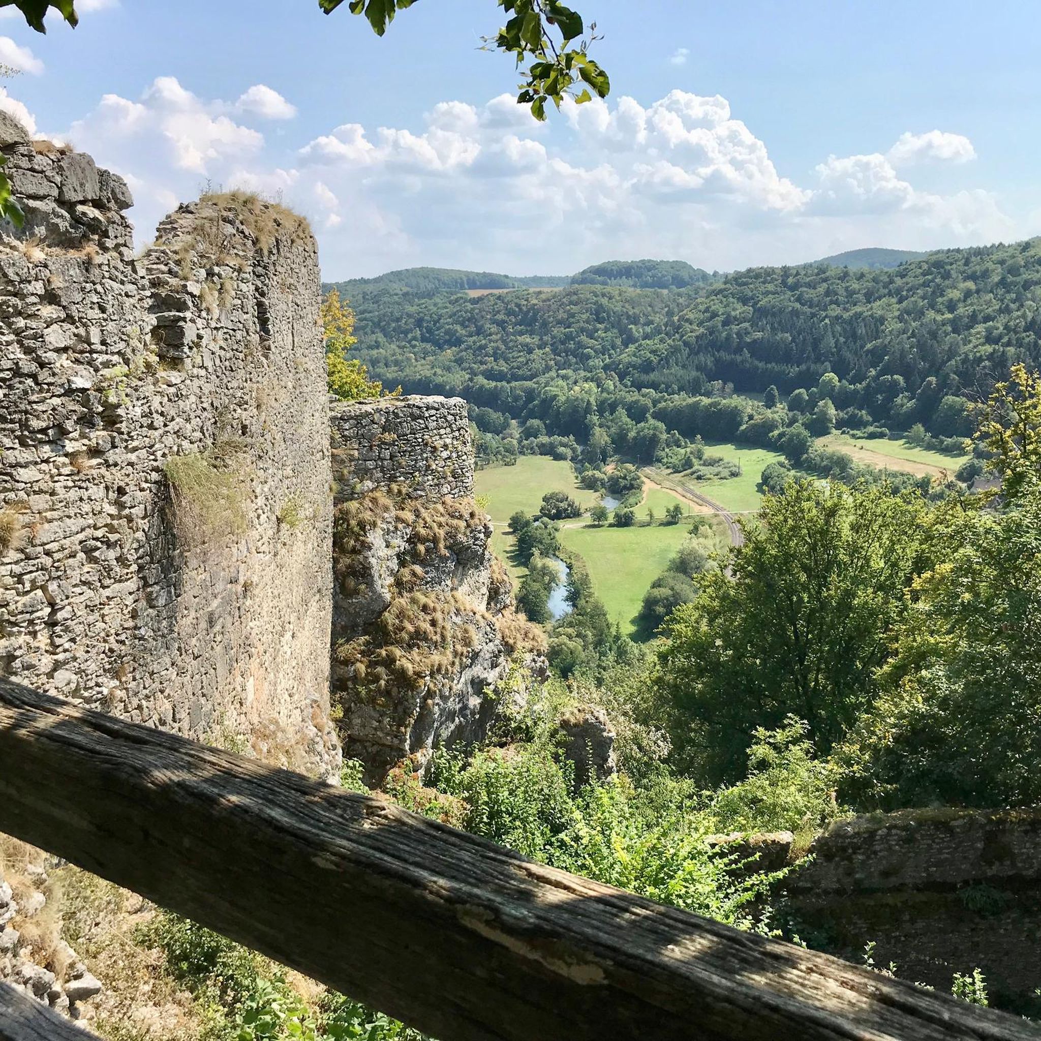
Machimoodus State Park is known for having acres of forests and trails that make their way down to the banks of the Salmon River. The trails are generally easy to follow and pretty easy footing. There aren't a lot of hills, and the hills that are there are nothing to write home about.
0
0
Frequently Asked Questions
Are dogs allowed in Machimoodus State Park?
Yes, dogs are welcome in Machimoodus State Park but must be kept on a leash at all times. The park's wide, open trails are great for walking with your canine companion.
Is there parking available for hikers?
Yes, there is a main parking area for the park located at 128 Leesville Rd, Moodus, CT. This lot provides direct access to the trail network.
Are there any easy, family-friendly hikes in the park?
Most trails in the park are considered easy and suitable for families. The paths are generally wide, following old farm roads with gentle terrain. The first part of the park leading to the ponds is also handicapped accessible, making it a good option for strollers and visitors with mobility challenges.
Which trail offers the best views?
For the best panoramic views, take a trail that leads to the summit of Mount Tom, the highest point in the park. From the overlooks, you can see across the Connecticut, Salmon, and Moodus Rivers. The Mount Tom loop from Moodus is a great option that leads you to these scenic vistas.
What is the terrain like on the hiking trails?
The trails consist of a pleasant mix of environments. You'll hike on wide dirt and gravel paths that were once farm roads, passing through woodlands, open wildflower meadows, and along the banks of the Salmon River and Salmon River Cove.
Are there any circular walks available?
Yes, the park is well-suited for loop hikes. Many of the color-coded trails connect to form circuits of varying lengths, allowing you to start and end at the main parking area without retracing your steps.
What makes the geology of Machimoodus State Park special?
The park's name, Machimoodus, means "the place of bad noises" in the language of the local Native American tribes. This refers to mysterious rumbling sounds that have been heard in the area for centuries. Geologists later determined these noises are the result of small, deep-focus "micro-earthquakes."
Is Machimoodus State Park a good place for bird watching?
Absolutely. The park's diverse habitats, including meadows, forests, and waterfronts, attract a wide variety of birds. You can spot migratory songbirds, waterfowl like ducks and swans, and even bald eagles in season, particularly near the Salmon River Cove.
Are there any waterfalls or water features in the area?
While the park itself is known for its two ponds and river frontage, a nearby trail offers a waterfall view. The Day Pond Brook Falls from Comstock Bridge — Day Pond State Park route is a great choice if you're looking to see a cascade.
How many hiking trails are in Machimoodus State Park?
You can find over 10 distinct hiking routes in and around Machimoodus State Park. The network consists of 4.5 miles of trails within the park itself, with many more options connecting to adjacent areas like Sunrise State Park and the Salmon River State Forest.
What do other hikers think of the trails in Machimoodus State Park?
The area is very highly rated by the komoot community, with an average score of 5.0 stars. Hikers often praise the well-maintained, spacious trails and the beautiful views over the river valleys from the overlooks on Mount Tom.
Are there any more challenging hikes available?
While most trails in the park are easy, you can find a more moderate challenge with a longer route. The Salmon River Trail loop from Comstock Bridge — Day Pond State Park is a 6.6-mile (10.6 km) hike with more significant elevation gain that explores the surrounding woodlands.
Most popular routes in Machimoodus State Park

Get inspired with the komoot mobile app


Explore more
Browse the best Hikes in other regions.
