George Dudley Seymour State Park
George Dudley Seymour State Park
The best running trails in George Dudley Seymour State Park
40
runners
5
runs
Jogging in George Dudley Seymour State Park offers diverse terrain along the Connecticut River in Haddam, Connecticut. The park features broad, grassy tidal flats, scenic rock cliffs, and a network of trails with surfaces including packed earth, gravel, and grass. It protects a mile of Connecticut River frontage and connects to Hurd State Park, providing options for extended running routes. The landscape includes significant grassland habitats, old foundations, stone walls, and large rock outcrops.
Best jogging routes in George Dudley…
Last updated: July 12, 2026
3
runners
4.35km
00:27
20m
20m
Easy run. Great for any fitness level. Mostly paved surfaces. Suitable for all skill levels.
2
runners
9.39km
01:02
140m
140m
Moderate run. Good fitness required. Mostly paved surfaces. Suitable for all skill levels.

Sign up for free
25
runners
18.6km
02:16
170m
170m
Hard run. Very good fitness required. Mostly paved surfaces. Suitable for all skill levels.
2
runners
5.17km
00:34
120m
120m
Moderate run. Good fitness required. Mostly paved surfaces. Suitable for all skill levels.
2
runners
11.9km
01:19
190m
190m
Moderate run. Good fitness required. Mostly paved surfaces. Suitable for all skill levels.
Our route recommendations are based on thousands of hikes, rides, and runs completed by other people on komoot.
Start today with a free account
Your next adventure awaits.
Login or Signup


Tips from the Community

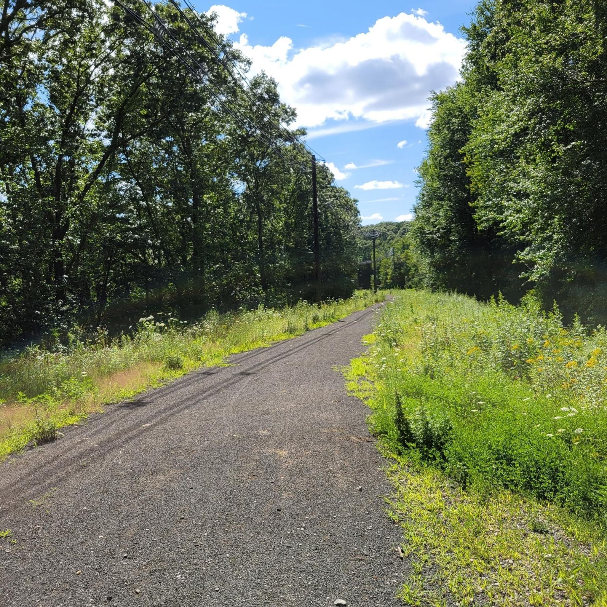
The Air Line State Park Trail in Connecticut is a rail trail and linear state park that is a part of the East Coast Greenway. There are several sections including: South (25 miles from East Hampton to Windham), North (21 miles from Windham to Putnam), Thompson addition (6.6 miles from Thompson to the Massachusetts state line), and an additional 3.6-mile spur to Colchester. Recognized as a national recreation trail by the U.S. Department of the Interior in 2002, it offers scenic routes for hiking and biking. This southern section of the trail near East Hampton is a gravel crushed trail that is great to ride on its own, or to access singeltrack in the nearby Salmon River Forest.
0
0

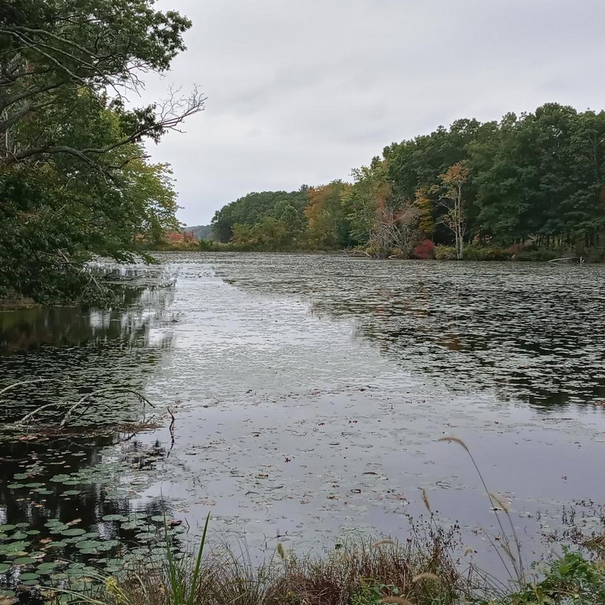
Popular with local hikers, Millers Pond State Park is lovely to ride past through the tall surrounding trees. The heart of the park is Millers Pond, a hive of activity for kayakers and paddleboarders in the summer.
1
0

Air Line State Park Trail is a gravel crushed trail that runs on an old rail bed. It's a great trail to ride on its own or to access singeltrack in the Salmon River Forest.
0
0

Completely gravel but mostly compacted. Loose rocks in some areas.
2
0
If you look to the sides of the path, you can see some of the beams and rails of the buried bridge.
1
0
Frequently Asked Questions
How many running routes are available in George Dudley Seymour State Park?
There are 7 dedicated running routes in George Dudley Seymour State Park, catering to various fitness levels. Over 50 runners have already explored these trails using komoot, highlighting the park's popularity for outdoor exercise.
What kind of terrain can I expect on the jogging trails in the park?
Joggers in George Dudley Seymour State Park will encounter a diverse range of terrain. Trails feature surfaces like packed earth/dirt, gravel/crushed stone, and grass. You'll find broad, grassy tidal flats along the Connecticut River, as well as scenic rock cliffs and varied forest paths.
Are there routes suitable for beginners or those looking for an easy run?
Yes, George Dudley Seymour State Park offers 2 easy running routes. A great option for a relaxed pace is the Running loop from Xavier High School, which is 2.7 miles (4.3 km) long and leads through local surroundings.
What are the more challenging running options in the park?
For those seeking a challenge, the park features 2 difficult routes. One notable option is the Former Lyman Viaduct – Air Line State Park Trail loop from East Hampton, a 12.9-mile (20.7 km) trail. Additionally, the park connects to Hurd State Park, which offers more challenging and moderately difficult trails with significant elevation changes.
Is George Dudley Seymour State Park dog-friendly?
Yes, pets are permitted in George Dudley Seymour State Park, provided they are kept on a leash. This makes it a great spot to enjoy a run with your canine companion.
Are there any loop trails for running in the park?
Absolutely. Many of the running paths in George Dudley Seymour State Park are designed as loops, offering convenient starting and ending points. For example, the Indian Hill loop from Xavier High School is a moderate 6.3-mile (10.2 km) path that provides a steady run with varied terrain.
What natural features or landmarks can I see while running?
The park is rich in natural and historical features. You can enjoy views of the Connecticut River, broad grassy tidal flats, and scenic rock cliffs. Trails also pass by significant grassland habitats, old foundations, stone walls, and large rock outcrops, adding interest to your run. The adjacent Hurd State Park offers 'must-see views from White Mountain, Split Rock, and River Vista'.
Is there parking available at George Dudley Seymour State Park?
George Dudley Seymour State Park operates as a 'walk-in' facility with limited amenities, suggesting that parking might be limited directly within the park. It's advisable to check local resources or maps for designated parking areas nearby, especially if accessing trails from specific points like Clarkhurst Road.
Are there any trails that offer scenic views of the Connecticut River?
Yes, the park protects a valuable mile of Connecticut River frontage, offering numerous opportunities for scenic views. A notable trail leads from Clarkhurst Road, passing old foundations and extending to a wide, grassy tidal flat along the Connecticut River, providing a relatively flat and picturesque running experience.
What is the best time of year to go running in George Dudley Seymour State Park?
The park's diverse landscapes, including grasslands and river frontage, make it enjoyable across seasons. While specific seasonal recommendations aren't provided, the varied terrain and natural beauty suggest spring and fall offer pleasant temperatures and vibrant scenery. Summer can be warm, and winter might offer cross-country skiing opportunities on some trails.
Can I combine running in George Dudley Seymour State Park with trails in nearby parks?
Yes, George Dudley Seymour State Park is adjacent to Hurd State Park. Together, these properties protect two and a half miles of Connecticut River frontage and a combined 1,249 acres. This connection allows for extended running routes and more challenging terrain into Hurd State Park, providing options for longer and more varied runs.
Are there any moderate difficulty running routes for a steady workout?
Yes, there are 3 moderate difficulty routes available. The Millers Pond loop from Millers Pond State Park is a 5.1-kilometer (3.2-mile) route that offers a good balance of distance and elevation for a steady workout.
Most popular routes in George Dudley Seymour State Park

Get inspired with the komoot mobile app


Explore more
Browse the best Running Trails & Routes in other regions.
