The best walks and hikes around Hüttikon
4.6
(2564)
19,154
hikers
914
hikes
Hiking around Hüttikon offers diverse landscapes within the Furttal valley, bordering the Canton of Aargau. The region is characterized by extensive forests, covering 36% of its area, and agricultural land, making up over 52%. Trails often follow the Limmat River or ascend to viewpoints like the Altberg Observation Tower, providing varied terrain for outdoor activities.
Best hiking trails around Hüttikon
- The most popular hiking route is Limmat Riverside Path – Limmat River loop from Oetwil, a 4.5 miles (7.3…
Last updated: June 27, 2026
4.6
(5)
88
hikers
7.42km
01:54
30m
30m
Easy hike. Great for any fitness level. Easily-accessible paths. Suitable for all skill levels.
4.8
(13)
60
hikers
3.87km
01:08
100m
100m
Easy hike. Great for any fitness level. Easily-accessible paths. Suitable for all skill levels.

Sign up for free
4.5
(11)
65
hikers
7.31km
01:54
50m
50m
Easy hike. Great for any fitness level. Easily-accessible paths. Suitable for all skill levels.
4.9
(8)
27
hikers
13.6km
04:23
430m
430m
Moderate hike. Good fitness required. Mostly accessible paths. Sure-footedness required.
5.0
(2)
25
hikers
12.5km
03:52
410m
410m
Moderate hike. Good fitness required. Mostly accessible paths. Sure-footedness required.
Get access to more routes and recommendations from other explorers.
Sign up for free
Already have an account?
Our route recommendations are based on thousands of hikes, rides, and runs completed by other people on komoot.
Start today with a free account
Your next adventure awaits.
Login or Signup
Tips from the Community

very pretty here, very pretty, very pretty
2
0

This tower is a radar station (secondary radar) for air traffic control and is operated by Skyguide. It processes exclusively echoes actively emitted by flying objects. Unlike the primary radar, which also uses echoes emitted immediately beforehand.
0
0

Beautiful route directly on the water
0
0

At 859 meters, the Burghorn is the highest point on the Lägerngrat. From here, you can enjoy spectacular panoramic views: to the south over the Limmat Valley to the Alps 🏔️, and to the north into the Surb Valley and the Aargau Jura 🌳 – a perfect place for a break with a view!
10
0
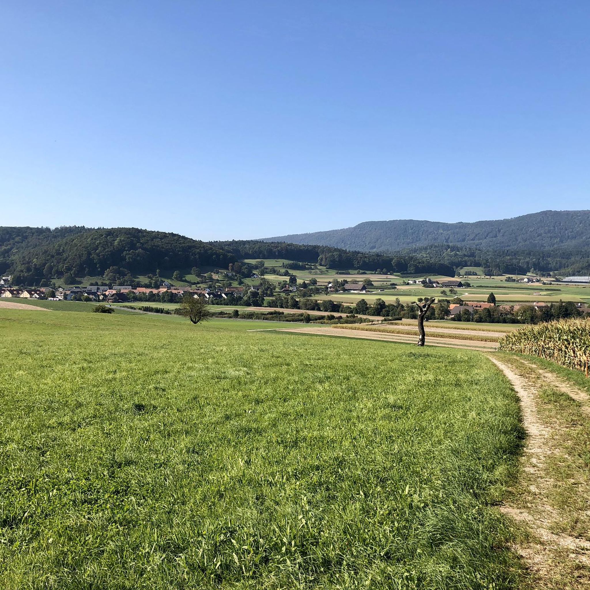
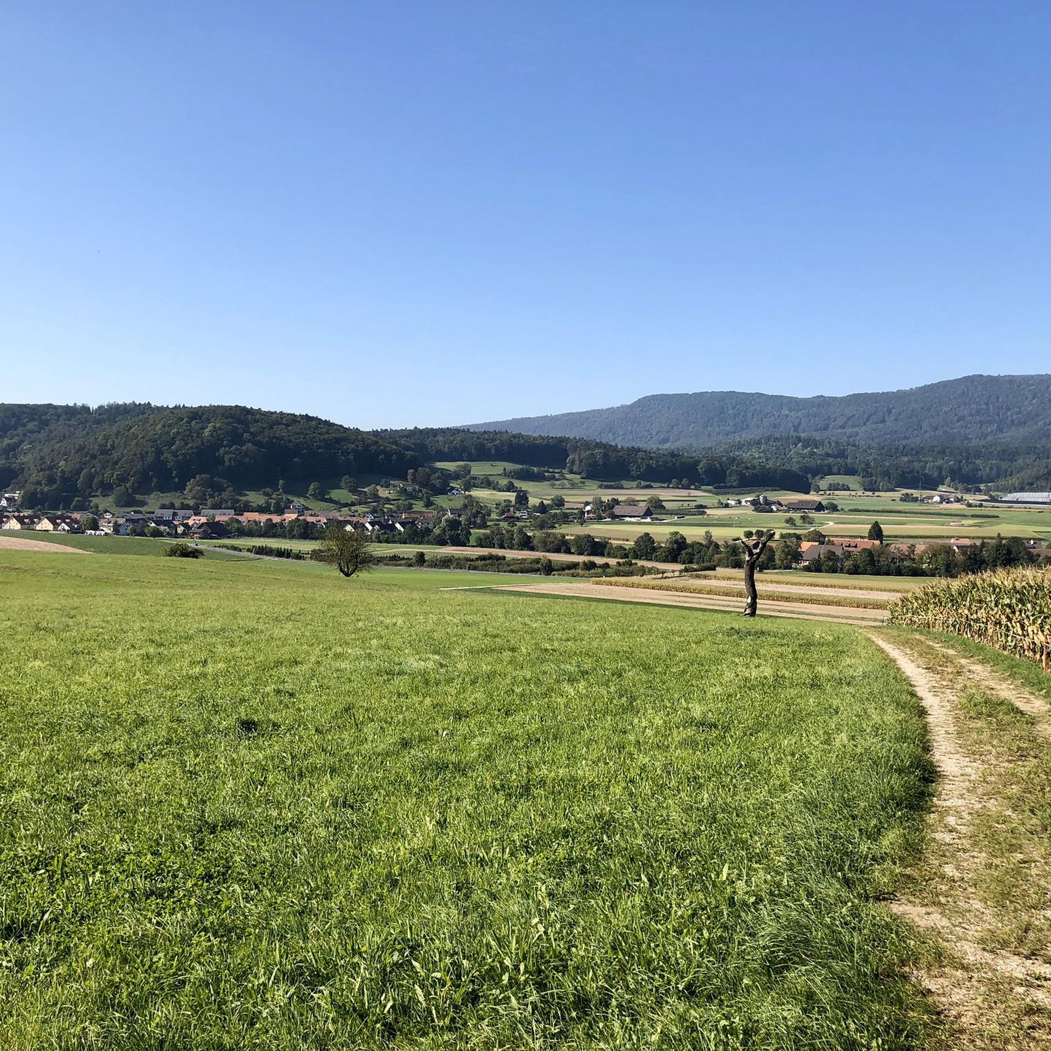
Incredibly beautiful view from up here...
1
0

Very nice and car-free bike path. Watch out for joggers and dog walkers.
0
0

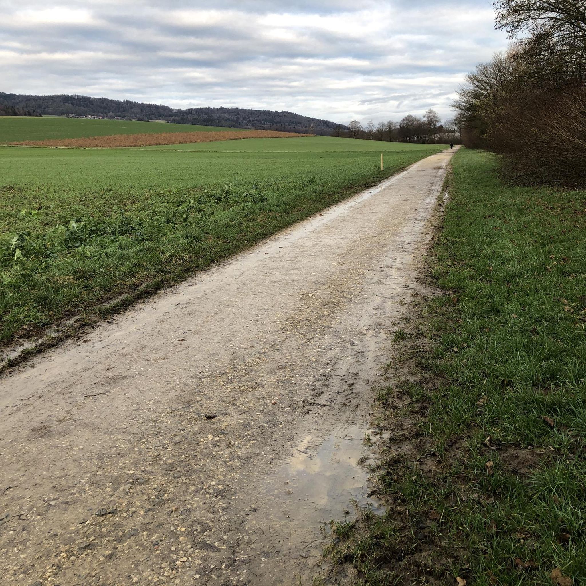
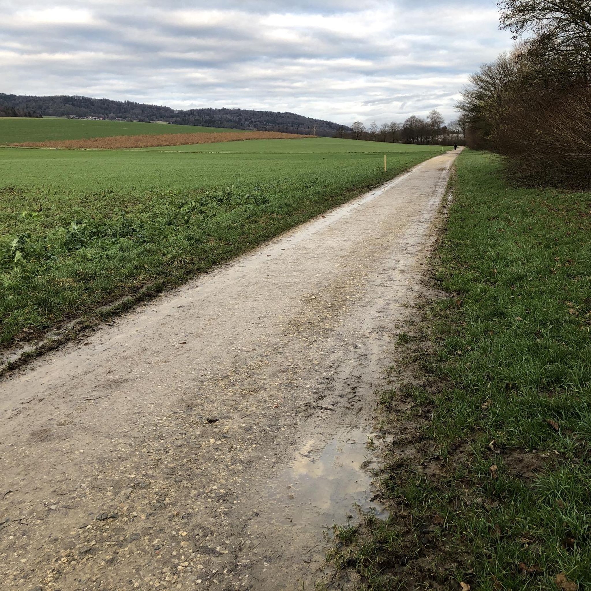
The way there is a gravel road, which is fine. On the way back, we turned further left onto a nice path, not the designated route.
0
0
Frequently Asked Questions
How many hiking trails are available around Hüttikon?
There are over 900 hiking trails in and around Hüttikon, offering a wide variety of options for all skill levels. This includes more than 500 easy routes, 350 moderate trails, and over 50 more challenging treks.
Are there easy hiking trails suitable for beginners in Hüttikon?
Yes, Hüttikon offers many easily accessible paths perfect for beginners and those looking for a relaxed stroll. For example, the Altberg Observation Tower loop from Hüttikon is an easy 2.4-mile path that leads to a rewarding viewpoint.
Are there more challenging hikes around Hüttikon?
For hikers seeking a challenge, Hüttikon provides several options. The Lägerngrat Ridge Trail loop from Otelfingen is a moderate 8.5-mile route with notable elevation gains, offering panoramic views from the Lägerngrat ridge. This trail often requires sure-footedness.
What are some scenic viewpoints or natural features to explore while hiking in Hüttikon?
Hüttikon boasts several scenic spots. The Altberg Observation Tower offers incredibly beautiful views of the surrounding landscape and is accessible via various loop trails. For expansive vistas, the Burghorn, the highest point on the Lägerngrat ridge, is another excellent destination. You can also explore natural highlights like Egelsee or the Teufelskeller Nature Reserve.
Are there family-friendly hiking options in Hüttikon?
Many trails around Hüttikon are suitable for families, with paths described as easily accessible and catering to all skill levels. Riverside paths along the Limmat River, such as the Limmat Cycle Path loop from Oetwil, offer gentle terrain for enjoyable family outings.
Can I bring my dog on hikes around Hüttikon?
Generally, dogs are welcome on hiking trails in the Hüttikon region. It's always advisable to keep your dog on a leash, especially in agricultural areas or near wildlife, and to respect local signage regarding dog access.
Are there circular hiking routes available in Hüttikon?
Yes, many of the hiking routes around Hüttikon are circular, allowing you to start and end at the same point. The Altberg Observation Tower loop from Hüttikon is a popular example of a circular trail.
What kind of terrain can I expect on hikes in Hüttikon?
Hüttikon's hiking terrain is diverse. You'll find easy riverside paths along the Limmat, ascents through forests to viewpoints like the Altberg, and more rugged ridge trails on the Lägerngrat. The landscape is characterized by extensive forests and agricultural land, providing varied natural environments.
What do other hikers enjoy most about hiking in Hüttikon?
The komoot community highly rates the hiking experience in Hüttikon, with an average score of 4.6 stars from over 2,300 reviews. Hikers often praise the diverse landscapes, the accessibility of the trails, and the rewarding views from spots like the Altberg Observation Tower.
Are there any historical landmarks or castles near Hüttikon to visit?
Yes, the region around Hüttikon features several historical sites. You can explore Regensberg Castle and Historic Village, or discover the ruins of Lägern Castle. These offer a glimpse into the area's rich history alongside your outdoor adventures.
What is the best time of year to hike around Hüttikon?
Hüttikon offers enjoyable hiking experiences throughout much of the year. Spring and autumn provide pleasant temperatures and beautiful scenery with blooming flora or vibrant fall colors. Summer is also popular, especially for riverside walks. Winter hiking is possible, though some higher or exposed trails might require more caution.
Are there options for public transport to access hiking trails in Hüttikon?
Hüttikon is generally well-connected, and many trailheads can be reached via public transport. Checking local bus and train schedules for specific starting points is recommended to plan your journey effectively.
Most popular attractions around Hüttikon

Get inspired with the komoot mobile app


Explore more
Browse the best Hikes in other regions.
