The best running trails in Penwood State Park
5.0
(1)
210
runners
42
runs
Jogging in Penwood State Park offers a network of trails through forested hills and varied terrain. The park features undulating paths with moderate elevation changes, providing opportunities for both casual runs and more challenging workouts. Runners can expect to navigate through woodlands and open areas, with some routes leading to scenic viewpoints.
Best jogging routes in Penwood State Park
- The most popular jogging route is Metacomet and Yellow Trail Loop, a 4.6 miles (7.5 km) trail that takes 58 minutes to complete. This loop offers a balanced experience through the park's natural landscape.
- Another top favourite among local runners is Laurel Hill – Penwood State Park loop from Gale Pond, a difficult 11.2 miles (18.1 km) path. This route features significant elevation gain and diverse scenery, including Laurel Hill.
- Local runners also love the Heublein Tower loop from Glover Preserve, a 10.6 miles (17.0 km) trail leading through forested areas towards the Heublein Tower, often completed in about 2 hours 6 minutes.
- Jogging in Penwood State Park is defined by forested trails, undulating terrain, and scenic viewpoints. The network offers options for different ability levels, from moderate loops to more difficult long-distance running routes.
- The routes in Penwood State Park are highly rated by the komoot community with an average score of 5.0 stars from 1 review. More than 200 runners have used komoot to explore Penwood State Park's varied terrain.
Last updated: July 7, 2026
6
runners
7.47km
00:58
160m
160m
Moderate run. Good fitness required. Mostly paved surfaces. Suitable for all skill levels.
9
runners
17.1km
02:06
340m
340m
Hard run. Very good fitness required. Mostly paved surfaces. Suitable for all skill levels.

Sign up for free
5
runners
7.19km
00:52
180m
180m
Moderate run. Good fitness required. Mostly paved surfaces. Suitable for all skill levels.
13
runners
7.03km
00:44
20m
20m
Moderate run. Good fitness required. Mostly paved surfaces. Suitable for all skill levels.
13
runners
6.72km
00:41
10m
10m
Moderate run. Good fitness required. Mostly paved surfaces. Suitable for all skill levels.
Get access to more routes and recommendations from other explorers.
Sign up for free
Already have an account?
Our route recommendations are based on thousands of hikes, rides, and runs completed by other people on komoot.
Start today with a free account
Your next adventure awaits.
Login or Signup
Popular around Penwood State Park

Tips from the Community

The Farmington Canal Heritage Trail is over 80 miles in each direction and follows the path of an old railroad line. It's a great spot for biking and is suitable for pretty much all tire widths. This section near Simsbury connects to some of the other trails in town and passes through a few of the city's parks.
0
0

This greenway is a joy to cycle on as you are immersed in the trees along a good quality path. The colours are truly spectacular in Autumn when the trees leaves turn to amber, crimson and golden hues.
0
0
Running along Simsbury's section of the Farmington Canal Heritage Trail is a delight for fitness enthusiasts. The trail weaves through scenic landscapes, charming neighborhoods, and historic sites, providing a perfect blend of nature and history. Runners relish the peaceful ambiance and the invigorating experience of exploring Simsbury's picturesque surroundings on this well-maintained pathway.
0
0

This 787-acres state park is located at the north end of Talcott Mountain State Park. The park offers picnic areas, numerous hiking trails, paved roads for cycling and fishing in the 2 ponds.
0
0

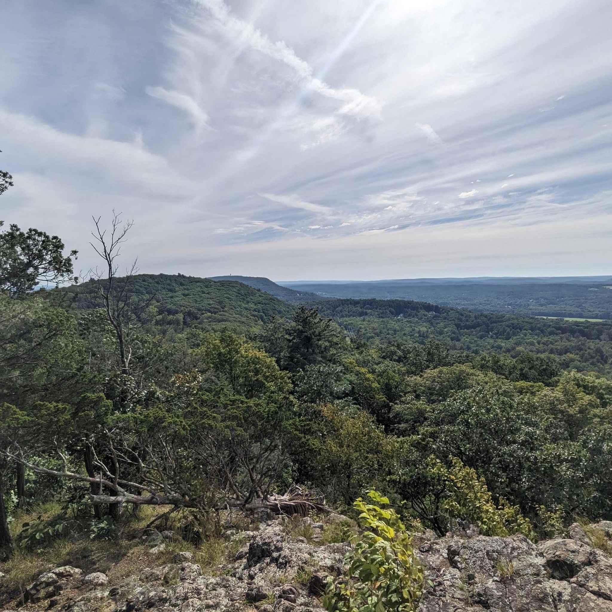
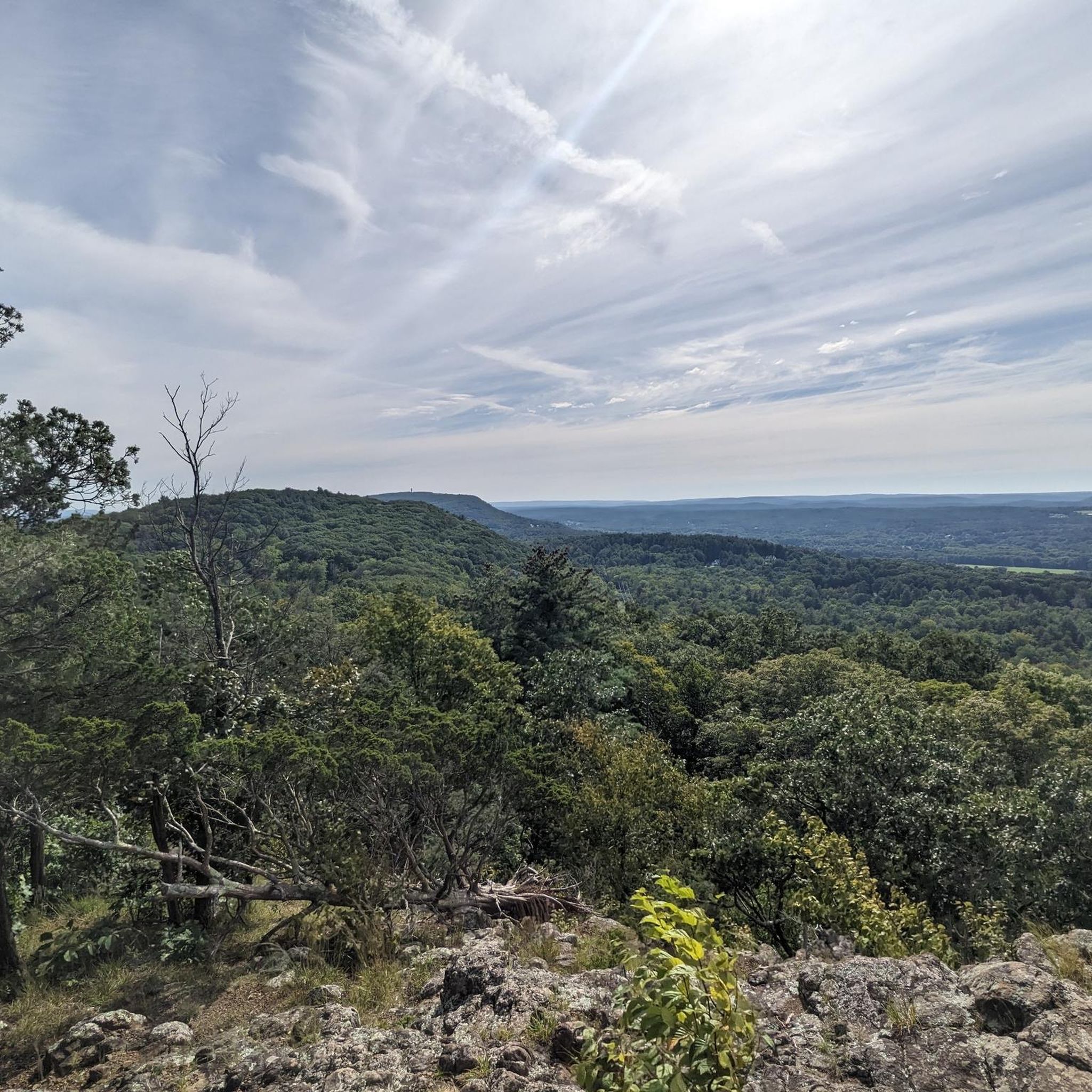
Great view from the peak onto Penwood State Park. It is definitely worth the effort that it takes to get to the top, as you are awarded with a great view of the valley that surrounds the park.
2
0

For 1.5 miles, the New England National Scenic Trail takes you alongside Hartford Reservoir Number 6. Enjoy a peaceful walk with beautiful views of the water. The trail continues on past the reservoir in either direction, but you can connect to other trails to run a loop around the water.
0
0
The tower was built by Gilbert Heublien, the previous owner of the land, to make good on a promise to his wife that he would build her a castle. In 1966, the State of Connecticut’s Department of Energy & Environmental Protection brought the land and the tower and opened it to the public in 1983. Now, the visitors can enter the tower and go to the top for a great view of Talcott Mountain State Park and the surrounding area.
1
0
For 1.5 miles, the New England National Scenic Trail takes you alongside Hartford Reservoir Number 6. Enjoy a peaceful walk with beautiful views of the water. The trail continues on past the reservoir in either direction, but you can connect to other trails to run a loop around the water.
0
0
Frequently Asked Questions
What is the general difficulty level of running routes in Penwood State Park?
Penwood State Park offers a range of running routes suitable for various fitness levels. You'll find undulating paths with moderate elevation changes, providing options from casual runs to more challenging workouts. Out of 35 available routes, 4 are considered easy, 26 are moderate, and 5 are difficult, ensuring there's something for everyone.
Are there any family-friendly running trails in Penwood State Park?
Yes, Penwood State Park has several routes that are suitable for families. While the park features undulating terrain, there are 4 easy routes that are generally shorter and have less elevation gain, making them a good choice for a family outing. These trails allow for a pleasant experience through the park's natural landscape.
Can I bring my dog on the jogging trails in Penwood State Park?
Yes, Penwood State Park is generally dog-friendly, allowing leashed dogs on its trails. It's a great place to enjoy a run with your canine companion amidst the forested hills. Always remember to keep your dog on a leash and clean up after them to maintain the park's natural beauty for all visitors.
Are there any loop running routes available in Penwood State Park?
Absolutely, loop routes are a popular feature in Penwood State Park. For example, the Metacomet and Yellow Trail Loop is a moderate 4.6-mile (7.5 km) option. Another popular choice is the Penwood State Park loop from Glover Preserve, which is a 4.2-mile (6.8 km) moderate route.
What kind of views or landmarks can I expect to see while running in Penwood State Park?
Penwood State Park is known for its scenic viewpoints and forested areas. A notable landmark is the Heublein Tower, which can be reached via routes like the Heublein Tower loop from Glover Preserve. This route offers diverse scenery as you make your way towards the tower, providing rewarding panoramic views.
What is the best time of year to go running in Penwood State Park?
Penwood State Park offers enjoyable running conditions throughout much of the year. Spring and fall are particularly popular due to milder temperatures and vibrant foliage. Summer can be pleasant, especially in the shaded wooded areas, but be mindful of humidity. Winter running is also possible, though trails may be covered in snow or ice, requiring appropriate gear.
How long are the running trails in Penwood State Park?
The running trails in Penwood State Park vary significantly in length. You can find shorter, easy routes for quick runs, as well as longer, more challenging paths. For instance, the Metacomet and Yellow Trail Loop is about 4.6 miles (7.5 km), while the difficult Laurel Hill – Penwood State Park loop from Gale Pond extends to 11.2 miles (18.1 km).
Is there parking available for the running trails at Penwood State Park?
Yes, Penwood State Park provides designated parking areas for visitors accessing the trails. These parking lots are typically located near trailheads, offering convenient access to the park's extensive network of running paths. It's always a good idea to arrive early during peak times to secure a spot.
What do other runners enjoy most about the trails in Penwood State Park?
The running routes in Penwood State Park are highly rated by the komoot community, with an average score of 5.0 stars. Runners often praise the park's varied terrain, which includes both forested trails and undulating paths, as well as the scenic viewpoints. The diverse options cater to different ability levels, making it a favorite among local runners.
Are there any cafes or amenities near Penwood State Park for after a run?
While Penwood State Park itself is primarily a natural area, the park is located near the town of Bloomfield, Connecticut. In Bloomfield and surrounding areas, you can find various local cafes, restaurants, and shops where you can refuel and relax after your run. These amenities are typically a short drive from the park's entrances.
Are there any particularly challenging running routes for experienced runners?
Yes, experienced runners looking for a challenge will find several difficult routes in Penwood State Park. For example, the Laurel Hill – Penwood State Park loop from Gale Pond is an 11.2-mile (18.1 km) path with significant elevation gain. Another demanding option is the Heublein Tower – Penwood State Park loop from Glover Preserve, a 4.6-mile (7.4 km) difficult route.
What should I wear for running in Penwood State Park?
Given the varied terrain and potential for elevation changes, it's recommended to wear comfortable, moisture-wicking athletic clothing suitable for the weather conditions. Sturdy trail running shoes with good grip are advisable for navigating the park's undulating paths. Layers are also a good idea, especially during cooler months or if you're running at dawn or dusk.
Most popular routes in Penwood State Park

Get inspired with the komoot mobile app


Explore more
Browse the best Running Trails & Routes in other regions.
