The best cycling routes in Mount Holyoke Range State Park Cr
4.8
(85)
370
riders
54
rides
Touring cycling in Mount Holyoke Range State Park Cr offers routes through a diverse landscape characterized by a 7-mile mountain ridgeline and varied ecosystems including streams, wetlands, and woodlands. The park is part of the Metacomet Ridge, featuring distinct basalt formations. Opportunities range from challenging ascents to the Mount Holyoke peak to flatter sections along rail trails. The region provides a mix of paved and unpaved surfaces suitable for touring cyclists.
Best touring cycling routes in Mount Holyoke Range State…
Last updated: June 28, 2026
5.0
(1)
3
riders
33.0km
02:05
360m
360m
Moderate bike ride. Good fitness required. Mostly paved surfaces. Suitable for all skill levels.
5.0
(3)
34
riders
Moderate bike ride. Good fitness required. Mostly paved surfaces. Suitable for all skill levels.

Sign up for free
13
riders
Moderate bike ride. Good fitness required. Mostly paved surfaces. Suitable for all skill levels.
4.7
(3)
54
riders
24.2km
01:25
90m
90m
Easy bike ride. Great for any fitness level. Mostly paved surfaces. Suitable for all skill levels.
5.0
(16)
46
riders
Moderate bike ride. Good fitness required. Mostly paved surfaces. Suitable for all skill levels.
Get access to more routes and recommendations from other explorers.
Sign up for free
Already have an account?
Our route recommendations are based on thousands of hikes, rides, and runs completed by other people on komoot.
Start today with a free account
Your next adventure awaits.
Login or Signup
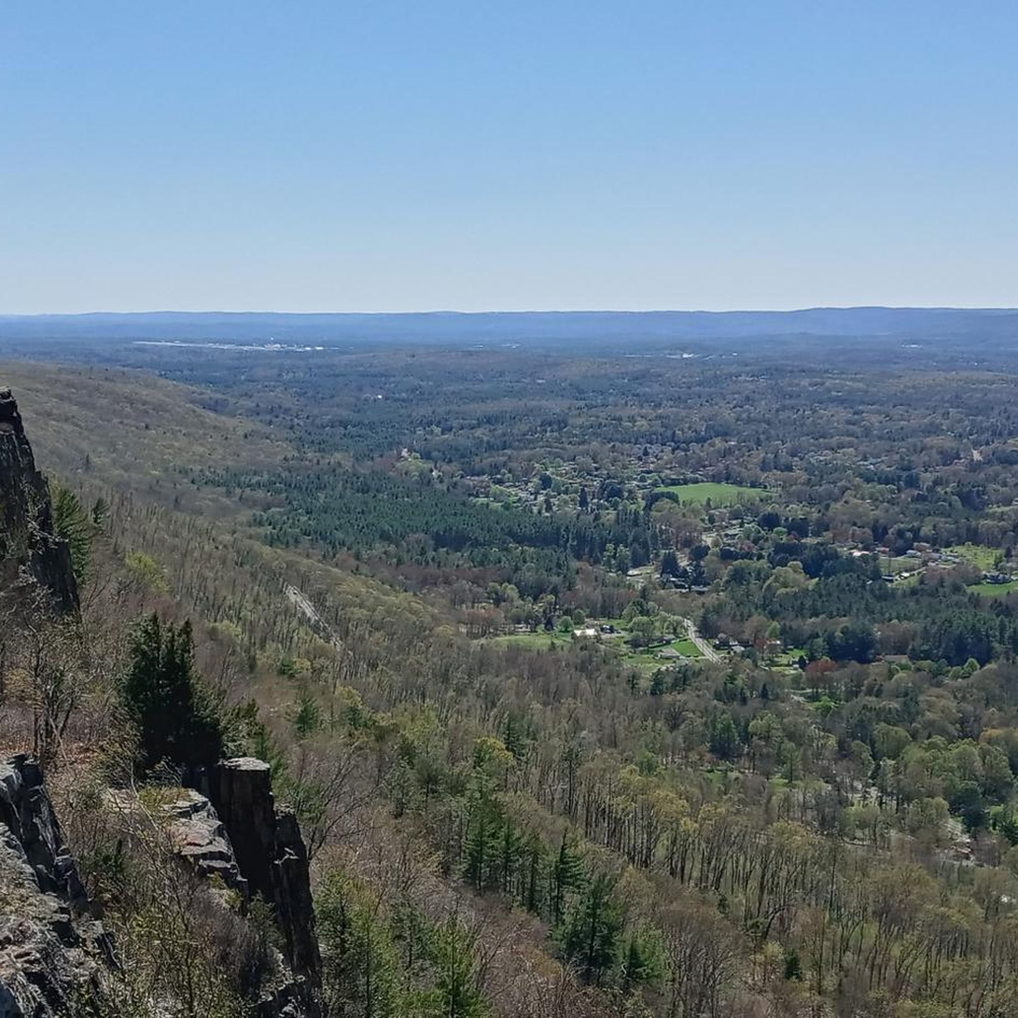

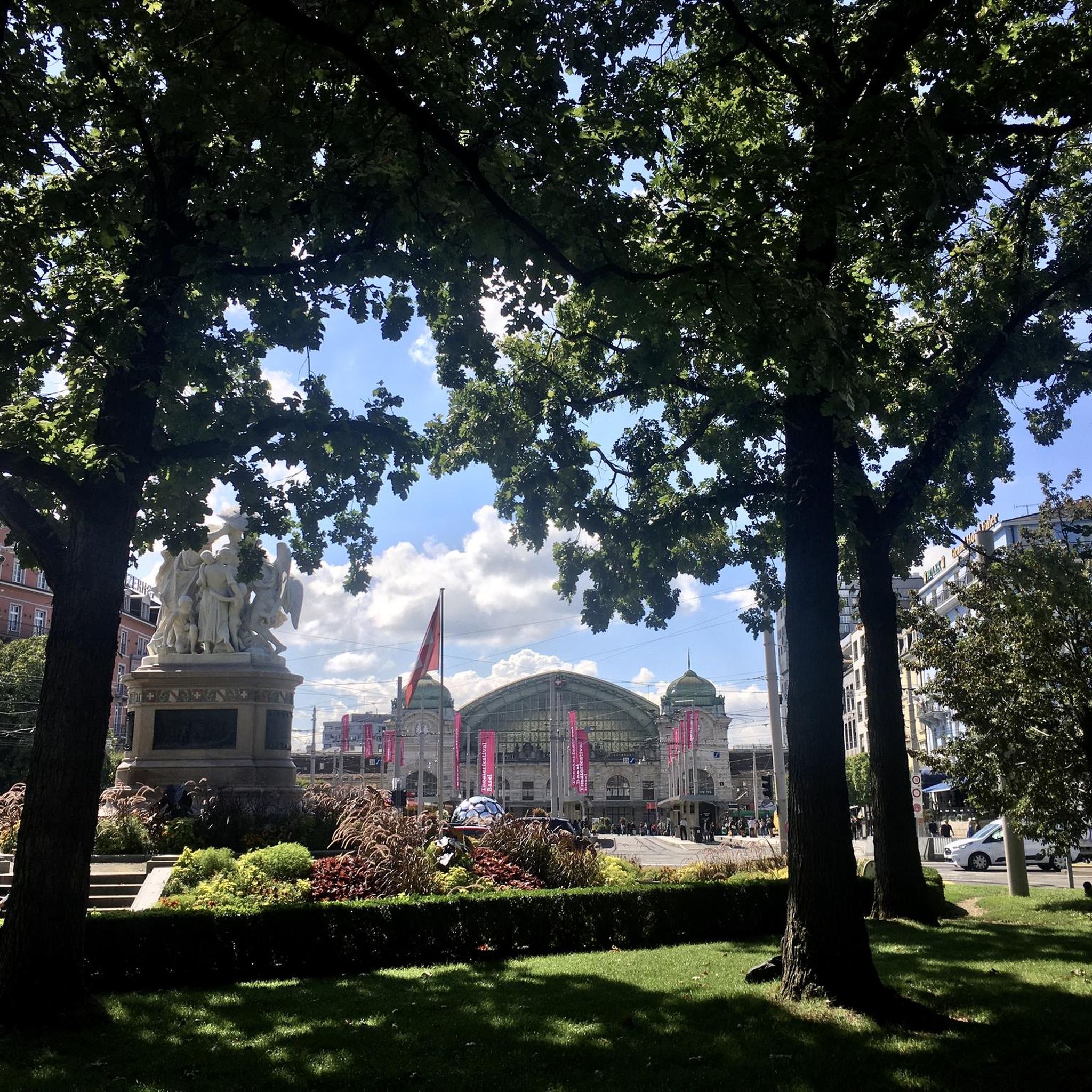


Tips from the Community

Nice paved rail trail with beautiful scenery. The pavement is pretty new but there are a few cracks so take it easy if you've got really narrow tires.
0
0
great paved foot/cycle path.
0
0

With forests, brooks, swamps, meadows, and wetlands, the Topping Farm Conservation Area really is a haven for the plants and animals that call the property their home. A few different paved roads wind around the area and offer views of the nature preserve from the roadside.
0
0

This is a great section of the Norwottuck Rail Trail. It winds through beautiful pine forests and wetlands. The trail is completely off the road, so you should have a comfortable traffic-free ride.
1
0

This park has a lot going on. Fun to ride through the light display in December, and a variety of events throughout the year, including cyclocross, archery competitions, Highland games; and through it all, walkers and picnickers
0
0
This section of the rail trail, from the top of the hill in Amherst to the end of the trail in Belchertown, includes this crossing of the fort river and goes through a lot of beautiful wetlands
0
0
This bridge along the Norwottuck Rail Trail crosses the Fort River and offers great views of the waterway.
0
0

Lower Millpond makes a nice stopover if you're cycling the New Haven & Northampton Canal Greenway. The actual mill itself is on the other side of the paved greenway, and has been transformed into a commercial development with art galleries, restaurants, shops and a brewery.
0
0
Frequently Asked Questions
How many touring cycling routes are available in Mount Holyoke Range State Park?
Mount Holyoke Range State Park offers a wide selection of touring cycling routes, with over 50 options available. These routes cater to various skill levels, including 24 easy, 29 moderate, and 5 difficult trails.
What kind of terrain can I expect on touring cycling routes in Mount Holyoke Range State Park?
The park's terrain is diverse, featuring a dramatic 7-mile mountain ridgeline with various ecosystems. You'll find a mix of paved and unpaved surfaces. Some routes, like the auto road to Mount Holyoke's peak, involve challenging climbs with an average gradient of 8.1%, while others, such as sections of the Norwottuck Rail Trail, offer relatively flat rides along former rail lines.
Are there any challenging touring cycling routes for experienced riders?
Yes, for experienced riders seeking a challenge, the auto road to the peak of Mount Holyoke within Skinner State Park offers a strenuous 1.8-mile climb with an average gradient of 8.1%. This route provides rewarding panoramic views from the summit. While not explicitly listed as 'difficult' in our data, the description from region research indicates it's a significant climb.
Are there easy or family-friendly touring cycling routes in the park?
Absolutely. For an easy and family-friendly option, consider the Norwottuck Rail Trail Bridge loop from Fort River Grasslands Division. This 6.9-mile path offers a relatively flat ride along a former rail line, making it suitable for a relaxed outing. The park has 24 easy routes in total.
What are some notable landmarks or viewpoints I can see while cycling?
The park is rich with scenic viewpoints and landmarks. You can enjoy stunning views of the Pioneer Valley and the Connecticut River from the Summit House at the top of Mount Holyoke. Mount Norwottock, the tallest peak, also offers expansive views, and below its summit are the unique Horse Caves. The 7-mile mountain ridgeline itself provides near-constant vistas.
Are there any circular touring cycling routes available?
Yes, many routes in the park are designed as loops. For example, the Aldrich Lake – Bachelor Brook Reservoir loop from Batchelor Brook Area is a moderate 20.5-mile circular route exploring reservoirs and natural surroundings. Another option is the Main Street – Norwottuck Rail Trail Bridge loop from Northampton, an easy 24.2-mile loop.
What is the best time of year to go touring cycling in Mount Holyoke Range State Park?
The park is particularly beautiful during the fall, with peak foliage around mid-October, offering breathtaking views. The higher elevations also provide a respite from summer heat. The auto road to Mount Holyoke's peak is open to cyclists from Memorial Day through Columbus Day, making late spring through early fall ideal for that specific climb.
Is parking available for touring cyclists?
Yes, parking is available at several access points. The Notch Visitor Center, for instance, serves as a popular starting point for many trails and offers parking facilities. It's advisable to check specific route starting points for detailed parking information.
Can I bring my dog on touring cycling routes in Mount Holyoke Range State Park?
While the region research mentions the park is popular for various activities, specific regulations regarding dogs on cycling trails are not detailed. It's generally recommended to check the official Mount Holyoke Range State Park website or contact the Massachusetts Department of Conservation and Recreation for their current pet policy on trails.
What do other cyclists say about touring cycling in Mount Holyoke Range State Park?
The touring cycling routes in Mount Holyoke Range State Park are highly rated by the komoot community, with an average score of 4.7 stars from over 70 reviews. Cyclists often praise the diverse landscapes, the rewarding views from the ridgeline, and the variety of routes catering to different ability levels, from easy rail trail sections to more challenging climbs.
Are there routes that offer views of the Connecticut River?
Yes, several routes provide stunning views of the Connecticut River. The auto road to the peak of Mount Holyoke, for example, offers surprisingly amazing views of the Pioneer Valley and the Connecticut River from its summit. Additionally, the View of the Connecticut River – Norwottuck Rail Trail Bridge loop from Northampton is a moderate 45.2-mile route specifically designed to showcase these scenic vistas.
Where can I find facilities like restrooms or picnic areas?
The Notch Visitor Center is a key facility within the park, offering restrooms and picnic areas. It also serves as a contact station for trail orientation and provides exhibits on local flora, fauna, geology, and history, making it a convenient stop for cyclists.
Most popular routes in Mount Holyoke Range State Park Cr

Get inspired with the komoot mobile app


Explore more
Browse the best Cycling routes in other regions.
