Airline State Park Trail (Northern Section)
Airline State Park Trail (Northern Section)
The best walks and hikes in Airline State Park Trail (Northern Section)
4.3
(16)
155
hikers
67
hikes
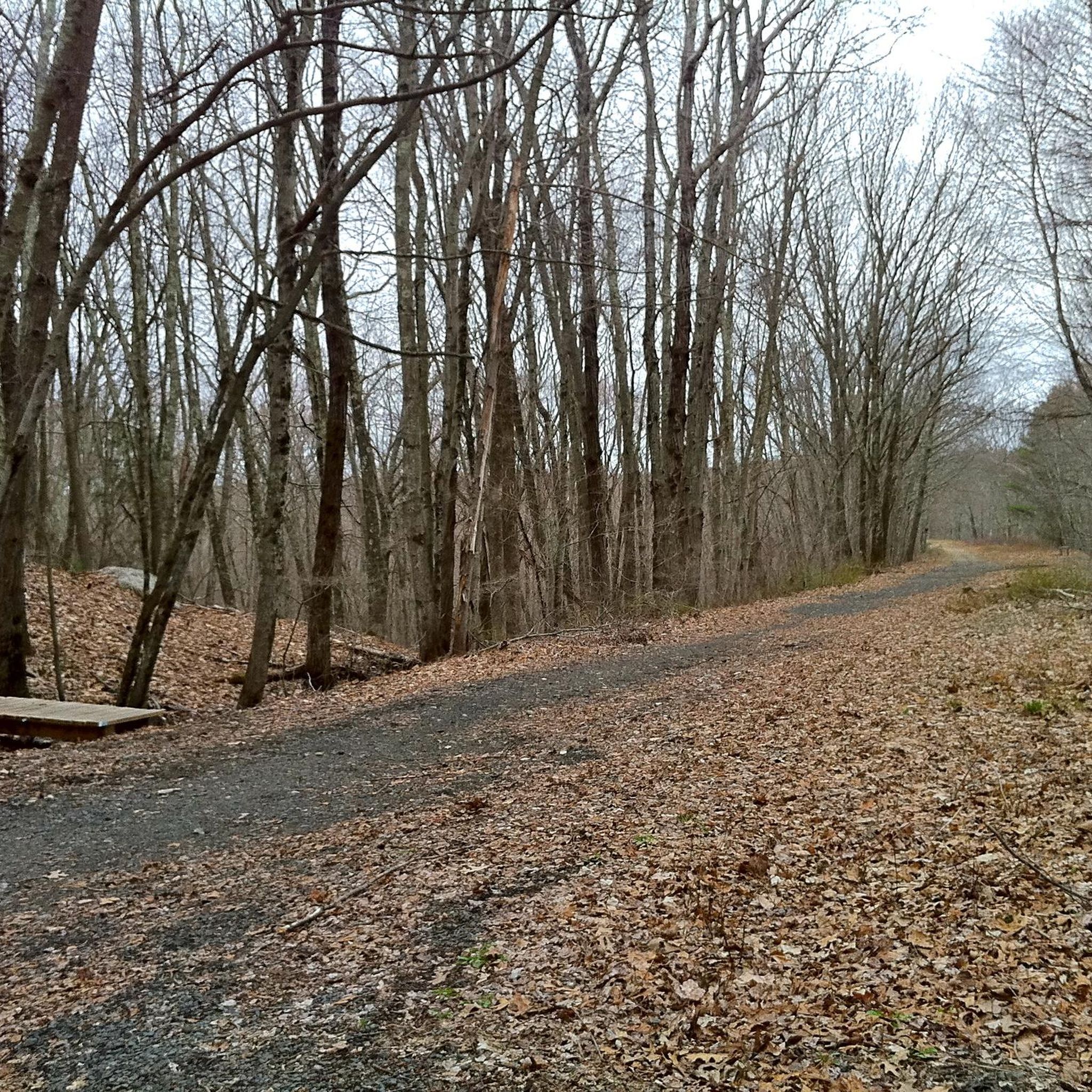
Hiking in the Airline State Park Trail's northern section follows a former railway line through the woodlands of northeastern Connecticut. The terrain is primarily composed of crushed stone and original rail ballast paths, creating a relatively flat but sometimes rugged surface. The route passes through dense forests, alongside ponds and marshes, and connects to several state forests, including James L. Goodwin State Forest and Natchaug State Forest.
Best hiking trails in Airline State Park Trail (Northern Section)
- The most popular…
Last updated: July 7, 2026
3
hikers
7.77km
02:01
50m
50m
Moderate hike. Good fitness required. Easily-accessible paths. Suitable for all skill levels.
5.77km
01:31
50m
40m
Easy hike. Great for any fitness level. Easily-accessible paths. Suitable for all skill levels.

Sign up for free
12.6km
03:15
50m
90m
Moderate hike. Good fitness required. Easily-accessible paths. Suitable for all skill levels.
8.71km
02:21
110m
120m
Moderate hike. Good fitness required. Easily-accessible paths. Suitable for all skill levels.
1.61km
00:25
10m
10m
Easy hike. Great for any fitness level. Easily-accessible paths. Suitable for all skill levels.
Get access to more routes and recommendations from other explorers.
Sign up for free
Already have an account?
Our route recommendations are based on thousands of hikes, rides, and runs completed by other people on komoot.
Start today with a free account
Your next adventure awaits.
Login or Signup
Popular around Airline State Park Trail (Northern Section)


Tips from the Community

Short bike and walk to a place where I was young and innocent. Spent decades out here on four wheelers and hiking.
0
0

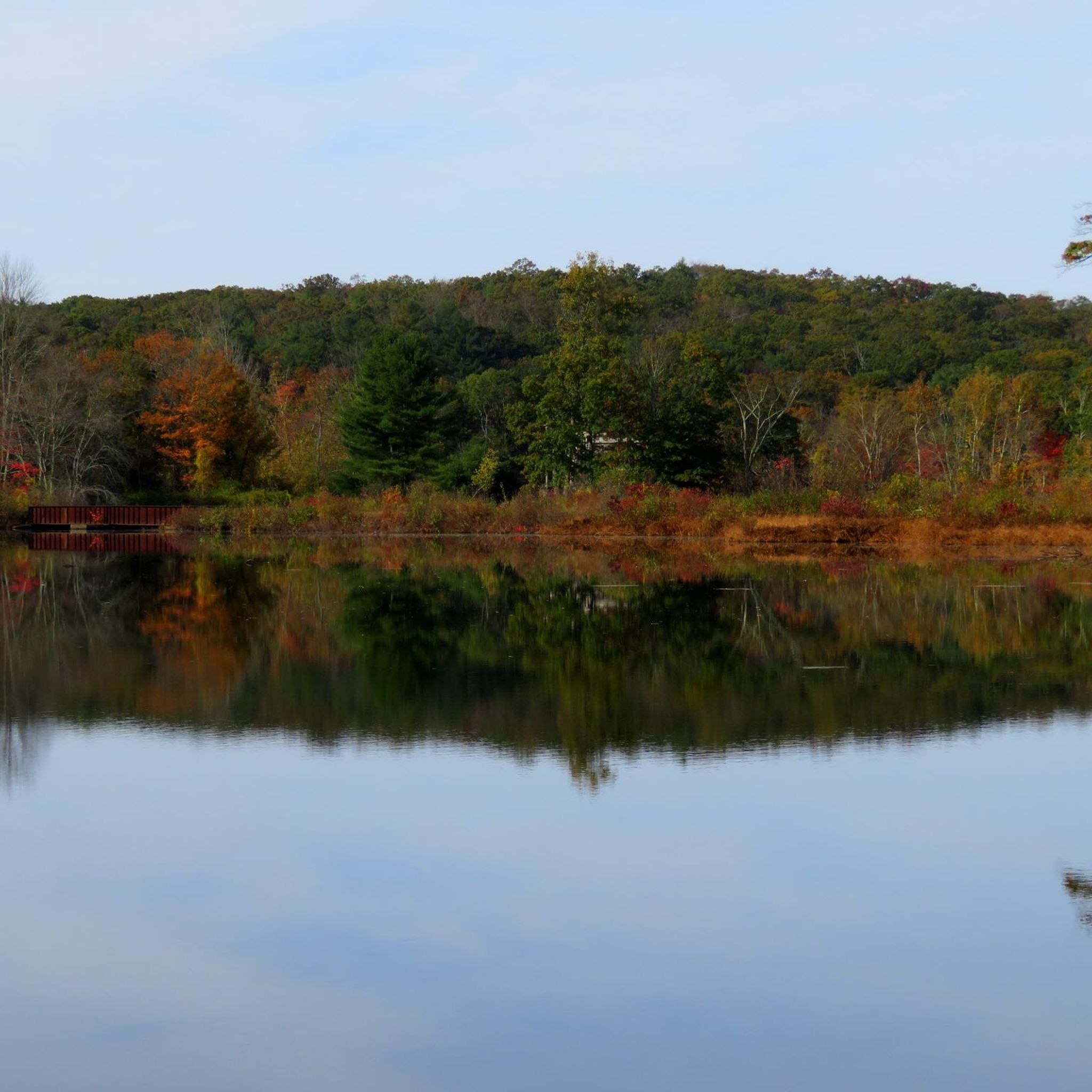
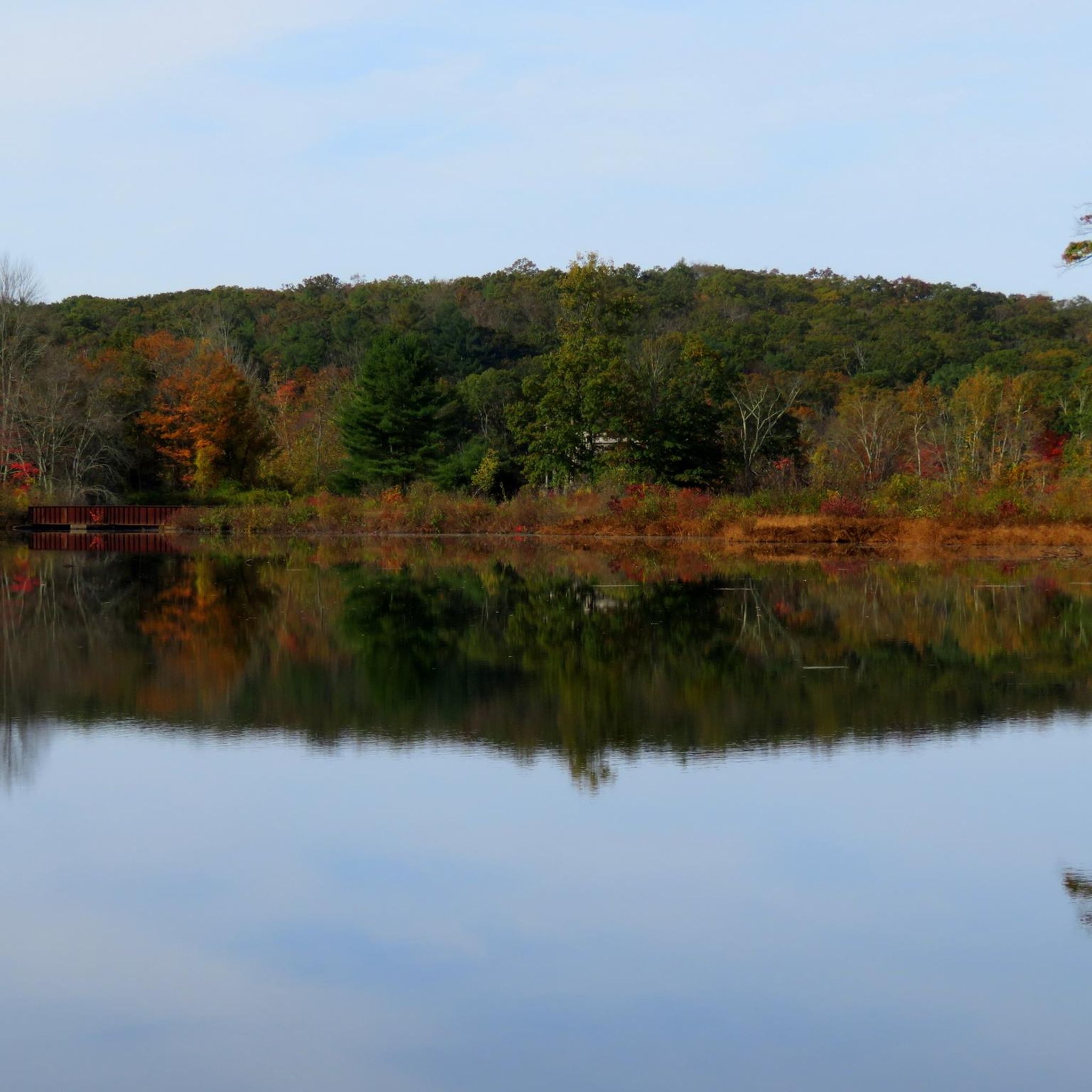
The Governor's Island observation deck, located on Pine Acres Pond, features interpretive signs detailing the lake's history and local wildlife. This platform provides an informative and scenic spot for visitors to enjoy views of the pond while learning about the area's natural and historical significance.
0
0
At the junction of the Airline Trail and Natchaug Trail in James L. Goodwin State Forest, hikers have two enticing options. Following the Natchaug Trail leads deeper into the forest, eventually reaching the serene Black Spruce Pond. Alternatively, continuing along the Airline Trail provides beautiful views of the 135-acre Pine Acres Lake. Both routes offer unique scenic experiences, showcasing the diverse beauty of the forest.
0
0

The James L. Goodwin State Forest is a Connecticut state forest that spans around 2,000 acres. The land was donated by James L. Goodwin to the state in 1964. This forest can be seen along the East Coast Greenway near Pine Acres Lake.
0
1
Frequently Asked Questions
Are dogs allowed on the Airline State Park Trail?
Yes, dogs are permitted on the Airline State Park Trail, but they must be kept on a leash at all times. The trail's relatively flat and wide paths make it a great place to walk with your canine companion.
Where can I park to access the northern section of the trail?
There are several parking areas along the northern section. A popular spot is the lot for the Air Line State Park Trail in East Thompson, which provides good access to the more rugged, northernmost part of the trail. You can also find parking where the trail intersects with local roads in towns like Pomfret and Hampton, and at the adjacent state forests.
What is the terrain like on the northern section?
The trail surface is mostly crushed stone and original railway ballast. This makes for a relatively flat but sometimes uneven and rugged hike. The northernmost six miles near Thompson are particularly secluded and rocky, offering a more challenging feel, while the sections further south towards Windham are generally smoother.
Are there any easy hikes for beginners or families?
Absolutely. The trail's flat grade makes most of it suitable for all skill levels. For a dedicated short and easy walk, the Tripoint marker loop from East Thompson is a great option. It's a manageable walk that still gives you a feel for the trail's character.
Are there any challenging hikes in the area?
Yes, for those seeking a full-day challenge, the Tripoint marker via Air Line Trail is a demanding hike. This long-distance route covers a significant portion of the trail and requires considerable stamina due to its length.
What historic sites can I see along the trail?
The trail itself is a piece of history, following an old railway line. From the trail, you can access Mashamoquet Brook State Park, home to the legendary Wolf Den. You can also reach Natchaug State Forest, where you'll find the stone chimney remains of General Nathaniel Lyon's birthplace.
What is the best time of year to hike the Airline Trail?
The trail is beautiful year-round. Spring brings wildflowers, while summer offers a lush 'green tunnel' of tree cover. However, the area is especially popular in autumn when the surrounding woodlands display spectacular fall foliage. Winter hiking is also possible, but be prepared for snow and ice on the path.
Can I go trail running on the Airline State Park Trail?
Yes, the trail is very popular with runners. Its flat and straight nature makes it ideal for running, though you should be mindful of the surface, which can be uneven with loose stones in some sections. The smoother parts between Pomfret and Windham are particularly well-suited for a steady run.
How many hiking trails are there in this area?
While the Airline Trail is the main artery, it connects to a wider network of paths. In total, there are nearly 30 designated hiking routes in and around the northern section, including loops within the adjoining James L. Goodwin and Natchaug State Forests.
What do other hikers enjoy most about this trail?
The area is well-regarded by the komoot community. Reviewers often praise the trail's peaceful, secluded atmosphere and the feeling of being immersed in nature. The combination of easy, flat terrain with the scenic beauty of the surrounding forests, ponds, and marshes is a frequently mentioned highlight.
Is the trail accessible by public transport?
Public transportation options to the trailheads in this rural part of Connecticut are very limited. Accessing the northern section of the Airline State Park Trail is most practical by car.
Most popular routes in Airline State Park Trail (Northern Section)

Get inspired with the komoot mobile app


Explore more
Browse the best Hikes in other regions.
