The best running trails in Colt State Park
5.0
(3)
202
runners
41
runs
Jogging in Colt State Park offers diverse landscapes across its 464 acres, featuring expansive lawns, open fields, and historic stone walls. The park's western edge boasts four miles of shoreline along Narragansett Bay, providing coastal running experiences. A network of four miles of paved pathways winds through the varied terrain, including sections along the bay and over a rock bridge. The park also connects to the East Bay Bike Path, extending running options significantly.
Best jogging routes in Colt State Park
- The most popular jogging route is Halfmile Hill – Bristol Town Beach Pier loop from Bristol County, a 10.8 miles (17.4 km) trail that takes 1 hour 48 minutes to complete. This difficult route features a notable elevation gain of 238 feet (72 meters).
- Another top favourite among local runners is Ferry Hill loop from Bristol, a difficult 14.0 miles (22.5 km) path. This route offers the most significant elevation gain among the park's trails, reaching 573 feet (174 meters).
- Local runners also love the Bristol Town Beach Pier – Colt State Park loop from Bristol, a 7.1 miles (11.4 km) trail leading through coastal areas and parkland, often completed in about 1 hour 10 minutes.
- Jogging in Colt State Park is defined by coastal paths along Narragansett Bay, open fields, and paved pathways. The network offers options for different ability levels, from moderate loops to more challenging routes.
- The routes in Colt State Park are highly rated by the komoot community. More than 130 runners have used komoot to explore Colt State Park's varied terrain.
Last updated: June 28, 2026
6
runners
4.97km
00:31
20m
20m
Easy run. Great for any fitness level. Mostly paved surfaces. Suitable for all skill levels.
7
runners
6.28km
00:41
20m
20m
Moderate run. Good fitness required. Mostly paved surfaces. Suitable for all skill levels.

Sign up for free
28
runners
17.4km
01:48
70m
70m
Hard run. Very good fitness required. Mostly paved surfaces. Suitable for all skill levels.
22
runners
22.6km
02:23
180m
170m
The Ferry Hill loop from Bristol offers a demanding jogging experience through the diverse landscapes of Bristol County. You'll encounter varied terrain, from paved sections to natural paths, with the potential for scenic views of Mount Hope Bay and glimpses of local wildlife like deer or woodchucks. This 14.0-mile (22.6 km) route is classified as difficult, making it ideal for runners with very good fitness looking for a substantial workout.
Planning your visit means preparing for a challenging 2-hour and 23-minute run with 578 feet (176 metres) of elevation gain. As it's a popular route, consider starting early, especially on weekends, to avoid crowds. Ensure you carry adequate hydration for the duration of this lengthy and strenuous loop.
This loop stands out as the most popular jogging route in Bristol County, Massachusetts, drawing runners who appreciate its length and varied landscape. While specific landmarks are not detailed, the region is known for its mix of woodland trails, barrier beaches, and salt marshes, offering a rich natural environment for your run.
14
runners
12.4km
01:17
40m
40m
The East Bay Bike Path loop from Bristol offers a delightful jogging experience, blending the smooth, paved surface of a former rail trail with stunning coastal vistas. You'll trace the shores of Narragansett Bay, passing through diverse landscapes from saltwater marshes to dense woodlands, particularly as you approach the scenic grounds of Colt State Park. It's a journey that feels both invigorating and serene, perfect for clearing your head.
This moderate 7.7-mile (12.4 km) jogging route, with a gentle 141 feet (43 metres) of elevation gain, typically takes around 1 hour and 17 minutes to complete. Starting from Bristol, you'll find the path easily accessible, making it a convenient choice for a morning or afternoon run. The path is generally well-maintained, but remember to bring water, especially during warmer months, as some sections are quite open to the sun.
As Rhode Island's first multi-town bike path, this route is steeped in history, built on a former railroad right-of-way. It's a fantastic spot for birdwatching, especially in areas like Squantum Woods Park, which hosts over 90 bird species. The path's connectivity to various state and local parks, including Colt State Park, makes it a central artery for exploring the natural beauty and historic charm of the East Bay region.
Get access to more routes and recommendations from other explorers.
Sign up for free
Already have an account?
Our route recommendations are based on thousands of hikes, rides, and runs completed by other people on komoot.
Start today with a free account
Your next adventure awaits.
Login or Signup
Popular around Colt State Park

Tips from the Community

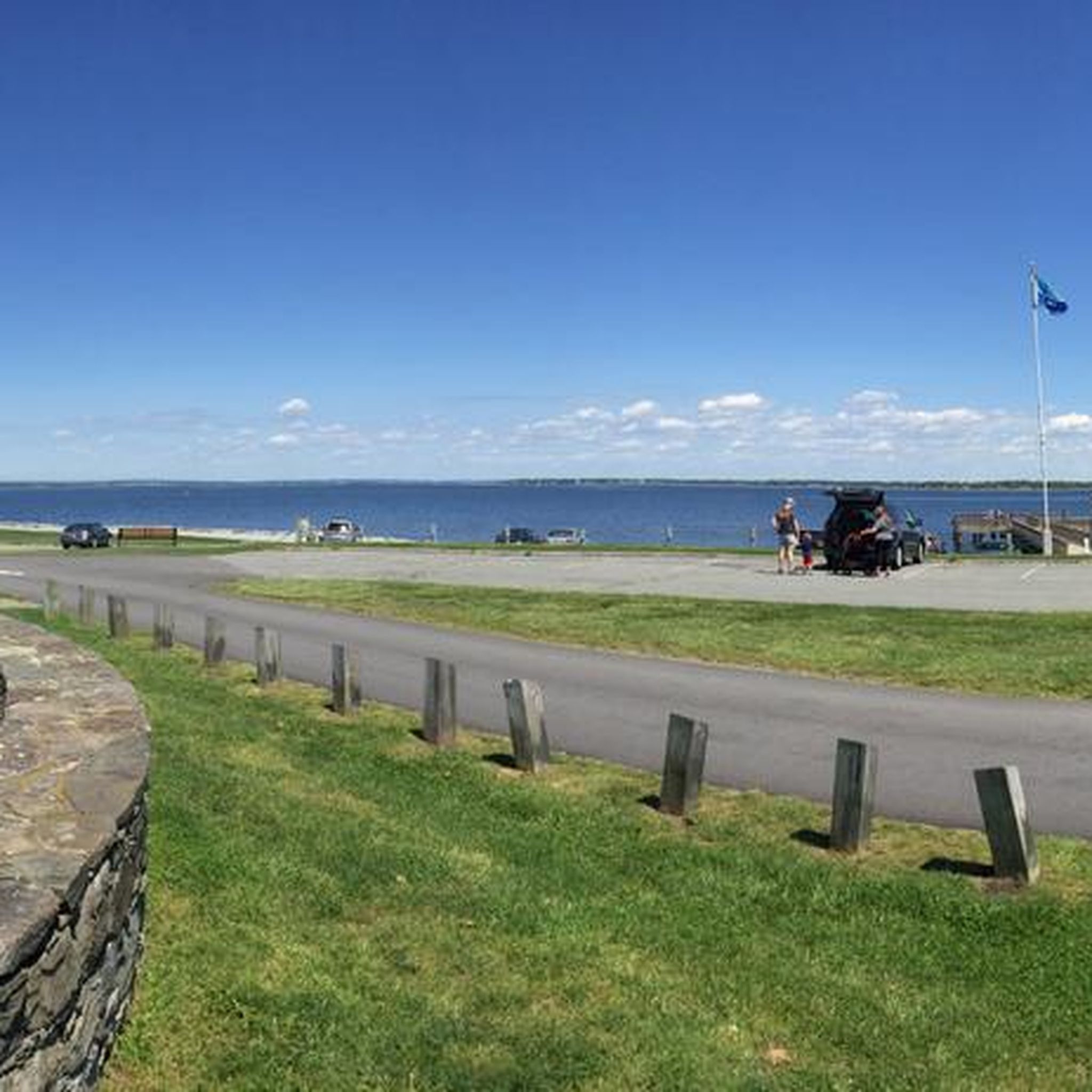
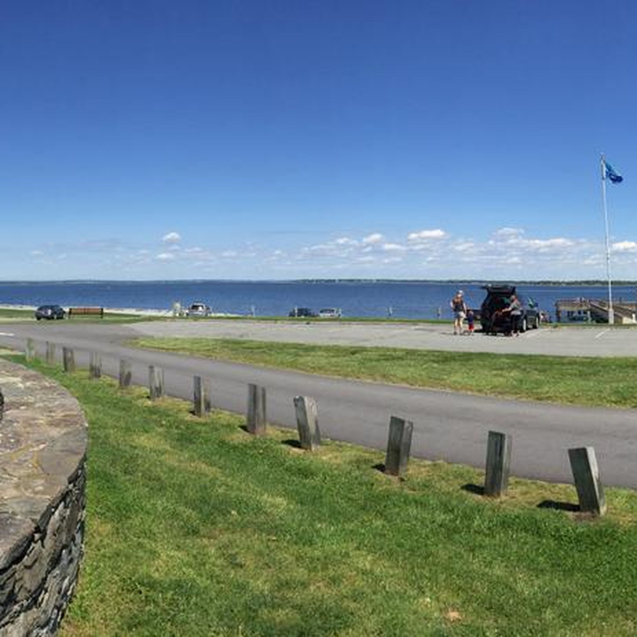
This is a popular sandy beach and recreation area that also has a number of sports facilities on offer. You have a picturesque view of Narragansett Bay from here, and it is a good place to get your classic sunset photos. There are also restrooms available.
1
0

This is the start/finish of the East Bay Bike Path, 13 miles of beautiful scenery. The path here runs so close to the water that you could almost be cycling in it. A lovely chance to get right up close to nature.
0
0

This paved trail, spanning almost 15 miles from India Point Park to Independence Park in Bristol, meanders along the Providence River. It is a highly popular route for hikers, runners, and bikers, providing a vehicle-free path.
0
0

Colt State Park is a true gem within the State Park System. With 464 acres of lawns, four miles of paved pathways, hiking trails, historic stone walls, and one of the state’s most spectacular shoreline.
0
0
Frequently Asked Questions
How many running routes are available in Colt State Park?
Colt State Park offers a wide variety of running routes, with nearly 40 different options recorded on komoot. These range from easy strolls to challenging long-distance runs, ensuring there's something for every runner.
Are there any easy or beginner-friendly running routes in Colt State Park?
Yes, Colt State Park features several easy running options, including its four miles of paved pathways that wind through the park's varied terrain. These paths are ideal for beginners or those looking for a less strenuous run. While most routes are moderate, there is at least one specifically categorized as easy on komoot.
What kind of terrain can I expect on the jogging trails in Colt State Park?
Jogging in Colt State Park offers diverse terrain. You'll find extensive paved pathways, open fields, and trails that follow the park's four miles of shoreline along Narragansett Bay, providing scenic coastal views. Some routes also feature historic stone walls and a beautiful rock bridge.
Are there any challenging running routes with significant elevation gain in Colt State Park?
For runners seeking a challenge, Colt State Park has several difficult routes. The Ferry Hill loop from Bristol is particularly notable, offering the most significant elevation gain among the park's trails, reaching 573 feet (174 meters) over its 14.0 miles. Another difficult option is the Halfmile Hill – Bristol Town Beach Pier loop from Bristol County, with 238 feet (72 meters) of elevation gain.
Can I find circular running routes in Colt State Park?
Yes, many of the running routes in Colt State Park are designed as loops, allowing you to start and finish at the same point. Examples include the Bristol Town Beach Pier – Colt State Park loop from Bristol and the East Bay Bike Path loop from Bristol, which offer convenient circular options.
What are the best natural features or viewpoints to see while running in Colt State Park?
Colt State Park is renowned for its stunning natural beauty. Runners can enjoy panoramic views of Narragansett Bay along the four miles of shoreline, especially along the western edge of the park. The park also features expansive lawns, open fields, and historic stone walls, providing picturesque scenery throughout your run.
Is Colt State Park suitable for family-friendly running or stroller-friendly routes?
Yes, Colt State Park is very family-friendly. Its four miles of paved pathways are ideal for strollers and offer a smooth surface for families running together. The open fields are also perfect for kids to play, making it a great destination for an active family outing.
Are dogs allowed on the running trails in Colt State Park?
Colt State Park is generally dog-friendly, making it a great place to run with your canine companion. It's always recommended to keep dogs on a leash and to clean up after them to ensure a pleasant experience for all park visitors.
What are the parking options for runners at Colt State Park?
Colt State Park offers ample parking facilities for visitors. There are numerous parking areas conveniently located throughout the park, providing easy access to various trailheads and running routes. Specific parking details can often be found on park maps or signage upon arrival.
How can I access Colt State Park using public transportation?
Colt State Park is accessible via public transportation, primarily through RIPTA (Rhode Island Public Transit Authority) bus routes that serve the Bristol area. It's advisable to check the current RIPTA schedules and routes that stop near Colt State Park for the most up-to-date information on public transport access.
What do other runners enjoy most about jogging in Colt State Park?
The komoot community highly rates Colt State Park for its jogging opportunities. Runners frequently praise the park's diverse landscapes, especially the refreshing coastal paths along Narragansett Bay and the well-maintained paved pathways. The variety of routes, from moderate loops to more challenging options, is also a popular highlight.
Are there any cafes or pubs near Colt State Park for a post-run refreshment?
Yes, Colt State Park is located in Bristol, Rhode Island, which offers a selection of cafes and pubs. After your run, you can find various establishments in Bristol Town Center to grab a coffee, a meal, or a refreshing drink, many just a short distance from the park.
Can I connect to longer running routes from Colt State Park?
Absolutely. Colt State Park seamlessly integrates with the East Bay Bike Path, a significant attraction for runners and cyclists. This connection allows you to access much longer routes, as the East Bay Bike Path extends from Bristol all the way to Providence, greatly expanding your running options.

Get inspired with the komoot mobile app


Explore more
Browse the best Running Trails & Routes in other regions.
