The best MTB trails in Big South Fork National River And Recreation Area
62
riders
7
rides
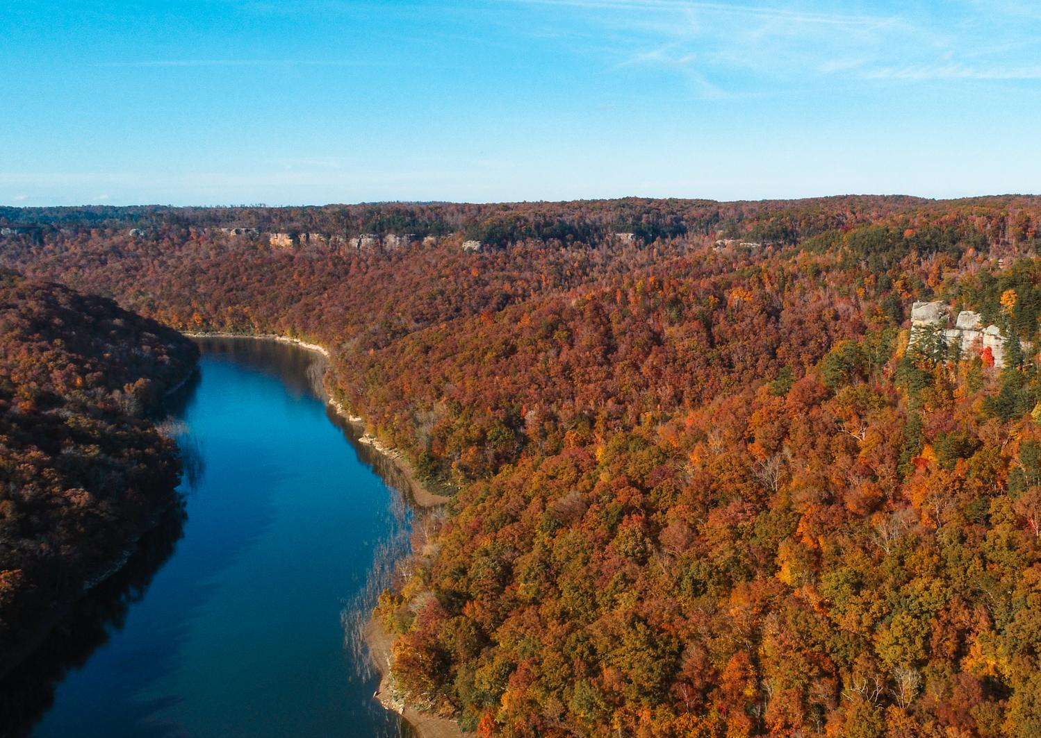
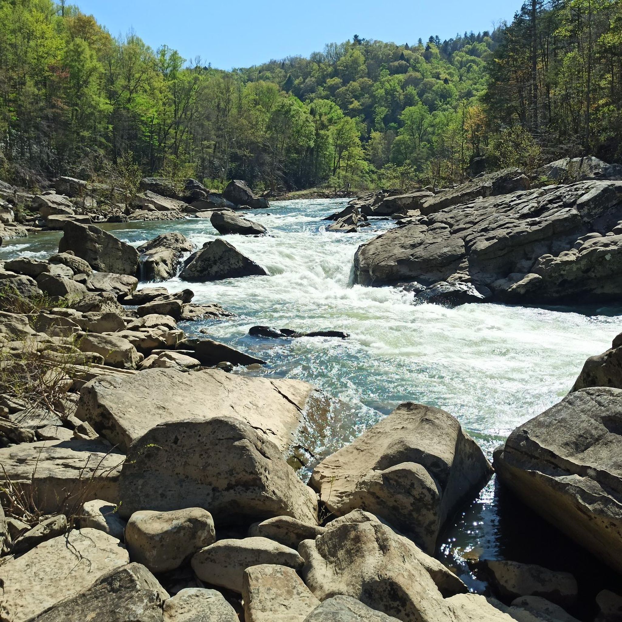
Mountain biking in Big South Fork National River And Recreation Area offers diverse terrain across 125,000 acres of the Cumberland Plateau. The region is characterized by deep river gorges, towering sandstone bluffs, and extensive forested areas. Its unique geology has created numerous rock formations and natural arches, providing varied landscapes for mountain bike trails. The area features a vast network of designated bike trails, backcountry roads, and some shared-use paths.
Best mountain bike trails in Big South Fork National River…
Last updated: July 7, 2026
21
riders
53.1km
04:50
690m
690m
Moderate mountain bike ride. Good fitness required. Suitable for all skill levels.
3
riders
10.2km
00:59
180m
180m
Easy mountain bike ride. Great for any fitness level. Suitable for all skill levels.

Sign up for free
3
riders
Easy mountain bike ride. Great for any fitness level. Suitable for all skill levels.
15
riders
Moderate mountain bike ride. Good fitness required. Suitable for all skill levels.
10
riders
17.5km
01:24
190m
190m
Easy mountain bike ride. Great for any fitness level. Suitable for all skill levels.
Get access to more routes and recommendations from other explorers.
Sign up for free
Already have an account?
Our route recommendations are based on thousands of hikes, rides, and runs completed by other people on komoot.
Start today with a free account
Your next adventure awaits.
Login or Signup
Popular around Big South Fork National River And Recreation Area
Other adventures in Big South Fork National River And Recreation Area

Tips from the Community

This rocky outcropping is warmed by the sun during the day and makes for a fantastic picnic spot with spectacular views over the Cumberland River and Angel Falls. You get more great views of the river as you descend the John Muir Trail just below the overlook.
0
0

The main campground in the Big South Fork National River and Recreation Area acts as a parking area and trailhead for a bunch of different trails and forest roads. The trail signage in Big South Fork is great, and it's easy to find your way back if you decide to deviate from your planned route. Some trails are rougher than others, but they are marked accordingly and intersect each other frequently.
0
0
The trail here is a lazy singletrack that winds its way through the woods paralleling the gravel road. The path is fairly east singletrack the whole way. This is a beautiful spot in the fall when the leaves change!
0
0
The John Muir Trail is fairly technical in places and mostly forested, but there are a few great overlooks to explore. This is certainly once of them! From here you get splendid views of the Cumberland River as it winds its way north.
0
0
The main campground in the Big South Fork National River and Recreation Area acts as a parking area and trailhead for a bunch of different trails and forest roads. The trail signage in Big South Fork is great, and it's easy to find your way back if you decide to deviate from your planned ride. Some trails are rougher than others, but they are marked accordingly and intersect each other frequently.
1
0
The Grand Gap Loop Trail has a few viewpoints, one of which being this overlook of Angel Falls. The overlook is really of the river and the river valley. You can see other cliff faces and cliff walls from this rocky outcropping.
0
0
Frequently Asked Questions
What types of mountain bike trails can I expect in Big South Fork National River And Recreation Area?
Big South Fork offers a diverse range of mountain bike trails, from smooth singletrack to gravel roads and shared-use paths. The terrain is characterized by deep river gorges, towering sandstone bluffs, and extensive forested areas, providing varied landscapes. You'll find options suitable for different skill levels, including easy loops and more challenging moderate routes.
Are there any easy mountain bike trails suitable for beginners or families?
Yes, Big South Fork has several easy trails. The Grand Gap Loop is an easy 6.3-mile (10.2 km) path that offers views along the cliffline and passes by rock shelters, making it suitable for beginner to intermediate riders. Another accessible option is the Collier Ridge, West Bandy, & Duncan Hollow Trail loop, which is 13.4 miles (21.5 km) and features a mix of singletrack and gravel roads.
What are some notable natural features or landmarks I can see while mountain biking?
The region is rich in unique geological formations. You can encounter breathtaking sandstone bluffs and deep gorges carved by the Big South Fork River. Keep an eye out for impressive rock formations like arches, mesas, and rock shelters. The spectacular Twin Arches, considered among the largest natural bridges in the world, is a must-see. You might also pass by Yahoo Falls or the Devil's Jump Overlook, offering dramatic vistas.
Are there any mountain bike trails that offer scenic viewpoints?
Many trails in Big South Fork provide stunning views. The Grand Gap Loop, for instance, offers views along the cliffline overlooking the river. The region's deep gorges and towering sandstone bluffs naturally create numerous scenic overlooks, such as the Devil's Jump Overlook and the View of Angel Falls and River Valley, which are accessible from various points within the park's extensive trail system.
Can I bring my dog on the mountain bike trails in Big South Fork?
Yes, Big South Fork National River and Recreation Area is generally dog-friendly. Leashed pets are permitted on trails, roads, and campgrounds. However, it's always a good idea to check specific trail regulations or any temporary restrictions before you go, especially for shared-use trails, to ensure a safe and enjoyable experience for everyone.
What is the best time of year to go mountain biking in Big South Fork?
The spring and fall seasons are generally considered the best times for mountain biking in Big South Fork. The weather is typically milder, and the natural scenery, with spring blooms or vibrant autumn foliage, is particularly beautiful. Summer can be hot and humid, while winter may bring colder temperatures and potential for snow or ice, which can affect trail conditions.
Are there any circular mountain bike routes available?
Yes, Big South Fork offers several excellent circular mountain bike routes. The Grand Gap Loop is a popular 6.3-mile (10.2 km) option. For a longer ride, consider the Collier Ridge, West Bandy, & Duncan Hollow Trail loop, which covers 13.4 miles (21.5 km) and provides a varied experience.
Where can I find parking for mountain biking trails in Big South Fork?
Parking is available at various access points and trailheads throughout the Big South Fork National River and Recreation Area. Many popular trails, such as those originating near Bandy Creek, have designated parking areas. It's advisable to check the specific trailhead information for your chosen route to confirm parking availability and any associated fees.
Are there any trails that pass by waterfalls?
Yes, the Big South Fork area is known for its beautiful waterfalls. While specific mountain bike trails might not lead directly to the base of every waterfall, the extensive trail network means you can often find routes that offer views of or access to areas near waterfalls. For example, Yahoo Falls is a prominent feature in the region, and hiking trails in the park, such as the Yahoo Falls Loop, are popular for viewing them. Some mountain bike routes may pass through areas where smaller cascades are visible, especially after rainfall.
What is the overall difficulty level of mountain biking in Big South Fork?
Big South Fork offers a range of difficulty levels, catering to various riders. You'll find a good mix of easy and moderate trails. Approximately half of the routes in this guide are rated as easy, while the other half are moderate. There are no trails rated as difficult in this selection, making it accessible for many skill levels, from beginners to experienced riders looking for enjoyable, scenic routes.
What are some longer mountain bike routes for more experienced riders?
For riders seeking a longer and more comprehensive experience, the Big South Fork: IMBA Loop is a moderate 33.0-mile (53.1 km) trail that offers a thorough exploration of the park's features. Another moderate option is the Bandy Creek Campground – Bandy Creek Campground loop from Scott State Forest, which spans 36.6 km.
Are there any historical sites or cultural attractions accessible by mountain bike?
While the primary focus is natural beauty, the Big South Fork area does have historical significance. The Blue Heron Mining Community, a preserved and interpreted historic mining community, offers a glimpse into the area's past. While not directly on a mountain bike trail, it's an attraction within the park that can be visited, often requiring a short detour or a separate visit.
Is public transport available to access the mountain bike trails?
Public transport options directly into and within the Big South Fork National River and Recreation Area are very limited. The park is primarily accessed by private vehicle. Visitors typically drive to trailheads or campgrounds. It's recommended to plan your trip assuming you will need your own transportation to reach the mountain biking areas.
Most popular routes in Big South Fork National River And Recreation Area
Most popular attractions in Big South Fork National River And Recreation Area

Get inspired with the komoot mobile app


Explore more
Browse the best MTB trails in other regions.
