The best cycling routes in Mountain Bridge Wilderness Area
5.0
(3)
468
riders
37
rides
Touring cycling in Mountain Bridge Wilderness Area offers routes through the Blue Ridge Mountains, characterized by significant elevation changes and diverse ecosystems. The region features granite outcroppings and deep mountain coves, with elevations ranging from 1,400 feet to 3,200 feet. Roads in the surrounding area provide challenging climbs and panoramic views, often on state roads and some unpaved sections. The Middle Saluda River, a designated scenic river, also flows through parts of the wilderness.
Best touring cycling routes in Mountain…
Last updated: July 2, 2026
18
riders
71.4km
05:47
900m
900m
Hard bike ride. Very good fitness required. Mostly paved surfaces. Suitable for all skill levels.
16
riders
25.5km
02:32
410m
410m
Moderate bike ride. Good fitness required. Mostly paved surfaces. Suitable for all skill levels.

Sign up for free
13
riders
25.6km
02:38
450m
450m
Moderate bike ride. Good fitness required. Mostly paved surfaces. Suitable for all skill levels.
64
riders
13.5km
01:29
340m
340m
The Burnt Mountain – Cedar Rock Summit loop from Big Rock offers a truly unique and challenging mountain biking experience, despite being listed as a touring cycling route. You'll navigate…
6
riders
4.79km
00:30
90m
90m
Easy bike ride. Great for any fitness level. Mostly paved surfaces. Suitable for all skill levels.
Get access to more routes and recommendations from other explorers.
Sign up for free
Already have an account?
Our route recommendations are based on thousands of hikes, rides, and runs completed by other people on komoot.
Start today with a free account
Your next adventure awaits.
Login or Signup

Tips from the Community

The Covered Bridge in DuPont State Forest spans the Little River atop High Falls and is accessible via a short, gently-graded trail just 0.5 miles from the High Falls access area. It is a popular spot in the forest and often has visitors taking photos in front of the bridge.
1
0

Arriving at the base of the falls may convince many that these are the 'Bridal Veil' but they are further up the rocks! Be very careful as the rocks get very slick and I have ended up on my butt more than once - even with walking poles. Be warned. However, the view at the top of the real falls is well worthwhile.
0
0
Old covered bridge passing over fast flow water. Worth pausing and taking in the noise of rushing water.
0
0

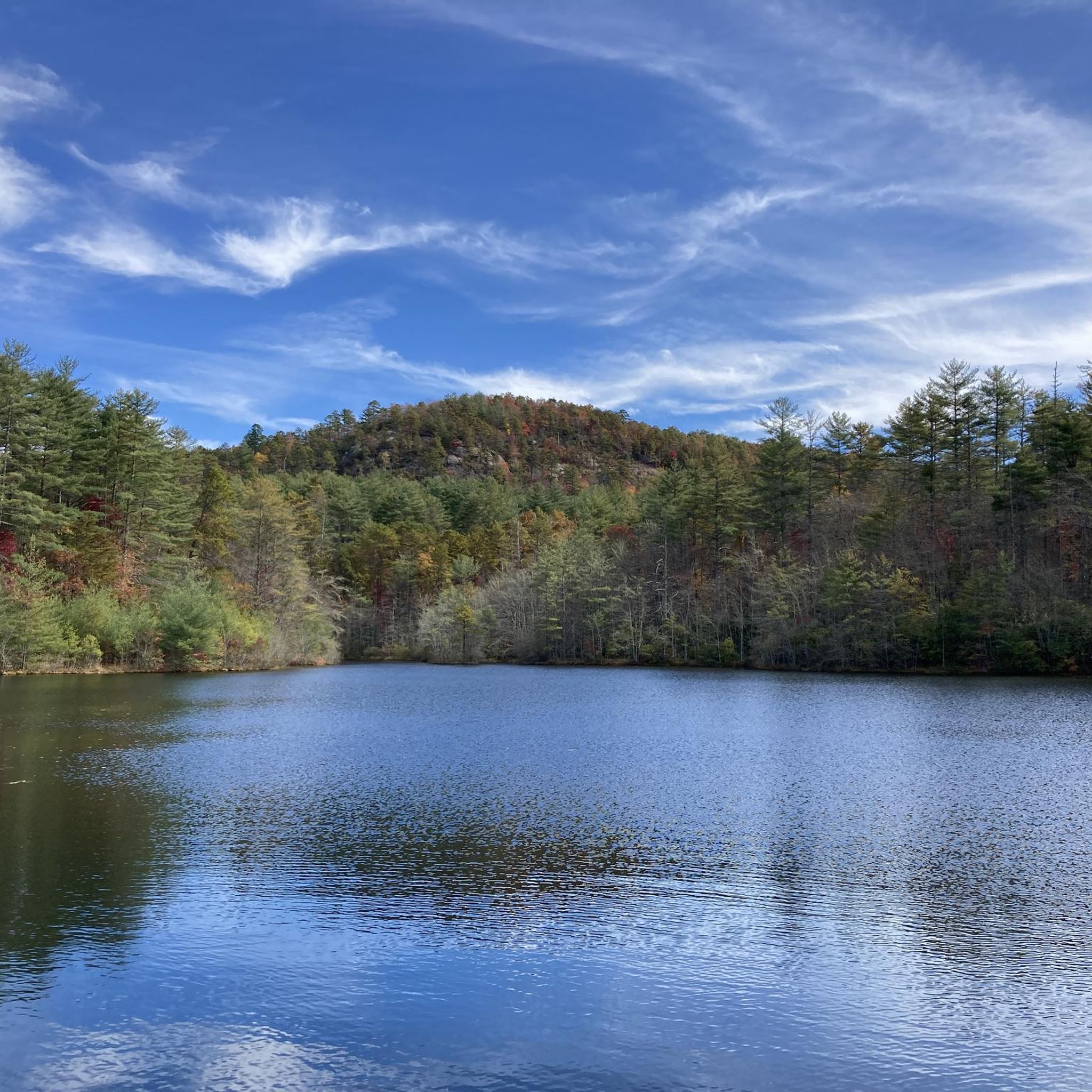
Although small, Reasonover Lake is a quaint spot to pass by while on a ride in Transylvania County.
0
0

Fawn Lake is a popular swimming hole in the summer and offers beautiful views. This area has a diving dock, a gazebo, and picnic tables.
0
0

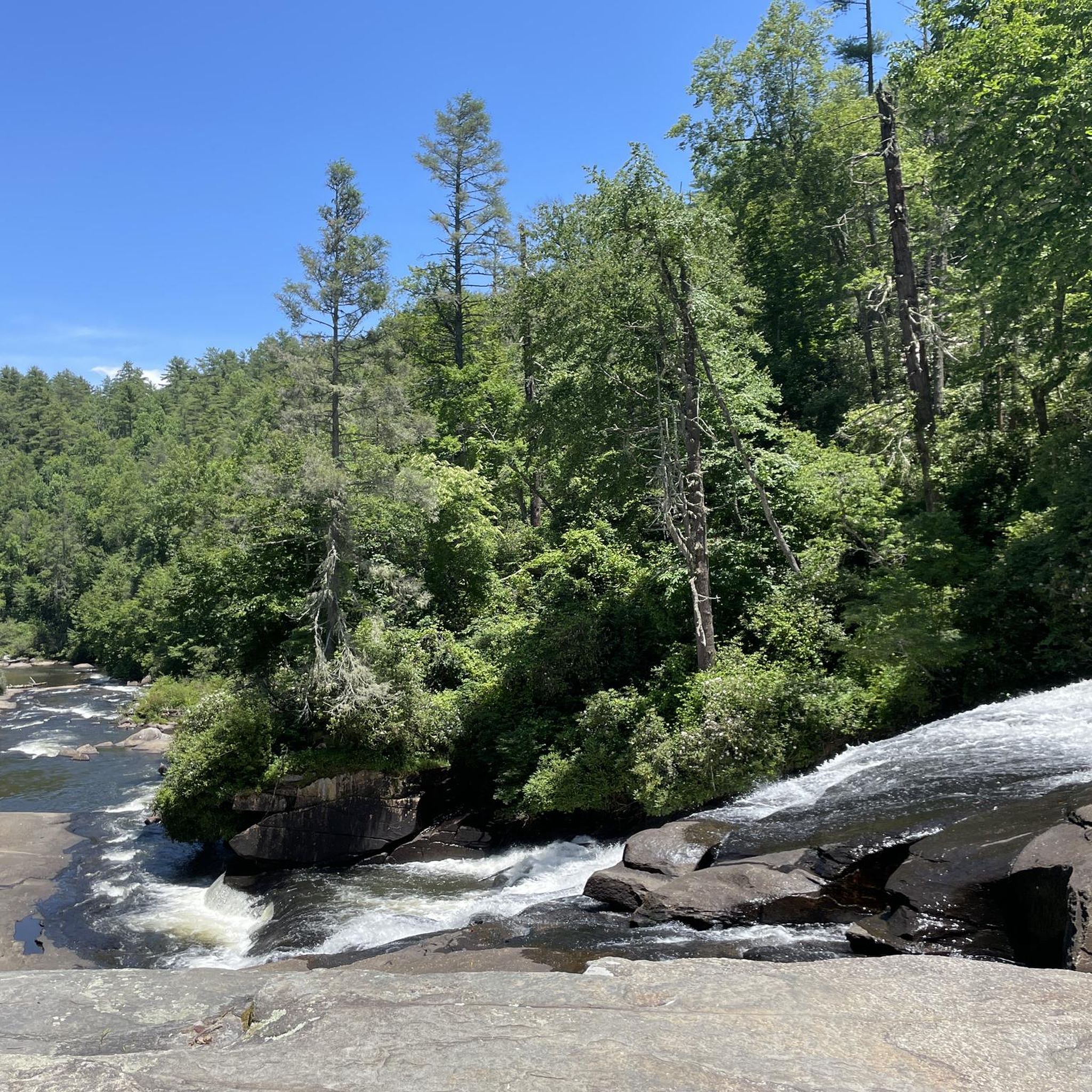
This is the point where Cascade Lake and Little River converge, creating an impressive waterfall. It's a great spot to take a break and enjoy the sights and sounds of the cascading water.
1
0

There is a pretty sweet view of Lake Julia from here where it feeds into Reasonover Creek. There is a lot of great singletrack next to the water, and Reasonover Creek Trail is probably the most popular. This trail stretches a lot further across DuPont State Recreational Forest.
0
0

Burnt Mountain rises at 3,000 feet and provides beautiful views of the surrounding mountainous landscape. The walk from the road is relatively gentle and welcomes hikers of all levels. This specific section of the forest is frequented by cyclists, so be mindful of their presence when traversing the path.
0
0
Frequently Asked Questions
How many touring cycling routes are available in Mountain Bridge Wilderness Area?
There are over 30 touring cycling routes available in the Mountain Bridge Wilderness Area, catering to various skill levels. You'll find options ranging from easy paths to very challenging climbs.
What kind of terrain can I expect on touring cycling routes in this area?
Touring cycling routes in the Mountain Bridge Wilderness Area are characterized by significant elevation changes, as they traverse the Blue Ridge Mountains. You can expect challenging climbs on state roads, some of which may include unpaved sections. The region features granite outcroppings and deep mountain coves, with elevations ranging from 1,400 feet to 3,200 feet.
Are there easy touring cycling routes suitable for beginners?
Yes, there are a few easy touring cycling routes available. For instance, the Bike loop from Big Rock is a shorter, easier option, covering about 3 miles (4.8 km) with less elevation gain, making it suitable for those looking for a less strenuous ride.
Can I see waterfalls along the touring cycling routes?
While the wilderness area itself is known for numerous waterfalls, some touring cycling routes in the surrounding region offer views or access to them. For example, the Lake Dense – Bridal Veil Falls loop from Mine Mountain offers views of natural features like waterfalls. Notable waterfalls in the broader area include Moonshine Falls, Mashbox Falls, and Confusion Falls.
Are there scenic viewpoints or overlooks on the cycling routes?
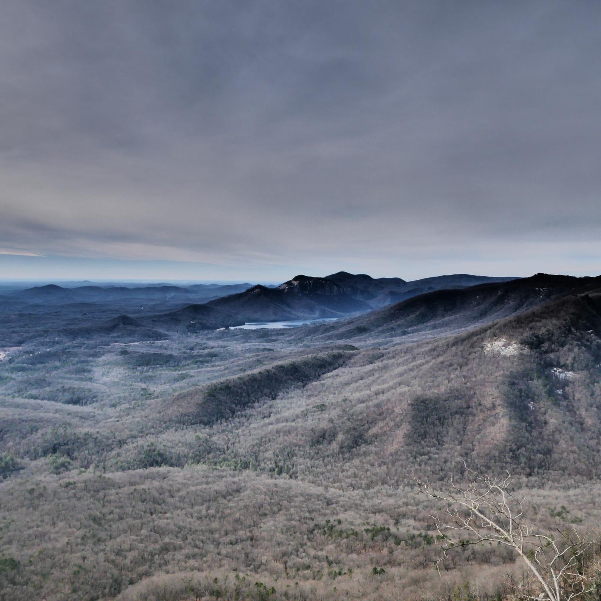
Yes, the region is known for its panoramic views. Caesars Head State Park offers unbeatable views of the Blue Ridge Escarpment from its 3,200-foot overlook, which can be part of challenging road cycling routes. Another highlight is Caesars Head itself, a prominent granitic gneiss rock formation.
What natural features can I expect to encounter while cycling?
Beyond the Blue Ridge Mountain vistas and waterfalls, you'll find diverse ecosystems with over 400 plant species. The Middle Saluda River, South Carolina's first designated scenic river, flows through parts of the wilderness, offering picturesque riverside sections. You might also encounter geological formations like the granitic gneiss of Caesars Head.
What do other cyclists say about touring cycling in Mountain Bridge Wilderness Area?
The touring cycling routes in Mountain Bridge Wilderness Area are highly rated by the komoot community, with an average score of 5.0 stars from more than 3 reviews. Over 500 touring cyclists have used komoot to explore the varied and challenging terrain, often praising the Blue Ridge Mountain vistas and cascading waterfalls.
Are there any circular touring cycling routes in the area?
Yes, many of the touring cycling routes in the Mountain Bridge Wilderness Area are designed as loops. Examples include the challenging Cascade Lake – Reasonover Lake loop from Green River, the moderate Lake Dense – Bridal Veil Falls loop from Mine Mountain, and the Burnt Mountain – Cedar Rock Summit loop from Big Rock.
What is the best time of year for touring cycling in Mountain Bridge Wilderness Area?
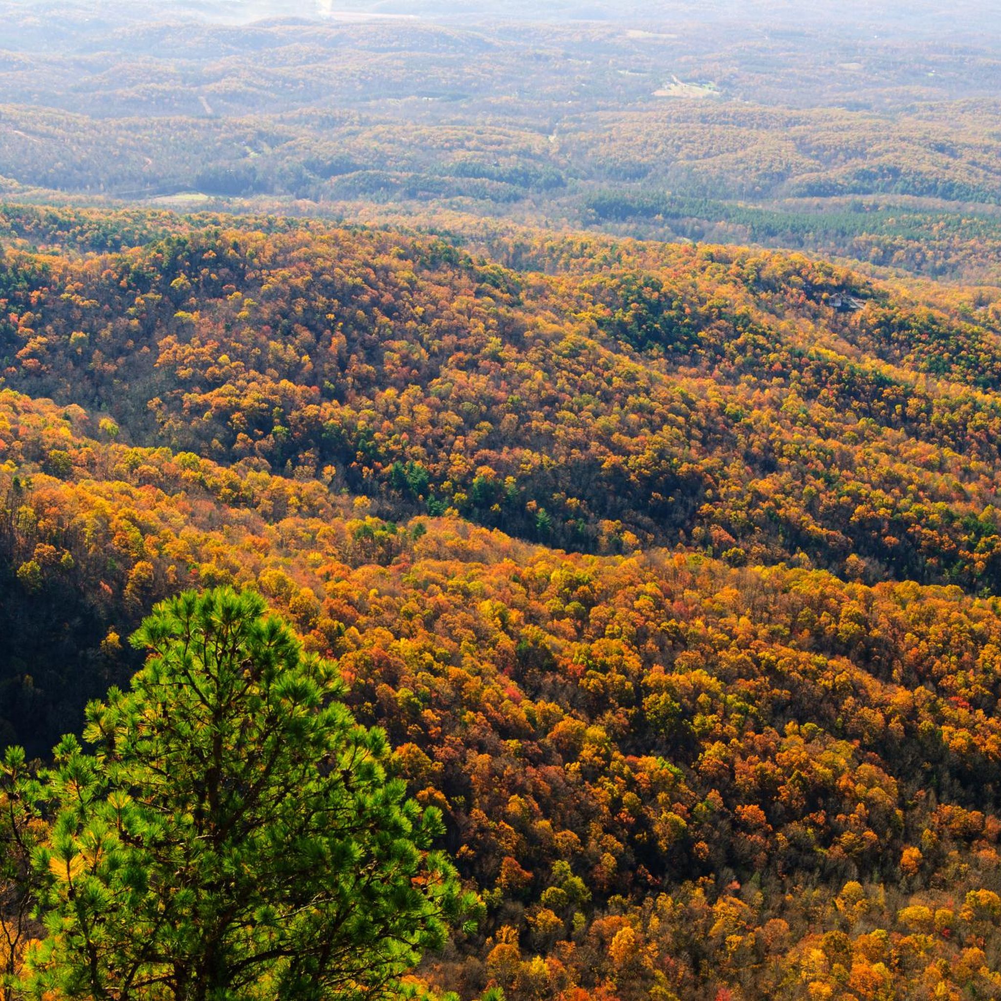
While not explicitly stated for cycling, the region is known for its natural beauty year-round. Fall is particularly notable for raptor migration and vibrant foliage, offering stunning views. However, given the significant elevation changes and potential for unpaved sections, spring and fall generally offer more moderate temperatures for challenging rides.
Are there any family-friendly touring cycling options?
For families or those seeking a less demanding ride, there are a few easy routes. The Bike loop from Big Rock is a good example of an easier option, providing a shorter distance and less elevation gain suitable for a more relaxed outing.
Where can I find more information about the Mountain Bridge Wilderness Area?
For additional information about the Mountain Bridge Wilderness Area and its offerings, you can visit the official tourism site for the region: visitgreenvillesc.com.
Most popular routes in Mountain Bridge Wilderness Area
Most popular attractions in Mountain Bridge Wilderness Area

Get inspired with the komoot mobile app


Explore more
Browse the best Cycling routes in other regions.
