Arthur R. Marshall Loxahatchee National Wildlife Refuge
Arthur R. Marshall Loxahatchee National Wildlife Refuge
The best road cycling routes in Arthur R. Marshall Loxahatchee National Wildlife Refuge
5.0
(1)
74
riders
9
rides
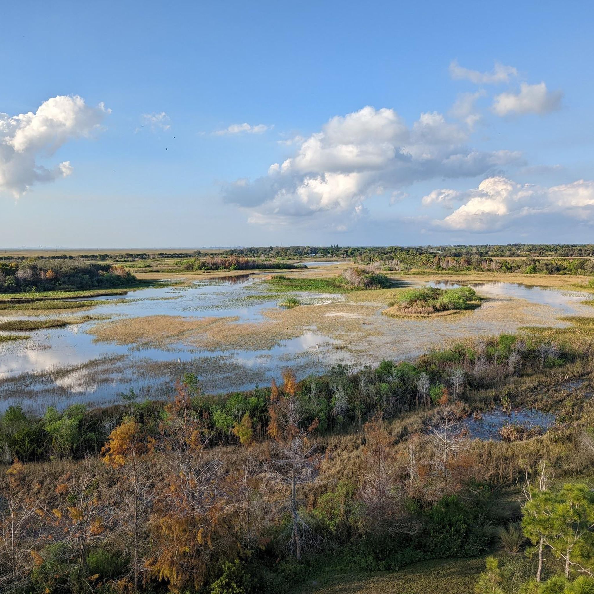
Road cycling in Arthur R. Marshall Loxahatchee National Wildlife Refuge is characterized by its expansive Everglades landscape, featuring a network of levee trails. These routes offer long, flat rides with minimal elevation gain, traversing wetlands, sawgrass prairies, and canals. The terrain primarily consists of hard-packed sand, shell rock, or gravel, which can be challenging for traditional road bikes. Cyclists can explore areas with diverse ecosystems, including wet prairies and tree islands.
Best road cycling routes in Arthur R. Marshall Loxahatchee National Wildlife Refuge
- The most popular road cycling route is Boca West loop Via West Delray, a 31.6 miles (50.9 km) trail that takes 2 hours 26 minutes to complete. This route offers views of the surrounding flat landscape.
- Another top favourite among local road cyclists is Holmberg Road Natural Area loop from Fran Reich Preserve, an easy 19.0 miles (30.6 km) path. This route winds through natural areas with minimal elevation changes.
- Local road cyclists also love the Regional Park Drive loop from Whisper Walk, a 13.9 miles (22.3 km) trail leading through developed areas and green spaces, often completed in about 55 minutes.
- Road cycling in Arthur R. Marshall Loxahatchee National Wildlife Refuge is defined by its levee system, wetlands, and sawgrass prairies. The network offers options for easy, moderate, and difficult ability levels.
- The routes in Arthur R. Marshall Loxahatchee National Wildlife Refuge are highly rated by the komoot community with an average score of 5.0 stars from over 1 review. More than 50 road cyclists have used komoot to explore Arthur R. Marshall Loxahatchee National Wildlife Refuge's varied terrain.
Last updated: July 13, 2026
50.9km
02:26
10m
10m
This moderate 31.6-mile (50.9 km) road cycling loop via West Delray offers canal views, tropical vegetation, and local wildlife.
12
riders
30.6km
01:10
10m
10m
The Holmberg Road Natural Area loop from Fran Reich Preserve offers a unique opportunity to immerse yourself in Florida's natural beauty, though it's crucial to bring the right gear. This easy 19.0-mile (30.6 km) route, with a negligible 48 feet (14 metres) of elevation gain, is best suited for mountain or gravel bikes due to its gravel and doubletrack surfaces. You'll traverse flat terrain, passing through diverse upland and wetland habitats, with man-made lakes and canals providing scenic backdrops.
When planning your visit, aim for an early morning start to enjoy the calmest conditions before the wind picks up. The Fran Reich Preserve serves as a convenient access point for this loop, offering a chance to observe wildlife along miles of trails. While the ride is rated easy in terms of physical exertion, the challenging gravel terrain means traditional road bikes will struggle, so choose your equipment wisely.
This area is a haven for wildlife enthusiasts, boasting sightings of deer, bobcats, alligators, and a wide array of birds, including wading birds and raptors. Beyond cycling, the preserve's man-made lakes and canals are popular for recreational freshwater fishing. It's a fantastic spot for experiencing the natural environment of Parkland, Florida, especially if you're looking for Holmberg Road Natural Area cycling routes that prioritize nature observation over smooth pavement.

Sign up for free
10
riders
20.6km
00:54
10m
10m
Easy road ride. Great for any fitness level. Mostly well-paved surfaces and easy to ride.
43.0km
01:44
10m
10m
The Meadows Park via West Copans Road loop is an easy road cycling route that takes you through the flat, paved streets of South Florida. Starting from Meadows Park, you'll pedal through a blend of urban and suburban scenery, catching glimpses of canals and green spaces amidst residential and commercial areas. This 26.7-mile (43.0 km) loop has a negligible 44 feet (14 metres) of elevation gain, making it an ideal choice for beginners or those seeking a relaxed ride, typically completed in about 1 hour and 44 minutes.
For the best experience on this Pompano Beach cycling route, plan your visit during the cooler, drier months between November and April. Meadows Park offers convenient parking, making it an easy access point for your ride. Be mindful of sharing the road with vehicle traffic and potential wind, which are the main considerations on this otherwise straightforward route.
This loop is a great option if you're looking for road cycling routes near Meadows Park Boca Raton that are suitable for all skill levels. It provides a consistent, well-maintained surface for your bike, allowing you to focus on your pace and enjoy the local surroundings. While not a consistently scenic trail in the traditional sense, it offers a reliable and accessible way to get some miles in.
112km
08:03
10m
10m
The Arthur R. Marshall Path via State Road 7 loop offers an immersive journey through the northern Everglades, where you'll cycle past vast sawgrass prairies, serene wetlands, and winding canals. While the terrain is largely flat with only 31 feet (9 metres) of elevation gain, don't mistake it for an easy ride; the 69.3-mile (111.5 km) route is predominantly unpaved, featuring crushed gravel, shell rock, and hard-packed sand, making it a difficult 8-hour and 3-minute adventure.
Planning your visit requires careful consideration, as the trail offers almost no shade, necessitating ample water and sun protection. While entrance fees to the Arthur R. Marshall Loxahatchee National Wildlife Refuge are waived for cyclists, you'll be sharing multi-use paths. Crucially, this route is generally unsuitable for traditional road bikes; a mountain, hybrid, or gravel bike is highly recommended for navigating the challenging surfaces comfortably.
This unique route within the Arthur R. Marshall Loxahatchee National Wildlife Refuge provides an unparalleled opportunity for wildlife spotting, with chances to see alligators, turtles, deer, and a diverse array of bird species in their natural habitat. The flat, unpaved levee roads offer a distinct cycling experience, setting it apart from typical road cycling loops and providing a deep dive into Florida's iconic ecosystem.
Get access to more routes and recommendations from other explorers.
Sign up for free
Already have an account?
Our route recommendations are based on thousands of hikes, rides, and runs completed by other people on komoot.
Start today with a free account
Your next adventure awaits.
Login or Signup
Popular around Arthur R. Marshall Loxahatchee National Wildlife Refuge
Tips from the Community

Regional Park Drive is a great, smooth stretch of road to escape some traffic. The park has some drinking fountains along the way and you can spot some gators in the ponds sprinkled throughout the park.
0
0

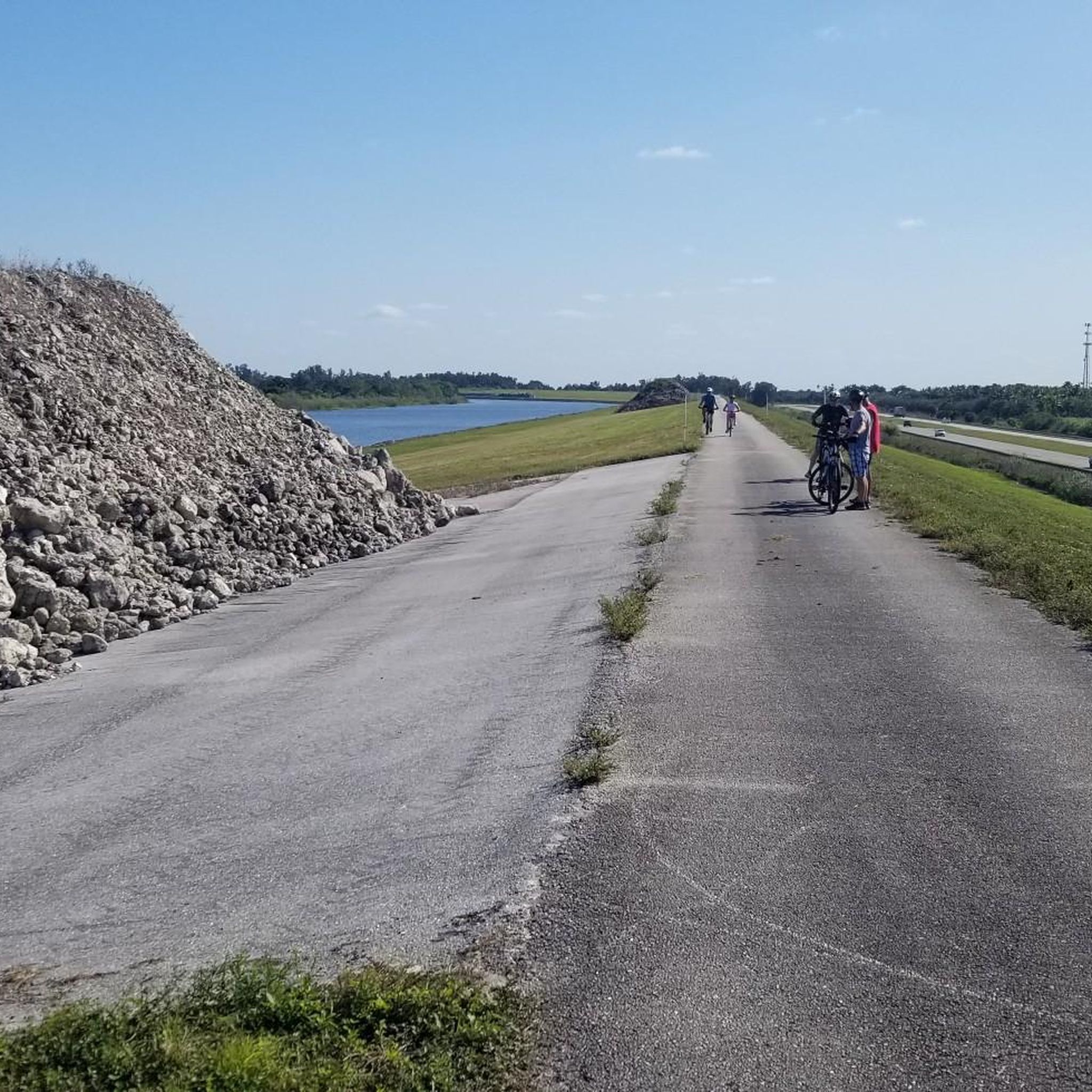
Arthur R. Marshall Loxahatchee National Wildlife Refuge is located seven miles west of the city of Boynton Beach in Palm Beach County, Florida. All refuge visitors are required to pay an entrance fee with the following exceptions: Entrance fees are waived for visitors entering the refuge on foot, bicycle, or horseback; or if the visitor is in possession of a current and signed Federal Duck Stamp or America the Beautiful Interagency Pass. The initial 5km is a paved road, after is nice gravel.
0
0
Riding through the park offers a nice detour from the main road. Since these roads have a bit less traffic they would be a good spot to do some east laps, or would be pretty good for some sprint-ervals! The Japanese Gardens campus has a cafe you could stop at after your ride to cool down.
0
0
Meadows Park is a nearly 13 acre park centrally located in Boca Raton just east of Boca Raton Middle School. Set next to a canal, it has a plenty of parking if you wanted to start your ride from here. This is also great place to regroup on a ride as it is off the main road, has large oak trees for some shade, and there is a drinking fountain next to the baseball field to top off the bottles. Non-Residents are allowed to use the pool, with children and adult fees being $4/$8.
0
0
Meadows Park is a nearly 13 acre park centrally located in Boca Raton just east of Boca Raton Middle School. Set next to a canal, it has a plenty of parking and many shade trees. Non-Residents are allowed to use the pool with Children and Adult fees being $4/$8.
0
0
South County Regional Park built in 2005 on swamp land offers an array of land and aquatic activities. The treelined roads offer a great place to escape from the sun for a moment, and escape from traffic. Be careful around the water with pets and small children as alligators are present.
0
0
Frequently Asked Questions
How many road cycling routes are available in Arthur R. Marshall Loxahatchee National Wildlife Refuge?
There are 9 road cycling routes available in the Arthur R. Marshall Loxahatchee National Wildlife Refuge. These routes cater to various skill levels, including 6 easy, 2 moderate, and 1 difficult option.
What is the typical terrain like for road cycling in the refuge?
The terrain primarily consists of hard-packed sand, shell rock, or gravel along the levee system. While some sections may be well-paved, many trails are unpaved, which can be challenging for traditional road bikes with narrow tires. The routes offer long, flat rides with minimal elevation gain, traversing wetlands and sawgrass prairies.
Are e-bikes permitted on the cycling trails in the refuge?
Yes, e-bikes are permitted on any refuge road or trail where traditional bicycles are allowed. This provides an excellent option for exploring the extensive network of trails.
What kind of wildlife can I expect to see while cycling?
The refuge is rich in wildlife. Cyclists frequently spot American alligators sunning themselves on the levees, and it's a haven for over 250 species of birds, including wading birds and migratory waterfowl. Other common sightings include turtles, frogs, butterflies, and deer. Remember to maintain a respectful distance from all wildlife.
What should I consider bringing for a road cycling trip in the refuge?
Given the minimal shade along most levee routes, it is highly recommended to bring plenty of water, wear a hat, and use sunscreen. Being prepared for exposure to the elements will ensure a more comfortable ride.
Are there any specific viewpoints or natural features to look out for?
The levee trails offer panoramic views of the surrounding wetlands and canals, with expansive sawgrass prairies and diverse ecosystems. You can also visit the Observation Tower for elevated perspectives of the refuge's landscape.
Can I explore the Cypress Swamp by bike?
While the refuge features the largest intact cypress swamp in the Eastern Everglades, bikes are not permitted on the Cypress Swamp Boardwalk. This half-mile trail is specifically for hikers to experience the beautiful cypress forest.
Are there any challenging road cycling routes for experienced riders?
Yes, for experienced riders seeking a longer challenge, the Arthur R. Marshall Path via State Road 7 loop is a difficult 69.3-mile (111.5 km) route. This extensive loop offers a significant endurance test through the region.
Are there any loop trails for road cycling?
Yes, many routes in the refuge are designed as loops. For example, the Boca West loop Via West Delray is a 31.6-mile loop, and the Holmberg Road Natural Area loop from Fran Reich Preserve is an easy 19.0-mile option.
What do other road cyclists enjoy the most about road cycling in Arthur R. Marshall Loxahatchee National Wildlife Refuge?
The area is highly rated by the komoot community, with an average score of 5.0 stars. Reviewers often praise the unique experience of cycling through the expansive Everglades landscape, the opportunities for wildlife viewing, and the long, flat rides that are accessible for various fitness levels.
What is the best time of year to go road cycling in the refuge?
The cooler, drier months from November to April are generally considered the best time for cycling. During these months, the weather is more pleasant, and there are fewer mosquitoes. However, be prepared for sun exposure as shade is limited year-round.
Are there any easy road cycling routes suitable for a relaxed ride?
Absolutely. For a relaxed ride, consider the Regional Park Drive loop from Whisper Walk, an easy 13.9-mile (22.3 km) trail that takes about 55 minutes to complete. Another easy option is the Meadows Park via West Copans Road loop, which is 26.7 miles (43 km).
Most popular routes in Arthur R. Marshall Loxahatchee National Wildlife Refuge
Most popular attractions in Arthur R. Marshall Loxahatchee National Wildlife Refuge

Get inspired with the komoot mobile app


Explore more
Browse the best Road cycling routes in other regions.
