The best walks and hikes in Reynolds Falls Nature Recreation Area
4.9
(349)
3,554
hikers
43
hikes
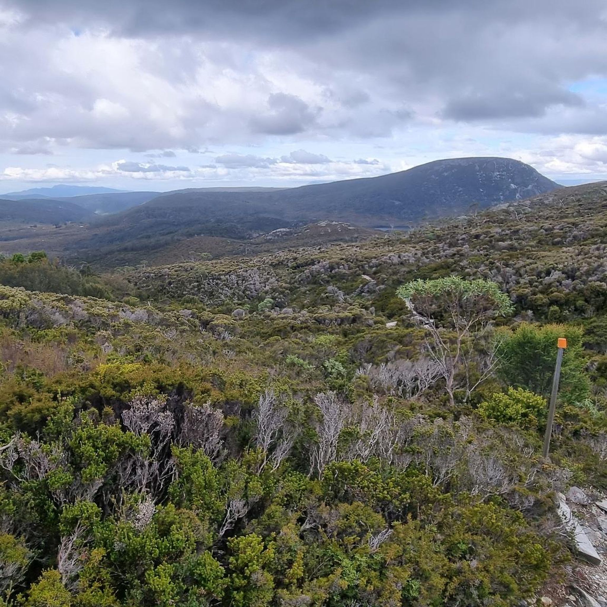
Hiking in Reynolds Falls Nature Recreation Area offers diverse trails through rugged wilderness in Tasmania's West Coast. The region features ancient myrtle and temperate rainforests, home to King Billy Pines, alongside expansive alpine heath and buttongrass plains. Water features include the eponymous Reynolds Falls, glacial lakes like Dove Lake, and serene streams. The landscape is characterized by varied terrain, including rocky sections and significant elevation changes.
Best hiking trails in Reynolds Falls Nature Recreation Area
- The most popular hiking route…
Last updated: July 1, 2026
4.5
(2)
17
hikers
1.45km
00:23
20m
20m
Easy hike. Great for any fitness level. Easily-accessible paths. Suitable for all skill levels.
4.7
(9)
70
hikers
6.19km
01:48
140m
140m
Moderate hike. Great for any fitness level. Mostly accessible paths. Sure-footedness required.

Sign up for free
5.0
(15)
81
hikers
19.9km
05:35
390m
390m
Hard hike. Very good fitness required. Easily-accessible paths. Suitable for all skill levels.
5.0
(6)
66
hikers
3.70km
01:05
100m
100m
Easy hike. Great for any fitness level. Easily-accessible paths. Suitable for all skill levels.
5.0
(2)
32
hikers
Moderate hike. Good fitness required. Easily-accessible paths. Suitable for all skill levels.
Get access to more routes and recommendations from other explorers.
Sign up for free
Already have an account?
Our route recommendations are based on thousands of hikes, rides, and runs completed by other people on komoot.
Start today with a free account
Your next adventure awaits.
Login or Signup
Popular around Reynolds Falls Nature Recreation Area
Tips from the Community

A crushed gravel path leads down from the carpark around the edge of the pond by the lodge. Catch and release fishing is allowed.
0
0
This has been rated one of the best short walks in Tasmania, and you are likely to see a lot of local wildlife as you explore the forest trail. The path is easy and suitable for all ability levels.
0
0

Crater Lake is a small, picturesque glacial lake nestled beneath Cradle Mountain, surrounded by steep slopes and alpine vegetation. A well-formed walking track leads to the lake from several nearby routes, offering elevated views over the water and surrounding peaks. Its sheltered setting and reflective surface make it a lovely spot to pause and take in the scenery for anyone exploring this beautiful area.
0
0
Overland Track at Ronny Creek marks the northern trailhead of Tasmania’s iconic long-distance walk, set within Cradle Mountain–Lake St Clair National Park. Beginning across button grass plains and boardwalks, this section offers immediate views of Cradle Mountain and plenty of wildlife sightings, including wombats. It's a well-defined and easy start before the track climbs toward Marion’s Lookout and the alpine plateau.
0
0
Lake Lilla is a small, serene alpine lake surrounded by forest and open heathland. The lake reflects the nearby peaks on calm days, creating a peaceful, photogenic spot along the Dove Lake circuit. It’s a quiet place to pause and enjoy the natural beauty away from the busier main lookouts.
0
0


Frequently Asked Questions
How many hiking trails are available in Reynolds Falls Nature Recreation Area?
There are over 40 hiking trails in Reynolds Falls Nature Recreation Area, catering to a wide range of abilities from easy walks to challenging multi-day treks. The komoot community has explored these routes over 3600 times, giving them an average rating of 4.9 stars.
What kind of landscapes and natural features can I expect to see while hiking?
Hikers can expect to traverse diverse landscapes, including ancient myrtle forests and lush temperate rainforests, home to ancient King Billy Pines. The area also features expansive alpine heath and buttongrass plains, such as the Speeler Plains, offering open vistas. You'll encounter significant water features like Reynolds Falls, glacial lakes such as Dove Lake, and serene streams like Fleece Creek and Tumbling Creek.
Are there any waterfalls to see in the area?
Yes, the eponymous Reynolds Falls is a central attraction, particularly stunning after rain. You can also visit Pencil Pine Falls. For an easy loop that includes Pencil Pine Falls, consider the Pencil Pine Falls loop from Pencil Pine Falls, which is 3.7 km long and takes about 1 hour 5 minutes.
Are there family-friendly hiking options in Reynolds Falls Nature Recreation Area?
Yes, there are several easier walks suitable for families. Options include short loops like the Pencil Pine Falls loop from Pencil Pine Falls. The King Billy Track and Waldheim Forest Walk, located within the grounds of Cradle Mountain Lodge, are also fairly easy and allow exploration of rainforest and ancient King Billy Pines.
What are some notable viewpoints or landmarks in the area?
Many trails offer spectacular views of Cradle Mountain, especially from around Dove Lake. The Dove Lake Circuit itself provides diverse scenery including buttongrass plains, alpine heath, and temperate rainforest. For a route with Cradle Mountain views, try the View of Cradle Mountain – Ronny Creek Boardwalk loop from Pencil Pine Falls, a moderate 12.5 km path.
What is the best time of year to visit Reynolds Falls Nature Recreation Area for hiking?
The area offers beauty year-round, but conditions vary. Spring and autumn generally offer pleasant temperatures and vibrant scenery. Summer is popular, but alpine weather can change rapidly. Winter brings colder temperatures and potential snow, requiring appropriate gear. Rain can enhance the beauty of the falls but also make trails slippery, so always check weather conditions before heading out.
Are there any circular hiking routes available?
Yes, many trails in the area are circular. A popular moderate option is the Pencil Pine Falls – Cradle Valley Boardwalk loop from Pencil Pine Falls, which is 6.2 km long. For a longer, more challenging loop around a significant lake, consider the Lake Lilla – Dove Lake loop from Pencil Pine Falls.
What should I bring for a hike in Reynolds Falls Nature Recreation Area?
Given the varied terrain and changeable alpine weather, it's essential to be prepared. We recommend wearing sturdy hiking shoes, bringing a camera, packing a picnic, and carrying plenty of water. Always be prepared for cold, wet, and windy conditions, regardless of the season, by bringing appropriate layers and rain gear.
What is the difficulty level of trails in the area?
Reynolds Falls Nature Recreation Area offers a range of difficulties. There are 16 easy trails, 16 moderate trails, and 10 difficult trails. The full Reynolds Falls hike, for example, is a challenging 25 km, Grade 5 trail that can take 2-3 days, suitable for experienced bushwalkers. Easier walks like the King Billy Track are also available.
Is there parking available at the trailheads?
Parking is generally available at key access points, such as near Pencil Pine Falls, which serves as a starting point for several routes. Specific parking information for individual trailheads is usually provided locally or within detailed route descriptions.
What do other hikers enjoy most about hiking in Reynolds Falls Nature Recreation Area?
The area is highly rated by the komoot community, with an average score of 4.9 stars from over 340 reviews. Reviewers often praise the stunning natural beauty, the diversity of landscapes from ancient forests to alpine plains, and the well-maintained boardwalk sections that make exploring accessible.
Are there any multi-day hiking opportunities?
Yes, for adventurous bushwalkers with very good fitness, the full Reynolds Falls hike is a challenging 25 km, Grade 5 trail that typically takes 2-3 days to complete. This immersive experience journeys through ancient forests and alpine meadows, involving significant elevation changes.
Most popular routes in Reynolds Falls Nature Recreation Area

Get inspired with the komoot mobile app


Explore more
Browse the best Hikes in other regions.
