The best walks and hikes in Gordons Hill Nature Recreation Area
4.5
(29)
607
hikers
62
hikes
Hiking in Gordons Hill Nature Recreation Area offers a convenient escape into nature on the eastern shore of Hobart, Tasmania. This urban nature reserve features well-maintained trails that wind around the hill, providing varied terrain from bitumen tracks to narrower footpaths. Hikers can experience undulating sections and some steeper climbs, with opportunities to observe local flora and fauna. The area provides viewpoints overlooking Hobart and the Derwent River.
Best hiking trails in Gordons Hill Nature Recreation Area
- The most popular…
Last updated: July 1, 2026
6
hikers
10.4km
02:43
80m
80m
Moderate hike. Good fitness required. Easily-accessible paths. Suitable for all skill levels.
12
hikers
8.44km
02:11
40m
40m
Moderate hike. Good fitness required. Easily-accessible paths. Suitable for all skill levels.

Sign up for free
10
hikers
2.56km
00:41
30m
30m
Easy hike. Great for any fitness level. Easily-accessible paths. Suitable for all skill levels.
2
hikers
5.83km
01:30
30m
30m
Easy hike. Great for any fitness level. Easily-accessible paths. Suitable for all skill levels.
5.0
(1)
16
hikers
7.16km
01:52
50m
40m
Easy hike. Great for any fitness level. Easily-accessible paths. Suitable for all skill levels.
Get access to more routes and recommendations from other explorers.
Sign up for free
Already have an account?
Our route recommendations are based on thousands of hikes, rides, and runs completed by other people on komoot.
Start today with a free account
Your next adventure awaits.
Login or Signup
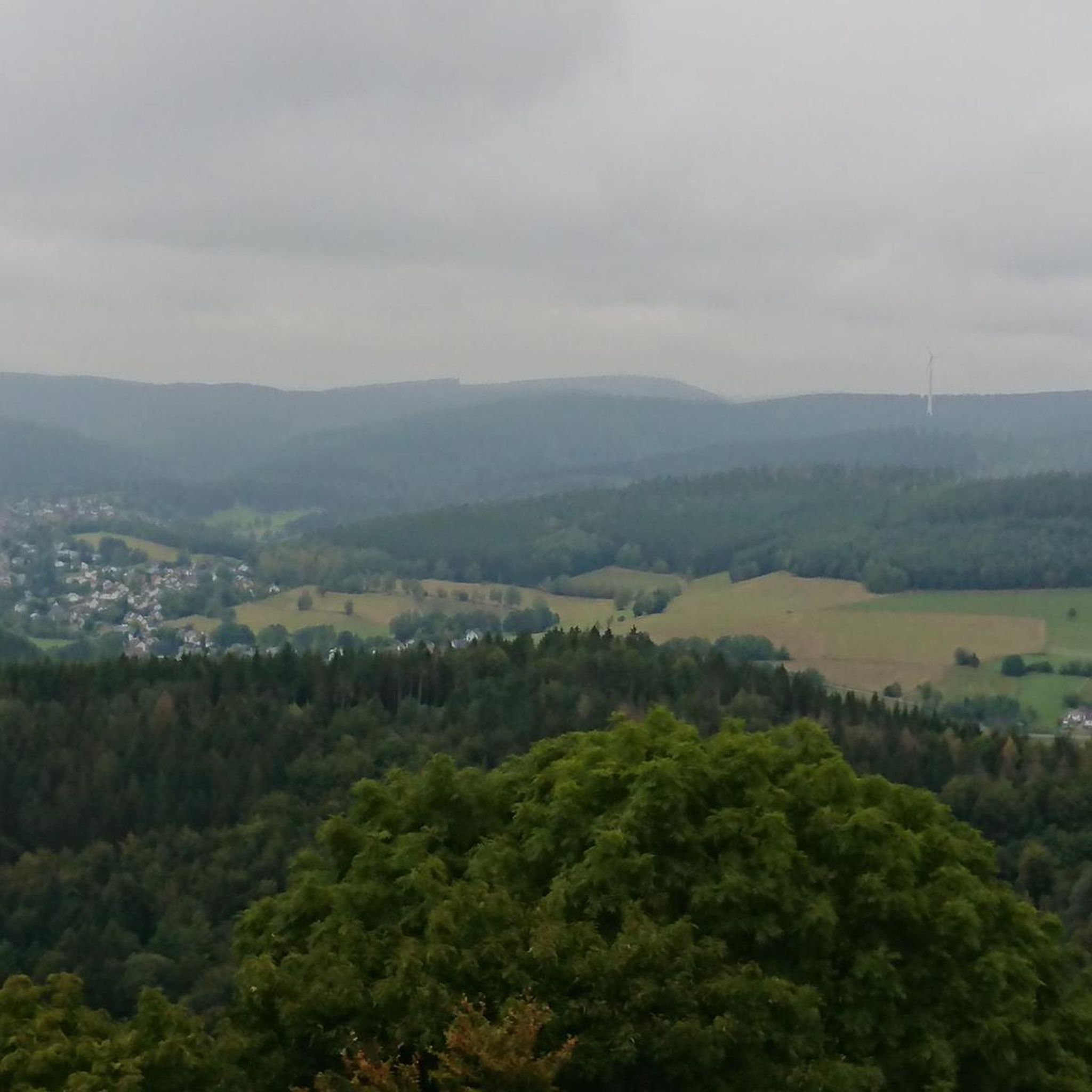
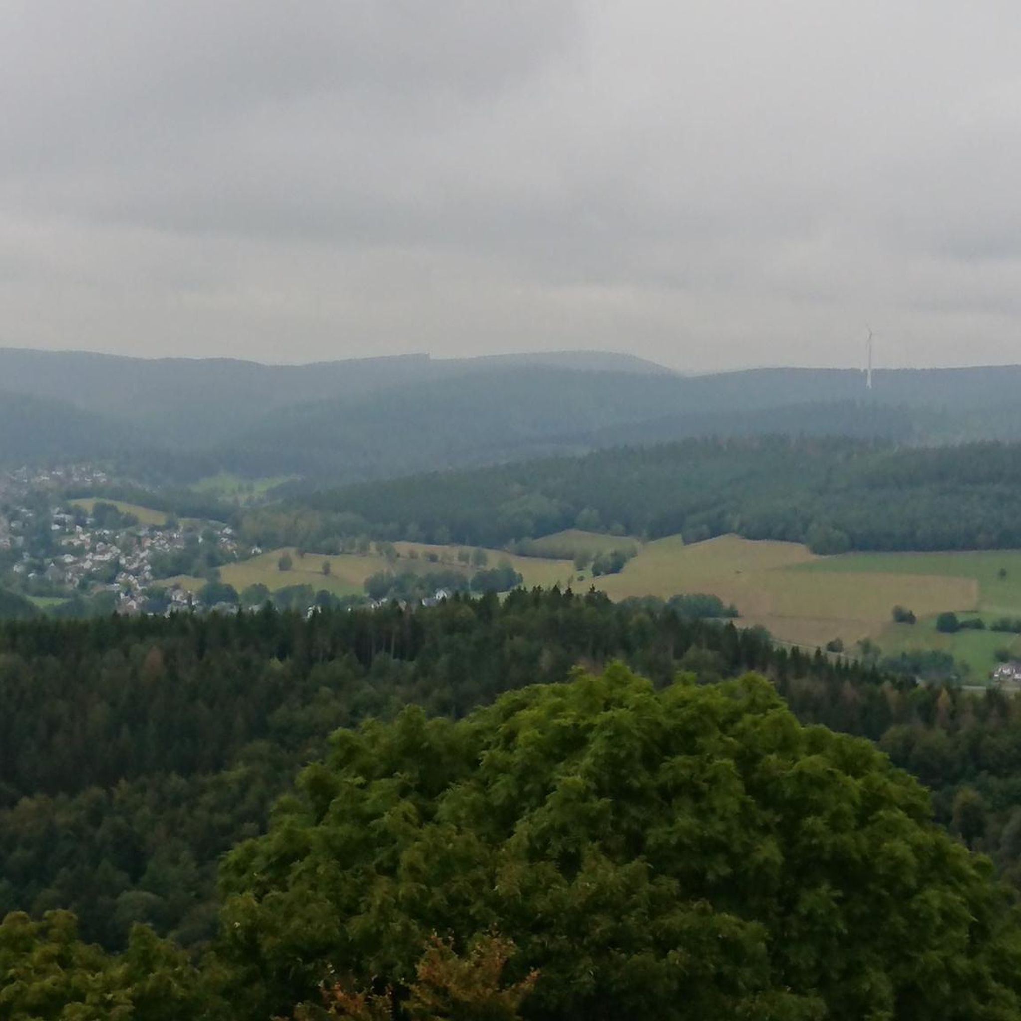
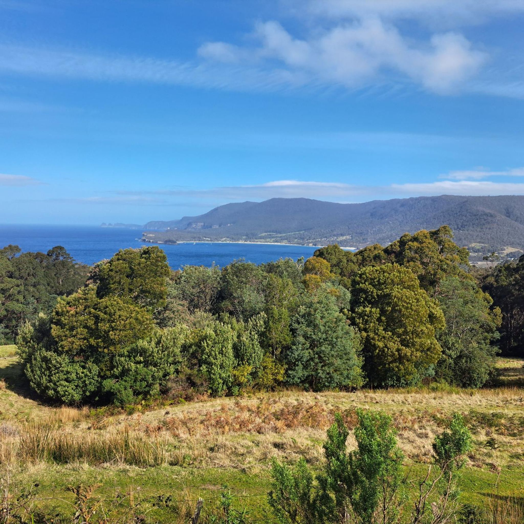
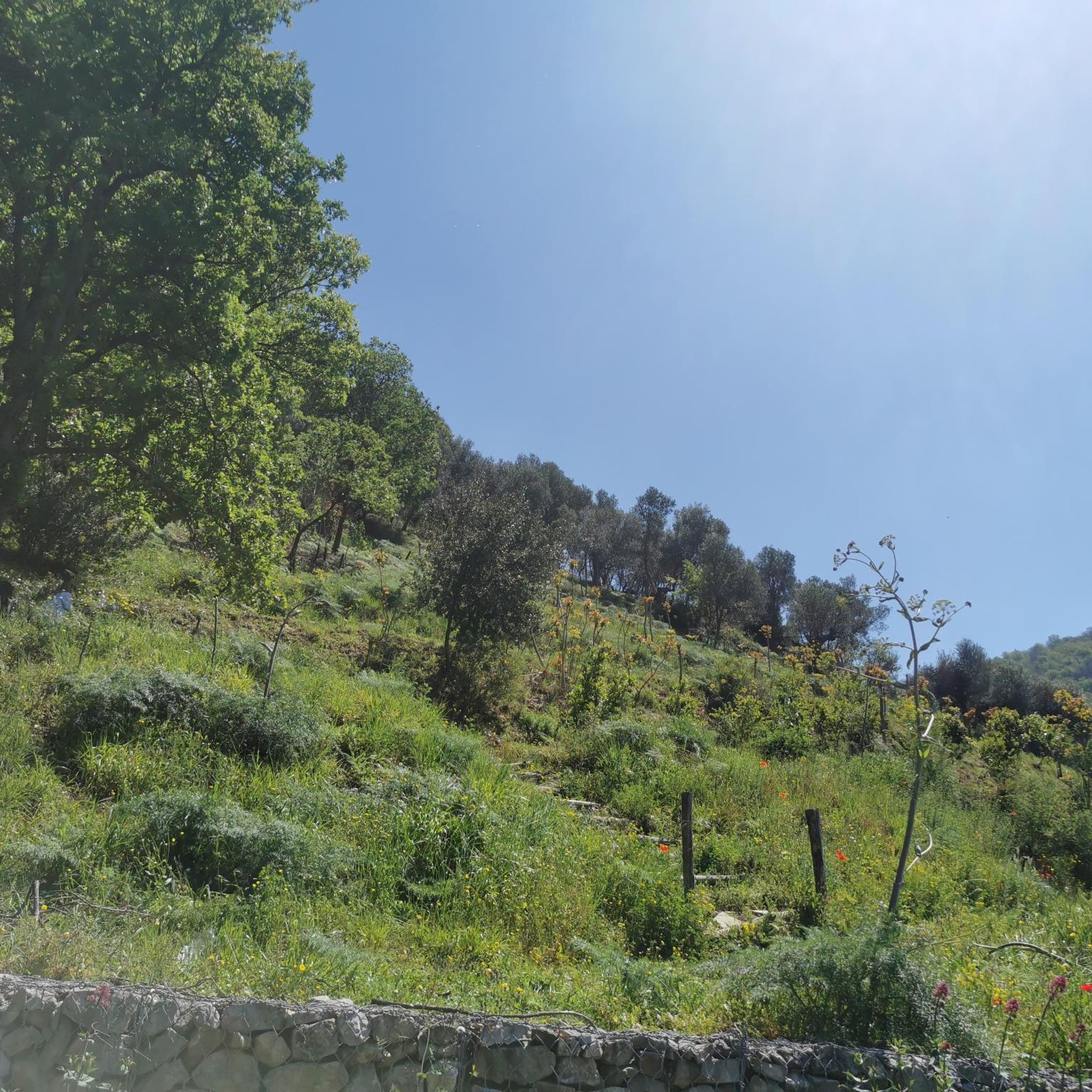
Tips from the Community

This is a nice little green space with a dirt walking trail along the coast. The trail takes a shady route back to the beach at Cornelian Bay from a bench overlooking the ocean here at its eastern end.
0
0
A paved path along the coast takes you past the park and playground as you parallel the beach. You get a great view south across the water to Tasman Bridge as you walk.
0
0

Derwent River is a large estuary flowing from inland Tasmania into Storm Bay, forming the main waterway through Hobart. The river is tidal in its lower sections, with a mix of freshwater and seawater shaping its flow and conditions. It’s used for shipping, recreation, and transport, with wide stretches of open water and long sightlines across to the surrounding shoreline.
0
0
Queens Domain is a large reserve set on a ridge above the Derwent River, directly opposite the city centre. The area has been protected as public land since 1811, making it one of Hobart’s oldest reserves. It includes a network of bush tracks through dry eucalypt forest, along with open spaces and landmarks such as the Hobart Cenotaph. Elevated sections provide views across the river, the city, and toward kunanyi / Mount Wellington.
0
0
Maxs Infinity Loop is a 2 kilometre multi-use track encircling the summit through bushland. The loop features a dual-surface design, with one side laid in soft-fall bark for runners and walkers, and the other sealed for cyclists and prams. Distance markers run along the track, which can be accessed from points like Crossroads and Grassland Gully. The loop is named after Maxwell George Cherry OAM, a Hobart-based athletics coach, and was previously known as the Domain Joggers Loop before being upgraded in 2019.
0
0
Running along the Derwent River in Hobart, the Intercity Cycleway is a shared path linking the city with northern suburbs. The route follows a mostly flat, sealed surface with long stretches beside the river and sections set slightly inland. It’s used by cyclists, walkers, and runners, with open views across the water in parts and more enclosed sections through urban corridors.
0
0
Tasman Bridge is the city’s main link between the eastern and western shores. Opened in 1965, the bridge includes pedestrian walkways on both sides running directly beside traffic lanes. Walking across feels exposed and noisy, but the elevation gives wide views over the river, Hobart skyline, and surrounding hills. The bridge is also closely tied to Hobart’s history following the 1975 Tasman Bridge disaster, when a cargo ship collision caused part of the bridge to collapse and temporarily split the city in two.
0
0

Named after the famed Dutch explorer who was the first European to reach these shores, this found was unveiled in 1988 by Queen Beatrix of the Netherlands. It stands 14 metres tall and contains elemental representations of earth, air, fire, and water.
0
0
Frequently Asked Questions
How many hiking trails are available in Gordons Hill Nature Recreation Area?
Gordons Hill Nature Recreation Area offers a wide selection of trails, with over 60 routes available for hiking. These range from easy strolls to more challenging ascents, catering to various fitness levels.
What kind of terrain can I expect on the trails?
The trails in Gordons Hill Nature Recreation Area feature a varied terrain. You'll find a mix of bitumen tracks and narrower footpaths winding around the hill, with undulating sections and some steeper climbs. This provides an engaging experience for hikers.
Are there any easy hiking options suitable for beginners?
Yes, there are plenty of easy options. For example, the Beach Huts at Cornelian Bay – Cornelian Bay loop from Glebe is an easy 6.4 km path that offers pleasant views and can be completed in under two hours. Another accessible option is the Hiking loop from Glebe, which is 6.7 km and also considered easy.
Where can I find the best views of Hobart and the Derwent River?
From various points along the trails in Gordons Hill Nature Recreation Area, visitors can enjoy stunning panoramic views of Hobart and the expansive Derwent River, stretching from Lutana to the Tasman Bridge. The undulating terrain often provides elevated vantage points.
What kind of wildlife might I encounter while hiking?
Gordons Hill Nature Recreation Area is rich in wildlife. Hikers might spot wallabies and pademelons, and hear the melodies of various birds. The reserve is also home to a variety of butterflies, and bush orchids can be observed along the paths, especially if you are quiet and observant.
Is Gordons Hill Nature Recreation Area easily accessible by public transport?
Yes, the area is easily accessible from Hobart. Metro buses stop nearby, making it convenient for those relying on public transport to reach the trails.
Where can I park my car when visiting Gordons Hill Nature Recreation Area?
Parking is available at the end of Kaoota Road, which is located near Rose Bay High School. This provides a convenient starting point for accessing the trails within the nature recreation area.
Are there any longer or more challenging hikes in the area?
For those seeking a more challenging experience, the Sphinx Rock – Cascade Brewery loop from Hobart is a difficult 20.6 km route with significant elevation gain, typically taking over six hours to complete. This route offers a more strenuous adventure.
What do other hikers say about Gordons Hill Nature Recreation Area?
The area is highly rated by the komoot community, with an average score of 4.7 stars from over 25 reviews. Hikers often praise the well-maintained paths, the diverse natural scenery, and the rewarding views of the Derwent River and Hobart.
Are there any specific circular routes recommended for hiking?
Yes, many routes in the area are circular. A popular moderate option is the Hobart Cenotaph War Memorial – Theatre Royal Hobart loop from Lindwood, which is 10.7 km and offers a mix of urban and natural scenery. The Gordons Hill Circuit itself is also a well-known pleasant loop.
Is there an official website for Gordons Hill Nature Recreation Area?
For additional information regarding the Gordons Hill Circuit, you can visit the Clarence City Council website: ccc.tas.gov.au.
What is the best time of year to hike in Gordons Hill Nature Recreation Area?
Gordons Hill Nature Recreation Area is generally pleasant for hiking year-round, thanks to Tasmania's temperate climate. Spring and autumn offer mild temperatures and beautiful natural colours, while summer is great for longer days. Winter can be cooler but still enjoyable, especially on clear days.
Most popular routes in Gordons Hill Nature Recreation Area

Get inspired with the komoot mobile app


Explore more
Browse the best Hikes in other regions.
