The best cycling routes in Tharwa Bridge Recreation Area
5.0
(65)
224
riders
9
rides
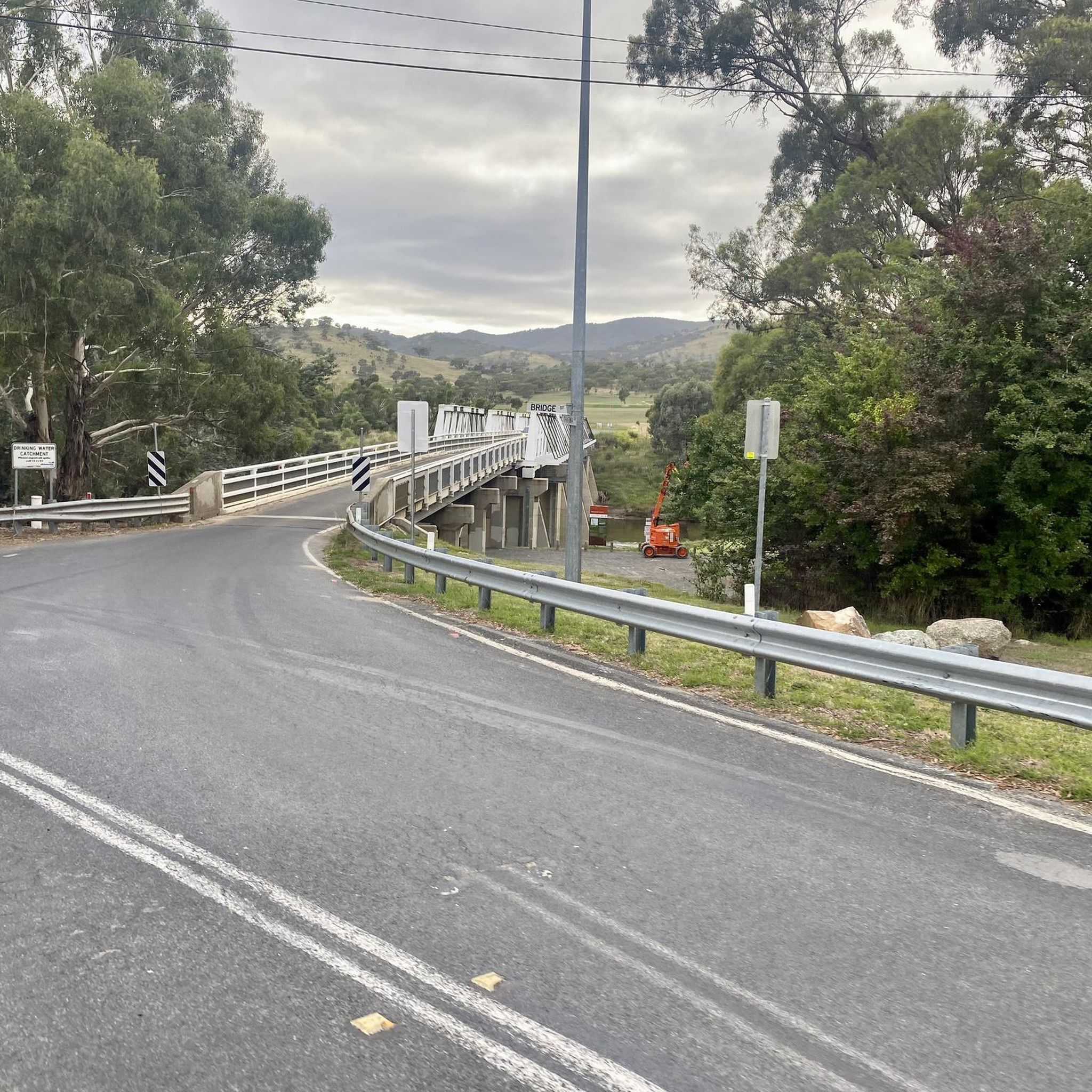
Touring cycling in Tharwa Bridge Recreation Area offers routes through a landscape characterized by the Murrumbidgee River, expansive open grasslands, and gentle hills. The area features a mix of paved and unpaved paths, providing access to scenic river crossings and elevated viewpoints. Routes often follow riverbanks or loop around local landmarks, with varied elevation gains. This region is situated south of Canberra, offering a scenic escape with diverse terrain.
Best touring cycling routes in Tharwa Bridge Recreation Area
- The most…
Last updated: October 22, 2026
5.0
(1)
67
riders
22.7km
01:24
220m
220m
Moderate bike ride. Good fitness required. Mostly paved surfaces. Suitable for all skill levels.
3
riders
25.8km
01:35
240m
240m
Moderate bike ride. Good fitness required. Mostly paved surfaces. Suitable for all skill levels.

5.0
(3)
27
riders
45.1km
02:39
280m
280m
Moderate bike ride. Good fitness required. Mostly paved surfaces. Suitable for all skill levels.
5.0
(20)
29
riders
28.8km
01:42
160m
160m
Moderate bike ride. Good fitness required. Mostly paved surfaces. Suitable for all skill levels.
18
riders
91.6km
05:19
480m
480m
Hard bike ride. Very good fitness required. Mostly paved surfaces. Suitable for all skill levels.
Get access to more routes and recommendations from other explorers.
Already have an account?
Our route recommendations are based on thousands of hikes, rides, and runs completed by other people on komoot.
Start today with a free account
Your next adventure awaits.



Tips from the Community

This path is flat and mostly sealed, and is a lovely route that circles Point Hut Pond, making it ideal for walkers, runners, cyclists, and prams. As you make your way around, you’ll pass open parkland and picnic areas with beautiful views across the pond along the way. It’s an easy loop that’s perfect for a stroll or, if you’re looking for more exercise, a great route for a few laps around the water.
0
0
Point Hut Pond is an urban reservoir designed to improve stormwater quality before it flows into the Murrumbidgee River. It’s a picturesque centrepiece for recreation in the park, with calm water surrounded by open green space and a walking path around the shoreline. It’s a peaceful spot to enjoy the views, watch waterbirds, or cast a line from the bank.
0
0

The Captain James Cook Memorial commemorates Captain James Cook's first sighting of the East Coast of Australia. Aside from the globe sculpture, the giant water jet is part of the memorial. This jet shoots about six tons of water 152 metres at random times.
1
0
The National Carillon sits on Queen Elizabeth II Island, a memorial dedicated to the same queen for her relationship with Australia. This huge tower stands 50 meters tall, with 57 bronze bells inside, and it is lit up at night.
0
0
Ngadyung Beach is a small, sandy, quiet lakeside area nestled along Lake Tuggeranong. The beach sits along open grass and the shared path that forms part of the Lake Tuggeranong Circuit. It's a peaceful place to stop along the lake for views across the water and a short break during a walk or cycle.
0
0
Lake Tuggeranong is a beautiful artificial lake in Canberra’s Tuggeranong district, created in the 1980s as part of the suburb’s town centre development. There is a shared walking and cycling path that circles the lake, passing parks, wetlands, and recreation areas along the shoreline. The lake is a popular local spot ideal for walking, cycling, kayaking, and birdwatching.
0
0

Best seen in the morning and take time to enjoy the small abundant details for example how trails left by the symbiotic relationship between ants and butterflies form tracks on gum trees!
0
0

Frequently Asked Questions
What kind of terrain can I expect when cycling in Tharwa Bridge Recreation Area?
The area offers a diverse landscape for touring cyclists, featuring routes through open grasslands, along the Murrumbidgee River, and over gentle hills. You'll encounter a mix of paved and unpaved paths, providing access to scenic river crossings and elevated viewpoints.
Are there any easy cycling routes suitable for beginners or families?
Yes, while most routes are moderate, there is at least one easy touring cycling route available. These routes often follow flatter sections along the river or through open areas, making them suitable for those new to cycling or families looking for a relaxed ride.
Are there any circular cycling routes in the Tharwa Bridge Recreation Area?
Many of the touring cycling routes in the area are designed as loops. For example, the Lambrigg Lookout – Tharwa Bridge loop from Tharwa and the Tharwa Bridge – Lambrigg Lookout loop from Banks are popular circular options that allow you to start and finish at the same point.
What is the best time of year to go touring cycling in Tharwa Bridge Recreation Area?
Spring and autumn are generally the most pleasant seasons for touring cycling in the Tharwa Bridge Recreation Area, offering mild temperatures and beautiful scenery. Summers can be hot, while winters can be cold with occasional frost, so plan accordingly and check weather forecasts.
Are there opportunities to see wildlife while cycling?
Yes, the rural and riverside landscapes of the Tharwa Bridge Recreation Area are home to various wildlife. Cyclists often spot kangaroos, wallabies, and a diverse range of bird species, especially along the Murrumbidgee River sections and in the open grasslands.
Where can I find parking for cycling routes in the area?
Parking is generally available at key access points to the recreation area and near the start of many routes. For routes originating from Tharwa, you can typically find parking near the historic Tharwa Bridge. For routes starting from suburbs like Banks or Conder, local street parking or designated car parks may be available.
Are there any cafes or places to get refreshments near the cycling trails?
Yes, the nearby Tharwa Village has the Tharwa General Store and Cafe, which is a good spot for refreshments. Additionally, routes like the Common Grounds Café loop from Conder are designed to pass by or near cafes in the surrounding areas, offering convenient stops.
What are some notable viewpoints or scenic spots along the routes?
Many routes offer scenic views, particularly those that follow the Murrumbidgee River or include climbs to elevated positions. The Lambrigg Lookout, featured in routes like the Lambrigg Lookout – Tharwa Bridge loop from Tharwa, provides panoramic vistas of the surrounding landscape.
How long do the touring cycling routes typically take to complete?
The duration varies depending on the route and your pace. Moderate routes like the Lambrigg Lookout – Tharwa Bridge loop from Tharwa (22.7 km) can take around 1 hour 24 minutes, while longer routes such as the Lake Burley Griffin – National Carillon loop from Conder (91.3 km) might require over 5 hours.
What do other touring cyclists enjoy most about cycling in Tharwa Bridge Recreation Area?
The area is highly rated by the komoot community, with an average score of 5.0 stars from over 40 reviews. Reviewers often praise the peaceful riverside paths, the blend of natural scenery with accessible routes, and the opportunities for varied terrain, from gentle grasslands to moderate climbs.
Are there any more challenging long-distance routes for experienced cyclists?
Yes, for experienced cyclists seeking a greater challenge, there are longer and more demanding routes. The Lake Burley Griffin – National Carillon loop from Conder, for example, is classified as difficult, covering over 90 km with significant elevation gain, offering a substantial ride.
Can I access the Tharwa Bridge Recreation Area by public transport?
Direct public transport to the immediate Tharwa Bridge Recreation Area is limited. However, some routes, like the Lake Tuggeranong loop from Conder, start from nearby suburbs such as Conder, which are typically served by local bus networks, allowing for access to the broader cycling network.
Most popular routes in Tharwa Bridge Recreation Area

Get inspired with the komoot mobile app


Explore more
Browse the best Cycling routes in other regions.
