The best walks and hikes around Isle Of May National Nature Reserve
4.5
(134)
1,461
hikers
13
hikes
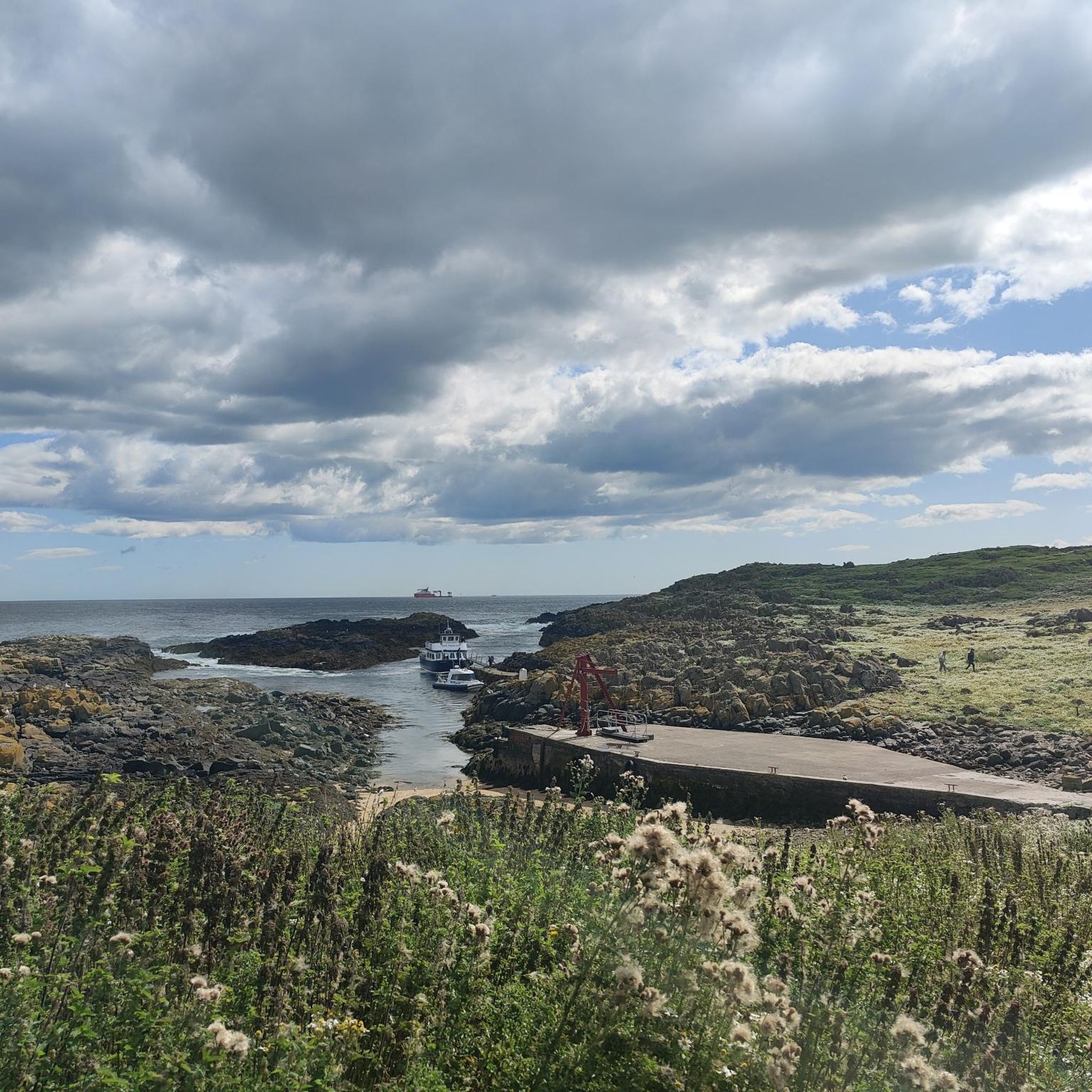
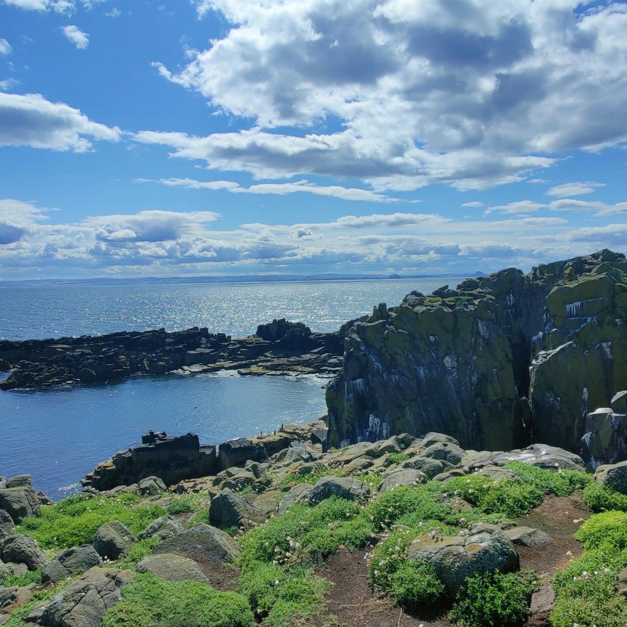
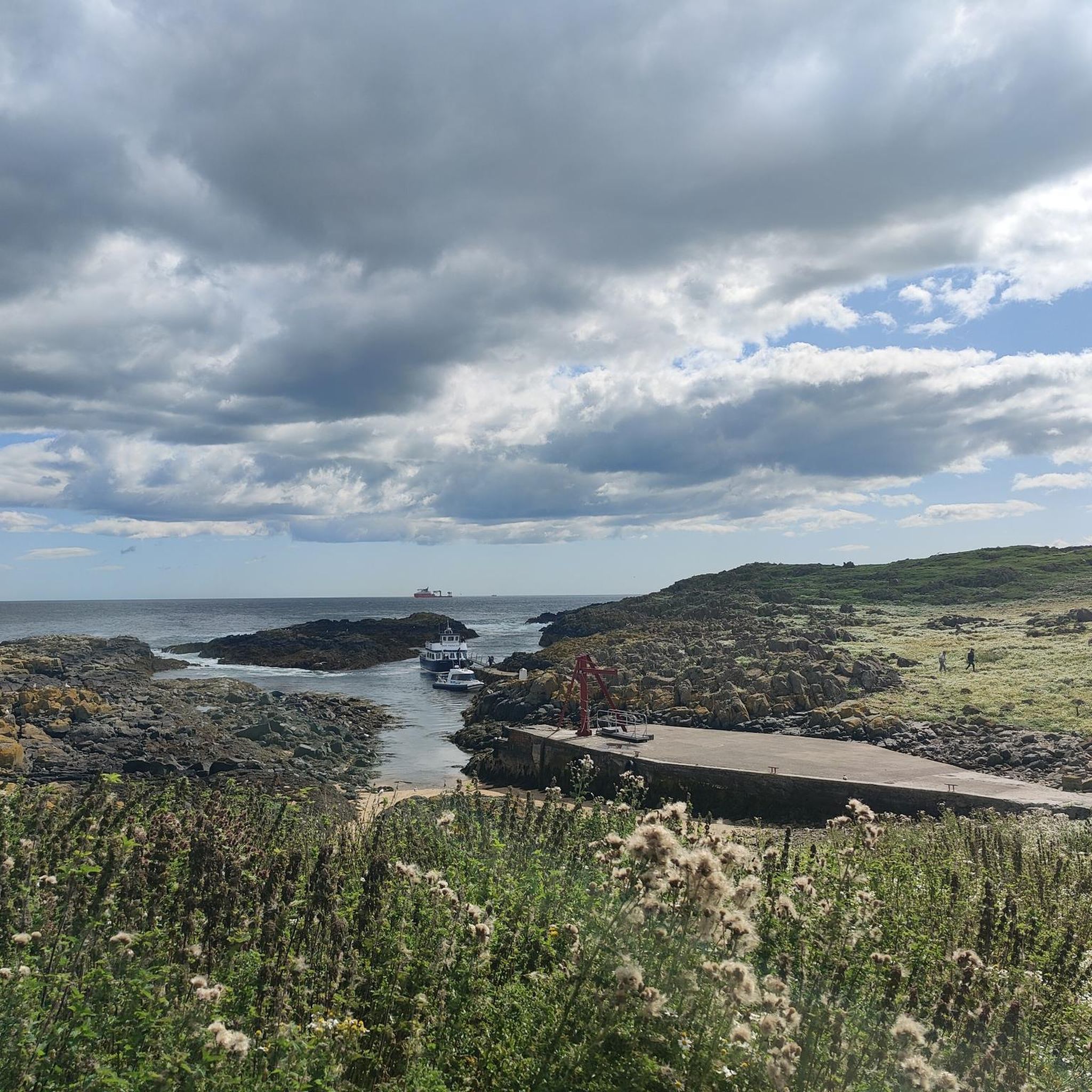
Hiking around Isle of May National Nature Reserve offers a unique coastal experience on a small island in the Firth of Forth. The terrain consists of grassy paths that follow the island's rugged cliff edges and gentle slopes. The highest point is a 50-meter hill, providing panoramic views of the North Sea and the island's important seabird and seal colonies. The walking trails connect historical sites like the island's lighthouses and priory ruins.
Best hiking trails around Isle Of May National Nature Reserve
- The most popular hiking route is Isle of May Lighthouse – Isle of May Harbour loop from Dunbar, a 1.7 mile (2.8 km) trail that takes about 45 minutes to complete. This circular path allows for exploration of the island's main features.
- Another top favourite among local hiking enthusiasts is Crail Harbour – Crail: Tolbooth and Town Hall loop from Dunbar, an easy 2.1 mile (3.4 km) path. This route on the nearby mainland explores the coastal village of Crail.
- Local hiking enthusiasts also love the Caiplie Caves – Crail Harbour loop from Crail, a 7.8 mile (12.6 km) trail leading through coastal scenery, often completed in about 3 hours 15 minutes.
- Hiking around Isle of May National Nature Reserve is defined by cliff-top paths, grassy slopes, and views of the surrounding sea. The network of trails on the island and the nearby mainland offers options for different ability levels.
- The routes in Isle Of May National Nature Reserve are highly rated by the komoot community with an average score of 4.5 stars from over 100 reviews. More than 1,200 hikers have used komoot to explore Isle Of May National Nature Reserve's varied terrain.
Last updated: August 31, 2026
5.0
(4)
47
hikers
Easy hike. Great for any fitness level. Easily-accessible paths. Suitable for all skill levels.
4.7
(22)
236
hikers
13.8km
03:32
60m
60m
Moderate hike. Good fitness required. Easily-accessible paths. Suitable for all skill levels.

Sign up for free
4.5
(2)
33
hikers
9.72km
02:31
60m
60m
Moderate hike. Good fitness required. Easily-accessible paths. Suitable for all skill levels.
7
hikers
3.61km
00:58
40m
40m
Easy hike. Great for any fitness level. Easily-accessible paths. Suitable for all skill levels.
5
hikers
3.09km
00:51
50m
50m
Easy hike. Great for any fitness level. Easily-accessible paths. Suitable for all skill levels.
Get access to more routes and recommendations from other explorers.
Sign up for free
Already have an account?
Our route recommendations are based on thousands of hikes, rides, and runs completed by other people on komoot.
Start today with a free account
Your next adventure awaits.
Login or Signup
Popular around Isle Of May National Nature Reserve
Tips from the Community

Definitely stroll through Denburn Wood. A blooming nature paradise is emerging here.
1
0

Beautiful little fishing port, where you can enjoy freshly caught and prepared crabs.
0
0

Parts of Crail’s Tolbooth and Town Hall building date back to the late 16th century. It is nowadays A-listed and used for various events. It can be found at the junction of Marketgate.
0
0

The cave is easy to come across on the Fife costal path and a short walk down from the golf club.
0
0
Another interesting landmark along the costal path, just past the golf course. There’s an information board, though very easy to miss.
0
0


Do not go into Crail golf club for coffee or food you will not be served unless you are a member. Very disappointed. Crail gold Hotel in town serves very good food no membership required happy days.
0
0

Best laid plans of mice & men - efforts to build a stone beacon here (to protect ships sailing close to the North Carr Rocks) were dashed when a storm washed away the almost completed stone beacon after five years of construction.
0
0
Frequently Asked Questions
When is the best time to visit the Isle of May to see puffins?
The best time to see the puffins is during their breeding season, which typically runs from April to early August. Visiting within this window gives you the best chance to see these iconic birds near their burrows on the cliff tops.
How do I get to the Isle of May?
The island is accessible only by boat. Ferries operate from Anstruther and North Berwick, usually between April and September. It's essential to book your boat trip in advance as they are very popular, especially during peak puffin season.
How long do you get to spend on the island?
A standard visit allows for about two to three hours of exploration time on the island itself. This is generally enough time to walk the main paths, visit the lighthouses, and spend plenty of time observing the wildlife.
Can you walk all the way around the Isle of May?
Yes, there is a main path that forms a circular route around the island. The walk is approximately 4 kilometers (2.5 miles) and takes you along the cliff edges and past the key historical and natural sights. The paths are mostly grassy and well-defined.
What is the terrain like for walking on the island?
The terrain consists mainly of grassy paths that can be uneven and slippery when wet. You'll encounter some gentle slopes, particularly up to the island's highest point at 50 meters. Sturdy walking shoes with good grip are highly recommended.
Are the hikes on or near the Isle of May difficult?
The main walk on the island itself is considered easy, with a total of 7 easy and 4 moderate routes available in the wider area. For a more challenging walk on the mainland, you could try the Caiplie Caves – Crail Harbour loop from Crail, which is a longer coastal trail.
Are there any family-friendly walks in the area?
Yes, the main walk on the island is suitable for families with children who are comfortable with a few kilometers of walking. On the mainland, the Crail Harbour – Crail: Tolbooth and Town Hall loop from Dunbar is a very easy and short walk, perfect for exploring the charming coastal village of Crail.
What should I wear for a walking trip to the Isle of May?
It's best to wear layers as the weather can change quickly. Waterproof and windproof outer layers are essential, even on a sunny day. Sturdy, comfortable walking shoes are a must. Also, consider wearing a hat, especially during the tern nesting season as they can be very protective and may dive-bomb visitors.
What kind of wildlife can I expect to see besides puffins?
The island is a major wildlife hotspot. You can see huge colonies of guillemots, razorbills, and kittiwakes nesting on the cliffs. Shags and fulmars are also common. The Isle of May is also home to one of the largest grey seal colonies in eastern Britain, and you can often spot them on the rocks or in the water.
Are there any circular walks available?
Yes, many of the best walks are loops. On the island, the main trail is a circular route. For a pleasant loop on the nearby coast, the Crail: Tolbooth and Town Hall – Crail Harbour loop from Crail offers lovely sea views and a tour of the historic village.
What do other hikers think of the trails around the Isle of May?
The area is highly regarded by the komoot community, with an average rating of 4.5 stars. Hikers frequently praise the spectacular wildlife encounters, the dramatic cliff-top scenery, and the unique experience of exploring the island's historic lighthouses.
How many hiking trails are there around the Isle of May National Nature Reserve?
There are over 10 designated hiking routes in and around the Isle of May area featured on komoot. These range from the main loop on the island itself to various coastal walks on the nearby mainland, offering a good selection for different preferences.
Most popular routes around Isle Of May National Nature Reserve

Get inspired with the komoot mobile app


Explore more
Browse the best Hikes in other regions.
