Barnack Hills And Holes National Nature Reserve
Barnack Hills And Holes National Nature Reserve
The best MTB trails in Barnack Hills And Holes National Nature Reserve
4.7
(62)
457
riders
29
rides
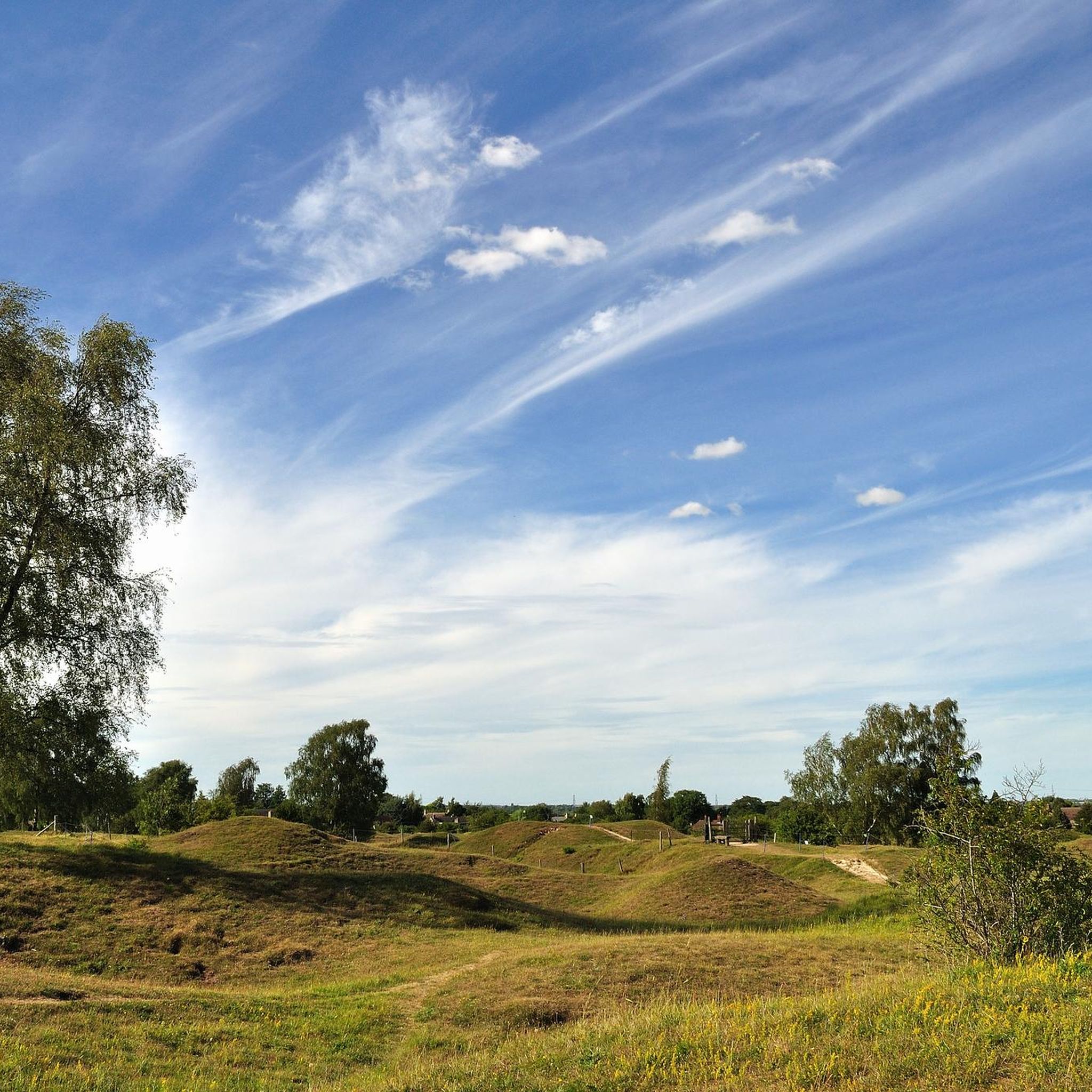
Mountain biking in Barnack Hills And Holes National Nature Reserve offers a distinctive landscape shaped by medieval quarrying, resulting in undulating hills and hollows. This unique, rolling terrain provides a varied experience for cyclists seeking off-road routes. The area features a network of paths with thin chalky trails, creating an engaging challenge. While some routes have minimal elevation changes, the mounds and hollows ensure a dynamic ride across its limestone grassland habitat.
Best mountain bike trails in Barnack Hills And…
Last updated: July 10, 2026
5
riders
49.9km
03:08
300m
300m
Moderate mountain bike ride. Good fitness required. Suitable for all skill levels.
4.7
(46)
372
riders
63.8km
03:59
390m
390m
Moderate mountain bike ride. Good fitness required. Suitable for all skill levels.

Sign up for free
4.0
(1)
5
riders
27.4km
01:45
240m
240m
Easy mountain bike ride. Great for any fitness level. Suitable for all skill levels.
5
riders
30.5km
01:51
250m
250m
Easy mountain bike ride. Great for any fitness level. Suitable for all skill levels.
4
riders
47.7km
02:50
320m
320m
Moderate mountain bike ride. Good fitness required. Suitable for all skill levels.
Get access to more routes and recommendations from other explorers.
Sign up for free
Already have an account?
Our route recommendations are based on thousands of hikes, rides, and runs completed by other people on komoot.
Start today with a free account
Your next adventure awaits.
Login or Signup
Popular around Barnack Hills And Holes National Nature Reserve

Tips from the Community

Burghley House is always worth a wander through. It has wide shared paths for walking and cycling so it's just for slow speeds. Free parking if you have a car.
0
0

The entire park was closed for the setting up of an event when I visited
0
0
Friendly owner and staff.. bit pricey and am not particularly sure they are full pint glasses
0
0

The Bottle Lodges at Burghley House are a pair of distinctive gatehouses located at the entrance to the estate, built in 1801 to commemorate the Earl of Exeter's elevation to the marquessate.
0
0
This is a grade II listed pedestrain bridge over the River Welland, dating from 1881 and built by Stamford Town Council to replace one destroyed by flood in July 1880. It is built out of rubble stone and iron.
0
0
Red Lion Square is a historic market place and the center of Stamford, Lincolnshire, England, known for its cobbled surface.
0
0
The River Welland is a 65-mile (105 km) long lowland river in eastern England, originating in the Hothorpe Hills and flowing northeast to The Wash.
0
0
Frequently Asked Questions
What kind of terrain can I expect when mountain biking in Barnack Hills And Holes National Nature Reserve?
The reserve is known for its unique, undulating hills and hollows, a result of medieval quarrying. This creates a varied and engaging terrain with numerous small hills and dips, and thin chalky trails. While some routes have minimal elevation changes, the overall landscape ensures a dynamic ride across its limestone grassland habitat.
Are there mountain bike trails suitable for beginners or families in the area?
Yes, the area offers a good mix of trails. Out of the 31 available mountain bike routes, 14 are rated as easy, making them suitable for beginners or families looking for a less challenging ride. For example, the Red Lion Square, Stamford – Stamford Historic Town Centre loop from Stamford is an easy 17.0-mile trail.
What do other mountain bikers enjoy most about the trails in Barnack Hills And Holes National Nature Reserve?
The trails in Barnack Hills And Holes National Nature Reserve are highly rated by the komoot community, with an average score of 4.8 stars from over 50 reviews. Riders often praise the unique, rolling landscape and the varied terrain that provides an engaging off-road experience.
Can I bring my dog on the mountain bike trails in Barnack Hills And Holes National Nature Reserve?
The reserve is a National Nature Reserve and a Site of Special Scientific Interest. While dogs are generally welcome, it's important to keep them under close control, especially due to sheep grazing in designated paddocks and the presence of ground-nesting birds and other wildlife. Always check local signage for specific rules on trails.
Are there any circular mountain bike routes available?
Yes, many of the routes in and around Barnack Hills And Holes National Nature Reserve are designed as loops. For instance, the Burghley House Bottle Lodges – Wothorpe Towers loop from Bainton is a moderate 30.3-mile circular trail that explores the wider area.
What natural features or landmarks can I expect to see while mountain biking?
The reserve itself is a striking natural feature, characterized by its 'hills and hollows' formed by medieval quarrying. You'll ride through limestone grassland, which is rich in wildflowers, especially in spring and summer, including various orchid species. Birdwatchers might spot species like the Green Woodpecker and Skylark. Some routes, like the Rutland Water Dam – Normanton Church loop from Stamford, also offer extensive views and diverse landscapes, including sections near Rutland Water.
What is the best time of year to go mountain biking in Barnack Hills And Holes National Nature Reserve?
Spring and summer are particularly beautiful due to the profusion of wildflowers in the limestone grassland, including various orchid species. However, the varied terrain can be enjoyed year-round. Be mindful that chalky trails might become muddy after heavy rain, so checking weather conditions is always advisable.
Is there parking available for mountain bikers at Barnack Hills And Holes National Nature Reserve?
While the guide data does not specify dedicated mountain bike parking, visitors typically find parking in or near Barnack village. It's advisable to check local information or maps for designated parking areas before your visit.
Are there any cafes or pubs near the mountain bike trails for refreshments?
Yes, the village of Barnack and nearby Stamford offer various options for refreshments. You can find cafes and pubs in these areas to refuel after your ride. For example, the Red Lion Square, Stamford – Stamford Historic Town Centre loop from Stamford takes you through the historic town, providing easy access to amenities.
What are the rules and regulations for mountain biking within the National Nature Reserve?
As a National Nature Reserve and SSSI, it's crucial to respect the environment. Stick to marked paths to protect the delicate limestone grassland habitat and its wildflowers. Be mindful of sheep grazing in designated areas and other visitors. Always follow the Countryside Code and any specific signage posted within the reserve.
Are there longer, more challenging mountain bike routes in the vicinity?
Yes, for those seeking a longer and more challenging ride, there are several moderate routes. The Rutland Water Dam – Normanton Church loop from Stamford is a moderate 39.7-mile path offering extensive views and diverse landscapes. Another option is the Albert Bridge – Collyweston–Ketton Bridge loop from Stamford, a moderate 47.7-mile route.
Can I reach the mountain biking trails using public transport?
Public transport options to Barnack are limited. While there might be local bus services connecting to nearby towns like Stamford or Peterborough, direct access to the reserve by public transport might require some planning. It's recommended to check current bus schedules if you plan to rely on public transport.
Most popular routes in Barnack Hills And Holes National Nature Reserve

Get inspired with the komoot mobile app


Explore more
Browse the best MTB trails in other regions.
