Scolt Head Island National Nature Reserve
Scolt Head Island National Nature Reserve
The best walks and hikes in Scolt Head Island National Nature Reserve
4.6
(584)
7,059
hikers
145
hikes
Hiking in Scolt Head Island National Nature Reserve offers exploration across a dynamic barrier island shaped by tides and weather. The landscape features extensive salt marshes and intricate tidal creeks on its southern side, transitioning to expansive sand dunes and shingle beaches along the northern shore. Mudflats are also a significant part of the island's ever-changing coastal environment. This diverse terrain provides varied hiking experiences, from coastal paths to dune exploration.
Best hiking trails in Scolt Head Island National Nature Reserve
- The most popular hiking route is Brancaster Staithe Circular Walk, a 4.8 miles (7.7 km) trail that takes 2 hours 1 minute to complete. This moderate route offers views of the coastal landscape and marshlands.
- Another top favourite among local hikers is Burnham Overy Staithe loop via Harbour — Norfolk Coast, an easy 3.0 miles (4.8 km) path. This route provides access to the harbour and coastal scenery.
- Local hikers also love the Brancaster Circular Walk, a 8.5 miles (13.8 km) trail leading through coastal paths and open landscapes, often completed in about 3 hours 36 minutes.
- Hiking in Scolt Head Island National Nature Reserve is defined by salt marshes, sand dunes, and shingle beaches. The network offers options for different ability levels, from easy coastal strolls to more challenging treks across varied terrain.
- The routes in Scolt Head Island National Nature Reserve are highly rated by the komoot community with an average score of 4.6 stars from over 500 reviews. More than 6000 hikers have used komoot to explore Scolt Head Island National Nature Reserve's varied terrain.
Last updated: October 13, 2026
4.6
(21)
107
hikers
7.71km
02:01
60m
60m
Moderate hike. Good fitness required. Easily-accessible paths. Suitable for all skill levels.
4.7
(3)
19
hikers
13.8km
03:36
110m
110m
Moderate hike. Good fitness required. Easily-accessible paths. Suitable for all skill levels.

9
hikers
4.76km
01:14
30m
20m
Easy hike. Great for any fitness level. Easily-accessible paths. Suitable for all skill levels.
4.7
(7)
91
hikers
Moderate hike. Good fitness required. Easily-accessible paths. Suitable for all skill levels.
5.0
(5)
119
hikers
Moderate hike. Good fitness required. Easily-accessible paths. Suitable for all skill levels.
Get access to more routes and recommendations from other explorers.
Already have an account?
Our route recommendations are based on thousands of hikes, rides, and runs completed by other people on komoot.
Start today with a free account
Your next adventure awaits.
Popular around Scolt Head Island National Nature Reserve

Tips from the Community

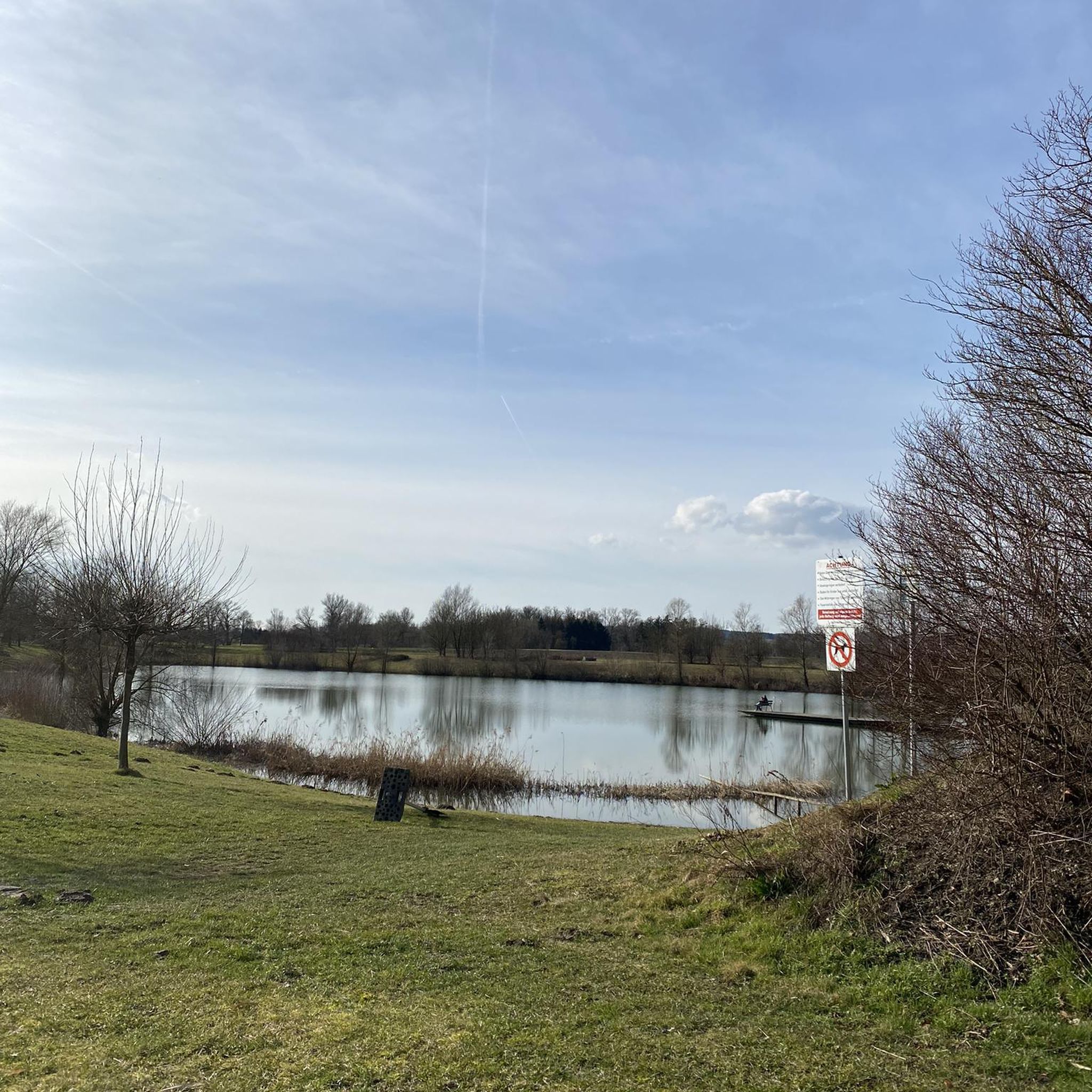
Arrive during the low tide and you’ll be able to cross over the River Burn on foot and explore more of the quay and beach, especially if you plan to make the trek to Scolt Head. The Hero Pub isn’t too far from the quay so a pint and a bite to eat is always on the cards - but this is the sole eating spot in the village so it does get busy, especially on weekends and hot summer days!
0
0

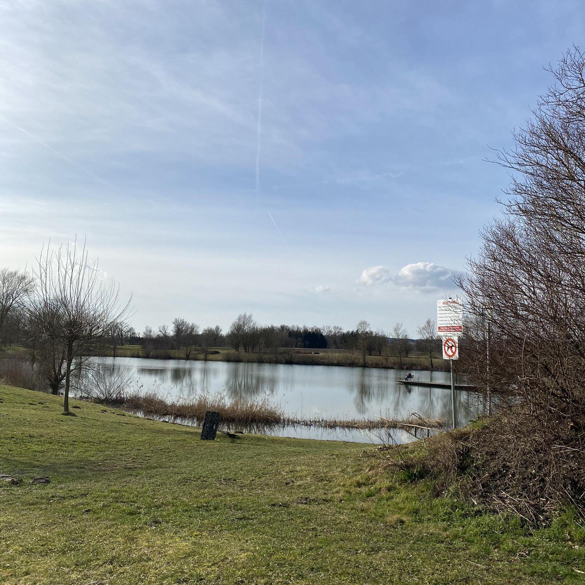
The road surface is averagely lumpy and manhole-filled. At least it isn't covered in chippings I suppose.
0
0
Notable landmark, standing on the edge of the low hill that looks out across the Burnham marshes.
0
0

There's a couple selling coffee from a modified cargo bike who are lovely, and sell fantastic cake. Great place for a break.
0
0

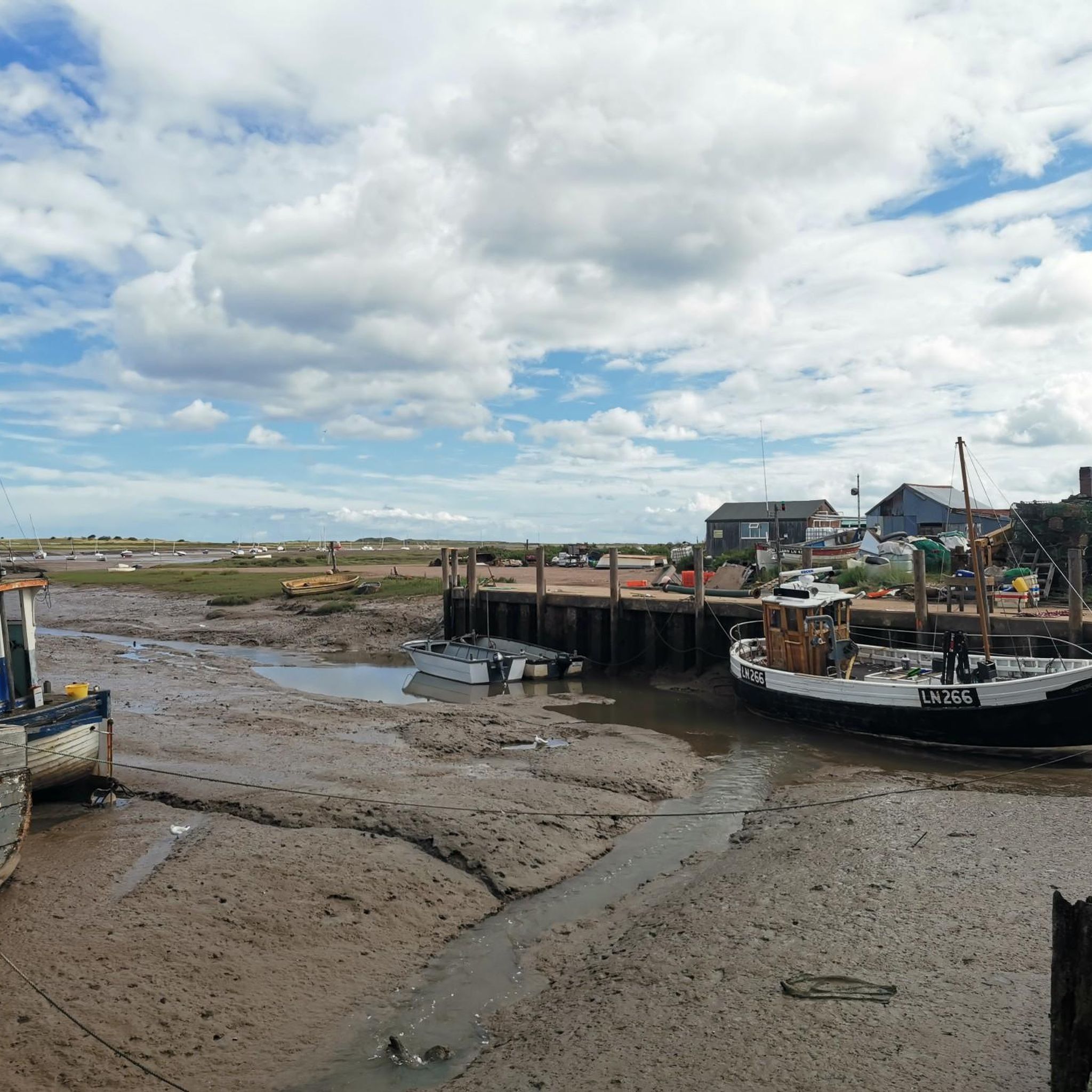
Brancaster Activity Centre is perfectly situated on the picturesque Brancaster Straithe Harbour on the North Norfolk Coast. The site offers accomodation, refreshments, and a cafe kiosk selling crab baguettes! It's a great place to stop and take in the beauty of this unique landscape.
1
0
These are the remains of a roman 'Saxon shore' fort, built in the 230s and standing until the 18th century. The site is an area of archaeological importance and has been studied in depth over the past years. It has even featured on the television show Time Team in 2013, which helped to uncover many of the facts we know about this historic place today.
1
0

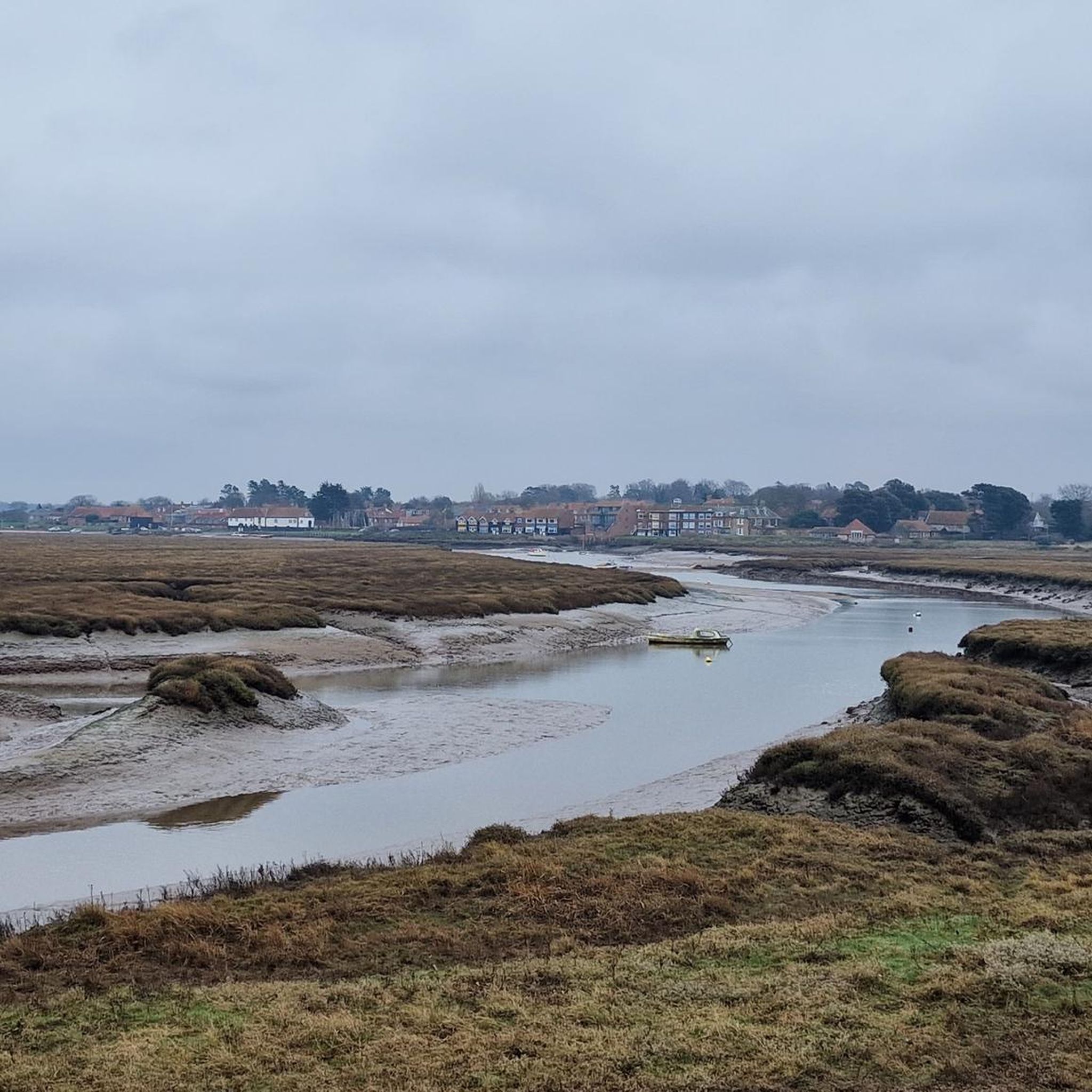
The views across the salt marshes and of the moored boats make for a incredibly pretty running route that's also nice and flat.
0
0
Frequently Asked Questions
What kind of terrain can I expect when hiking in Scolt Head Island National Nature Reserve?
Scolt Head Island offers a diverse and dynamic coastal landscape. You'll encounter extensive salt marshes and intricate tidal creeks on the southern side, transitioning to expansive sand dunes and shingle beaches along the northern shore. Mudflats are also a significant feature, making for varied walking surfaces. The island is continuously shaped by tides and weather, providing a unique experience.
How many hiking trails are available in Scolt Head Island National Nature Reserve?
There are over 150 hiking routes available in Scolt Head Island National Nature Reserve. These range from easy coastal strolls to more challenging treks across varied terrain, catering to different fitness levels and preferences.
Are there any family-friendly hiking options in the reserve?
Yes, Scolt Head Island National Nature Reserve offers several easy routes suitable for families. For instance, the Burnham Overy Staithe loop via Harbour — Norfolk Coast is an easy 3.0-mile (4.8 km) path that provides access to the harbour and coastal scenery, perfect for a relaxed family outing.
Can I bring my dog on the hiking trails?
Scolt Head Island is a National Nature Reserve and a crucial breeding ground for various bird species, especially terns. While dogs are generally welcome in many parts of the Norfolk Coast Path, specific restrictions may apply on the island itself, particularly during nesting seasons, to protect wildlife. It's advisable to keep dogs on a lead and check local signage or the reserve's official guidelines before visiting.
What are the notable natural features or landmarks to look out for?
The reserve is renowned for its unique natural features, including some of the highest sand dunes in the British Isles, extensive salt marshes, and intricate tidal creeks. A notable landmark is 'The Hut,' a quaint cottage nestled within the dunes, originally built for the first 'Watcher' of the tern colonies. You can also spot seals basking along the shoreline.
What is the best time of year to visit Scolt Head Island for hiking?
The best time to visit for hiking is generally during the spring and autumn months when the weather is milder and birdlife is abundant. Summer offers warmer temperatures but can also be busier. Crucially, access to the island is tidal, so checking tide tables is essential regardless of the season. The seasonal ferry operates from April to September.
How do I access Scolt Head Island, and what should I be aware of?
The island can be accessed on foot by crossing Overy Creek and Cockle Strand at low tide from Burnham Overy Staithe. This walk takes you through salt marsh and across tidal flats. It is critical to check tide tables as conditions change quickly and can become dangerous. A seasonal ferry from Burnham Overy Staithe also provides access from April to September.
Are there any circular walks available in the area?
Yes, there are several circular walks. A popular option is the Brancaster Circular Walk, an 8.5-mile (13.8 km) trail that leads through coastal paths and open landscapes, offering a comprehensive experience of the region's beauty.
What do other hikers enjoy most about hiking in Scolt Head Island National Nature Reserve?
The area is highly rated by the komoot community, with an average score of 4.6 stars from over 500 reviews. Reviewers often praise the untouched, wild landscapes, the sense of seclusion, and the abundant birdlife. Many appreciate the unique challenge and reward of exploring a dynamic barrier island shaped by nature.
What should I wear or bring for a hike on Scolt Head Island?
Given the dynamic coastal environment and tidal access, it's essential to be prepared. Wear sturdy, waterproof footwear suitable for varied terrain including sand, shingle, and potentially muddy salt marshes. Layered clothing is recommended due to changing weather conditions. Always carry water, snacks, and a fully charged phone. Checking tide times and weather forecasts before you set out is crucial for safety.
Are there options for longer, more challenging hikes?
Yes, for those seeking a more challenging experience, routes like the Pine Forest Path – Wells-next-the-Sea loop from Burnham Overy offer a difficult 21.1 km (13.1 miles) trek. These longer routes allow you to explore more of the island's diverse coastal geomorphology and connect with the wider Norfolk Coast Path.
Is there parking available for hikers near Scolt Head Island?
Parking is typically available at Burnham Overy Staithe, which is the primary access point for the island. From there, you can cross to the island on foot at low tide or take the seasonal ferry. It's advisable to arrive early, especially during peak season, as spaces can fill up quickly.
Most popular routes in Scolt Head Island National Nature Reserve

Get inspired with the komoot mobile app


Explore more
Browse the best Hikes in other regions.
