The best road cycling routes in Ecoparque La Bandera
5.0
(30)
444
riders
8
rides
Road cycling routes in Ecoparque La Bandera offer challenging climbs and panoramic views of Cali, Colombia. The ecopark, a result of ecological restoration, provides a natural setting with tropical dry forest species. While internal trails may be unpaved, the well-maintained paved roads leading to the ecopark are suitable for road bikes, offering significant elevation gain. The area is characterized by its urban-mountain interface, providing a green lung for the city.
Best road cycling routes in Ecoparque La Bandera
- The most…
Last updated: July 11, 2026
4.9
(19)
137
riders
Moderate road ride. Good fitness required. Mostly well-paved surfaces and easy to ride.
19
riders
71.1km
04:19
1,460m
1,460m
Hard road ride. Very good fitness required. Mostly well-paved surfaces and easy to ride.

Sign up for free
4
riders
56.7km
03:48
1,400m
1,400m
Hard road ride. Very good fitness required. Some segments of this route may be unpaved and difficult to ride.
5.0
(5)
35
riders
52.2km
02:17
240m
240m
Moderate road ride. Good fitness required. Mostly well-paved surfaces and easy to ride.
5.0
(3)
123
riders
63.5km
03:56
1,630m
1,630m
Hard road ride. Very good fitness required. Mostly well-paved surfaces and easy to ride.
Get access to more routes and recommendations from other explorers.
Sign up for free
Already have an account?
Our route recommendations are based on thousands of hikes, rides, and runs completed by other people on komoot.
Start today with a free account
Your next adventure awaits.
Login or Signup
Popular around Ecoparque La Bandera

Tips from the Community


Frequently Asked Questions
How many road cycling routes are available in Ecoparque La Bandera?
Ecoparque La Bandera offers a selection of 8 road cycling routes. These include options for various skill levels, with 1 easy route, 3 moderate routes, and 4 difficult routes, ensuring a suitable challenge for most cyclists.
What makes road cycling in Ecoparque La Bandera a unique experience?
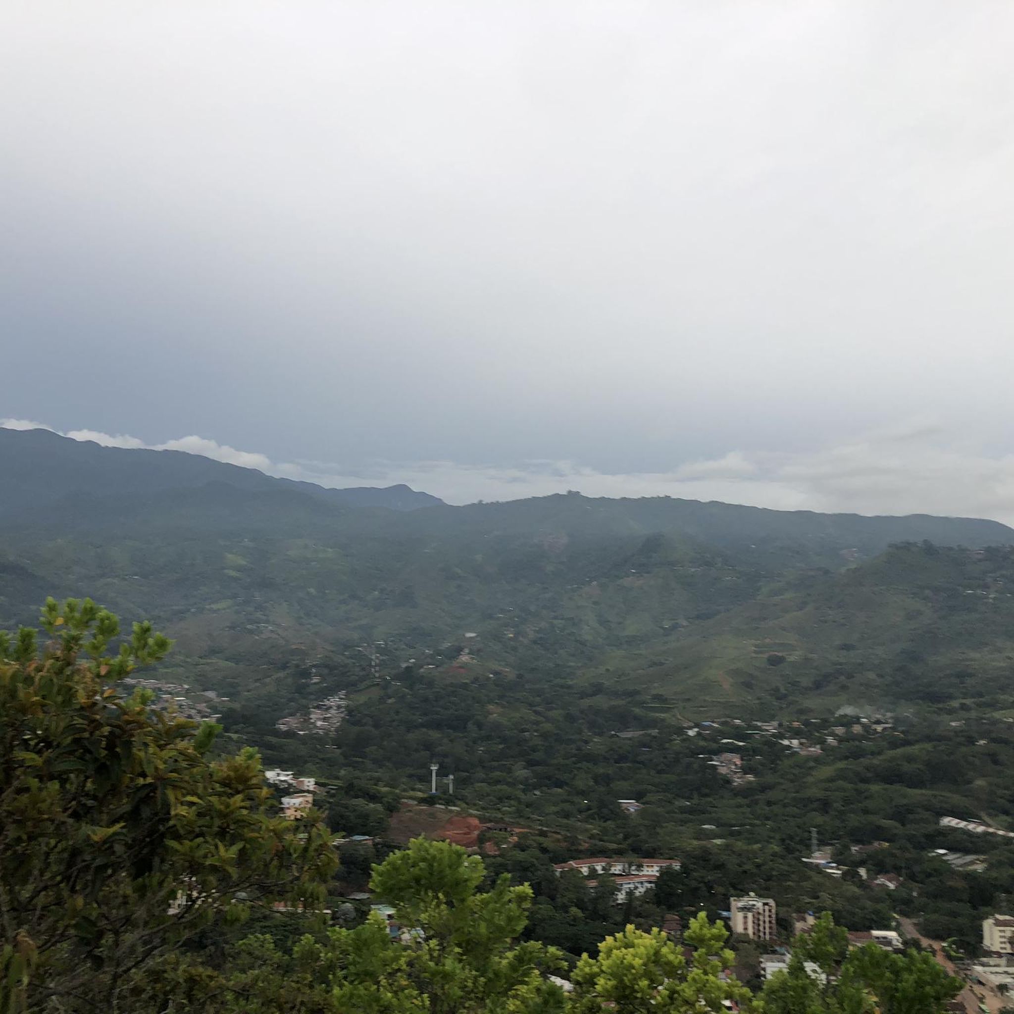
Road cycling in Ecoparque La Bandera is defined by its challenging ascents and the reward of breathtaking panoramic views of Cali. The area, a testament to ecological restoration, offers a refreshing escape with fresh air and a rich natural environment, including tropical dry forest species. Reaching the iconic 'Bandera' monument at the summit is a significant highlight for many cyclists.
What kind of terrain should I expect on the road cycling routes?
While the internal paths within Ecoparque La Bandera itself can transition to unpaved sections, the road cycling routes primarily utilize well-maintained paved roads leading up to the ecopark. These routes are designed for road bikes and offer significant elevation gain, providing a challenging and scenic ride.
Are there any particularly challenging routes for experienced road cyclists?
Yes, for experienced road cyclists seeking a significant challenge, routes like the Buenaventura Km 18 – El Templete Church loop from Velodromo Alcides Nieto Patiño offer substantial climbing and expansive views. Another demanding option is the El Templete Church loop from Estadio Olímpico Pascual Guerrero, which features varied terrain and considerable elevation challenges.
What is the best time of year to go road cycling in Ecoparque La Bandera?
The best time for road cycling in Ecoparque La Bandera, and the broader Cali region, is generally during the dry season. This period typically offers more stable weather conditions, making the challenging ascents and descents more enjoyable and safer.
Are there any loop routes available for road cyclists?
Yes, several loop routes are available. A popular moderate option is the Robles Police Substation – Guachinte Territory of Peace loop from Velodromo Alcides Nieto Patiño, which covers 77.6 km. For a shorter, moderate ride, consider the Puente Rojo loop from Comuna 1.
What do other road cyclists say about the routes in Ecoparque La Bandera?
The road cycling routes in Ecoparque La Bandera are highly regarded by the komoot community, boasting an average rating of 5.0 stars from over 30 reviews. Cyclists often praise the challenging climbs, the rewarding panoramic views of Cali, and the refreshing natural environment that provides a welcome escape from the city.
Are there any easy road cycling routes suitable for beginners or a more relaxed ride?
Yes, for those seeking an easier ride, the Roundabout – Pangola loop from Parada MIO - Calle 18 entre Carrera 127 y 129 Colegio Luis Horacio Gomez is an excellent choice. This route covers 32.4 km with minimal elevation gain, making it suitable for a more relaxed pace.
Are there any specific landmarks or viewpoints along the road cycling routes?
As you ascend towards Ecoparque La Bandera, you'll be treated to progressively expanding panoramic views of Cali. The most prominent landmark is the large 'Bandera' (flag) monument at the summit, which gives the ecopark its name and serves as a significant point of interest and a rewarding destination for cyclists.
Is there public transport access to the starting points of these routes?
Many routes start from locations within Cali, such as Velodromo Alcides Nieto Patiño or Estadio Olímpico Pascual Guerrero, which are generally accessible via the city's public transport system (MIO). It's advisable to check local MIO routes and schedules to plan your journey to the starting points.
Where can I find more information about Ecoparque La Bandera's ecological restoration efforts?
Ecoparque La Bandera is a notable example of successful ecological restoration, transforming an area once affected by mining into a green lung for Cali. For more detailed information on these efforts and the park's biodiversity, you can visit the official Cali government website: cali.gov.co.
Most popular routes in Ecoparque La Bandera

Get inspired with the komoot mobile app


Explore more
Browse the best Road cycling routes in other regions.
