The best walks and hikes in Anacortes Community Forest Lands
4.9
(41)
912
hikers
18
hikes
Hiking in Anacortes Community Forest Lands offers a diverse landscape of forested hills, low mountains, and rocky cliffs within its nearly 3,000 acres. The region features prominent peaks like Mount Erie and Sugarloaf, providing elevated viewpoints. Numerous lakes, ponds, and wetlands, including Heart Lake and Whistle Lake, are integrated into the trail network. The terrain is predominantly covered in mixed second-growth forests, with areas of old-growth and varied flora.
Best hiking trails in Anacortes Community Forest Lands
- The most popular hiking route is Sugar Loaf & Mount Erie loop — Anacortes Community Forest Lands, a 4.3 miles (7.0 km) trail that takes 2 hours 24 minutes to complete. This moderate route ascends to prominent peaks, offering expansive views.
- Another top favourite among local hikers is Whistle Lake loop — Anacortes Community Forest Lands, an easy 3.6 miles (5.8 km) path. This trail circles Whistle Lake, providing lakeside scenery and forest sections.
- Local hikers also love the Lower Loop Trail — Anacortes Community Forest Lands, a 4.7 miles (7.6 km) trail leading through varied forest terrain, often completed in about 2 hours 11 minutes.
- Hiking in Anacortes Community Forest Lands is defined by forested hills, scenic lakes, and diverse habitats, including areas of old-growth forest. The extensive network offers options for various ability levels, from easy lakeside strolls to more challenging mountain ascents.
- The routes in Anacortes Community Forest Lands are highly rated by the komoot community with an average score of 4.9 stars from over 40 reviews. More than 600 hikers have used komoot to explore Anacortes Community Forest Lands's varied terrain.
Last updated: July 7, 2026
5.0
(1)
4
hikers
10.6km
03:05
270m
270m
The Mount Erie and Whistle Lake Loop offers a fantastic blend of forest serenity and expansive views, making it one of the most popular trails routes in the Anacortes area. You'll wind through deep, mossy forests of Douglas fir and cedar, tracing the clear waters of Whistle Lake before climbing to the panoramic viewpoints of Mount Erie. This moderate hike covers 6.6 miles (10.6 km) with 889 feet (271 metres) of elevation gain, typically taking about 3 hours and 4 minutes to complete.
Planning your visit to this gem within the Anacortes Community Forest Lands is straightforward. The trail is well-maintained and part of an extensive system, so trailhead access is generally easy. While there are no specific permits or fees mentioned, arriving early, especially on sunny weekends, is advisable to secure parking and enjoy a quieter experience on the trail. The route is accessible for much of the year, though conditions can vary with the seasons.
What truly sets this loop apart are its natural features and landmarks. Mount Erie's summit, the highest point in the Fidalgo Islands, offers incredible vistas of the Pacific Ocean and distant peaks, a highlight for any hiker. Whistle Lake itself is a beloved summer destination, known for its crystal-clear waters and picturesque rock outcroppings, perfect for a refreshing dip after your hike. The area is also home to diverse wildlife, adding another layer of enjoyment to your outdoor adventure.
1
hikers
7.37km
02:02
120m
140m
The Heart Lake via #242, #23, #211, #208, #224, #250, #25, #215 route offers a delightful escape into the Anacortes Community Forest Lands. This moderate 4.6-mile (7.4 km) hike, with its 402 feet (123 metres) of elevation gain, guides you through serene landscapes and dense forests of Douglas firs and western red cedars. You'll find picturesque viewpoints overlooking the tranquil Heart Lake, especially around the 1.2-mile mark, making it a rewarding journey for about 2 hours and 2 minutes.
Planning your visit is straightforward for this accessible trail. Spring and summer are particularly vibrant seasons, showcasing abundant ferns, mosses, and wildflowers. While specific parking information isn't detailed, the area is well-known, so arriving earlier in the day is always a good strategy to secure a spot. Always check the local weather forecast before you go to ensure a pleasant experience on the trail.
Beyond its natural allure, the region around Heart Lake holds historical significance, with roots tracing back to the indigenous Coast Salish peoples. They utilized the lake and surrounding forests for thousands of years, adding a layer of cultural depth to your hike. This particular loop provides a well-rounded experience, blending natural beauty with a sense of history, and is a great option for those seeking a moderate adventure in the Anacortes area.

Sign up for free
4.05km
01:19
260m
10m
The Erie Mountain Via Whistle Lake Trail offers a diverse and rewarding hiking experience, winding through lush forests, past the serene Whistle Lake, and up to the panoramic vistas of Mount Erie. You'll encounter varied terrain, from gravel paths to rocky, root-filled sections, and even some muddy spots near the lake. The journey culminates at the Mount Erie Summit, where you can soak in expansive views of the San Juan Islands and the Salish Sea, making it a popular route for scenic beauty.
This easy 2.5-mile (4.1 km) hike involves 844 feet (257 metres) of elevation gain and takes about 1 hour and 19 minutes to complete. It's a great option for those seeking a relatively quick outing with significant visual payoff. The trail is part of the larger Anacortes Community Forest Lands, providing ample opportunities to extend your adventure if you wish. Parking is generally available at trail access points, and the trails are well-maintained.
Mount Erie, the highest point on Fidalgo Island, is a major draw, offering unparalleled views and even a tradition of "love locks" at its main viewing platform. Beyond hiking, Whistle Lake is a hub for recreation, with opportunities for swimming and cliff jumping. The area's rich natural environment, including diverse geology and spring wildflowers, adds to the trail's appeal, making it a notable destination within the region.
7.24km
02:04
170m
170m
The Whistle Lake via #218, #29, #217, #205, #201 Loop offers a fantastic immersion into the deep forests of the Anacortes Community Forest Lands, guiding you past crystal-clear waters and through tranquil, moss-lined trails. You'll experience a mix of terrain, from level doubletrack to rocky, rooty sections with significant climbs, all while surrounded by second-growth Douglas fir and cedar trees. This moderate 4.5-mile (7.2 km) hike, with 555 feet (169 metres) of elevation gain, provides a rewarding experience in about 2 hours and 4 minutes, perfect for those seeking varied scenery and a good workout.
Navigating the Whistle Lake trail system can be a bit bewildering due to its numerous junctions, so grabbing a local map from the Anacortes Visitor Center or a bike shop is a smart move before you head out. While specific parking information isn't detailed, the area is popular, so an early start is advisable to ensure a spot and enjoy the quiet morning trails. This loop is a great choice for a half-day adventure, offering year-round beauty, though spring and fall are particularly pleasant.
Whistle Lake is a gem within the Anacortes Community Forest Lands, known for its secluded charm and popularity for swimming and fishing. The extensive trail network allows for countless loop configurations, giving you the feeling of being deep in the Pacific Northwest "tundra" far from urban bustle. Keep an eye out for local wildlife like deer and bald eagles, which are often spotted in this astoundingly beautiful natural setting.
5.0
(4)
53
hikers
7.01km
02:25
370m
360m
The Sugar Loaf & Mount Erie loop offers a dynamic hiking experience near Anacortes, Washington, blending serene forest paths with rugged, steep ascents. You'll navigate through rich forests with moss-covered rock walls and ferns, then emerge to breathtaking vistas. From Sugarloaf's summit, you can gaze out over the bay towards the San Juan Islands, while Mount Erie provides even more expansive panoramas of the Cascades, Olympics, and Puget Sound. This moderate 4.4-mile (7.0 km) route involves 1206 feet (368 metres) of climbing, typically taking about 2 hours and 24 minutes, making it a rewarding trek for those seeking significant views for their effort.
Planning your visit requires a bit of foresight, as the trail system is part of the vast Anacortes Community Forest Lands. It's wise to carry a map or snap a photo of the trailhead map, as cell reception can be spotty and trail markings occasionally confusing. While Mount Erie's summit is car-accessible, hiking the full loop provides a much more immersive experience. Starting your hike earlier in the day is often best to secure parking and enjoy the views in peace.
This trail is a highlight within the Anacortes Community Forest Lands, which encompasses over 2,950 acres of diverse landscapes and more than 50 miles of interconnecting trails. The unique accessibility of Mount Erie's summit by car means that even non-hikers can enjoy the incredible views, but combining both Sugarloaf and Mount Erie into a loop creates a more challenging and complete adventure. Hikers often find the viewpoints from Sugarloaf offer clearer sightlines due to fewer trees compared to Mount Erie.
Get access to more routes and recommendations from other explorers.
Sign up for free
Already have an account?
Our route recommendations are based on thousands of hikes, rides, and runs completed by other people on komoot.
Start today with a free account
Your next adventure awaits.
Login or Signup
Tips from the Community

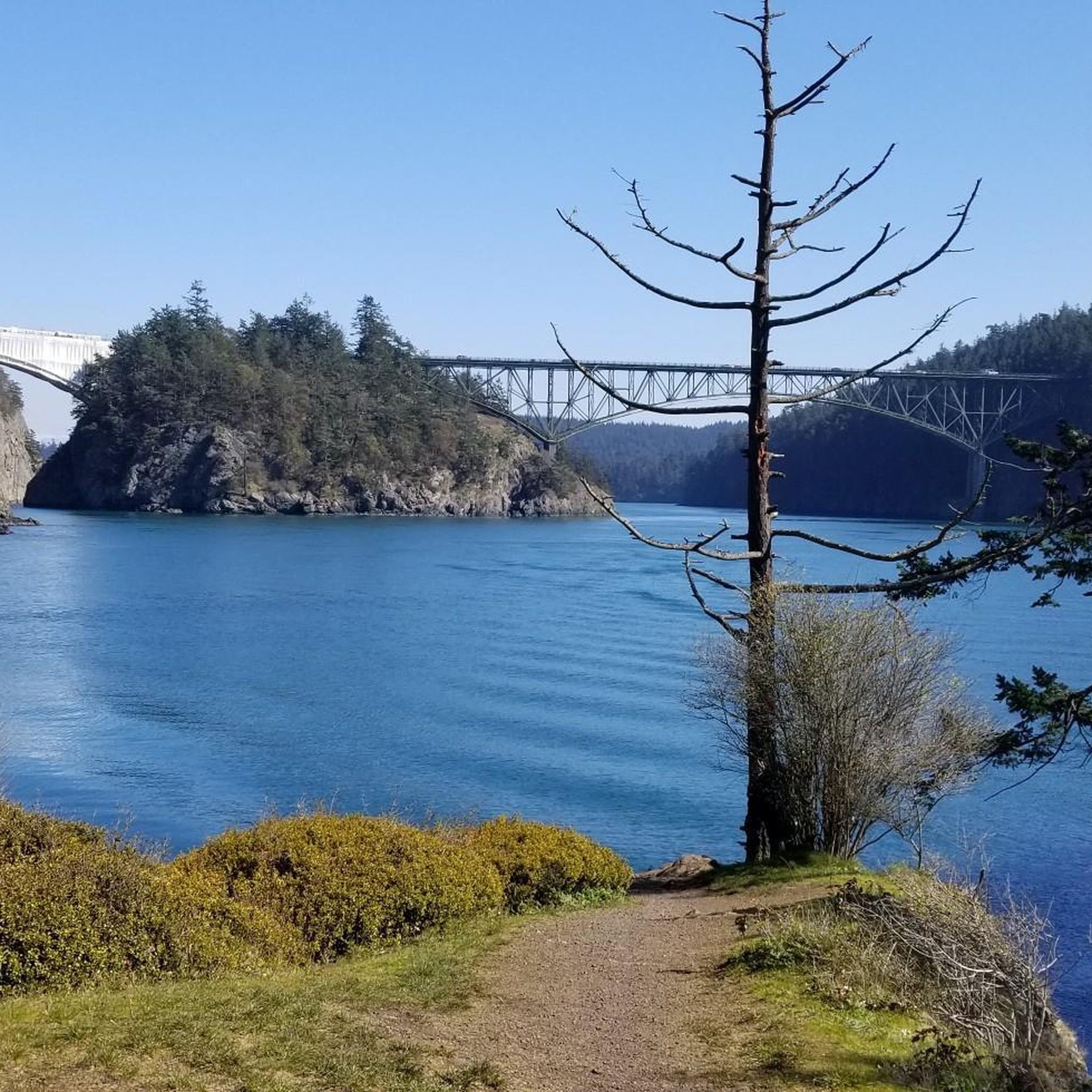
Mount Erie is the highest point on Fidalgo Island, topping out at 1,273 feet. The climb up is steep but paved, and the summit rewards you with big views. On clear days, you can spot Mount Baker to the northeast and Mount Rainier far off to the southeast. A solid goal for a road ride if you’re up for the challenge.
0
0

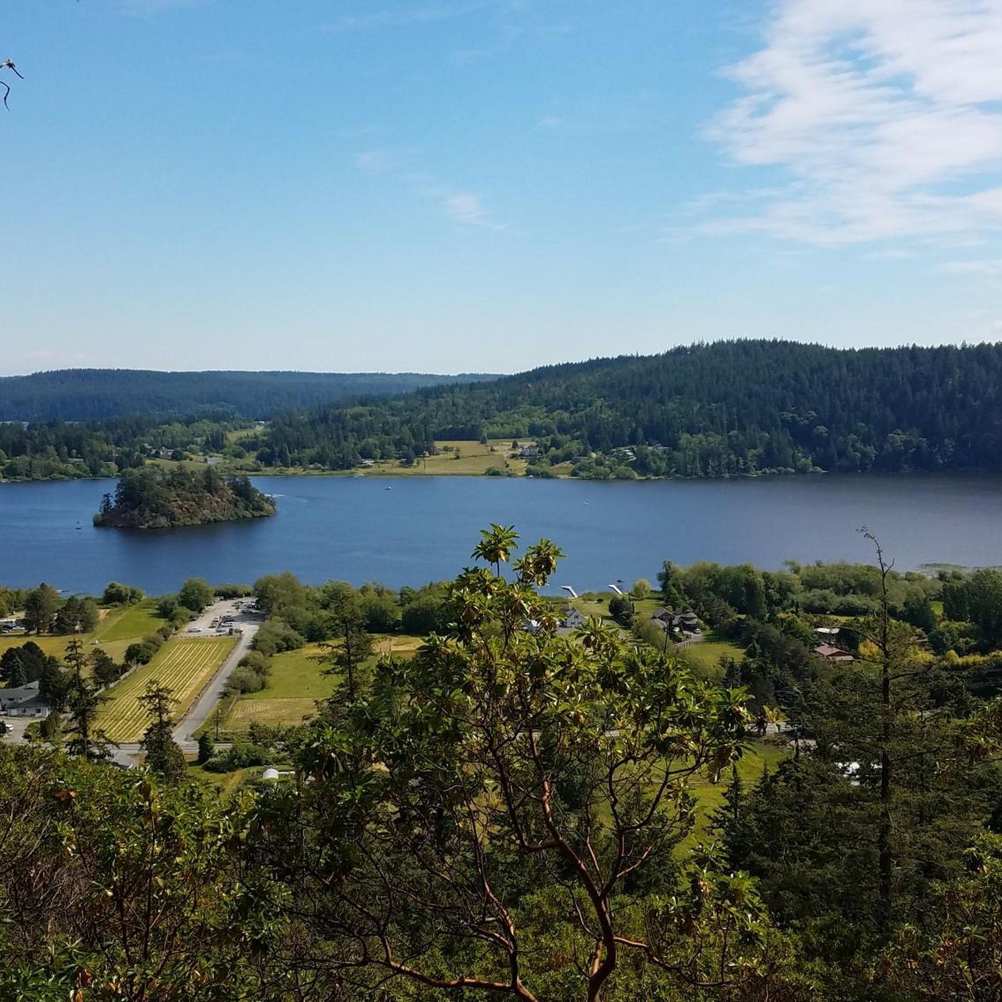
Roadside lake in the Anacortes Community Forest Lands. People fish, swim, hike and bike here. Maybe horsies too. May be tainted by toxic algae in the summer months - check before you swim or let your dog swim.
0
0

The path may test your mettle, but the vista from its peak is simply astounding. The views it bestows are genuinely breathtaking.
0
0
Mount Erie, the crowning jewel of Fidalgo Island, offers awe-inspiring vistas. In 1934, a benevolent act by local entrepreneur Gus Hensler gifted 120 acres around its summit. Hensler, the son of German immigrants, left an enduring legacy, laying his claim to this land in 1889.
0
0
A magnet for thousands, the lake's idyllic backdrop and diverse trails lure adventurers. Swim and fish in the serene waters, while cliffs beckon daring divers with heights up to 70 feet (ca. 21 m)!
0
0
A sanctuary for paddlers and anglers, but its true magic lies in the ancient forest enveloping it. This 60-acre heart-shaped lake invites all, offering an embrace of nature's grandeur with towering Douglas-firs and majestic red cedars.
0
0
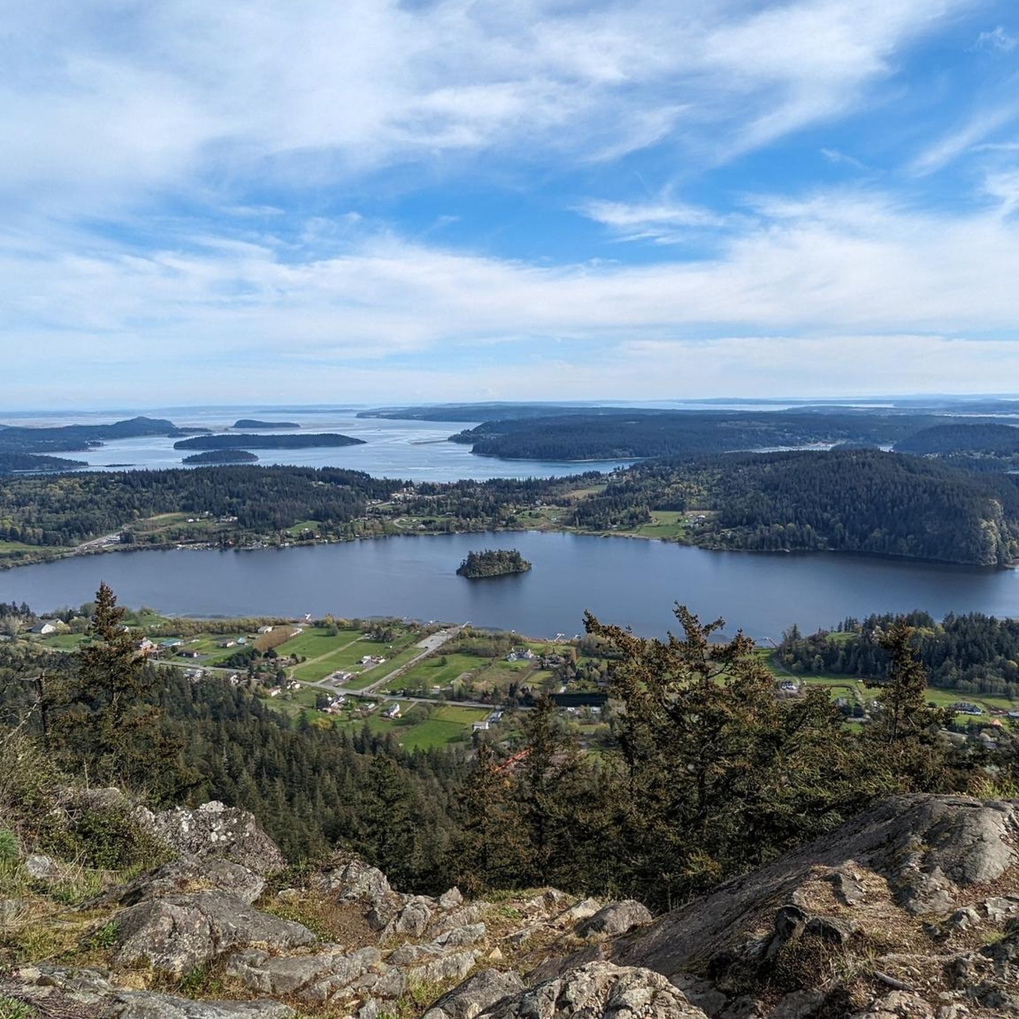
In 1841, Mount Erie earned its name from the Battle of Lake Erie. Explored by daring local climbers in the 1960s, it's famed for both rock climbing and its summit's breathtaking views. As Fidalgo Island's highest point at 1,273 feet, on clear days, one can behold Mount Baker to the northeast, a distant 43 miles away, and the majestic Mount Rainier to the southeast, an awe-inspiring 117 miles off.
0
0
Mount Erie, a mesmerizing place, gracefully beckons with its accessible path and reveals a multitude of breathtaking panoramas, where the tranquil grandeur of Lake Erie unfolds in all its splendid majesty.
0
0
Frequently Asked Questions
How many hiking trails are available in the Anacortes Community Forest Lands?
The Anacortes Community Forest Lands offer an extensive network of over 50 miles of trails. Our guide features 13 curated hiking routes, ranging from easy lakeside strolls to more challenging ascents to prominent peaks.
What types of terrain can I expect when hiking in the ACFL?
You'll find a diverse landscape, including forested hills, low mountains, and rocky cliffs. The trails wind through mixed second-growth forests, with some rare pockets of old-growth, alongside numerous lakes, ponds, and wetlands. Expect varied surfaces, from well-trodden paths to more rugged sections on higher elevations.
Are there any easy, family-friendly hikes in the Anacortes Community Forest Lands?
Yes, there are several easy trails suitable for families. For a pleasant lakeside experience, consider the Whistle Lake loop, which offers scenic views and gentle terrain. Another great option is the Heart Lake loop, providing an easy walk around the water.
What are the best trails for panoramic views?
For expansive views, routes that ascend to the higher peaks are ideal. The Sugar Loaf & Mount Erie loop takes you to prominent summits, offering breathtaking vistas of the surrounding area and beyond.
Can I bring my dog on the hiking trails?
Yes, the Anacortes Community Forest Lands are generally dog-friendly. Most trails welcome dogs, but they should be kept on a leash to protect wildlife and ensure a pleasant experience for all visitors. Always remember to pack out what you pack in.
What natural features or landmarks can I see along the trails?
The ACFL is rich in natural beauty. You can explore several picturesque lakes, such as Heart Lake and Whistle Lake. The area also features prominent peaks like Mount Erie and Sugarloaf, and diverse forest habitats with a mix of coniferous and deciduous trees. Keep an eye out for wildlife like deer, owls, and bald eagles.
Are there any circular hiking routes available?
Many of the trails in the ACFL are designed as loops, offering varied scenery without retracing your steps. Popular circular routes include the Whistle Lake loop and the Sugar Loaf & Mount Erie loop, providing excellent options for a complete hiking experience.
What do other hikers say about the trails in Anacortes Community Forest Lands?
The trails in Anacortes Community Forest Lands are highly regarded by the komoot community, holding an average rating of 4.9 stars from over 40 reviews. Hikers frequently praise the diverse terrain, well-maintained paths, and the stunning views from the higher elevations.
Is there parking available at the trailheads?
Yes, there are multiple access points and parking areas throughout the Anacortes Community Forest Lands. Specific parking information can often be found on detailed trail maps or at the start of popular trailheads. It's always a good idea to arrive early during peak times.
What is the best time of year to hike in the ACFL?
The Anacortes Community Forest Lands offer year-round hiking opportunities. Spring brings lush greenery and blooming wildflowers, while autumn showcases vibrant fall foliage. Summer is popular for its warmer weather, and even winter offers peaceful, often snow-free, forest walks. Always check local weather conditions before heading out.
Are there any challenging hikes for experienced hikers?
While there are no routes classified as 'difficult' in our guide, several moderate trails offer significant elevation gain and distance, providing a good challenge. The Sugar Loaf & Mount Erie loop, for example, involves over 360 meters of ascent, making it a rewarding option for those seeking a more strenuous outing.
Are there any trails that go around lakes?
Yes, several trails offer beautiful lakeside experiences. The Whistle Lake loop and the Heart Lake loop are excellent choices for walks that circle these scenic bodies of water, providing tranquil views and opportunities for wildlife spotting.
Most popular routes in Anacortes Community Forest Lands

Get inspired with the komoot mobile app


Explore more
Browse the best Hikes in other regions.
