The best walks and hikes in North Cowichan Municipal Forest Reserve
4.6
(122)
934
hikers
13
hikes
Hiking in North Cowichan Municipal Forest Reserve offers access to an extensive network of trails across more than 5,000 hectares. The reserve features diverse landscapes, including several prominent mountains such as Mount Prevost, Mount Tzouhalem, and Maple Mountain, which provide varied terrain and elevation. Dense forest ecosystems characterize much of the area, alongside features like the Chemainus River and Lower Banon Creek Falls. This environment supports a range of hiking experiences from gentle forest paths to more challenging mountain ascents.
…Last updated: August 28, 2026
4.8
(4)
25
hikers
9.93km
03:42
350m
350m
Moderate hike. Good fitness required. Mostly accessible paths. Sure-footedness required.
1.04km
00:18
30m
30m
Easy hike. Great for any fitness level. Easily-accessible paths. Suitable for all skill levels.

Sign up for free
4.9
(17)
177
hikers
3.31km
00:57
80m
80m
Easy hike. Great for any fitness level. Easily-accessible paths. Suitable for all skill levels.
5.0
(3)
21
hikers
5.19km
02:04
220m
230m
Moderate hike. Good fitness required. Mostly accessible paths. Sure-footedness required.
4.5
(4)
10
hikers
Moderate hike. Good fitness required. Mostly accessible paths. Sure-footedness required.
Get access to more routes and recommendations from other explorers.
Sign up for free
Already have an account?
Our route recommendations are based on thousands of hikes, rides, and runs completed by other people on komoot.
Start today with a free account
Your next adventure awaits.
Login or Signup
Popular around North Cowichan Municipal Forest Reserve
Tips from the Community

A rocky promontory rises above the trail and offers you a view over the treetops toward Mount Erskine and Vesuvius. This can make for a nice picnic spot if you are looking for a break before continuing along the mountainside.
0
0
The Yellow Trail follows the shoreline of Smith Bay and the Samsun Narrows as it winds along the north side of Maple Mountain. There are a few points on the trail, especially at the start, where you have beach access at low tide and can make your way down to the water to explore.
0
0
Looking across at Salt Spring, you can see Mount Erskine through the trees on your left and the lower headlands of the island straight across the water, where a few private residences are situated.
0
0

As you travel up, you will notice the road transitions from thick second-growth forest into rocky bluffs. The road is popular with mountain bikers and hang gliders, so stay alert.
0
0
As you reach ridge, you will immediately see two massive, tower-like stone monuments. These are war memorials built to honor local soldiers who served in World Wars I. Built in 1929, the impressive cairn was constructed using heavy stones gathered directly from the mountain side, allowing it to blend perfectly with the rugged landscape.
0
0
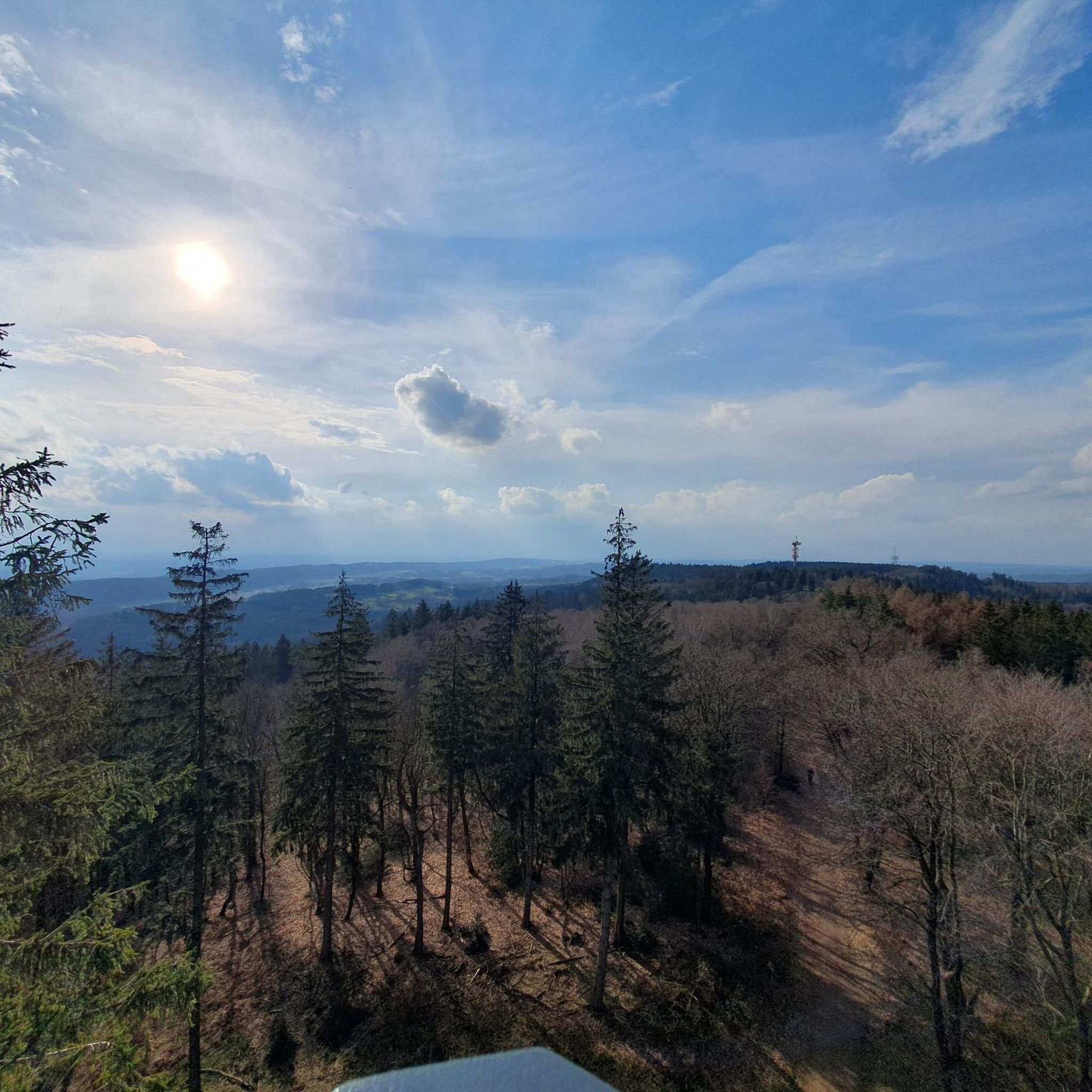
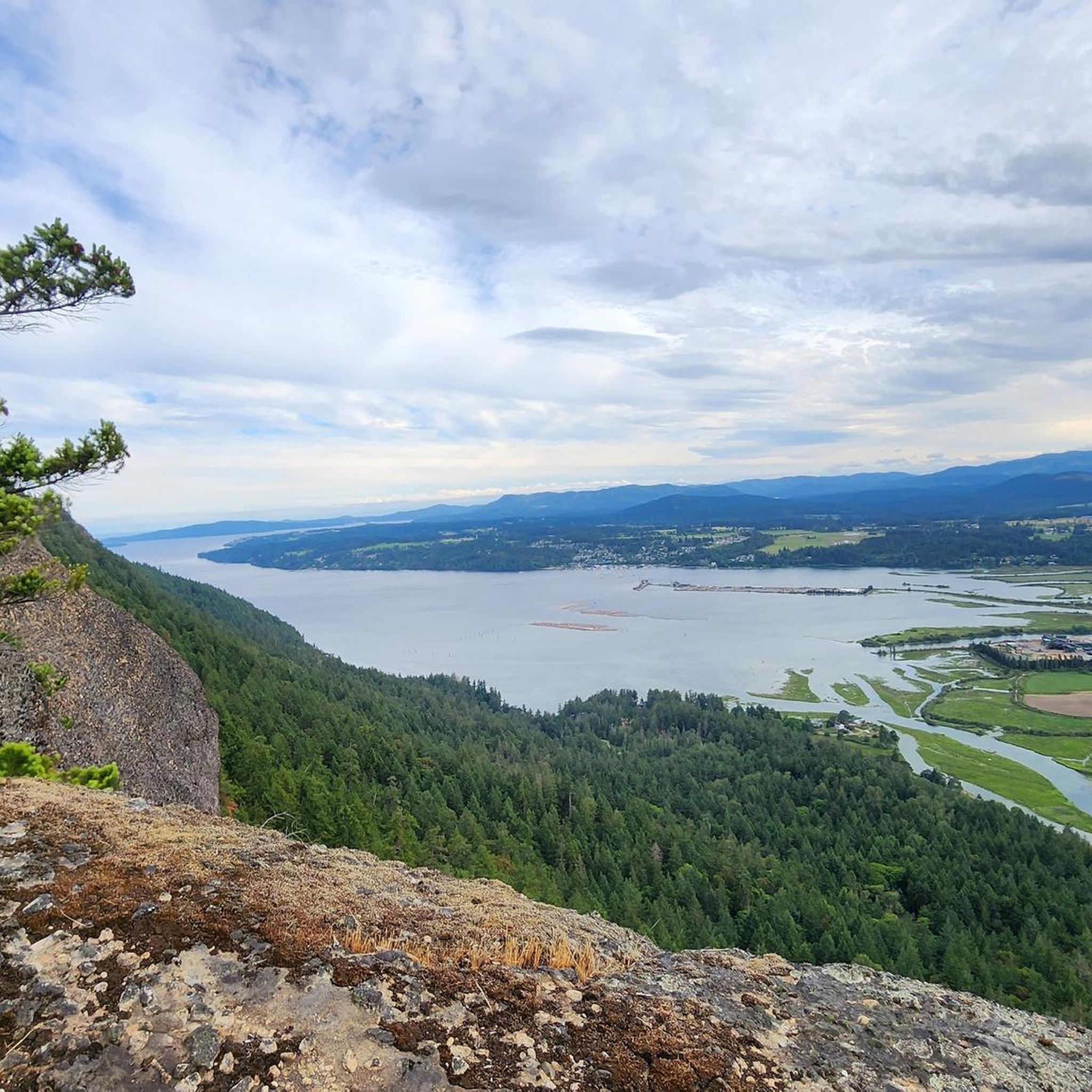
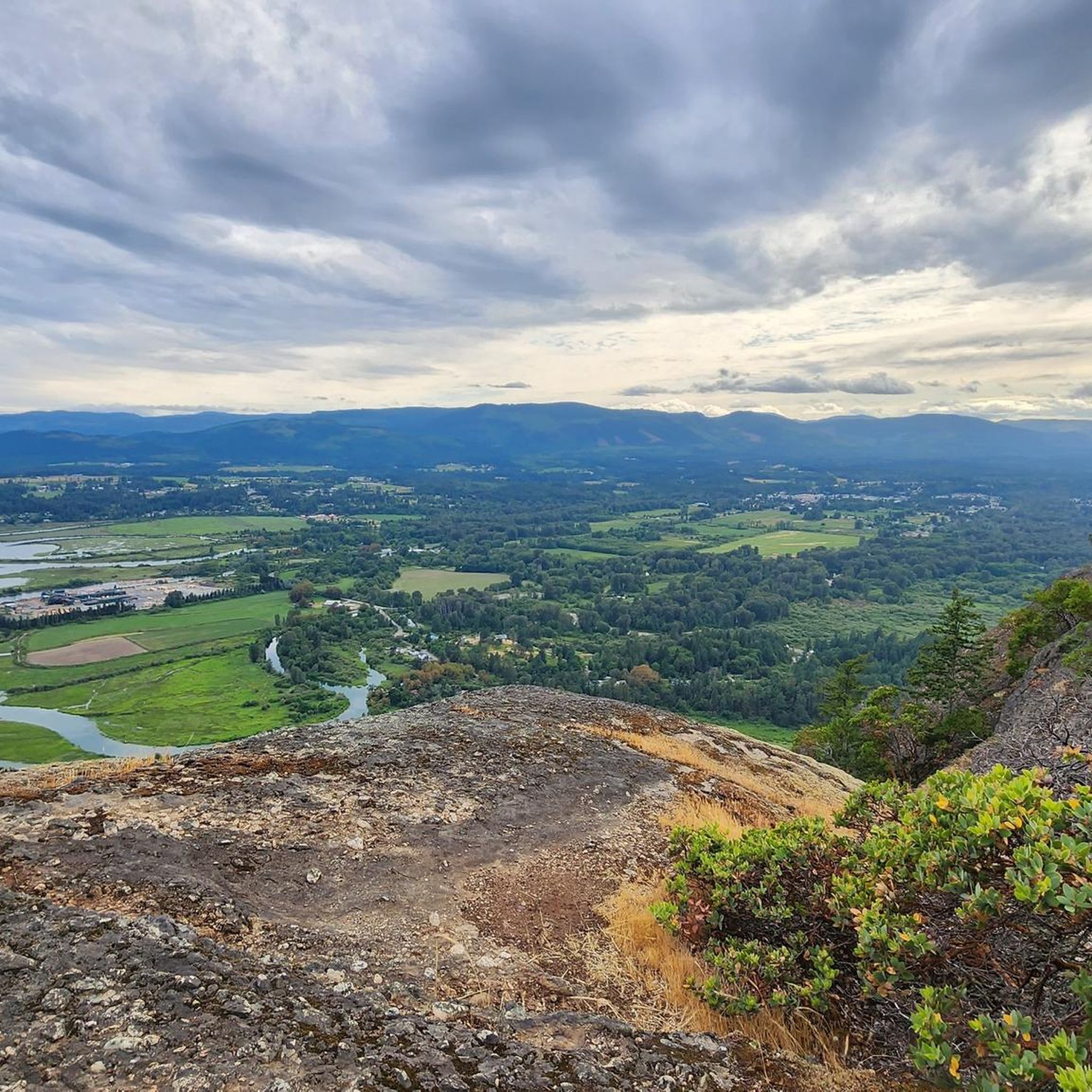
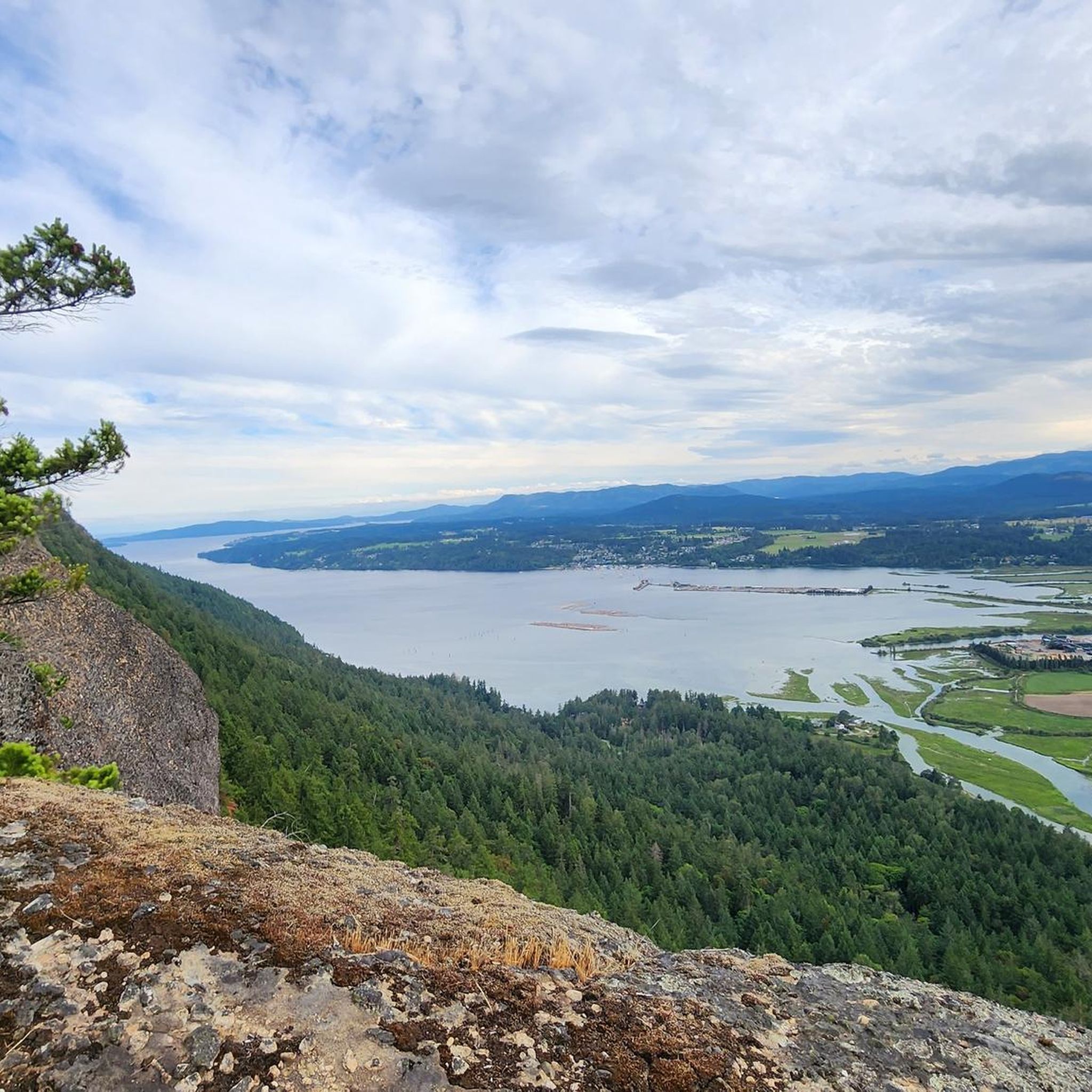
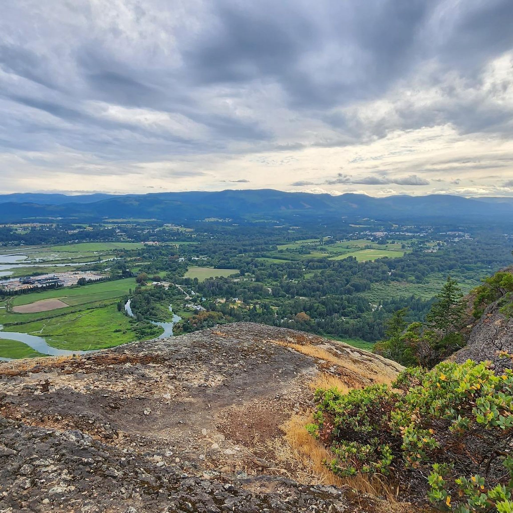
On a clear day, you can see the winding Cowichan River, the city of Duncan, and the blue water of the Salish Sea reaching toward the Gulf Islands.
0
0

Great hike but also a mountain bike trail so take care.
0
0

Hike the Rocky Mountain ridge for the best views
0
0
Frequently Asked Questions
How many hiking trails are available in the North Cowichan Municipal Forest Reserve?
The North Cowichan Municipal Forest Reserve offers an extensive network of over 95 kilometers of sanctioned trails. Komoot features 15 distinct hiking routes within the reserve, catering to various skill levels and preferences.
What types of terrain and difficulty levels can I expect on the trails?
The reserve features diverse terrain, from gentle forest paths to challenging mountain ascents. You'll find trails suitable for all abilities, including 4 easy routes, 9 moderate routes, and 2 more difficult options. The 'Six Mountains' (Mount Prevost, Mount Tzouhalem, Maple Mountain, Mount Sicker, Mount Richards, and Stoney Hill) offer varied elevation gains and rewarding views.
Are there any trails with panoramic viewpoints?
Yes, many trails lead to breathtaking panoramic views. From Maple Mountain, you can enjoy vistas over Maple Bay and towards Saltspring Island. Mount Tzouhalem and Mount Prevost also offer spectacular views over Maple Bay, Saltspring Island, and the snow-capped mainland Pacific Ranges. Consider the View of Salt Spring Island loop from Area D (Cowichan Bay) for expansive island views.
Are there any family-friendly hiking options?
Absolutely. The reserve has several easy trails perfect for families. The Stoney Hill – View of the Bay loop from Stoney Hill Trailhead is an easy 3.3 km route that takes about an hour, offering pleasant bay views. The Crofton Lake loop from North Cowichan Municipal Forest Reserve is another easy option, spanning about 5.8 km.
Can I bring my dog on the trails?
The North Cowichan Municipal Forest Reserve is generally dog-friendly, but specific regulations may apply to certain areas or trails. It's always best to keep your dog on a leash and ensure you clean up after them to preserve the natural environment for all visitors.
Are there any waterfalls or rivers to see?
Yes, the Grace Road area of the reserve, near Mount Sicker, provides access to the Chemainus River and the Lower Banon Creek Falls. This area also features a sandy beach, which is popular for swimming and picnicking during the summer months, adding a refreshing element to your hike.
What is the best time of year to go hiking in the reserve?
The North Cowichan Municipal Forest Reserve offers year-round hiking opportunities. Spring and fall provide pleasant temperatures and vibrant scenery, while summer is ideal for enjoying the Chemainus River and Lower Banon Creek Falls. Winter hiking is also possible, though some trails might be muddy or have slippery sections, so appropriate gear is recommended.
Are there any circular hiking routes available?
Yes, many trails in the reserve are designed as loops, allowing you to start and end at the same point without retracing your steps. Examples include the Tzouhalem Cross loop from Mount Tzuhalem Ecological Reserve, which leads through forested slopes to the iconic Tzouhalem Cross, and the Tzouhalem Cross – View of Cowichan Bay loop from Mount Tzuhalem Ecological Reserve.
What do other hikers say about the trails in North Cowichan Municipal Forest Reserve?
The trails in the North Cowichan Municipal Forest Reserve are highly regarded by the komoot community, boasting an average rating of 4.6 stars from nearly 100 reviews. Hikers frequently praise the well-maintained trails, diverse landscapes, and the rewarding panoramic views from the mountain summits.
Is there an app to help navigate the trails?
Yes, a 'North Cowichan Trails App' is available. This app can help you geolocate yourself, identify trails, and access descriptions and elevation profiles, enhancing your navigation and overall hiking experience within the reserve.
Are there specific parking areas for trail access?
The reserve is easily accessible via Highway 1, with numerous side roads leading to recreational areas and designated parking lots near trailheads. Specific parking information can often be found on individual trail descriptions or through the North Cowichan Trails App.
Can I use public transport to reach the trailheads?
Public transportation options, such as BC Transit's Cowichan Valley bus routes, may provide access to areas near the North Cowichan Municipal Forest Reserve. It's advisable to check current bus schedules and routes to determine the closest stops to your desired trailhead.
Are e-bikes allowed on the trails?
Non-motorized recreational uses are encouraged throughout the reserve. Specific allowances are made for Class 1 e-bikes, which are pedal-assist only. Always check local signage and regulations for any restrictions on particular trails.
Most popular routes in North Cowichan Municipal Forest Reserve
Most popular attractions in North Cowichan Municipal Forest Reserve

Get inspired with the komoot mobile app


Explore more
Browse the best Hikes in other regions.
