
The best road cycling routes in Mount Maxwell Ecological Reserve
4.4
(6)
188
riders
12
rides
Road cycling routes in Mount Maxwell Ecological Reserve offer a diverse range of experiences on Salt Spring Island, characterized by challenging ascents and panoramic views. The area, including the adjacent Mount Maxwell Provincial Park, features varied terrain from mostly paved roads to sections that can be unpaved and rough, suitable for experienced riders. Cyclists can expect significant elevation gains, leading through diverse ecosystems including Garry oak stands and Douglas-fir forests. While direct cycling within the Ecological Reserve is restricted, the…
Last updated: July 5, 2026
4.5
(2)
66
riders
Moderate road ride. Good fitness required. Mostly well-paved surfaces and easy to ride.
5.0
(1)
15
riders
25.1km
01:33
450m
450m
Moderate road ride. Good fitness required. Mostly well-paved surfaces and easy to ride.

Sign up for free
8
riders
17.9km
00:52
230m
230m
Easy road ride. Great for any fitness level. Mostly well-paved surfaces and easy to ride.
4
riders
Moderate road ride. Good fitness required. Some segments of this route may be unpaved and difficult to ride.
5
riders
28.4km
01:19
330m
330m
Moderate road ride. Good fitness required. Mostly well-paved surfaces and easy to ride.
Get access to more routes and recommendations from other explorers.
Sign up for free
Already have an account?
Our route recommendations are based on thousands of hikes, rides, and runs completed by other people on komoot.
Start today with a free account
Your next adventure awaits.
Login or Signup
Popular around Mount Maxwell Ecological Reserve
Frequently Asked Questions
How many road cycling routes are available in the Mount Maxwell area?
There are over 10 road cycling routes available around Mount Maxwell Ecological Reserve and the adjacent Provincial Park. These routes offer a diverse range of experiences, from easier loops to more demanding climbs.
What is the general difficulty level of road cycling routes around Mount Maxwell?
Road cycling routes in the Mount Maxwell area range from easy to difficult. While most are considered moderate, featuring significant elevation gains and challenging ascents, there is at least one easy route suitable for less experienced riders. The challenging climb to Baynes Peak, for instance, is a significant draw for experienced cyclists.
Are there any easy road cycling routes for beginners or less experienced riders?
Yes, for those seeking a less strenuous ride, the St. Mary Lake Beach loop from Grace Islet is an easy 17.9 km (11.1 miles) route that takes about 52 minutes to complete. It offers a pleasant ride through varied island landscapes.
What kind of terrain can I expect on road cycling routes near Mount Maxwell?
The terrain around Mount Maxwell is varied. While many routes feature mostly paved surfaces, some sections, particularly on the ascent to Baynes Peak, can be unpaved, rough, and include surface erosion, deep potholes, and exposed bedrock. These challenging sections are more suitable for experienced riders or those with gravel bikes.
What kind of views or landmarks can I expect to see while cycling near Mount Maxwell?
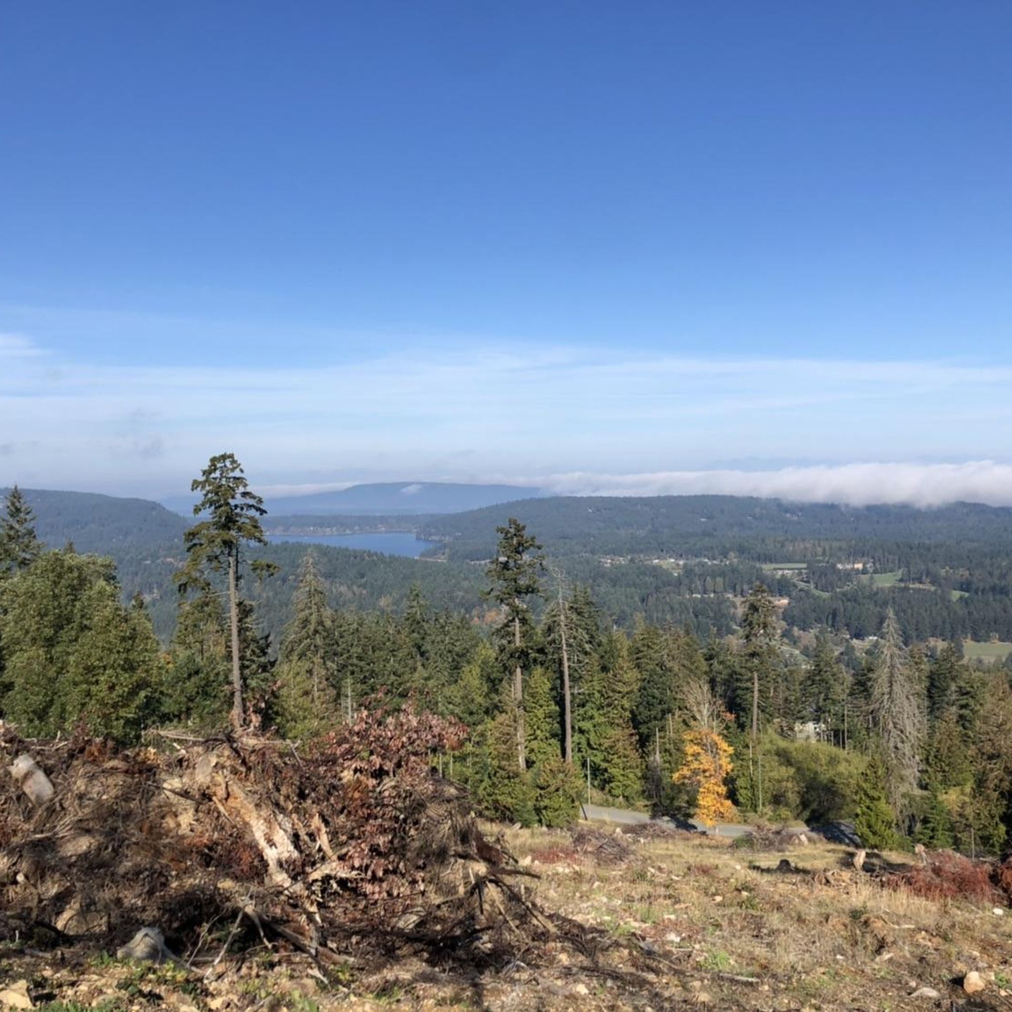
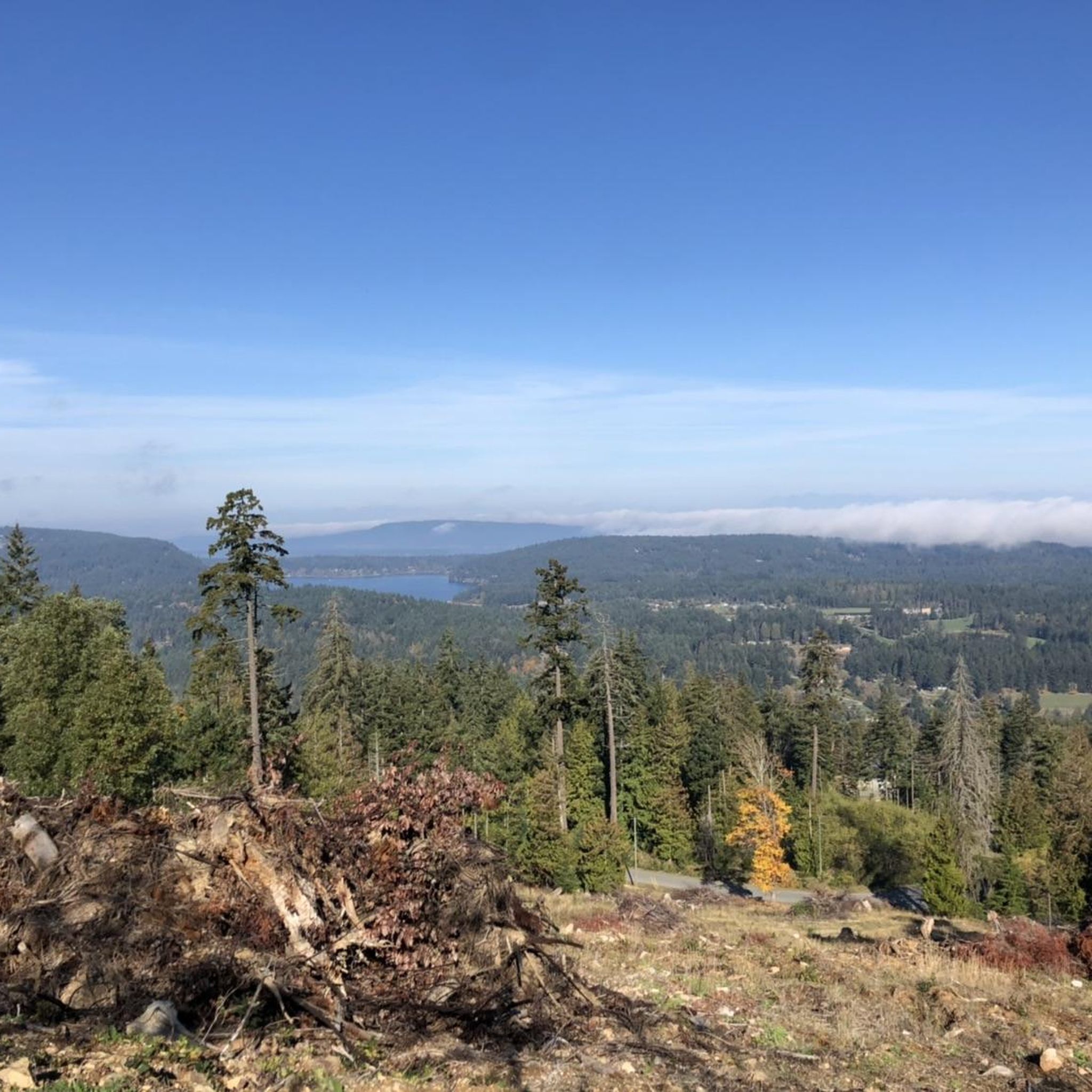
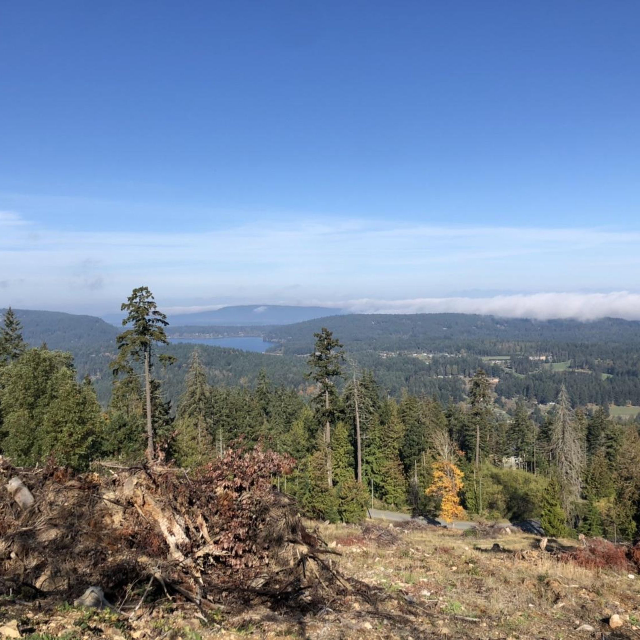
Cyclists can enjoy spectacular vistas from higher elevations, especially from Baynes Peak, the highest point on Salt Spring Island. These views encompass Vancouver Island, the surrounding Gulf Islands, the British Columbia mainland, Mount Baker, the San Juan Islands, and even the Olympic Mountains' Hurricane Ridge. The routes also pass through diverse ecosystems, including Garry oak stands and Douglas-fir forests.
Is cycling permitted directly within Mount Maxwell Ecological Reserve?
Direct cycling within the Mount Maxwell Ecological Reserve itself is restricted, as its primary role is conservation and protection of natural ecosystems. However, the surrounding roads and the adjacent Mount Maxwell Provincial Park are popular for cycling, providing access to the area's natural beauty and challenging ascents.
Are there any family-friendly road cycling options on Salt Spring Island near Mount Maxwell?
While many routes in the immediate Mount Maxwell area feature significant climbs, Salt Spring Island offers various road cycling loops. For family-friendly options, consider routes with less elevation gain and smoother paved surfaces. The St. Mary Lake Beach loop from Grace Islet is an easier route that might be suitable for families.
What is the best time of year for road biking in the Mount Maxwell area?
The Mount Maxwell area is generally enjoyable for road cycling during the drier months. Spring and fall offer pleasant temperatures and vibrant scenery. While winter cycling is possible, be aware that some unpaved sections can become rougher or muddier with wet weather, and road conditions on the ascent to Baynes Peak can be challenging.
Are there any dog-friendly cycling routes or policies in the Mount Maxwell area?
While the Ecological Reserve has strict conservation rules, the adjacent Provincial Park and surrounding roads may have different policies. One route, the Somenos Dog Park loop from Quamichan Lake Airport, is a moderate 28.8 km (17.9 miles) ride that passes by a dog park, suggesting areas where dogs might be accommodated. Always check local regulations for specific dog policies on trails and roads.
Where can I find parking for road cycling near Mount Maxwell?
Parking is typically available at various access points to the Provincial Park and surrounding road networks. For routes starting in Ganges, such as the Walker Hook loop from Ganges, you can often find parking within the town or at designated trailheads. Always check specific starting points for parking availability.
What do other road cyclists enjoy most about road cycling in the Mount Maxwell area?
The Mount Maxwell area is highly rated by the komoot community, with an average score of 4.4 stars. Reviewers often praise the challenging ascents that lead to magnificent panoramic views of the Gulf Islands and surrounding landscapes. The diverse ecosystems and varied terrain also contribute to a rewarding cycling experience.
Are there any loop trails for road cycling in the Mount Maxwell area?
Yes, many of the road cycling routes around Mount Maxwell are designed as loops, allowing you to start and finish at the same point. Examples include the Walker Hook loop from Ganges and the Lake Weston loop from Kanaka Road Park Reserve No. 1, offering convenient circular rides.
Most popular routes in Mount Maxwell Ecological Reserve

Get inspired with the komoot mobile app


Explore more
Browse the best Road cycling routes in other regions.
