The best walks and hikes in Fraser River Delta -- Ramsar
4.7
(113)
3,223
hikers
193
hikes
Hiking in Fraser River Delta -- Ramsar offers diverse ecosystems and rich wildlife across its 20,682-hectare complex in British Columbia. The region features estuarine marshes, mudflats, floodplains, sloughs, river channels, and a globally unique raised bog. This varied landscape provides accessible trails suitable for exploring its natural features and abundant birdlife.
Best hiking trails in Fraser River Delta -- Ramsar
- The most popular hiking route is Iona Jetty Trail, a 5.0 miles (8.1 km) trail that takes 2 hours…
Last updated: June 28, 2026
4.3
(3)
102
hikers
8.10km
02:02
0m
0m
Hike the Iona Jetty Trail, a 5.0-mile flat route in Iona Beach Regional Park, offering panoramic views and excellent wildlife spotting.
5.0
(1)
18
hikers
3.64km
00:55
0m
0m
Hike the easy 2.3-mile Serpentine Wildlife Management Area loop in Surrey, BC, known for birdwatching and scenic wetland views.

Sign up for free
18
hikers
4.94km
01:17
30m
30m
Easy hike. Great for any fitness level. Easily-accessible paths. Suitable for all skill levels.
13
hikers
6.60km
01:40
10m
10m
This easy 4.1-mile loop in Iona Beach Regional Park offers panoramic ocean views, birdwatching, and unique plane spotting opportunities.
10
hikers
10.3km
02:36
10m
10m
Moderate hike. Good fitness required. Easily-accessible paths. Suitable for all skill levels.
Get access to more routes and recommendations from other explorers.
Sign up for free
Already have an account?
Our route recommendations are based on thousands of hikes, rides, and runs completed by other people on komoot.
Start today with a free account
Your next adventure awaits.
Login or Signup
Tips from the Community

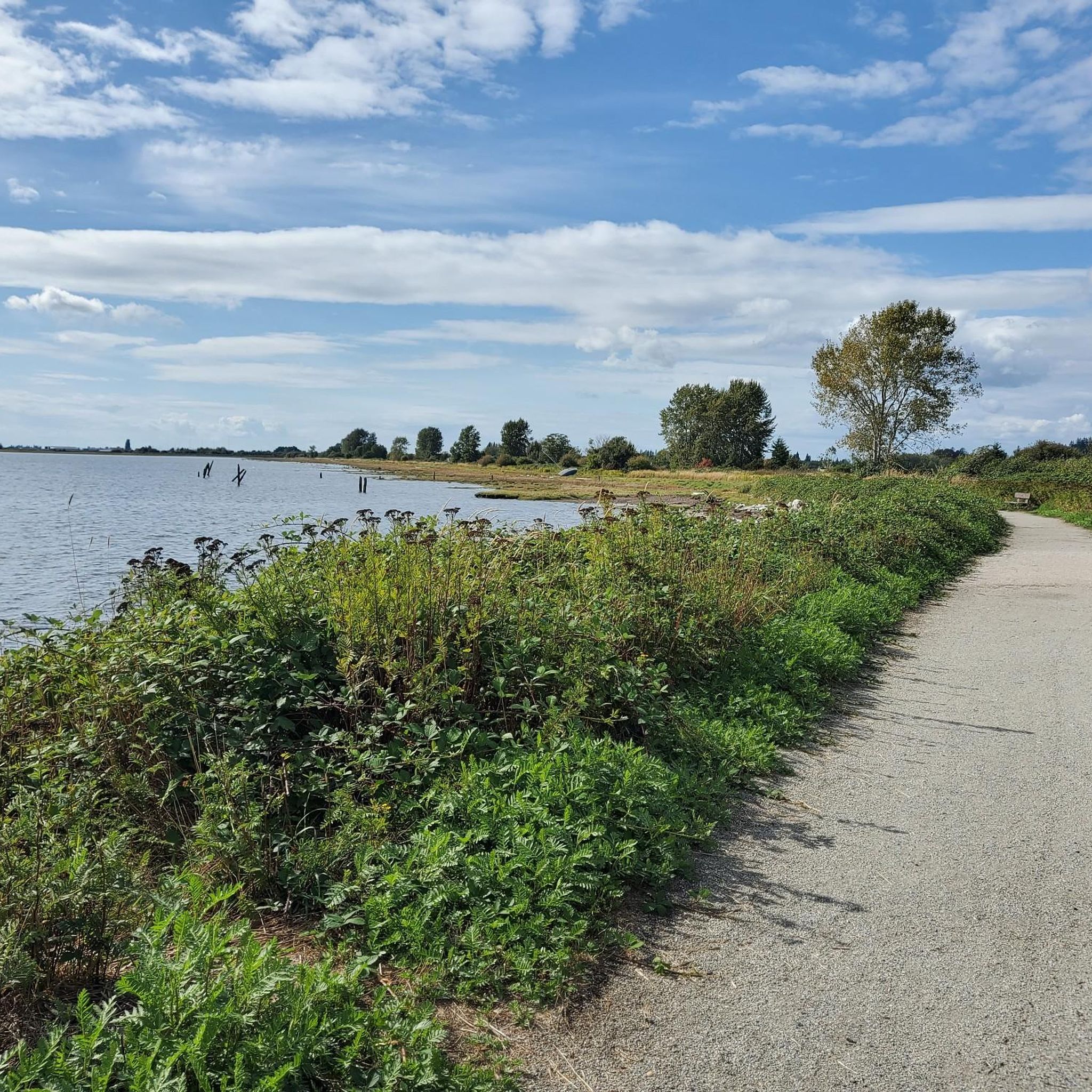
The Nicomekl Greenway is a well kept, multi-use trail that traces the banks of its namesake river. The path is mostly flat and is a good option for families or other groups of mixed ability levels.
0
0
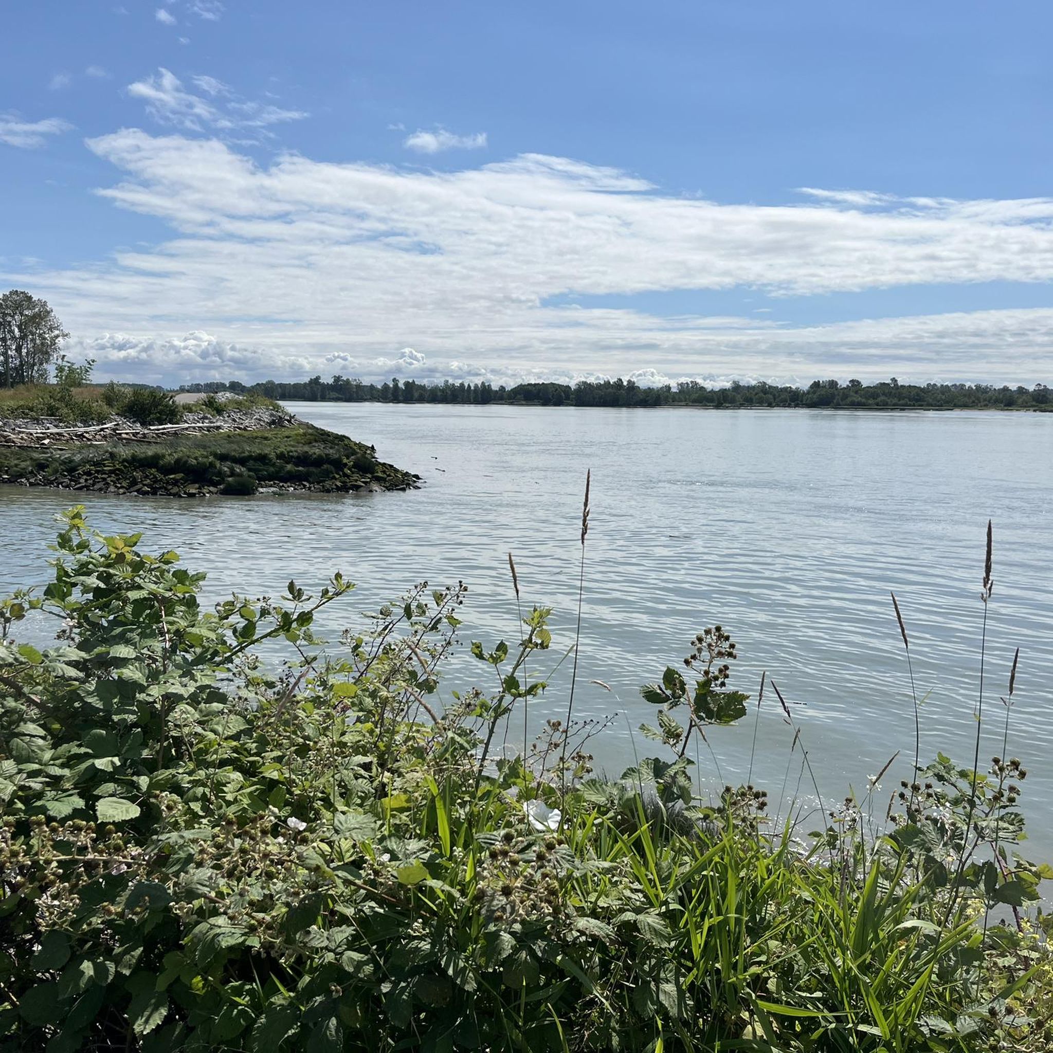
This spot along the Nicomekl Greenway gives you a great view over the river to the opposite bank. It's a tranquil spot on the edge of a golf course with plenty of greenery around you.
0
0
This 5.5-kilometer multi-use trail follows along the middle arm of the Fraser River and passes through or by a number of parks, sculpture gardens, and viewpoints. It also connects with the West Dyke Trail at its western end if you're looking to do a longer excursion.
0
0

You can find a mix of flat gravel trails connecting a boardwalk and wildlife viewing area, community garden, playground and restrooms. The small spiral trail up a low hill on the west side of the park is a great spot from which to watch the sunset.
1
0

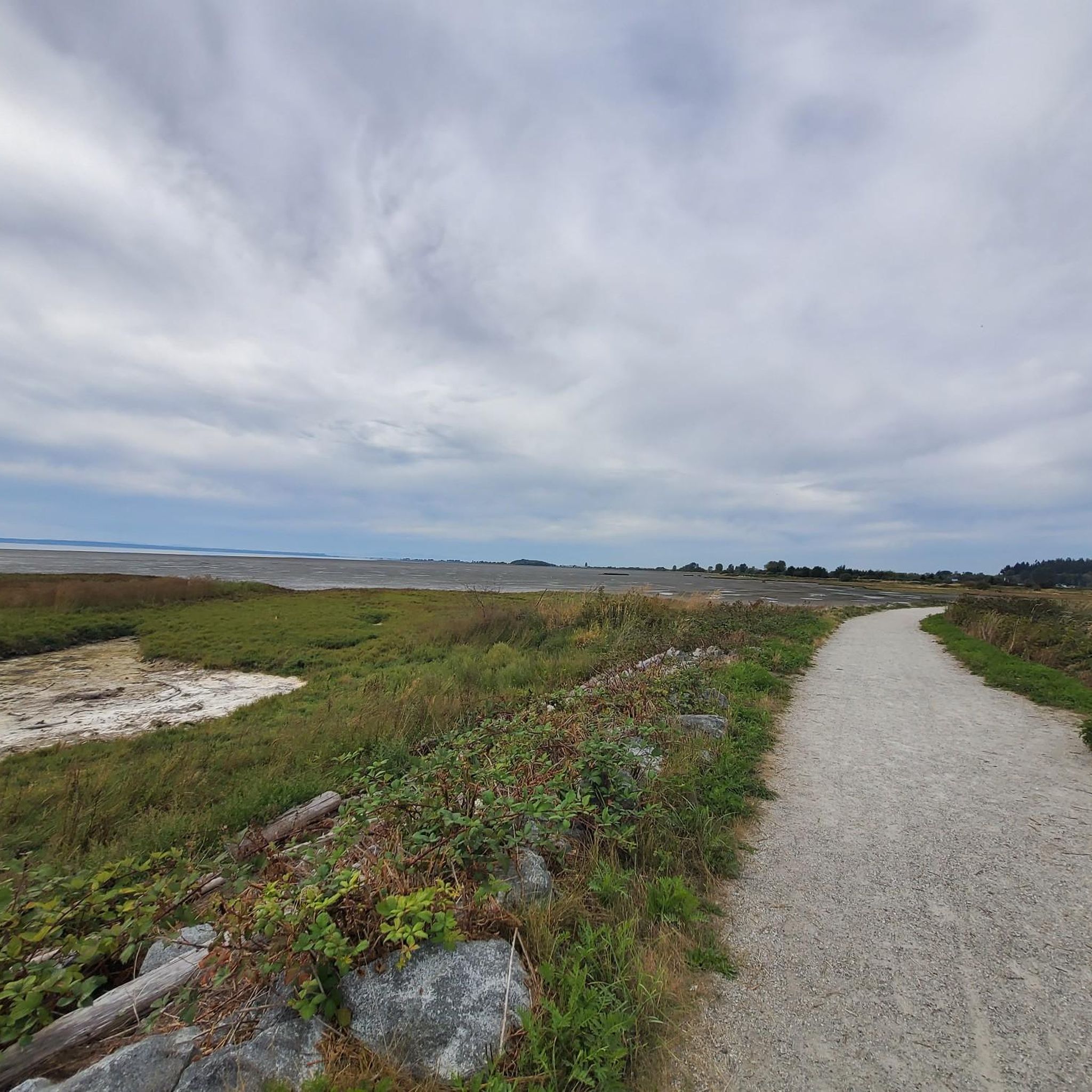
This is a great spot to take in the views of the Pacific Ocean. There are public restrooms, water fountains, and picnic tables.
0
0
There are a few lookout towers dotted around the perimeter of the Serpentine Wildlife Management Area. At the right time you can see a dizzying array of birds and other wildlife here.
0
0
The Serpentine Wildlife Management Area provides important habitat for many species that rely on the waters of the Serpentine River. There is a loop trail around the area that provides get opportunities for bird and wildlife watching.
0
0
Running a short 35 kilometers the Serpentine River start in North Surrey, BC and takes its short course to Mud Bay. It flows through the city of Surrey passing through parks and has trails that follow it along the way to the bay.
0
0
Frequently Asked Questions
How many hiking trails are available in Fraser River Delta -- Ramsar?
There are over 180 hiking trails in the Fraser River Delta -- Ramsar region. These routes offer diverse experiences, from easy strolls through wetlands to moderate paths with scenic views.
What kind of hiking difficulty can I expect in Fraser River Delta -- Ramsar?
The Fraser River Delta -- Ramsar offers a range of hiking experiences. Most trails are considered easy, with over 130 routes suitable for all fitness levels. There are also more than 50 moderate trails for those seeking a bit more challenge, and a few difficult options.
Are there family-friendly hiking options in Fraser River Delta -- Ramsar?
Yes, many trails in the Fraser River Delta -- Ramsar are suitable for families. The region is known for its accessible paths and flat terrain, making it ideal for leisurely walks. For example, the Serpentine Wildlife Management Area loop is an easy, short trail perfect for a family outing with opportunities for birdwatching.
Can I bring my dog on the hiking trails in Fraser River Delta -- Ramsar?
Many trails in the Fraser River Delta -- Ramsar are dog-friendly, though specific regulations may vary by park or management area. It's always best to check local signage or park websites for the most current rules regarding leashes and restricted areas. Generally, trails like those in Deas Island Regional Park offer open spaces suitable for walks with your canine companion.
What are the best places for birdwatching while hiking in the Delta?
The Fraser River Delta -- Ramsar is an internationally significant site for birdwatching. Excellent spots include the Iona Jetty Trail, which offers panoramic ocean views and birdwatching opportunities, and the Serpentine Wildlife Management Area loop, known for its scenic wetland views. Boundary Bay and the Alaksen National Wildlife Area are also prime locations, especially during migratory seasons.
Are there any circular walks in Fraser River Delta -- Ramsar?
Yes, the region offers several circular walking routes. The Iona Beach Trail loop is a popular option, leading through coastal areas. The Serpentine Wildlife Management Area loop also provides an easy, scenic circular path.
What unique natural features can I explore in Fraser River Delta -- Ramsar?
The Fraser River Delta -- Ramsar is home to several unique natural features. Most notably, you can explore Burns Bog, North America's largest undeveloped raised bog ecosystem, which features distinctive flora and diverse wildlife. The region also boasts extensive estuarine marshes, mudflats, and river channels, providing unique wetland scenery.
What landmarks or points of interest can I see near the hiking trails?
While hiking in the Fraser River Delta -- Ramsar, you can discover several interesting landmarks and points of interest. These include the historic White Rock Pier and Waterfront, the Delta Heritage Air Park, and the Terra Nova Cannery and Sea Island Japanese Community History site. You might also visit Iona Beach or the tranquil Eagle's Nest Labyrinth.
Is public transport available to access hiking areas in Fraser River Delta -- Ramsar?
Public transport options to access hiking areas in Fraser River Delta -- Ramsar vary by specific location. Major parks like Iona Beach Regional Park and Deas Island Regional Park are often accessible via local transit routes, though some more remote areas may require a car. It's advisable to check TransLink schedules and routes for your specific destination.
What do other hikers enjoy most about hiking in Fraser River Delta -- Ramsar?
The area is highly rated by the komoot community, with an average score of 4.7 stars from over 100 reviews. Reviewers often praise the region's diverse ecosystems, abundant wildlife (especially birdwatching opportunities), and the accessibility of its trails, which offer panoramic ocean and river views.
What is the best time of year to hike in Fraser River Delta -- Ramsar?
The Fraser River Delta -- Ramsar offers enjoyable hiking year-round, but the best time often depends on your interests. Spring and fall are excellent for birdwatching due to migratory patterns. Summer provides pleasant weather for longer walks, while winter offers unique opportunities to observe overwintering bird species, though some trails might be wet.
Are there cafes or pubs near the hiking trails in Fraser River Delta -- Ramsar?
While many trails are in natural, undeveloped areas, you can find cafes and pubs in the nearby communities surrounding the Fraser River Delta -- Ramsar. Areas like Ladner, Steveston, and White Rock offer various dining options and services within a short drive of many trailheads, perfect for a post-hike refreshment.
Most popular routes in Fraser River Delta -- Ramsar
Most popular attractions in Fraser River Delta -- Ramsar

Get inspired with the komoot mobile app


Explore more
Browse the best Hikes in other regions.
