The best road cycling routes in Alaksen National Wildlife Area
4.5
(22)
458
riders
14
rides
Road cycling in Alaksen National Wildlife Area and the surrounding Fraser River Delta region offers routes characterized by flat terrain and minimal elevation gain. The area is an integral part of the Fraser River Delta ecosystem, featuring estuarine environments, remnant wetlands, and agricultural fields. While cycling is restricted on designated trails within the wildlife area itself, the broader Westham Island provides well-paved surfaces suitable for road cycling. These routes offer views of the natural features and agricultural landscapes of the region.
Best road cycling routes in Alaksen National Wildlife Area
- The most popular road cycling route is Gulf of Georgia Cannery loop from Gulf of Georgia Cannery National Historic Site, an 8.8 miles (14.1 km) easy trail that takes about 34 minutes to complete, offering views of the historic cannery and coastal areas.
- Another top favourite among local road cyclists is Steveston Channel – Woodward's Landing Park loop from Britannia Shipyards National Historic Site, an easy 14.0 miles (22.5 km) path. This route provides scenic views across the Fraser River and past historic shipyards.
- Local road cyclists also love the Roadbike loop from Hugh Boyd Secondary School, a 5.3 miles (8.5 km) trail leading through local residential and agricultural areas, often completed in about 21 minutes.
- Road cycling in Alaksen National Wildlife Area is defined by the Fraser River Delta, agricultural fields, and estuarine environments. The network offers options for easy and moderate ability levels.
- The routes in Alaksen National Wildlife Area are highly rated by the komoot community with an average score of 4.5 stars from 18 reviews. More than 450 road cyclists have used komoot to explore Alaksen National Wildlife Area's varied terrain.
Last updated: July 9, 2026
9
riders
Easy road ride. Great for any fitness level. Mostly well-paved surfaces and easy to ride.
5.0
(3)
52
riders
Easy road ride. Great for any fitness level. Mostly well-paved surfaces and easy to ride.

Sign up for free
5.0
(1)
6
riders
8.59km
00:22
10m
10m
Easy road ride. Great for any fitness level. Mostly well-paved surfaces and easy to ride.
5
riders
Easy road ride. Great for any fitness level. Mostly well-paved surfaces and easy to ride.
8
riders
Moderate road ride. Good fitness required. Mostly well-paved surfaces and easy to ride.
Get access to more routes and recommendations from other explorers.
Sign up for free
Already have an account?
Our route recommendations are based on thousands of hikes, rides, and runs completed by other people on komoot.
Start today with a free account
Your next adventure awaits.
Login or Signup
Popular around Alaksen National Wildlife Area
Tips from the Community

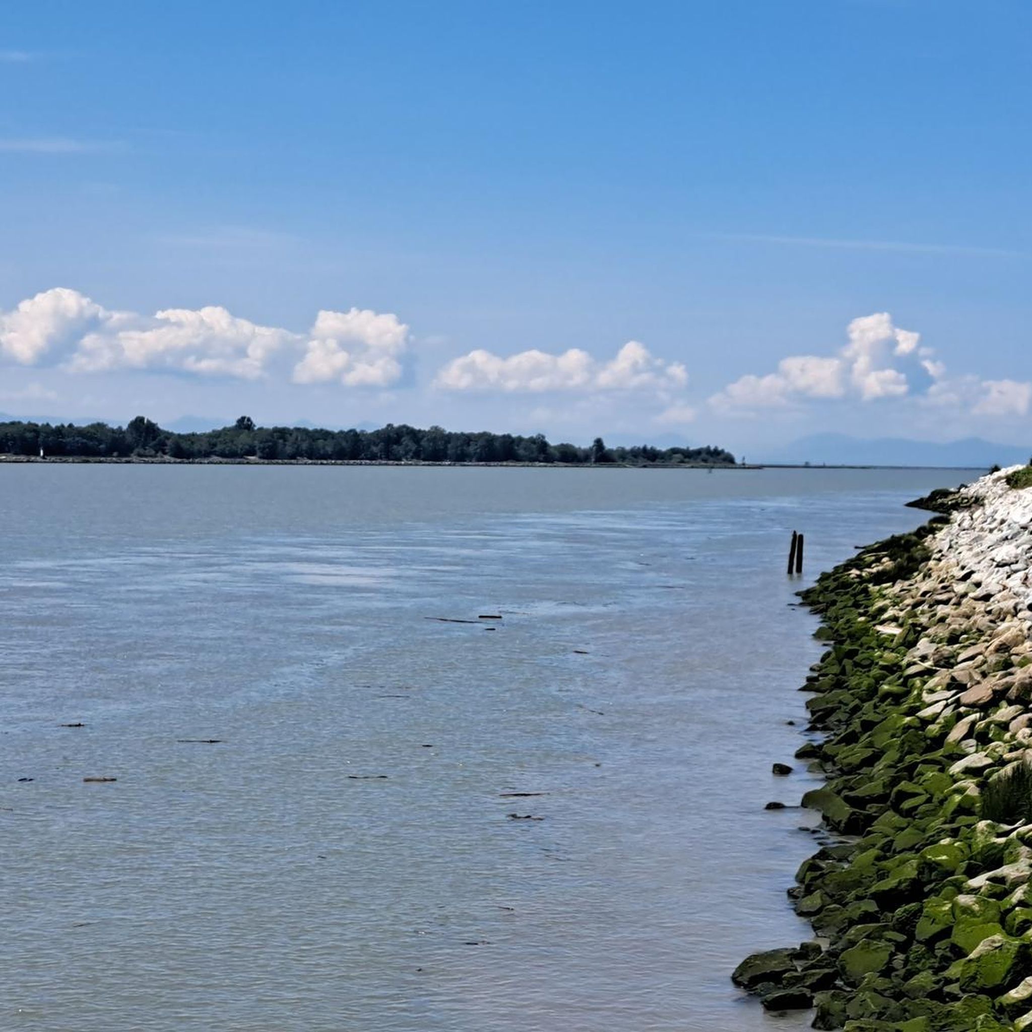
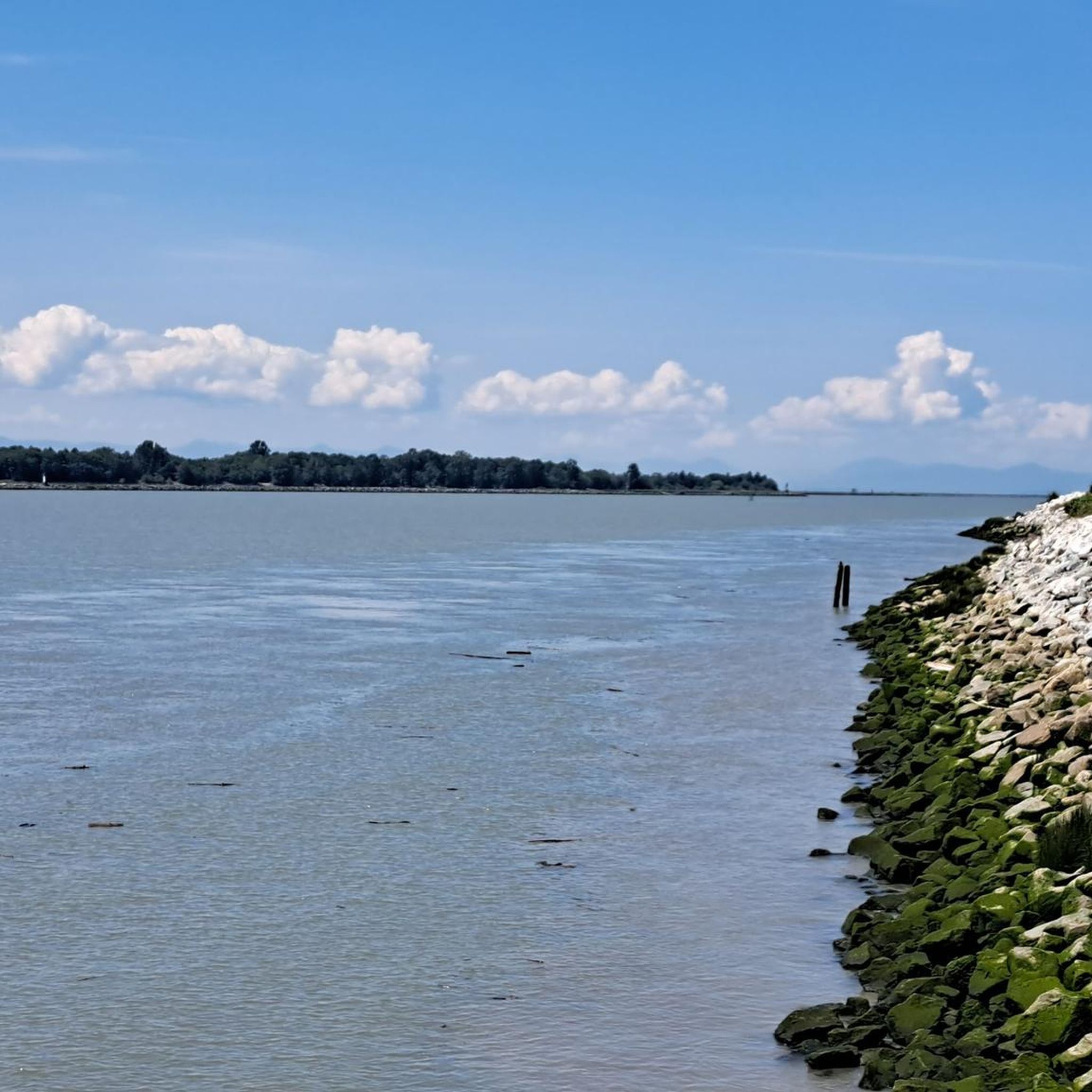
The Railway Greenway is built on the former Lulu Island route of the BC Electric Railroad, which ran from 1905 to 1958. Today, this greenway stretches 5 kilometres from the Britannia Shipyards to where it meets the Middle Arm Dyke Recreational Trail. Along the route, there is a bike pump track, public bathrooms, drinking fountains, community gardens, and bike racks.
0
0
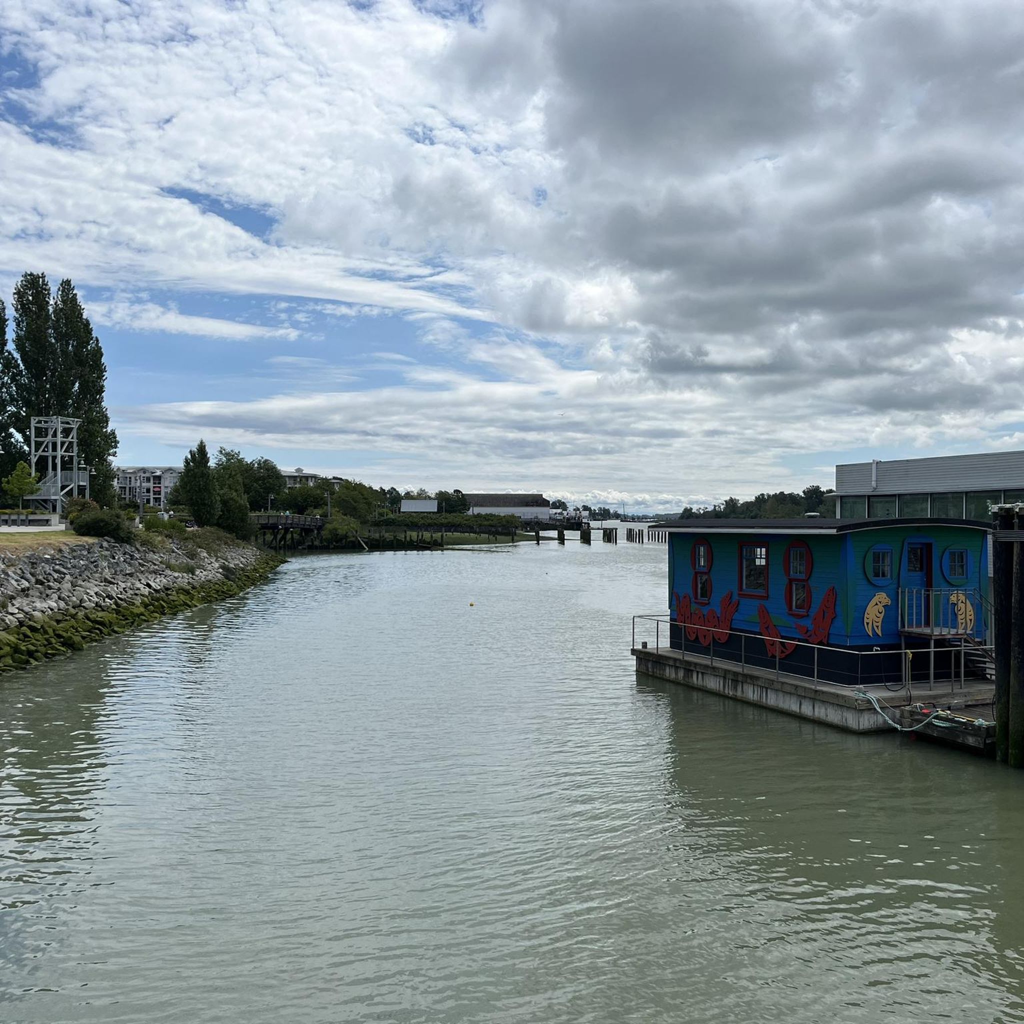
This historic site sits right on Richmond's Steveston waterfront, and entrance is free. It's a glimpse back in time to the 1880s community of canneries, boatyards, and homes. These buildings tell the stories of the Chinese, European, First Nations, and Japanese labourers. Visitors can explore the Seine Net Loft, Murakami House, Richmond Boat Builders, the Britannia Shipyard building, stilt houses, and the Chinese Bunkhouse.
0
0
The Railway Granville Bike Park is centred around a pump track, which is great for kids and beginner bikers. The track is paved with coloured lines that are easy to follow and keep bike traffic flowing safely. This park has benches, a water fountain, street parking but minimal shade, and no restroom. Restrooms can be found across the street at the Thompson Community Centre.
0
0

Excellent cyclist-friendly café with large, road-bike friendly bike racks, good coffee, nice pastries, and friendly service. Both indoor and outdoor seating available.
1
0

London Farm, located at 6511 Dyke Road, Richmond, BC, is a 4-acre historical site along the Fraser River, showcasing rural life from 1880 to 1930. It features a restored 1898 Edwardian farmhouse with period furnishings, heritage gardens, a reconstructed barn, antique farm equipment, a chicken coop, beehives, and community gardens. Operated by the City of Richmond and the London Heritage Farm Society, it offers free entry, a tearoom, gift shop, and events like the Mother’s Day Plant Sale. The grounds are open daily from dawn to dusk, with farmhouse hours from May to December (Thursday-Sunday, 10 am-5 pm in summer; weekends 10 am-3 pm in fall).
0
0

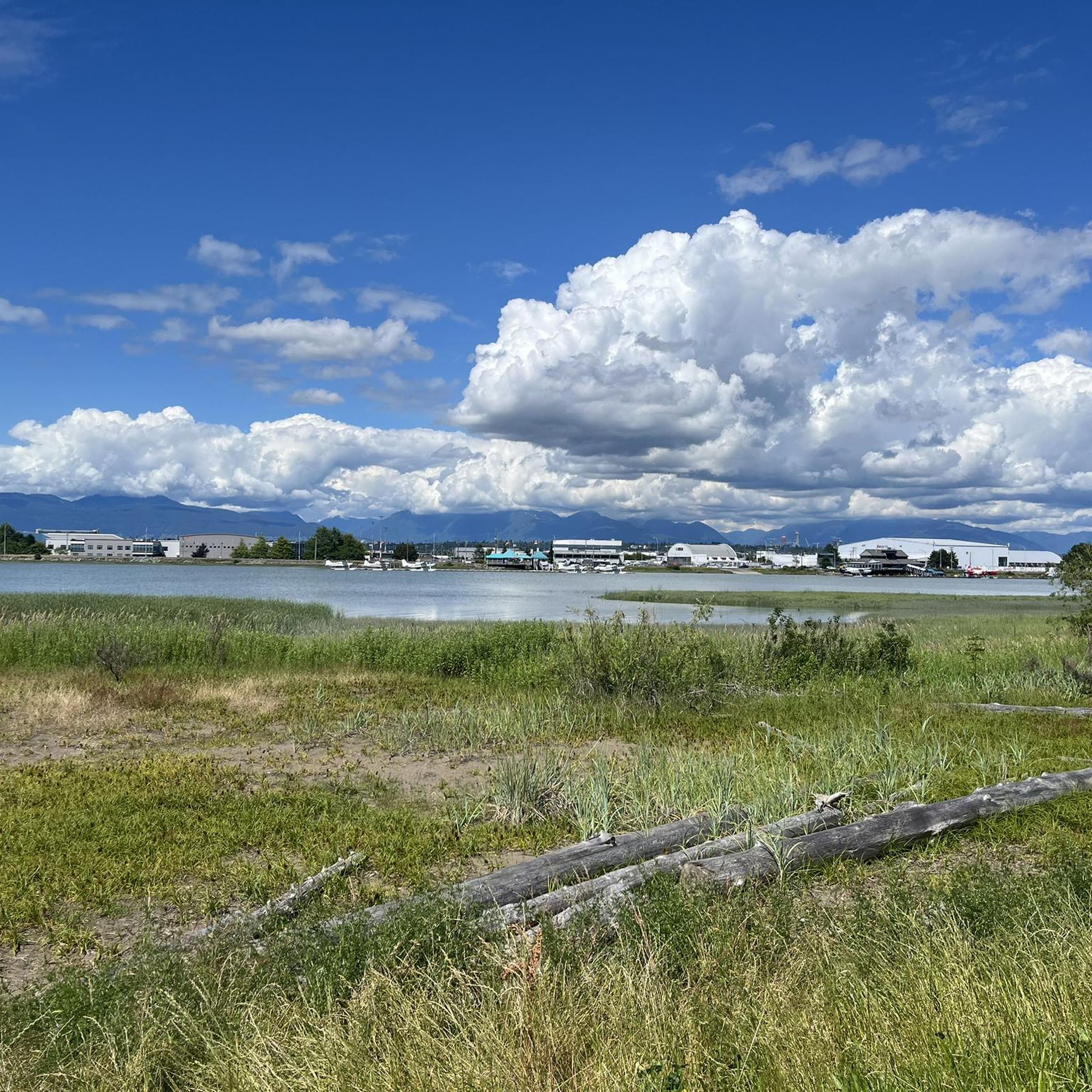
Follow the signs to Garry Point (view point) to discover the secret boating entrance into Scotch Pond.
0
0
Frequently Asked Questions
How many road cycling routes are available in the Alaksen National Wildlife Area region?
There are 15 road cycling routes available in the Alaksen National Wildlife Area region. These routes offer a mix of easy and moderate difficulty levels, with 9 easy routes and 6 moderate routes.
What is the typical terrain like for road cycling around Alaksen National Wildlife Area?
Road cycling in the broader Westham Island and Fraser River Delta region, where Alaksen National Wildlife Area is located, is characterized by mostly well-paved surfaces and minimal elevation gain. The terrain is generally flat, making it suitable for various fitness levels.
Can I road cycle directly within the Alaksen National Wildlife Area's designated trails?
No, road cycling is generally prohibited on the designated trails within the Alaksen National Wildlife Area itself. The area's trails are primarily for wildlife viewing, walking, and nature photography. However, the surrounding Westham Island and Fraser River Delta offer excellent road cycling opportunities on public roads and dykes.
What kind of scenery can I expect while road cycling around Alaksen National Wildlife Area?
While road cycling in the region, you can expect scenic views of the Fraser River Delta ecosystem, including estuarine environments, remnant wetlands, and agricultural fields. The area is renowned for its bird habitats, so you may spot various migratory birds, especially during spring and winter.
Are there family-friendly road cycling options near Alaksen National Wildlife Area?
Yes, many of the routes in the region are suitable for families due to their flat terrain and minimal elevation. An easy option is the Roadbike loop from Hugh Boyd Secondary School, which is 5.3 miles (8.5 km) long and leads through local residential and agricultural areas.
Are there any loop road cycling routes available?
Yes, several loop routes are available. For example, the Gulf of Georgia Cannery loop from Gulf of Georgia Cannery National Historic Site is an 8.8-mile (14.1 km) easy loop offering views of the historic cannery and coastal areas. Another popular option is the Steveston Channel – Woodward's Landing Park loop from Britannia Shipyards National Historic Site, which is 14.0 miles (22.5 km) and provides scenic views across the Fraser River.
What do other road cyclists enjoy the most about road cycling in the Alaksen National Wildlife Area region?
The area is highly rated by the komoot community, with an average score of 4.5 stars from 18 reviews. Road cyclists often praise the flat, accessible routes that offer beautiful views of the Fraser River Delta and its unique natural and agricultural landscapes.
What is the best time of year for road cycling in the Alaksen National Wildlife Area region?
The region offers good cycling conditions for much of the year due to its mild climate. Spring and fall are particularly pleasant, with comfortable temperatures and opportunities to observe migratory birds. Summer is also suitable, though it can be warmer. Always check local weather forecasts before heading out.
Where can I park my car when going road cycling in the Alaksen National Wildlife Area region?
Parking is generally available at various points along the routes, particularly near starting points like the Gulf of Georgia Cannery National Historic Site or Britannia Shipyards National Historic Site. It's advisable to check specific parking availability for your chosen route beforehand.
Is public transport an option to reach road cycling routes near Alaksen National Wildlife Area?
Public transport options, such as bus services, are available in the broader Richmond area, which can provide access to the vicinity of the road cycling routes. However, direct public transport to the Alaksen National Wildlife Area itself might be limited, and you may need to cycle a short distance from the nearest stop.
Can I bring my dog on road cycling routes in this area?
While dogs are generally not permitted on the designated trails within the Alaksen National Wildlife Area to protect wildlife, many public roads and dykes in the surrounding Westham Island and Fraser River Delta region allow dogs, typically on a leash. Always check local regulations for specific areas you plan to cycle through.
Are there any challenging road cycling routes in the Alaksen National Wildlife Area region?
The Alaksen National Wildlife Area region is primarily known for its flat terrain and minimal elevation gain, making most routes easy to moderate. There are no routes classified as difficult. The longest moderate route is the Sea Island Connector – Arthur Laing Bridge loop from International Buddhist Temple, covering 31.3 miles (50.3 km).
Most popular routes in Alaksen National Wildlife Area

Get inspired with the komoot mobile app


Explore more
Browse the best Road cycling routes in other regions.
