The best road cycling routes in Lynn Headwaters Regional Park
4.9
(70)
2,962
riders
20
rides
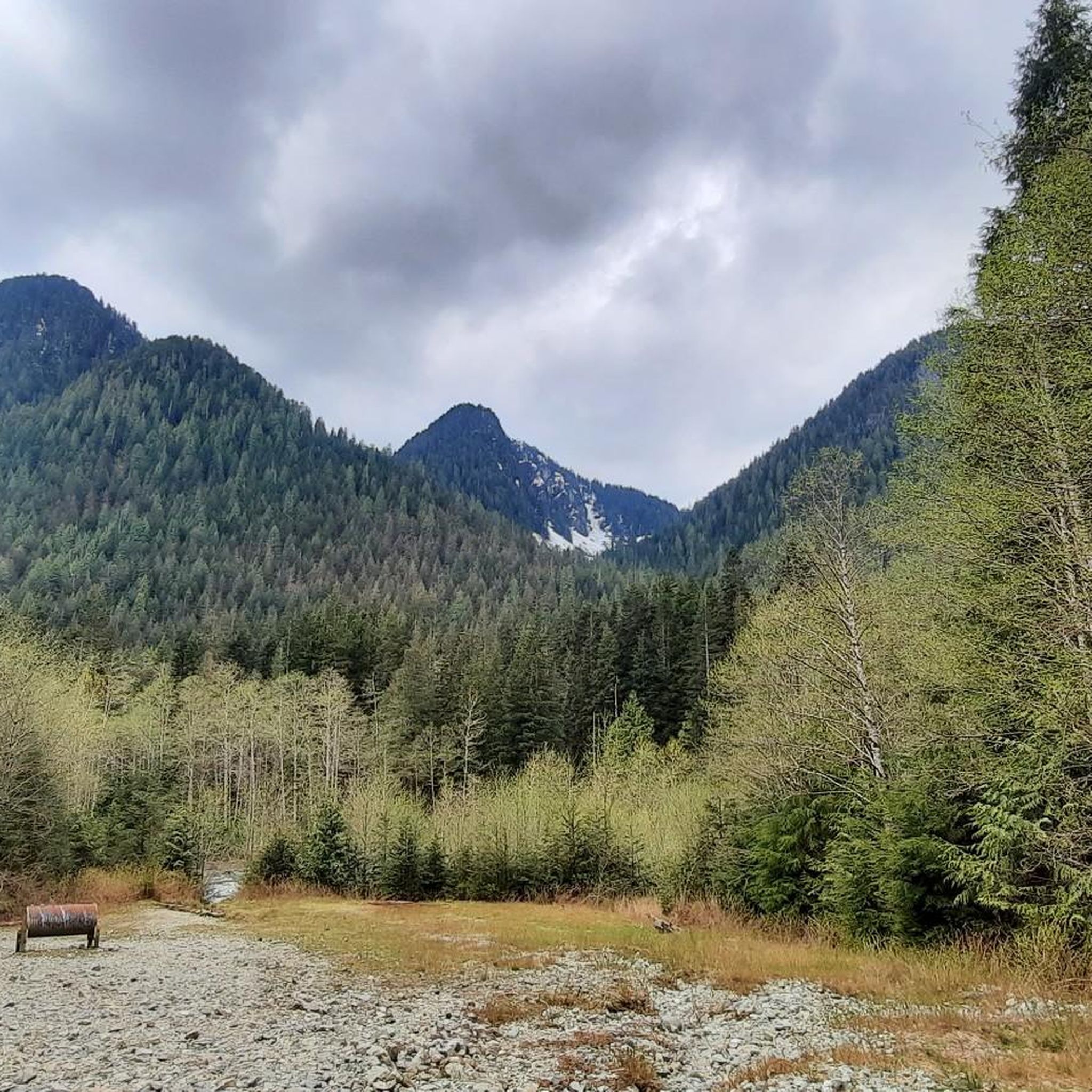
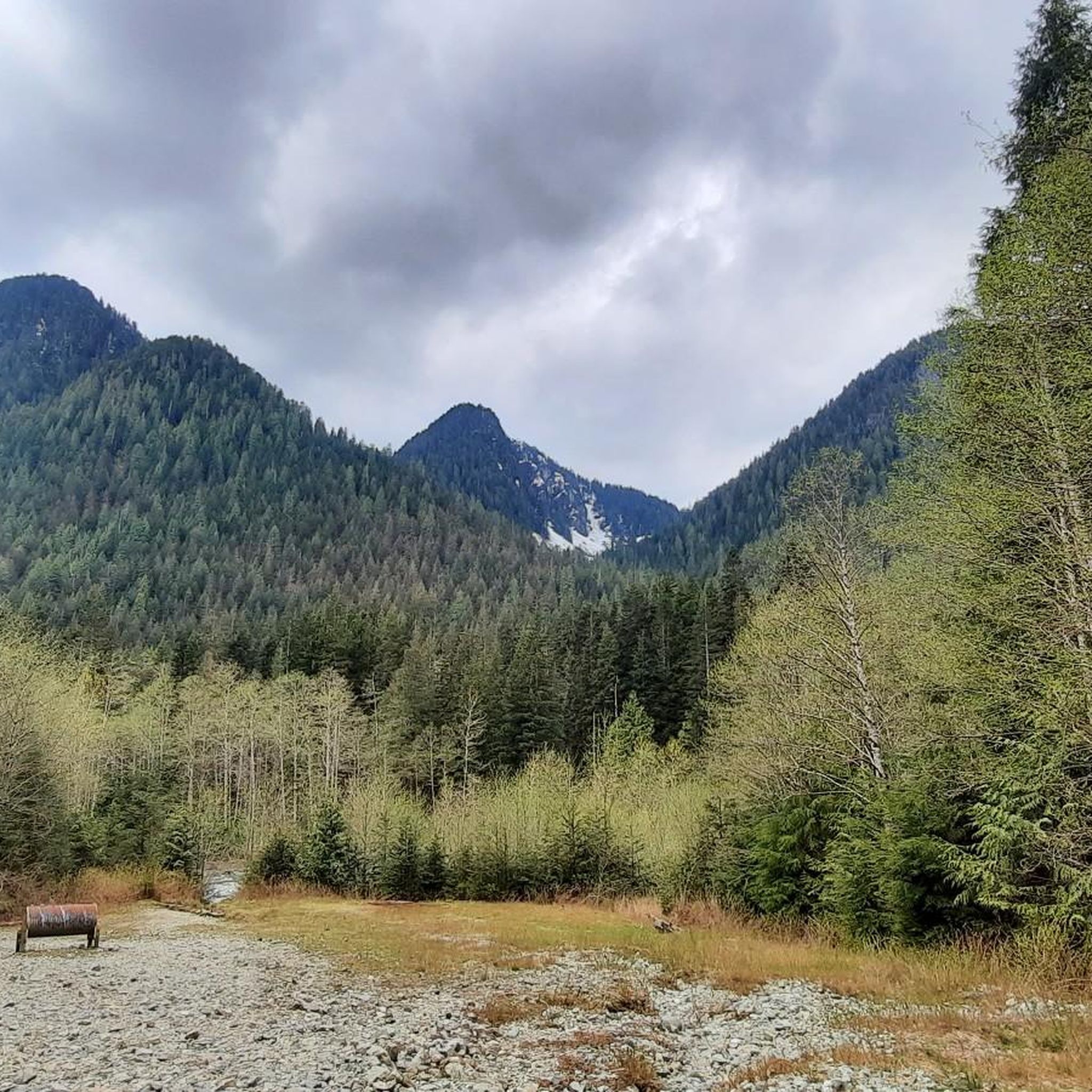
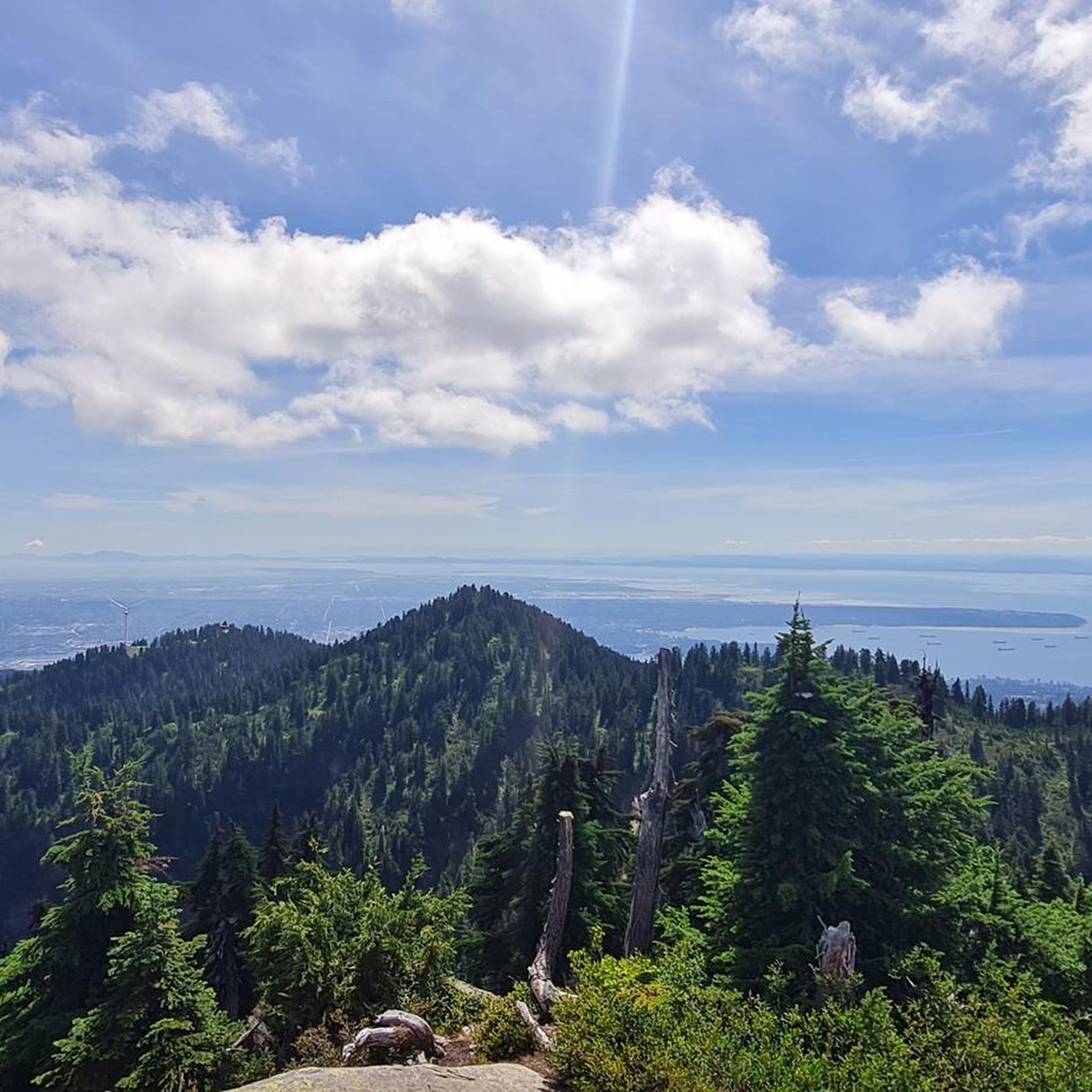
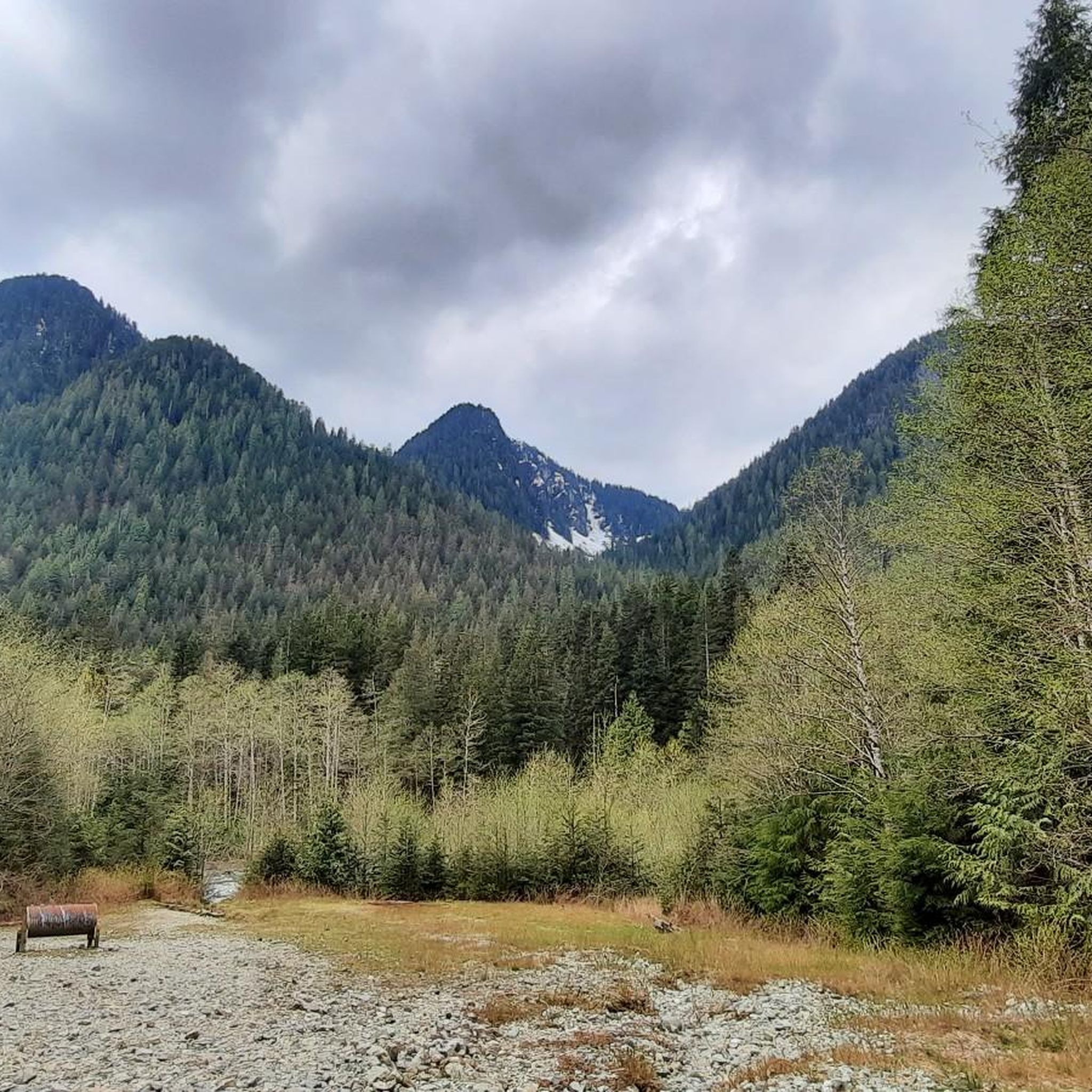
Road cycling in Lynn Headwaters Regional Park offers routes through rugged Coast Mountains terrain, characterized by steep forested slopes, deep valleys, and granite outcrops. The park features lowland rainforests and the picturesque Lynn Creek, providing a diverse natural environment for cyclists. While cycling is specifically permitted on designated routes like the Connector Trail within the park, the area also connects to wider road networks for extended rides.
Best road cycling routes in Lynn Headwaters Regional Park
- The most popular road cycling route is Seymour Lake Gazebo – Seymour Demonstration Forest loop from North Vancouver, a 19.2 miles (30.9 km) trail that takes 1 hour 32 minutes to complete, offering varied terrain through the Seymour Demonstration Forest.
- Another top favourite among local road cyclists is Seymour Demonstration Forest loop from Blueridge, a moderate 13.5 miles (21.7 km) path that winds through the dense forest landscape.
- Local road cyclists also love the Capilano Lake – Grouse Mountain Summit loop from Capilano University, a 19.8 miles (31.9 km) trail leading through areas near Capilano Lake and towards Grouse Mountain, often completed in about 1 hour 53 minutes.
- Road cycling in Lynn Headwaters Regional Park is defined by rugged Coast Mountains terrain, temperate rainforest, and deep valleys. The network offers options for different ability levels, from moderate rides to those with significant elevation gain.
- The routes in Lynn Headwaters Regional Park are highly rated by the komoot community with an average score of 4.9 stars from over 60 reviews. More than 3,300 road cyclists have used komoot to explore Lynn Headwaters Regional Park's varied terrain.
Last updated: July 18, 2026
30
riders
21.7km
01:09
390m
390m
Moderate road ride. Good fitness required. Mostly well-paved surfaces and easy to ride.
8
riders
33.1km
01:57
680m
680m
Moderate road ride. Good fitness required. Some segments of this route may be unpaved and difficult to ride.

Sign up for free
31
riders
17.2km
00:50
200m
200m
Easy road ride. Great for any fitness level. Mostly well-paved surfaces and easy to ride.
6
riders
Moderate road ride. Great for any fitness level. Some segments of this route may be unpaved and difficult to ride.
14
riders
24.2km
01:32
300m
300m
Moderate road ride. Good fitness required. Some segments of this route may be unpaved and difficult to ride.
Get access to more routes and recommendations from other explorers.
Sign up for free
Already have an account?
Our route recommendations are based on thousands of hikes, rides, and runs completed by other people on komoot.
Start today with a free account
Your next adventure awaits.
Login or Signup
Tips from the Community

Mosquito Creek flows through the heart of Mosquito Creek Park, starting its journey between Grouse Mountain and Fromme Mountain. The creek travels 8.5 kilometres south through urban North Vancouver and ends in the Burrard Inlet. Historically, thousands of chum salmon once ran here annually, but development nearly wiped out the population. Chum salmon returned to Mosquito Creek in 2024 thanks to a successful restoration project led by the North Shore Streamkeepers and with the Squamish Nation.
0
0

Ray Perrault Park is located in the Grandview–Woodland neighborhood and covers a full city block. The park features open green space, a playground, sports courts, and a splash pad that is popular with families during the summer months. It also includes a community garden, which adds to its role as a local gathering place.
0
0
Grand Boulevard Park is a long, linear park located in the North Vancouver. The park runs through the center of the historic Grand Boulevard, creating a wide green corridor that stretches several blocks through the neighborhood. It features open lawns, mature trees, and paved pathways that are popular for walking, jogging, and cycling. The park is also used for community gatherings and seasonal events.
0
0
Built in 1954, this dam holds back Capilano Lake. It has a pretty impressive 91-metre spillway and is responsible for a large portion of the Lower Mainland's drinking water. The dam is part of the Capilano River Regional Park.
1
0
Capilano Lake is a 270-hectare, man-made reservoir contained by the Cleveland Dam, which was built in 1954, and accounts for about 40% of Vancouver's water supply. Visitors can get stunning views of the long, narrow lake with the Lions Mountains as a backdrop from the dam.
0
0
This bridge crosses Lynn Creek, connecting the Sea to Sky Trail to Lynn Canyon Park.
0
0
Inter River Park is the perfect blend of outdoor adventure and urban recreation. The park offers hiking and biking trails, as well as eight sports fields and a dedicated bike park.
0
0
Just north a few yards form here across Main Street is Phibbs Exchange, a large bus terminal. It's a great place to get off to hike or bike across the Second Narrows Bridge Trail if you don't have access to a car.
0
0
Frequently Asked Questions
How many road cycling routes are available in Lynn Headwaters Regional Park?
There are over 25 road cycling routes available in Lynn Headwaters Regional Park, catering to various skill levels. These include 3 easy routes, 19 moderate routes, and 3 difficult routes, ensuring options for every cyclist.
What kind of terrain can I expect when road cycling in Lynn Headwaters Regional Park?
Road cycling in Lynn Headwaters Regional Park features rugged Coast Mountains terrain, characterized by steep forested slopes, deep valleys, and granite outcrops. You'll experience lowland rainforests and the picturesque Lynn Creek, with routes offering a mix of paved sections and natural scenery.
Are there any family-friendly road cycling options in Lynn Headwaters Regional Park?
Yes, for families or those seeking a gentler ride, the park offers several easy routes. The Connector Trail within Lynn Headwaters Regional Park is specifically permitted for cycling and provides a good starting point. Additionally, routes like the Robert Burns Memorial – Lions Gate Bridge loop from Keith-Lynn are rated as easy and suitable for a more relaxed experience.
What are some notable natural features or landmarks I might see while cycling?
While cycling, you'll be immersed in a dense temperate rainforest with abundant western hemlock, red cedar, and Douglas fir. The picturesque Lynn Creek is a central feature, and you might catch glimpses of the rugged Coast Mountains, including Mount Fromme and Mount Seymour. The Capilano Lake – Grouse Mountain Summit loop from Capilano University, for instance, leads through areas near Capilano Lake and towards Grouse Mountain, offering scenic views.
What is the best time of year for road biking in Lynn Headwaters Regional Park?
The park's climate is mild with ample rainfall, supporting lush vegetation year-round. While cycling is possible in most seasons, spring through fall generally offers the most pleasant conditions. Winter biking is possible, but be prepared for cooler temperatures and potentially wet conditions due to the temperate rainforest environment.
Are there any loop road bike trails in the area?
Yes, many of the road cycling routes in and around Lynn Headwaters Regional Park are loops. For example, the Seymour Lake Gazebo – Seymour Demonstration Forest loop from North Vancouver and the Seymour Demonstration Forest loop from Blueridge are popular loop options that allow you to start and end at the same point.
What do other road cyclists enjoy most about road cycling in Lynn Headwaters Regional Park?
The area is highly rated by the komoot community, with an average score of 4.9 stars from over 60 reviews. Reviewers often praise the diverse natural environment, the challenging yet rewarding terrain, and the opportunity to explore the lush temperate rainforest and scenic creek valleys.
Is there parking available for road cyclists at Lynn Headwaters Regional Park?
Yes, parking is available near the entrance to Lynn Headwaters Regional Park. It's advisable to check specific parking regulations or availability, especially during peak seasons, to ensure a smooth start to your ride.
Can I access Lynn Headwaters Regional Park by public transport for cycling?
Lynn Headwaters Regional Park is accessible by public transport, with bus routes serving the North Vancouver area that can get you close to the park entrance. Cyclists should check local transit schedules and policies regarding bicycles on buses for the most up-to-date information.
Are there any cafes or places to eat near the road cycling routes?
While Lynn Headwaters Regional Park itself has picnic areas near the entrance, you'll find cafes and other dining options in the nearby Lynn Valley and North Vancouver communities. These areas offer convenient stops for refreshments before or after your ride.
What is the typical elevation gain on road cycling routes in this region?
The elevation gain varies significantly depending on the route's difficulty. Easy routes like the View of Vancouver Port loop from Keith-Lynn might have around 200 meters of elevation gain, while moderate routes such as the Capilano Lake – Grouse Mountain Summit loop from Capilano University can feature over 670 meters of ascent, offering more challenging climbs.
Are there any specific permits required for road cycling within Lynn Headwaters Regional Park?
Cycling is specifically permitted on designated routes like the Connector Trail within Lynn Headwaters Regional Park. Generally, no special permits are required for cycling on these public access trails, but it's always good practice to check the official Metro Vancouver Regional Parks website for any current regulations or advisories before your visit.
Most popular routes in Lynn Headwaters Regional Park

Get inspired with the komoot mobile app


Explore more
Browse the best Road cycling routes in other regions.
