The best road cycling routes in Mount Seymour Provincial Park
4.3
(56)
1,945
riders
31
rides
Road cycling routes in Mount Seymour Provincial Park are situated within British Columbia's North Shore Mountains, offering a mountain wilderness setting. The terrain is characterized by significant elevation gains, notably on Mount Seymour Road, which ascends through thick western red cedar and Douglas fir forests. Higher elevations provide panoramic views of Vancouver, Mount Baker, and Indian Arm, while lower areas feature old-growth forests and several lakes. The park's road network provides well-maintained surfaces suitable for challenging climbs and descents.
Best…
Last updated: July 5, 2026
4.8
(17)
544
riders
45.0km
02:11
370m
370m
Moderate road ride. Good fitness required. Mostly well-paved surfaces and easy to ride.
30
riders
21.7km
01:09
390m
390m
Moderate road ride. Good fitness required. Mostly well-paved surfaces and easy to ride.

Sign up for free
5.0
(1)
14
riders
14.1km
00:48
320m
320m
Moderate road ride. Good fitness required. Mostly well-paved surfaces and easy to ride.
4
riders
16.6km
00:47
190m
190m
Easy road ride. Great for any fitness level. Mostly well-paved surfaces and easy to ride.
8
riders
33.1km
01:57
680m
680m
Moderate road ride. Good fitness required. Some segments of this route may be unpaved and difficult to ride.
Get access to more routes and recommendations from other explorers.
Sign up for free
Already have an account?
Our route recommendations are based on thousands of hikes, rides, and runs completed by other people on komoot.
Start today with a free account
Your next adventure awaits.
Login or Signup
Popular around Mount Seymour Provincial Park

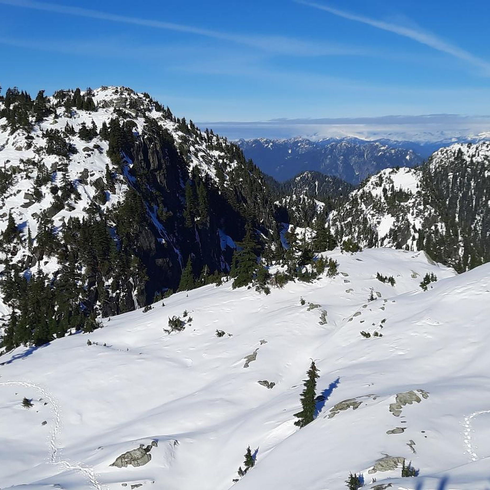
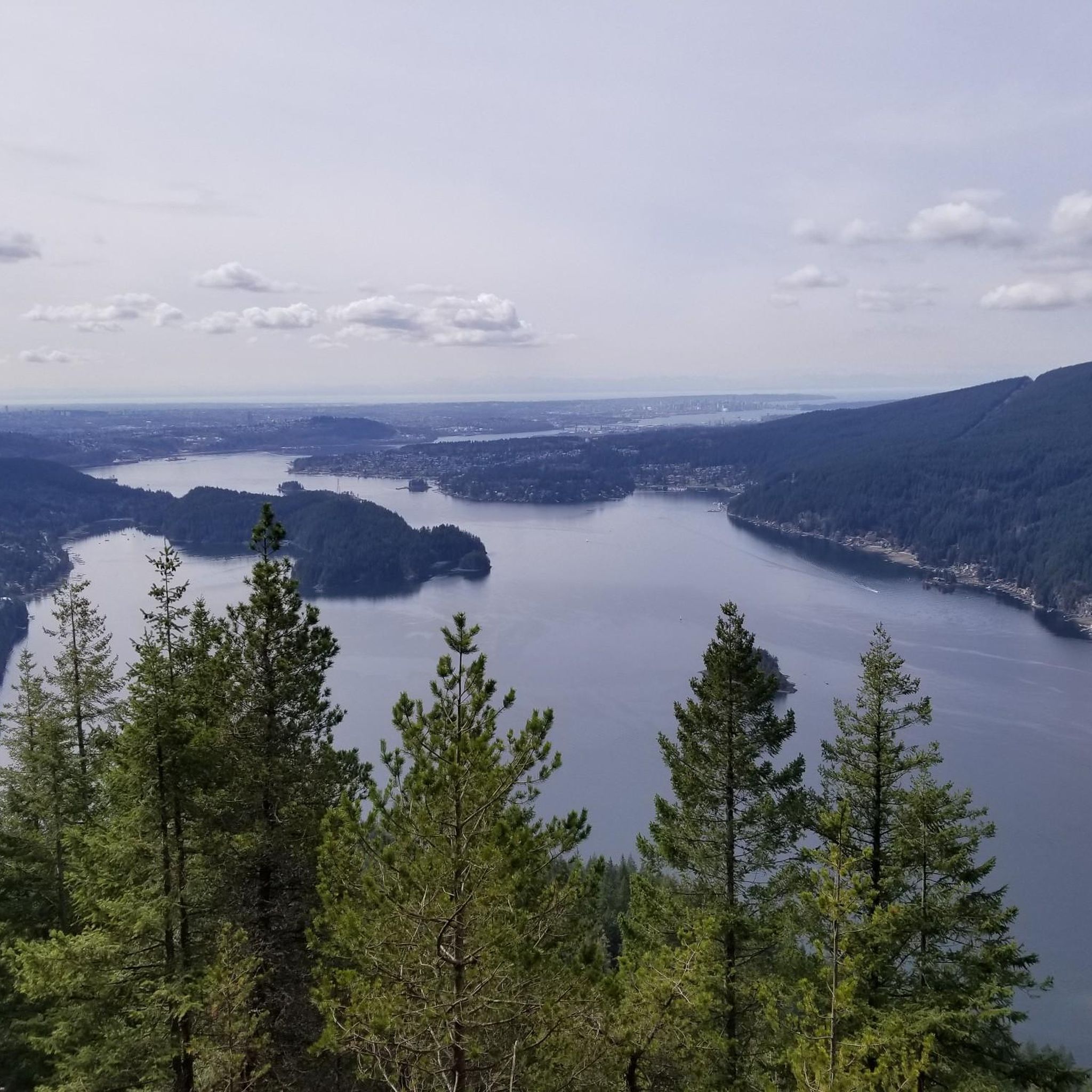
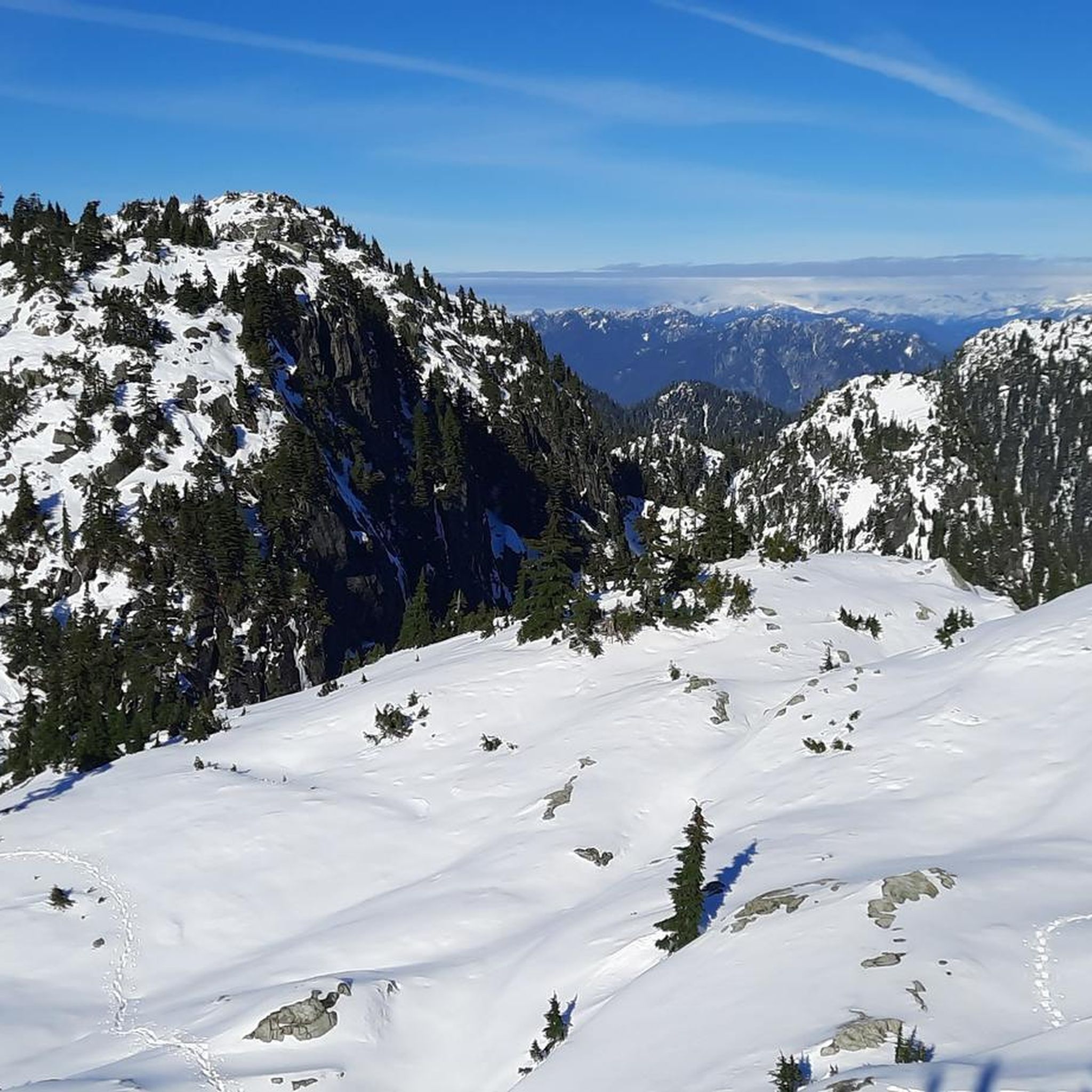
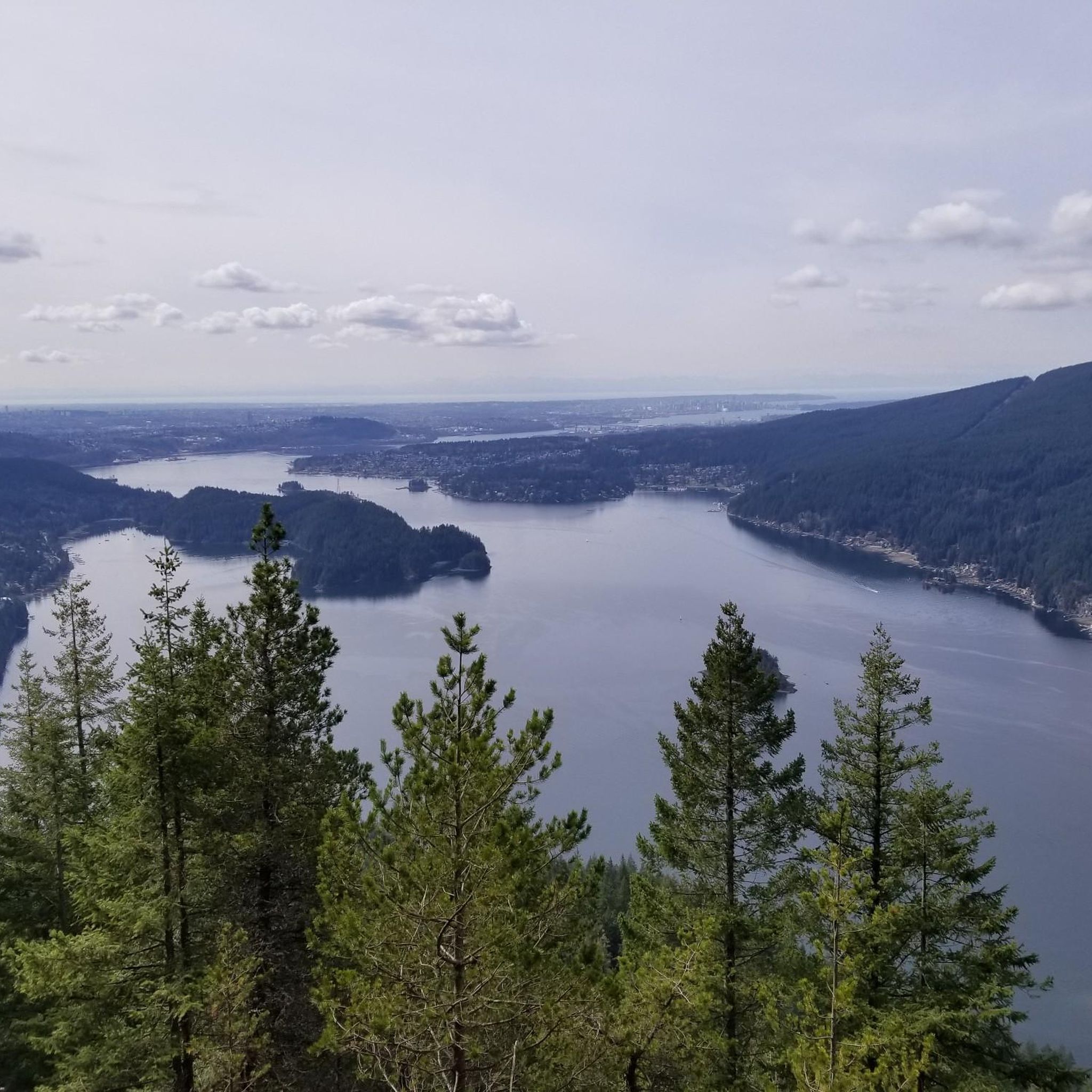

Other adventures in Mount Seymour Provincial Park

Tips from the Community

Here, the Avison Trail crosses over Stanley Park Causeway via a sidewalk on Stanley Park Drive and gives one of the best viewpoints over Lions Gate Bridge. There is an informational sign on the sidewalk about the bridge, and the viewpoints look straight down the bridge from between the forests.
1
0
Mosquito Creek flows through the heart of Mosquito Creek Park, starting its journey between Grouse Mountain and Fromme Mountain. The creek travels 8.5 kilometres south through urban North Vancouver and ends in the Burrard Inlet. Historically, thousands of chum salmon once ran here annually, but development nearly wiped out the population. Chum salmon returned to Mosquito Creek in 2024 thanks to a successful restoration project led by the North Shore Streamkeepers and with the Squamish Nation.
0
0

Built in 1954, this dam holds back Capilano Lake. It has a pretty impressive 91-metre spillway and is responsible for a large portion of the Lower Mainland's drinking water. The dam is part of the Capilano River Regional Park.
1
0
Capilano Lake is a 270-hectare, man-made reservoir contained by the Cleveland Dam, which was built in 1954, and accounts for about 40% of Vancouver's water supply. Visitors can get stunning views of the long, narrow lake with the Lions Mountains as a backdrop from the dam.
0
0

To be clear, this is not the top of Grouse Mountain, but merely the furthest you can climb by bicycle on a paved road. Here, you'll find a parking lot, washrooms, a water dispenser, a coffee shop, and the base of the Skyride gondola. To get to the top of Grouse Mountain where the views and tourist attractions are, you'll need to either take a gondola ride, hike up the Grouse Grind Trail (https://komoot.com/smarttour/e1816863835), or hike the BCMC Trail (https://komoot.com/highlight/3718910). It is also possible to ride a bike to the top, not through here, but by taking Mountain Highway to the unpaved Grouse Mountain Highway.
0
0

The Robert Burns Memorial is an outdoor memorial and statue of Scottish poet Robert Burns, located in Stanley Park in Vancouver, British Columbia, Canada.
0
0
The Central Valley Greenway (CVG) is a 24–25 km multi-use trail connecting Vancouver, Burnaby, and New Westminster. Following a shallow valley, it offers a mostly flat route ideal for cyclists, walkers, and commuters. The greenway links key destinations such as False Creek, Burnaby Lake Regional Park, and New Westminster Quay, and is accessible via 13 SkyTrain stations along the Expo and Millennium Lines. The CVG combines off-road paths with on-street sections, providing a safe and scenic corridor through Metro Vancouver.
0
0
The trail that runs through the Seymour Demonstration Forest, or the Lower Seymour Conservation Reserve (https://metrovancouver.org/services/regional-parks/park/lower-seymour-conservation-reserve), is probably the most pleasant car-free paved trail in the Vancouver area. From the gazebo at the Rice Lake entrance to the gate at Seymour Dam, the path is 11 km long, with gentle rolling hills and curves. There are washrooms and a drinking fountain near the Rice Lake entrance. It is sometimes a few degrees chillier on this trail, even on a hot summer day, due to the trees, the elevation, and the valley that can trap a pocket of cool air. Cautions: - The road to the park is gated, and therefore inaccessible to cars, at night. - Throttle-actuated bikes are prohibited on the trail. - The trail has multiple speed gates with flexible bollards. - Since much of the trail is off-limits to cars and also out of range of cell phone service, be sure that your bike is in good working order, and that you are able to handle any likely mechanical issues. - Bears roam the area. (https://www.nsnews.com/local-news/glad-to-be-alive-man-t-bones-bear-while-cycling-in-north-vancouver-7015380)
2
0
Frequently Asked Questions
How many road cycling routes are available in Mount Seymour Provincial Park?
Mount Seymour Provincial Park offers a diverse network of over 30 road cycling routes. These range from challenging mountain climbs to more moderate loops, catering to various skill levels. You'll find options like the Stanley Park Drive – Lions Gate Bridge loop from Seymour, which provides a varied ride towards urban landmarks, or the Seymour Demonstration Forest loop from Blueridge for a forested experience.
What is the best time of year for road cycling in Mount Seymour Provincial Park?
The prime season for road cycling in Mount Seymour Provincial Park is typically from late spring through early autumn. During these months, the Mount Seymour Road is usually clear of snow, offering excellent conditions for the challenging ascent and descent. The park also transforms into a winter wonderland, but road cycling is primarily a warm-weather activity here.
What are the typical challenges for road cyclists in Mount Seymour Provincial Park?
Road cycling in Mount Seymour Provincial Park is defined by significant mountain climbs. The main ascent of Mount Seymour Road spans 12.2 kilometers, gaining 893 meters with an average grade of 7.3%, and some segments exceeding 10%. This makes it a challenging ride, often considered a 'healthy bike climb' and part of the annual Triple Crown for Heart cycling event.
Are there any easier road cycling options for beginners or families in Mount Seymour Provincial Park?
While the main Mount Seymour Road climb is challenging, there are options for less experienced riders or families. Some families choose to drive to the top of Mount Seymour Road and enjoy the smooth, gently curving descent, which features a consistent 6-8% grade. Additionally, komoot lists 12 easy routes within the park, offering less strenuous rides.
What kind of views can I expect while road cycling in Mount Seymour Provincial Park?
Road cycling in Mount Seymour Provincial Park offers breathtaking panoramic views. From viewpoints at the top of the mountain and various pull-outs along the access road, you can enjoy impressive vistas of the Lower Mainland, the Fraser Valley, Mount Baker, Vancouver Island, and Indian Arm. The climb itself also provides serene views through thick western red cedar and Douglas fir trees.
Are there any notable natural features or landmarks along the road cycling routes?
Yes, the park is rich in natural beauty. Along the routes, you'll encounter old-growth Douglas fir and western red cedar forests. Higher elevations feature open meadows with sub-alpine flowers. The park also contains several picturesque lakes, including Elsay Lake, Pencier Lake, Gopher Lake, Mystery Lake, and Goldie Lake, many of which drain into the Seymour River or Indian Arm.
What wildlife might I encounter while cycling in Mount Seymour Provincial Park?
Mount Seymour Provincial Park is home to diverse wildlife. Deer and coyotes are frequently observed near the access road. In the backcountry, you might spot black bears, bobcats, and cougars. The Steller's Jay, British Columbia's official bird, is also present throughout the park.
Is there parking available for road cyclists in Mount Seymour Provincial Park?
Yes, parking is available within Mount Seymour Provincial Park. Cyclists typically park at the base of Mount Seymour Road or at designated areas further up, depending on their planned route. It's advisable to check park signage for specific parking regulations and availability, especially during peak seasons.
How can I reach Mount Seymour Provincial Park by public transport for road cycling?
Mount Seymour Provincial Park is located approximately 15 kilometers north of Downtown Vancouver. While there isn't a direct public transport route that takes you right to the start of the main cycling climb, TransLink operates bus services that can get you to the vicinity of the park entrance. From there, you may need to cycle a short distance to reach the main road cycling routes.
Are there any cafes or amenities near the Mount Seymour Provincial Park entrance?
While the park itself is a wilderness area, there are amenities available in the communities surrounding Mount Seymour Provincial Park, particularly in North Vancouver. You can find cafes, restaurants, and other services a short distance from the park entrance, perfect for pre-ride fuel or post-ride refreshments.
What do other road cyclists enjoy most about road cycling in Mount Seymour Provincial Park?
The komoot community highly rates road cycling in Mount Seymour Provincial Park, with an average score of 4.5 stars from over 50 reviews. Cyclists frequently praise the challenging yet rewarding climbs, the well-maintained road surface, and the stunning panoramic views from the summit. The peaceful, forested environment and light traffic are also often highlighted as key enjoyable aspects.
Are there any loop options for road cycling in Mount Seymour Provincial Park?
Yes, beyond the direct ascent and descent of Mount Seymour Road, there are several loop options available. For instance, the Roadbike loop from Capitol Hill Conservation Area offers a shorter, moderate ride through suburban areas and green spaces. Other routes, like the Capilano Lake – Grouse Mountain Summit loop from Capilano University, combine elements of the park's terrain with nearby areas for a more extensive ride.
Most popular routes in Mount Seymour Provincial Park
Most popular attractions in Mount Seymour Provincial Park

Get inspired with the komoot mobile app


Explore more
Browse the best Road cycling routes in other regions.
