The best cycling routes in Buntzen Lake Recreation Area
4.5
(171)
1,047
riders
31
rides
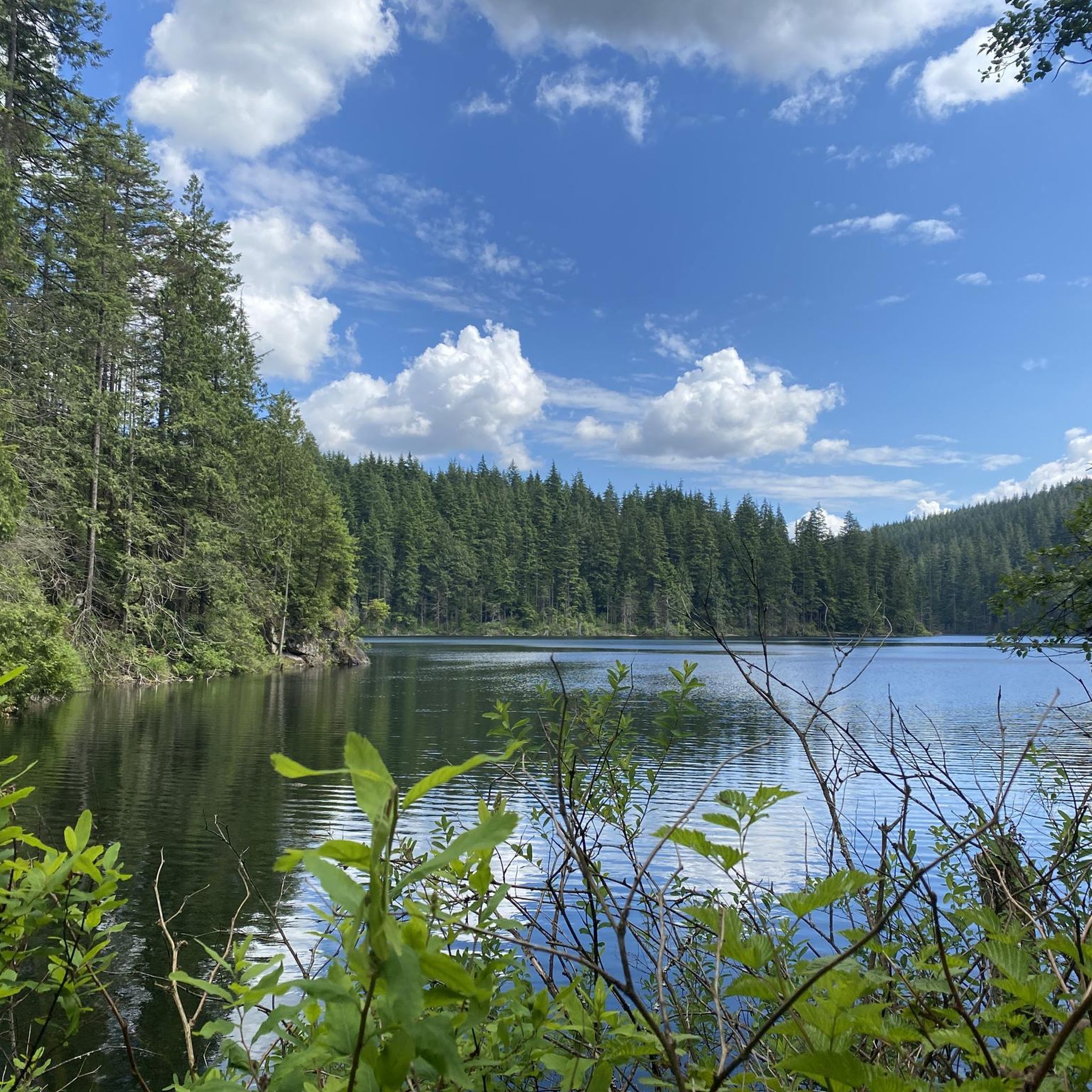
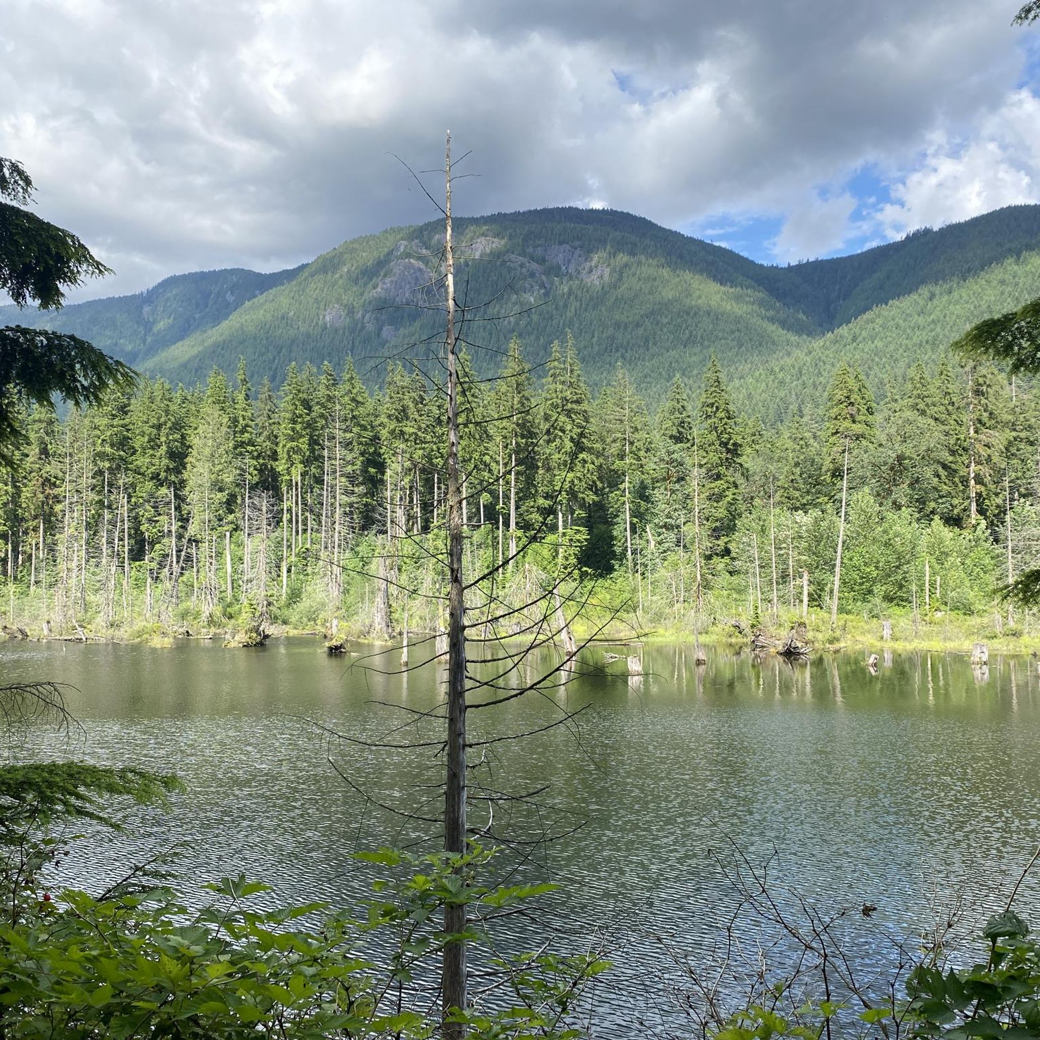
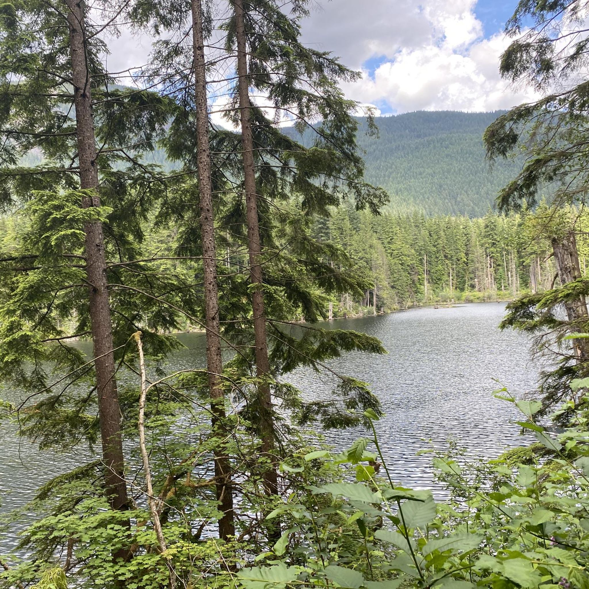
Touring cycling in Buntzen Lake Recreation Area is characterized by a mix of forested mountains, a glacier-fed lake, and diverse terrain. The landscape features significant uphill grades on some roads, alongside mixed-use trails with varied surfaces from gravel to singletrack. Surrounded by Eagle Ridge and Buntzen Ridge, the area offers both challenging ascents and more accessible paths for touring cyclists.
Best touring cycling routes in Buntzen Lake Recreation Area
- The most popular touring cycling route is Hoy Creek Salmon Hatchery – Goody's Restaurant loop from Eagle Ridge, an 8.3 miles (13.3 km) trail that takes 1 hour 2 minutes to complete. This moderate route features varied terrain through the local landscape.
- Another top favourite among local touring cyclists is Goody's Restaurant loop from Eagle Ridge, a difficult 10.8 miles (17.4 km) path. This route includes significant elevation changes and offers views of the surrounding forested mountains.
- Local touring cyclists also love the Pitt River Bridge – Pitt River Dike Trail loop from Moody Centre, a 30.3 miles (48.9 km) trail leading through varied urban and natural landscapes, often completed in about 3 hours 59 minutes.
- Touring cycling in Buntzen Lake Recreation Area is defined by glacier-fed lakes, densely forested mountains, and mixed-surface trails. The network offers options for different ability levels, from easy rides to routes with significant elevation gain.
- The routes in Buntzen Lake Recreation Area are highly rated by the komoot community with an average score of 4.5 stars from over 160 reviews. More than 1100 touring cyclists have used komoot to explore Buntzen Lake Recreation Area's varied terrain.
Last updated: October 22, 2026
6
riders
Moderate bike ride. Good fitness required. Mostly paved surfaces. Suitable for all skill levels.
4.5
(2)
3
riders
17.7km
01:26
520m
530m
Hard bike ride. Very good fitness required. Mostly paved surfaces. Suitable for all skill levels.

4.8
(4)
48
riders
38.6km
02:50
750m
750m
Hard bike ride. Very good fitness required. Mostly paved surfaces. Suitable for all skill levels.
5.0
(1)
31
riders
76.5km
05:37
980m
980m
Hard bike ride. Very good fitness required. Mostly paved surfaces. Suitable for all skill levels.
4.3
(4)
21
riders
19.5km
01:18
210m
210m
Moderate bike ride. Good fitness required. Mostly paved surfaces. Suitable for all skill levels.
Get access to more routes and recommendations from other explorers.
Already have an account?
Our route recommendations are based on thousands of hikes, rides, and runs completed by other people on komoot.
Start today with a free account
Your next adventure awaits.
Tips from the Community

Montrose Park sits perched on the steep bluffs of the Burrard Inlet with great views. Some sights you can see are elevated views of the Ironworkers Memorial Bridge and the Second Narrows Rail Bridge, and the rail bridge will sometimes lift into the air to let large cargo ships pass underneath. This waterway is also a bus shipping lane of the inner Burrard Inlet, dotted with terminals, tugboats, and container ships that fuel Vancouver's port. The Trans Canada Trail cuts through the park as a flat gravel path. This path is open to walking or biking two kilometres east directly into Confederation Park, passing through thick second-growth forests and over small creeks.
0
0

Say Nuth Khaw Yum Provincial Park protects more than 5,500 hectares of rugged Coast Mountains, old-growth forest, alpine lakes, and dramatic viewpoints overlooking Indian Arm. The park is collaboratively managed by the Tsleil-Waututh Nation and the Province of British Columbia, and its name, Say Nuth Khaw Yum, means Serpent's Land. Despite being just outside Metro Vancouver, much of the park remains wild and undeveloped, with challenging trails leading to remote lookouts, mountain ridges, and pristine backcountry lakes. There is no fee to hike in the park, making it one of the region's most rewarding free wilderness destinations.
0
0

This wide, gravel trail winds along West Noons Creek and between a couple of neighbourhoods. It's a popular multi-use trail so expect to share the path with hikers, trails runners, and mountain bikers. There are some small mountain bike features built on the side of the trail, so be sure to keep an eye out for fast moving bikers when approaching them.
0
0

There is an easy loop trail around the shore of the lake, which connects to nearby trails ascending Sugar Mountain and the hills to the west.
1
0
təmtəmíxʷtən/Belcarra Regional Park sits covers 1,100 hectares (2,700 acres) and offers a mix of beaches, shaded trails, and calm lake swimming. You can explore cool, mossy glades beneath towering trees, wander shoreline paths, or head inland to Sasamat Lake, known for its warm summer water and family‑friendly beaches. The parks name, given by the Tsleil‑Waututh Nation, means “the biggest place for all the people,” and the land still holds a high place in their history and culture.
0
0
On the east side of the bridge’s northern end, near the base of the bridge is a memorial to honor 27 workers who lost their lives on June 17, 1958, when a section of the original Second Narrows Bridge collapsed during construction.
0
0
Frequently Asked Questions
How many touring cycling routes are available in Buntzen Lake Recreation Area?
There are over 35 touring cycling routes in the Buntzen Lake Recreation Area, catering to various skill levels. You'll find a good mix of easy, moderate, and difficult options to explore the region's diverse terrain.
Are there any family-friendly touring cycling routes in the Buntzen Lake Recreation Area?
Yes, the Buntzen Lake Recreation Area offers several family-friendly cycling options. While some trails are challenging, there are mixed-use trails with varied surfaces, including gravel roads, that are suitable for casual riders. The area has 12 easy routes, perfect for a relaxed family outing.
What kind of terrain can I expect on touring cycling routes around Buntzen Lake?
Touring cycling routes in the Buntzen Lake Recreation Area feature a diverse mix of terrain. You'll encounter densely forested mountains, a beautiful glacier-fed lake, and trails with varied surfaces ranging from gravel roads to singletrack. Some road sections, like Sunnyside Road, include significant uphill grades, while other paths offer more accessible riding.
Are dogs allowed on touring cycling trails in Buntzen Lake Recreation Area?
Yes, the Buntzen Lake Recreation Area is dog-friendly. There's a designated dog off-leash beach and areas where dogs can picnic with their owners. When cycling, ensure your dog is under control and follow any posted regulations for mixed-use trails.
What are some scenic viewpoints or natural features I can see while cycling?
Cyclists can enjoy stunning views of Buntzen Lake, which is a pristine glacier-fed lake, and the surrounding forested mountains like Eagle Ridge and Buntzen Ridge. The area is known for its gorgeous rainforests. The North Beach, in particular, offers clear waters where you can see to the bottom of the lake.
How can I access the Buntzen Lake Recreation Area by public transport for cycling?
The Buntzen Lake Recreation Area is located about 45 minutes east of Vancouver. While specific public transport routes for cyclists might vary, it's advisable to check local transit schedules for connections to the area. Many dedicated cyclists also tackle the challenging Sunnyside Road by bike to reach the lake.
Are there any challenging touring cycling routes for experienced riders?
Absolutely. The Buntzen Lake Recreation Area offers several challenging routes for experienced touring cyclists. For example, the Goody's Restaurant loop from Eagle Ridge is a difficult 17.1 km path with significant elevation changes. Another demanding option is the Belcarra Picnic Area – Port Moody Heron Rookery loop from Moody Centre, covering 34.0 km with substantial climbs.
What do other touring cyclists enjoy most about cycling in Buntzen Lake Recreation Area?
The Buntzen Lake Recreation Area is highly rated by the komoot community, with an average score of 4.5 stars from over 150 reviews. Cyclists often praise the diverse terrain, the stunning natural environment including the glacier-fed lake and forested mountains, and the variety of routes available for different skill levels.
Are there any long-distance touring cycling routes in the area?
Yes, for those seeking longer rides, the Buntzen Lake Recreation Area and its surroundings offer extended routes. A notable option is the Halfway Hairpin – Seymour Trailway loop from Moody Centre, a difficult route spanning 76.5 km, which provides a substantial challenge for touring cyclists.
Can I find routes that combine paved and unpaved surfaces?
Many routes in the Buntzen Lake Recreation Area feature a mix of surfaces. For instance, the 'Buntzen Lake & Belcarra Gravel' route, though not listed as a specific komoot tour here, is known to combine paved and unpaved sections. You'll find mixed-use trails that transition from gravel roads to singletrack, offering varied riding experiences.
Are there any moderate touring cycling routes suitable for a good workout?
Yes, there are several moderate routes that offer a good balance of challenge and enjoyment. The Hoy Creek Salmon Hatchery – Goody's Restaurant loop from Eagle Ridge is a popular moderate route, covering 13.3 km with varied terrain. Another excellent moderate option is the Pitt River Bridge – Pitt River Dike Trail loop from Moody Centre, which is 40.7 km long and leads through diverse landscapes.
What are the typical elevation gains on touring cycling routes in this region?
Elevation gains vary significantly depending on the route's difficulty. While some easy routes have minimal climbs, more challenging paths can feature substantial ascents. For example, the difficult Goody's Restaurant loop from Eagle Ridge includes over 500 meters of elevation gain, and Sunnyside Road has sections with grades reaching 9% to 15%.
Most popular routes in Buntzen Lake Recreation Area

Get inspired with the komoot mobile app


Explore more
Browse the best Cycling routes in other regions.
