The best MTB trails in Glerárdalur
4.5
(2)
140
riders
13
rides
Mountain bike trails in Glerárdalur traverse an expansive valley southwest of Akureyri, Iceland, characterized by its glacial formation and diverse terrain. The landscape features bedrock from the Miocene geological epoch, including basalt lava layers and various volcanic rock types. The Glerá river carves an impressive canyon, and the valley is encircled by high peaks such as Mt. Kerling and Mt. Tröllafjall. Mountain biking routes typically feature a mix of gravel and mud tracks, as well as gravel roads.
Best mountain…
Last updated: July 1, 2026
10
riders
19.7km
01:47
420m
420m
Moderate mountain bike ride. Good fitness required. Suitable for all skill levels.
25
riders
18.0km
01:42
370m
370m
Moderate mountain bike ride. Good fitness required. Suitable for all skill levels.

Sign up for free
6
riders
21.7km
02:00
480m
480m
Moderate mountain bike ride. Good fitness required. Advanced riding skills necessary.
5.0
(1)
5
riders
30.1km
02:15
340m
340m
Moderate mountain bike ride. Good fitness required. Suitable for all skill levels.
18
riders
11.1km
01:09
300m
300m
Easy mountain bike ride. Great for any fitness level. Suitable for all skill levels.
Get access to more routes and recommendations from other explorers.
Sign up for free
Already have an account?
Our route recommendations are based on thousands of hikes, rides, and runs completed by other people on komoot.
Start today with a free account
Your next adventure awaits.
Login or Signup
Popular around Glerárdalur
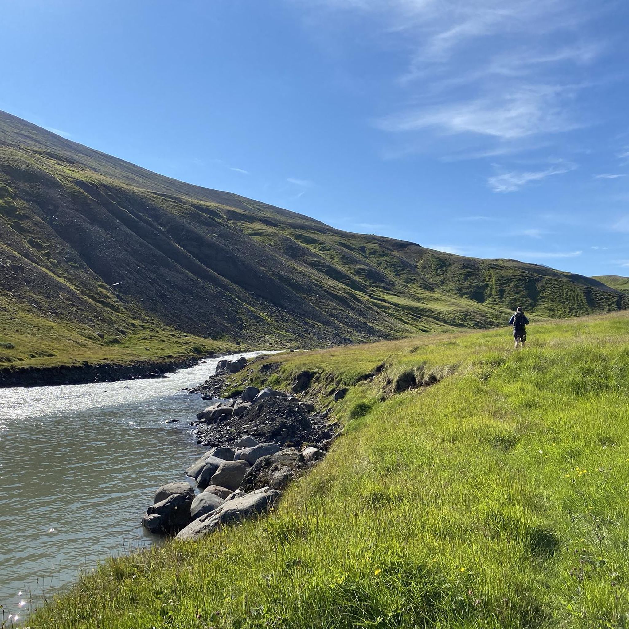
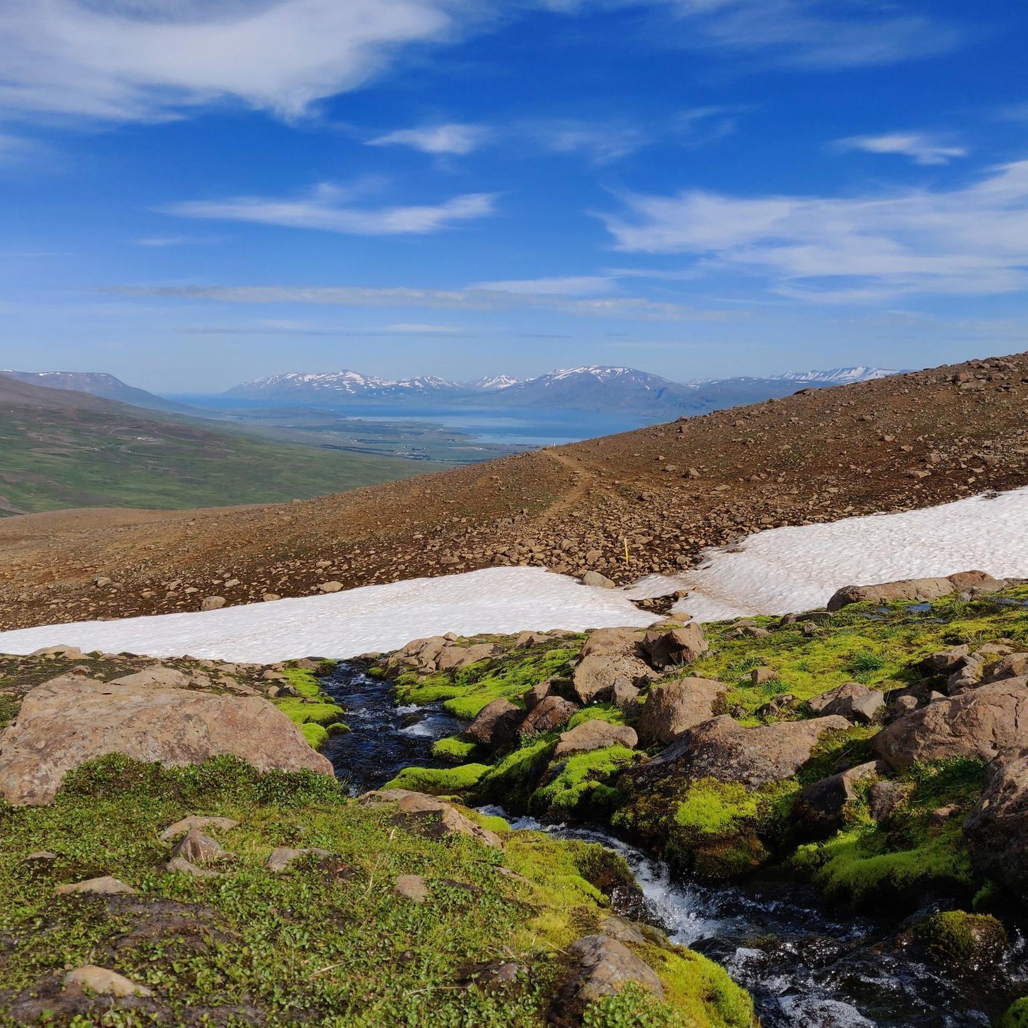
Tips from the Community

Akureyri lies on the shores of the far-reaching Eyjafjörður fjord and the Glerá River. To the west lies the mountainous Tröllaskagi peninsula with the Öxnadalur glacial lake. Northwest of Akureyri lies the nearest major town, Dalvík, and the municipality of Hörgársveit. Akureyri's local mountain, Súlur, is located south-southwest of the city. To the south lies the municipality of Eyjafjarðarsveit, with the town of Hrafnagil and the Eyjafjarðará River. Northeast of Akureyri lies the town of Svalbarðseyri in the municipality of Svalbarðsströnd. To the east of Akureyri lies the municipality of Þingeyjarsveit. Akureyri lies just 50 kilometers south of the Arctic Circle, which runs across the island of Grímsey, accessible from there by plane and ferry. The city is a good starting point for other attractions in northern Iceland, such as the Aldeyjarfoss and Goðafoss waterfalls, Lake Mývatn with its volcanic features, and whale watching in Húsavík. White smokers lie off the coast of Akureyri in the Eyjafjörður fjord.
2
0

It's always nice to have to stand at a traffic light.
0
0
It's always nice to have to stop at a traffic light.
0
0
Akureyri is a city at the foot of the Eyjafjörður fjord in northern Iceland. In the city center is Akureyri Church, built in the 1940s, with stained-glass windows depicting scenes from Icelandic religious history. The fjord can be seen from the church's courtyard. The nearby Akureyri Art Museum exhibits contemporary works by Icelandic and international artists. To the south of the city is the Botanical Garden, home to plant species from all over Iceland.
2
0

Great highlight for taking photos
1
0
Frequently Asked Questions
How many mountain bike trails are available in Glerárdalur?
Glerárdalur offers a selection of 13 mountain bike trails, catering to various skill levels. You'll find 5 easy routes and 8 moderate routes, ensuring there's something for everyone from beginners to more experienced riders.
What kind of terrain can I expect on mountain bike trails in Glerárdalur?
The trails in Glerárdalur feature a diverse mix of surfaces, including gravel and mud tracks, as well as gravel roads. This variety provides an engaging riding experience, with some routes also incorporating technical features like berms, bridges, rock faces, and skinnies for advanced riders.
Are there any family-friendly mountain bike trails in Glerárdalur?
Yes, Glerárdalur has several options suitable for families. There are 5 easy mountain bike routes that are generally less demanding, making them ideal for riders of all fitness levels. For example, the Mountainbike loop from Akureyri Airport is an easy 11.0 km trail.
Are there any circular mountain bike routes in Glerárdalur?
Many of the mountain bike trails in Glerárdalur are designed as loops, offering convenient circular routes. Popular options include the Glerá Gorge loop from Giljahverfi, which is 19.7 km, and the Glerá Gorge – Glerárdalur Dam loop from Akureyri, covering 18.0 km.
What natural features or landmarks can I see while mountain biking in Glerárdalur?
Glerárdalur is rich in natural beauty. You can expect to see the impressive Glerá River and its canyon, with picturesque waterfalls along its course. The valley is also surrounded by majestic peaks like Mt. Kerling and Mt. Tröllafjall, and you might catch glimpses of the Vindheimajökull and Lambajökull glaciers. A prominent route leads to a dam, offering expansive views of the canyon and mountains. The Glerá Gorge loop from Giljahverfi offers views of the Glerá river and canyon.
Is there parking available for mountain bikers in Glerárdalur?
While specific parking areas for mountain bikers are not detailed, Glerárdalur is easily accessible from Akureyri. Some trails start near the Akureyri Ski Resort at the valley's opening, which typically has parking facilities. For routes starting directly from Akureyri, such as the Glerá Gorge – Glerárdalur Dam loop from Akureyri, you would typically find parking within the town.
What is the best time of year to go mountain biking in Glerárdalur?
The best time for mountain biking in Glerárdalur is generally during the warmer months when trails are free of snow and ice. Given its location in Iceland, summer and early autumn offer the most favorable conditions, with longer daylight hours and more stable weather. Winter conditions can be challenging due to snow and ice.
Are dogs allowed on the mountain bike trails in Glerárdalur?
Glerárdalur is a protected country park, and while specific regulations for dogs on mountain bike trails are not detailed, it's generally advisable to keep dogs on a leash to protect the diverse ecosystems and wildlife. Always check local signage or park regulations for the most current information regarding pets.
What are the difficulty levels of mountain bike trails in Glerárdalur?
The mountain bike trails in Glerárdalur range from easy to moderate. Out of the 13 available routes, 5 are classified as easy, suitable for all fitness levels, while 8 are moderate, requiring a reasonable level of fitness. There are currently no trails rated as difficult, making it a great destination for intermediate riders.
What do other mountain bikers say about the trails in Glerárdalur?
The mountain bike trails in Glerárdalur are highly regarded by the komoot community, holding an average rating of 4.5 stars. Riders often praise the dramatic glacial topography, the high peaks, and the scenic river canyons that define the riding experience. The varied terrain and options for different ability levels are also frequently highlighted.
Can I reach the mountain bike trails in Glerárdalur using public transport?
Glerárdalur is easily accessible from Akureyri, which serves as a regional hub. While specific public transport links directly to trailheads within the valley are not detailed, local bus services in Akureyri may provide access to the general vicinity or starting points of some routes. Many trails, such as the Mountainbike loop from Akureyri, start directly from the town.
Are there any facilities like mountain cabins or shelters along the trails?
Yes, deeper into the valley, you'll find the Lambi Mountain Cabin, situated at about 720 meters above sea level. This rustic hut serves as a significant attraction and can be a starting point for longer mountain routes, offering an option for an overnight stay during extended excursions.

Get inspired with the komoot mobile app


