The best road cycling routes in Lic Sierra De Ugarra
4.4
(20)
756
riders
26
rides
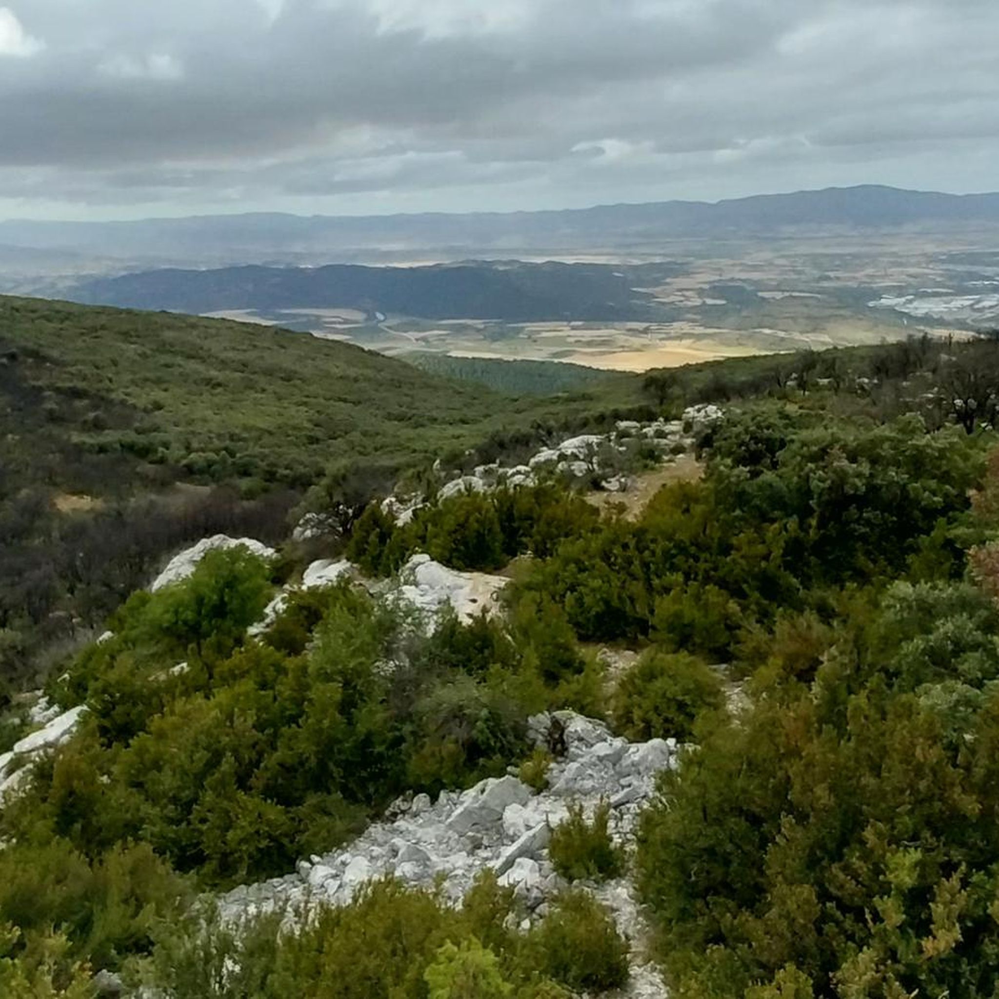
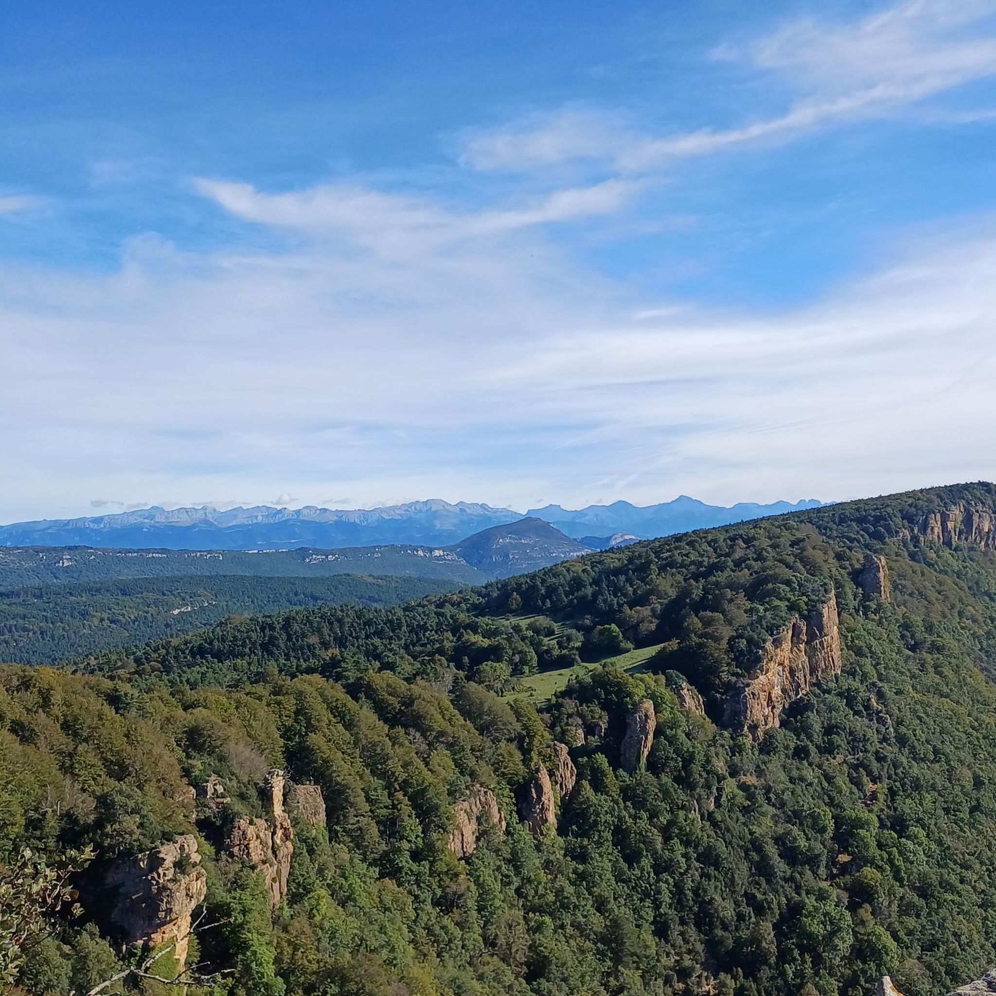
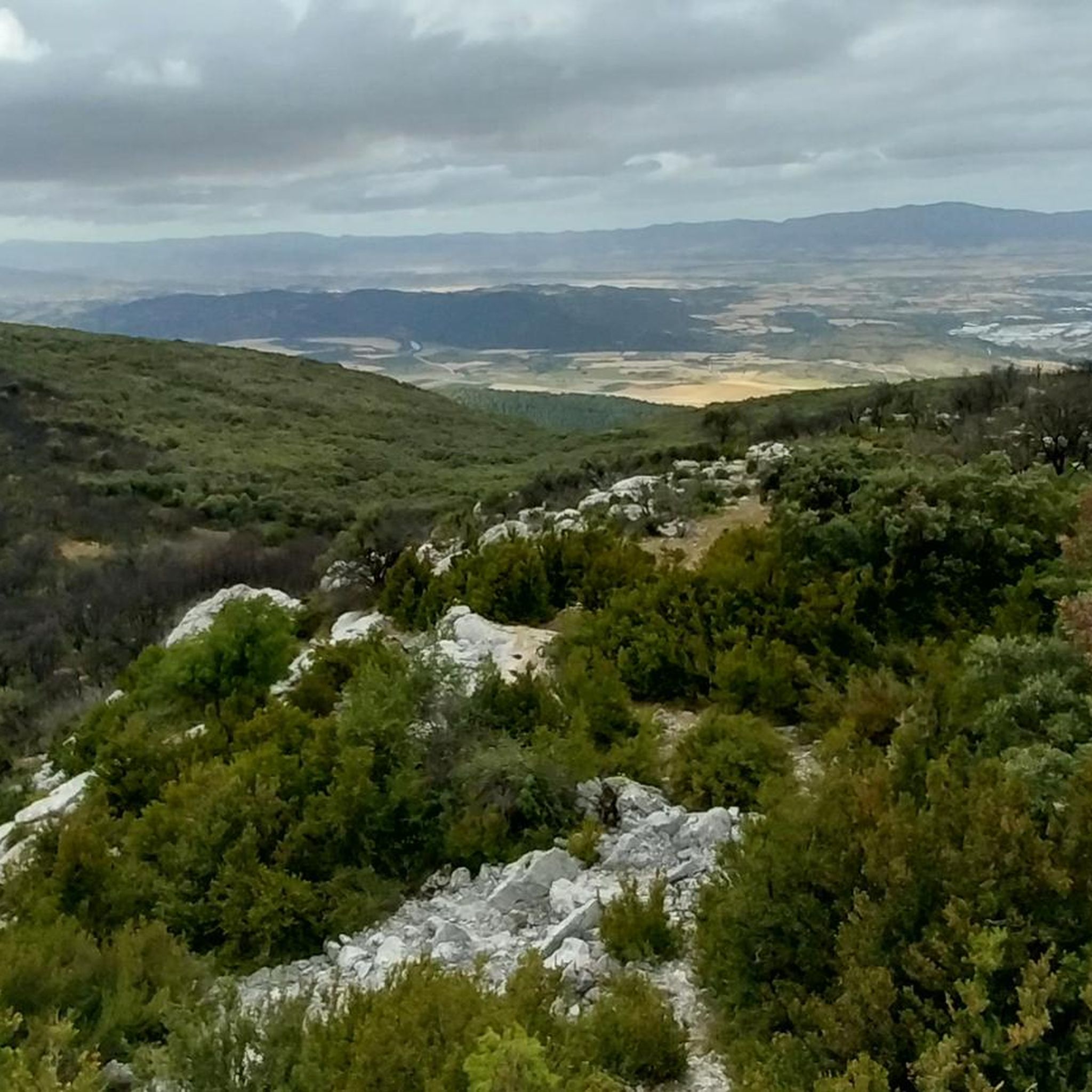
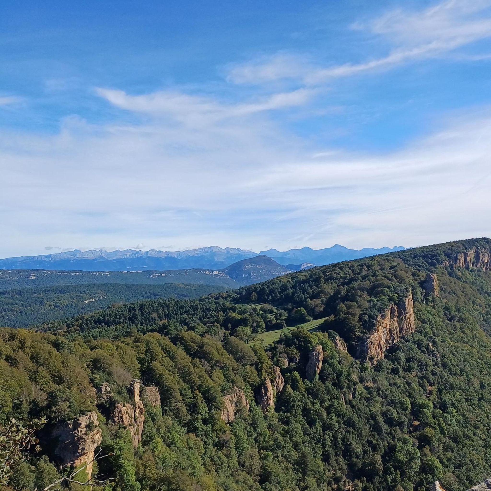
Road cycling routes in Lic Sierra De Ugarra traverse a landscape characterized by mountainous terrain, deep river valleys, and forested slopes within the Pyrenees region. The area features challenging ascents and descents, often leading through passes and gorges. Road cyclists can expect varied topography, from winding valley roads to higher elevation routes.
Best road cycling routes in Lic Sierra De Ugarra
- The most popular road cycling route is Ochagavía – Ochagavía loop from Aspurz Cruce, a 37.0 miles (59.5 km) trail that takes 2 hours 26 minutes to complete, offering a moderate challenge through scenic landscapes.
- Another top favourite among local road cyclists is Burgui – Foz de Arbayun loop from Domeño, a difficult 48.3 miles (77.8 km) path. This route features significant elevation gain and panoramic views of the Foz de Arbayun gorge.
- Local road cyclists also love the Roncal Valley and Laza Pass Loop, a 50.5 miles (81.3 km) trail leading through mountain passes and the Roncal Valley, often completed in about 3 hours 55 minutes.
- Road cycling in Lic Sierra De Ugarra is defined by mountain passes, river valleys, and forested slopes. The region offers a network of routes suitable for moderate to difficult skill levels.
- The routes in Lic Sierra De Ugarra are highly rated by the komoot community with an average score of 4.4 stars from more than 10 reviews. Over 600 road cyclists have used komoot to explore Lic Sierra De Ugarra's varied terrain.
Last updated: August 27, 2026
2.0
(1)
23
riders
59.5km
02:26
370m
370m
Moderate road ride. Good fitness required. Mostly well-paved surfaces and easy to ride.
5.0
(1)
8
riders
82.1km
04:15
1,470m
1,470m
Hard road ride. Very good fitness required. Mostly well-paved surfaces and easy to ride.

Sign up for free
4.8
(4)
213
riders
81.3km
03:56
1,130m
1,120m
The "Roncal Valley and Laza Pass Loop" plunges you into the rugged beauty of the Navarrese Pyrenees, offering a road cycling experience that blends physical challenge with breathtaking scenery. Spanning 50.5 miles (81.3 km) with an elevation gain of 3694 feet (1126 meters), the route guides you through beech and oak forests, mountain meadows, and limestone formations, with the Esca River winding its way through the valley. This is a challenging route that will test your limits, but the panoramic views from Laza Pass (1,129 m) and the immersion in the wild natural landscape are an unparalleled reward.
This 3-hour and 55-minute route demands a very good level of physical fitness, as it includes strenuous climbs and some unpaved sections that can add an extra layer of difficulty. No specific permits or fees are mentioned, but it's always wise to carry sufficient water and be prepared for mountain conditions. To fully enjoy this adventure, we recommend planning your visit in spring or autumn, when the weather is most favorable for road cycling in the Roncal Valley.
The Roncal Valley is renowned for its traditional character and diverse landscapes, ranging from lush vegetation to unique geological formations. This route not only allows you to conquer Laza Pass but also to explore charming local villages like Urzainqui, which offer an authentic glimpse into Pyrenean life. Its proximity to France also opens the door to future cross-border cycling adventures, making this area an excellent starting point for further exploration of the Pyrenees.
10
riders
49.0km
02:35
950m
950m
This difficult 30.5-mile road cycling route from Navascués through Foz de Burgui offers challenging climbs and stunning gorge views.
9
riders
67.5km
03:11
860m
860m
Moderate road ride. Good fitness required. Mostly well-paved surfaces and easy to ride.
Get access to more routes and recommendations from other explorers.
Sign up for free
Already have an account?
Our route recommendations are based on thousands of hikes, rides, and runs completed by other people on komoot.
Start today with a free account
Your next adventure awaits.
Login or Signup

Tips from the Community

One of the most beautiful `villages in Navarra with its stone houses, cobbled streets, and medieval bridges. It is a village that due to its location we can consider as the gateway to explore the Selva de Irati.
0
0

Burgui is the start in the lower or southern part of the Roncal Valley, which ends in Belagua, at the foot of Piedra de San Martín. It is a very beautiful and quiet town, with all kinds of services to stay for several days and use it as a starting point for the various bike tours in the area. It is also highly recommended to reach Burgui via the road coming from Salvatierra de Esca, following the course of the Esca river through the Foz de Esca.
0
0
It is a beautiful mountain pass that links the Roncal Valley (Navarra) with the Ansó Valley (Aragon). It is a mountain pass that I am very fond of for several reasons: (i) the road is very winding, with many curves and hairpin bends, especially on the Navarre side (ii) it is a mountain pass with no steep slopes on either side (iii) there is hardly any car or motorcycle traffic. It is very peaceful and you can fully concentrate on the climb, on your pace, on your sensations. The asphalt on the Aragonese side is in very poor condition, although that also makes it attractive because you can imagine what the roads were like that professionals used in the 90s and before. It can be linked to other ports and is a beautiful gateway to the Pyrenees.
0
0
The Puerto de Laza is a small and beautiful hill that joins the valleys of Roncal (starting from Isaba) and Salazar (starting from Ochagavía) in the Navarrese Pyrenees. Both sides are very similar: a very easy start on a winding road, in perfect condition but without a hard shoulder, passing through small towns and going up the course of the respective rivers Anduña (Salazar valley) and Urbi (Roncal valley); a final stretch of 2 - 3 kms that is harder without being too much so, although there are some slopes above 10%. The Salazar valley side becomes harder when leaving behind the detour to the Larrau port. From here to the port there are 3 km with an average gradient of 7%. On the other hand, the Roncal valley side becomes harder when overcoming a bridge over the river that has been with us since we left Isaba behind. From here it is barely 2 km with an average gradient of 7%. From a landscape perspective, it is a port that I love because you can enjoy the exuberance of the vegetation of the Pyrenees, crossing narrow valleys and only with panoramic views when you reach the top, where there is a viewing point that is worth looking out at. A port that I always recommend for enjoying cycle tourism. I leave you the profile of both sides produced by the website www.cyclingcols.com --> http://www.cyclingcols.com/col/Laza
0
1

The views from the top are wonderful. You have to stand quietly to enjoy the beauty, especially on sunny spring and summer days.
0
0
It is a beautiful port of about 8 - 9 km for each of its slopes that connects Ochagavía with the sanctuary of Nuestra Señora de las Nieves in the Irati Jungle, one of the entrances to the forest. It is highly recommended to try both slopes because, although similar in length and hardness, they are very different in terms of landscape. The southern slope of Ochagavía is very open, with views of the valley and the surrounding mountains at all times, crossing mountain meadows. On the other hand, on its northern slope, the climb runs through the Irati Forest surrounded by beech trees. The final part of this slope is clear, although you are inside a very charming gorge. The views from the top are simply wonderful. It is worth stopping carefully, observing the views and taking some photos. It is usually windy, so a windbreaker is essential.
0
0
Very charming town located in the Salazar valley, just 2 km from Ochagavía, which is a larger town maintaining the rustic and traditional charm of the towns in the Navarrese valleys. From Escaroz there is the road that connects the Salazar valley with the route that enters Spain via Roncesvalles. This road with ports and elevations is especially recommended.
0
0
Frequently Asked Questions
How many road cycling routes are available in Lic Sierra De Ugarra?
There are over 20 road cycling routes in Lic Sierra De Ugarra, catering to various skill levels. The region is known for its mountainous terrain, river valleys, and forested slopes, offering diverse cycling experiences.
Are there any easy or beginner-friendly road cycling routes in Lic Sierra De Ugarra?
Lic Sierra De Ugarra primarily features moderate to difficult road cycling routes due to its mountainous terrain. There are no routes explicitly categorized as 'easy' in the current selection, but moderate routes like Ochagavía – Ochagavía loop from Aspurz Cruce offer a good starting point for those comfortable with some elevation.
What are some challenging road cycling routes in Lic Sierra De Ugarra?
For experienced cyclists seeking a challenge, routes like Burgui – Foz de Arbayun loop from Domeño and Roncal Valley and Laza Pass Loop offer significant elevation gains and panoramic views. These routes traverse mountain passes and gorges, providing a demanding yet rewarding experience.
What is the typical duration for road cycling routes in Lic Sierra De Ugarra?
Route durations vary depending on distance and elevation. For example, the Ochagavía – Ochagavía loop from Aspurz Cruce typically takes around 2 hours 26 minutes, while more challenging routes like the Roncal Valley and Laza Pass Loop can take closer to 4 hours.
Are there circular road cycling routes available in Lic Sierra De Ugarra?
Yes, many routes in Lic Sierra De Ugarra are designed as loops, allowing you to start and finish at the same point. Examples include the Sierra de Illón Loop and the Burgui – Foz de Arbayun loop from Domeño.
What is the best time of year for road biking in Lic Sierra De Ugarra?
Given its location in the Pyrenees with mountainous terrain, the best time for road biking in Lic Sierra De Ugarra is typically from late spring through early autumn (May to October). During these months, the weather is generally more stable, and mountain passes are clear of snow, offering optimal conditions for cycling.
What kind of scenery can I expect along the road cycling routes in Lic Sierra De Ugarra?
Road cycling in Lic Sierra De Ugarra offers diverse scenery, including deep river valleys, dense forested slopes, and panoramic views from mountain passes. Routes often traverse picturesque villages and provide glimpses of the region's natural beauty, such as the Foz de Arbayun gorge.
What do other road cyclists enjoy most about road cycling in Lic Sierra De Ugarra?
The area is highly rated by the komoot community, with an average score of 4.4 stars from over 10 reviews. Cyclists often praise the challenging ascents and descents, the varied topography, and the stunning natural landscapes encountered along the routes.
Are there any routes that offer a good mix of moderate challenge and scenic views?
The Return to Peña Izaga from Lumbier is a moderate route that provides a balanced experience. It covers a distance of approximately 50.9 miles (82 km) with significant elevation, offering both a good workout and beautiful views of the surrounding area.
Where can I find parking for road biking in Lic Sierra De Ugarra?
While specific parking locations are not detailed for each route, many routes start from towns or villages like Aspurz Cruce, Domeño, or Lumbier. These locations typically offer public parking facilities, making them convenient starting points for your road cycling adventures.
Are there cafes or pubs near the road bike trails in Lic Sierra De Ugarra?
The road cycling routes in Lic Sierra De Ugarra often pass through or near small towns and villages within the Pyrenees region. These settlements are likely to have local cafes, restaurants, or pubs where you can stop for refreshments and rest during your ride.
Most popular routes in Lic Sierra De Ugarra

Get inspired with the komoot mobile app


Explore more
Browse the best Road cycling routes in other regions.
