The best cycling routes in Paisaje Protegido De Covalagua
4.3
(7)
70
riders
6
rides
Touring cycling in Paisaje Protegido De Covalagua offers routes through a unique karst landscape in the north of Palencia, Spain. The region is characterized by spectacular geological formations, including sinkholes, canyons, and dramatic cliffs, alongside impressive hanging synclines known as "loras." Diverse ecosystems feature beech, gall oak, and Pyrenean oak forests, providing varied scenery and shaded sections. The Covalagua Waterfall, a natural monument and source of the Ivia River, adds a notable natural feature to the area.
Best touring cycling…
Last updated: July 15, 2026
2
riders
Moderate bike ride. Good fitness required. Mostly paved surfaces. Suitable for all skill levels.
9
riders
Hard bike ride. Very good fitness required. Mostly paved surfaces. Suitable for all skill levels.

Sign up for free
3.0
(2)
8
riders
Hard bike ride. Very good fitness required. Mostly paved surfaces. Suitable for all skill levels.
2
riders
Hard bike ride. Very good fitness required. Mostly paved surfaces. Suitable for all skill levels.
5.0
(1)
5
riders
43.0km
02:39
460m
460m
Hard bike ride. Very good fitness required. Mostly paved surfaces. Suitable for all skill levels.
Our route recommendations are based on thousands of hikes, rides, and runs completed by other people on komoot.
Start today with a free account
Your next adventure awaits.
Login or Signup
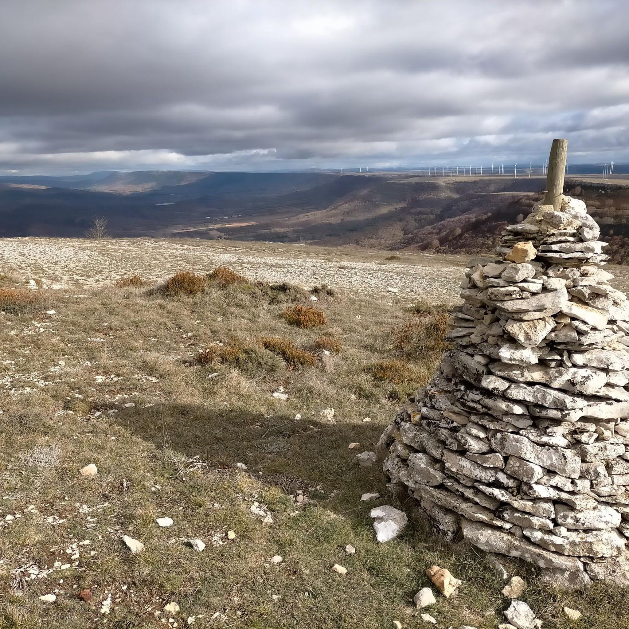
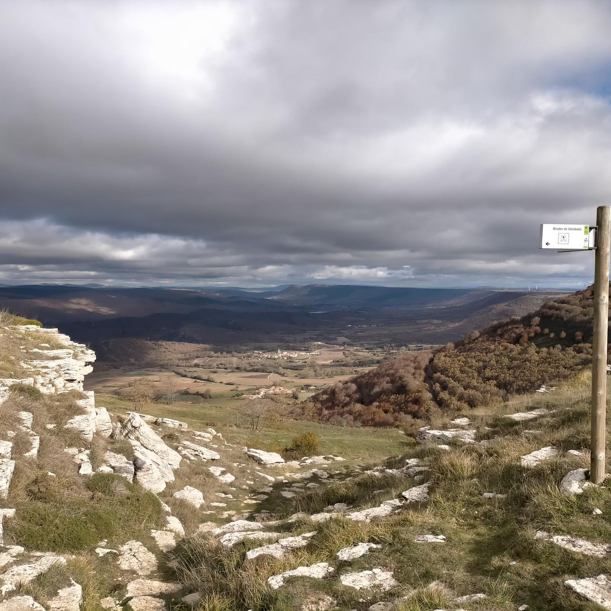
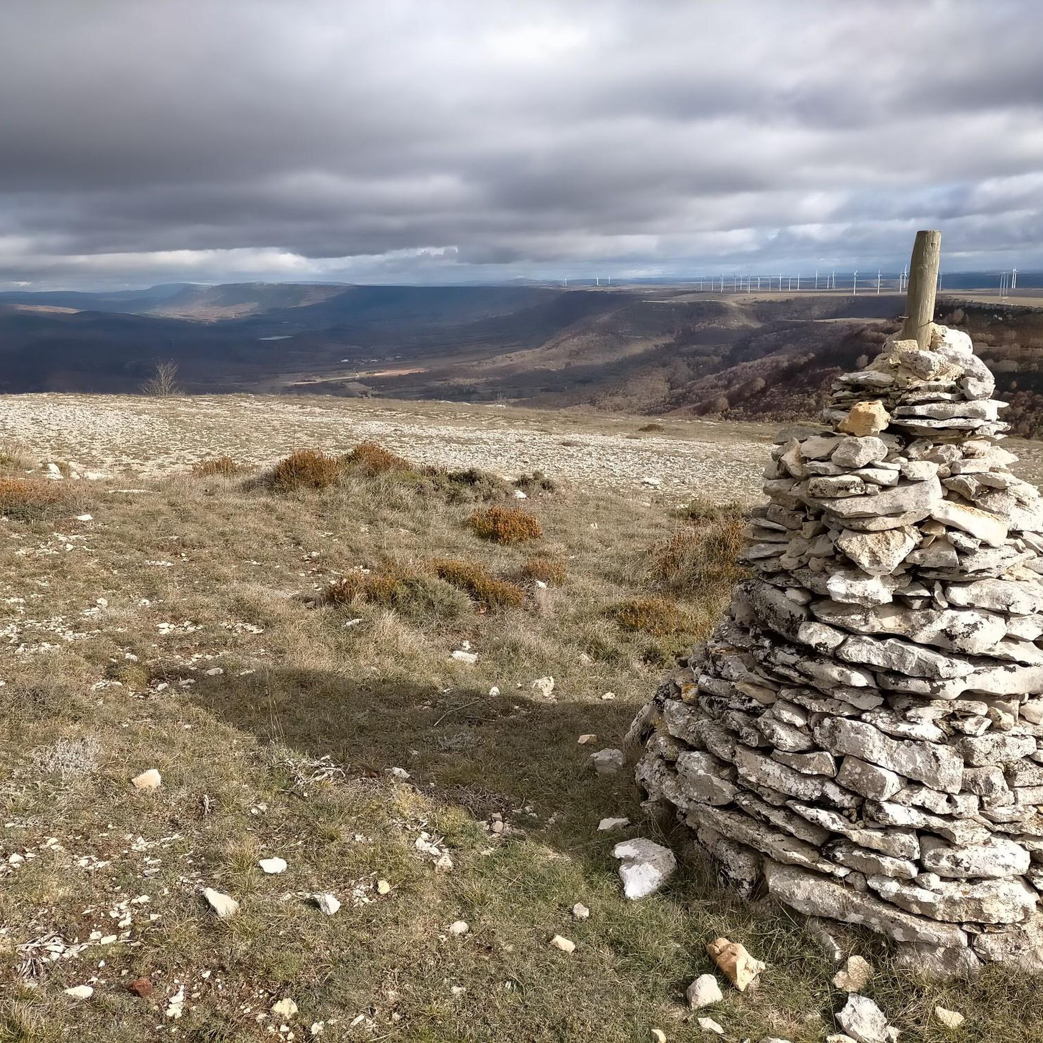
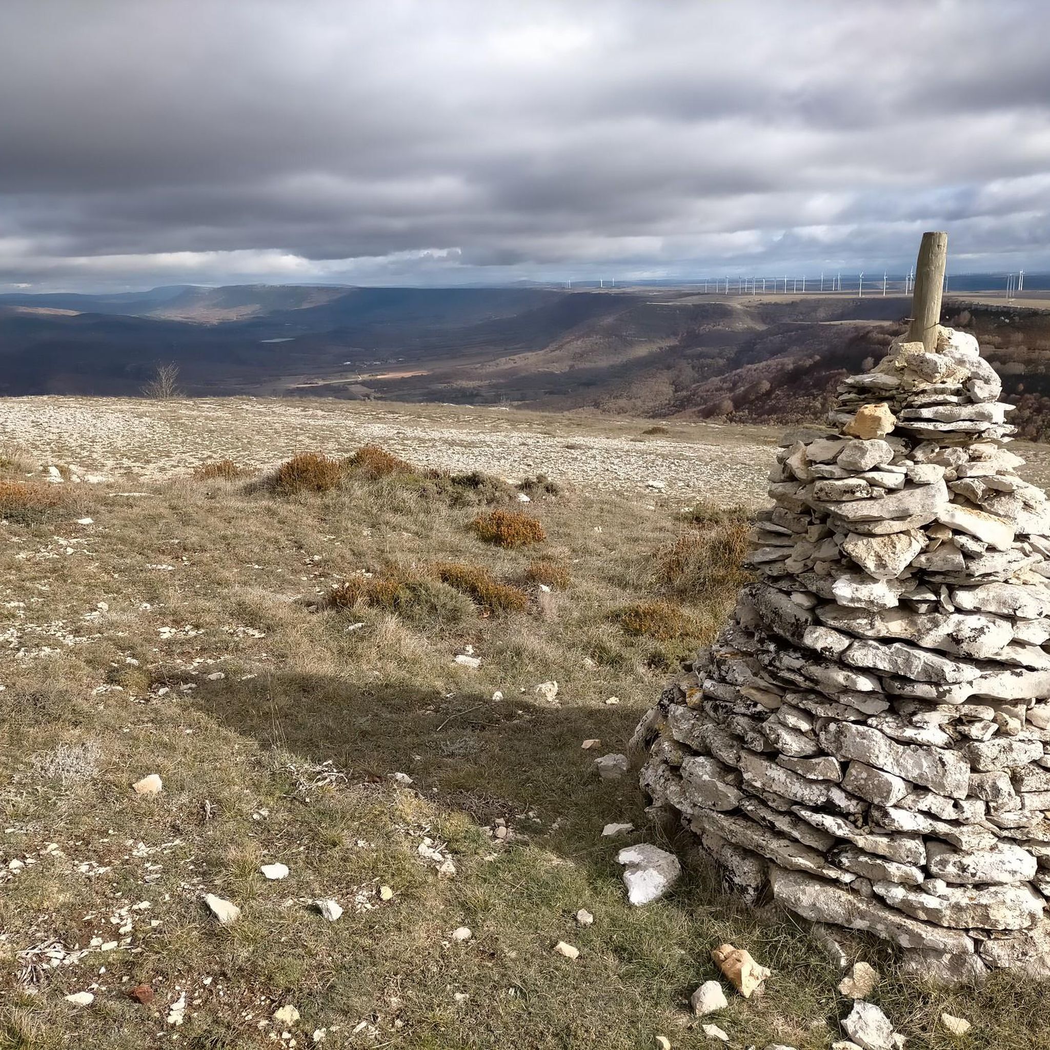

Tips from the Community

It is a small bridge that crosses the waters of the Rubagón river. On one side there is a clearing with information panels. A perfect spot for a short stop on your route.
0
0

Steep but short and manageable climb
0
0

In the Plaza de España, the nerve centre of the town.
1
0

The visit to the neighborhoods of San Pedro and Santa María is worth it for the heritage and landscapes but it has a price on the legs, you have to climb Monte de la Ruya again to connect with the main itinerary and overcome the infernal slope that We saw before the detour, which also has a trap because after a short descent there is another similar section to a hill, the prize is fantastic views of the Palentina Mountain. The road enters the meadows and mountains of La Ojeda again and there is a fun stretch, climbing the GPS average for several kilometers until Dehesa de Montejo, where the detour for the Perazancas variant comes out on the left. The route continues to the right, crosses the Cervera de Pisuerga road and climbs the slope of Peña Umoma to a hill that finally marks the entrance to the Pisuerga valley through the beautiful valley of Valdeados. The descent ends in Vado, it is noon, time for a snack but there is no bar or grocery store. Cervera is three kilometers away but it is the place where we plan to finish the stage and we decided to continue and spend the afternoon with the energy bars. The path continues along the charming bank of the Pisuerga River, favorable terrain, river landscape, good climate and change of environment. On the route there are yellow arrows of the Camino Olvidado or Camino de la Montaña, a Camino de Santiago very popular in the 12th and 13th centuries, starting from Bilbao, running along the southern slope of the Cantabrian Mountains and connecting with the Camino Francés in El Bierzo. In Barcenilla de Pisuerga, the milestones of the Natural Trail cross the Pisuerga River via a pedestrian walkway and change course, beginning the climb through the Mudá valley until the connection with the GR-1. The climb begins in Rueda de Pisuerga, the route passes by the church of San Cristóbal, which preserves the Romanesque doorway from the 12th century, and continues through Vallespinoso de Cervera to San Cebrián de Mudá, a town with a mining tradition and the last town on the Natural Trail of the Palentine Romanesque. In the square there are some wagons from the mining era, when the Cok Coal Route was the main economic channel of the valley. The church of San Cornelio and San Cipriano is on a hill, is Romanesque from the 13th century and was declared a Site of Cultural Interest in 1993. The climb to the Historical Trail passes through the European Bison Interpretation Center, runs through a mountain oak grove and ends at a small hill below the imposing Valdecebollas (2,143 m), entrance to the La Pernía valley and the upper Pisuerga. The views are stunning. The end of the stage is Cervera de Pisuerga, with accommodation, camping and complete services. The final stretch to complete a great day of gravel cycling continues through the Castillería valley and at the Estalaya crossroads, where the climb to the Verdeña Fossil Forest is, a path leaves on the left that leads to Vañes off the road. In this section it is important to have the track downloaded because there are no milestones on the route. You must continue along the road for about 500 meters towards Cervera and at the fork of the road take a detour to the left towards Rabanal de los Caballeros and Valdasornín. The rest of the way follows the road that goes down to the urban complex of Cervera de Pisuerga.
0
0

Temple built at the end of the 12th century and beginning of the 13th, it is located on a beautiful hillock, on the outskirts of Barrio de Santa María, near the Aguilar de Campoo reservoir.
2
0
Ruins of the Castillo de Aguilar located on top of a strategic hill, watching over the beautiful biscuit town. The keep dates from the 9th and 10th centuries, while most of the walls are from the 14th and 15th centuries. Next to the Romanesque church of Santa Cecilia, on the same hill, it creates an impressive photographic image.
2
0


This medieval stone bridge is on the outskirts of Salinas de Pisuerga, a picturesque little town on the banks of the Pisuerga River.
1
0
Frequently Asked Questions
What kind of terrain can I expect while touring cycling in Paisaje Protegido De Covalagua?
Paisaje Protegido De Covalagua is defined by its spectacular karst topography, featuring sinkholes, canyons, caves, and dramatic cliffs. You'll also encounter impressive hanging synclines known as "loras." The routes traverse diverse ecosystems, including beech, gall oak, and Pyrenean oak forests, offering varied scenery and shaded sections. This creates a visually engaging and varied terrain for cyclists.
Are there touring cycling routes suitable for different skill levels?
Yes, the region offers a range of touring cycling routes. While there are no easy routes listed, you'll find 2 moderate routes and 9 difficult routes. For example, the Villanueva de la Nía loop from Quintanilla de las Torres is a moderate 22.1-mile (35.6 km) trail, while the Collegiate Church of St. Michael – Aguilar de Campoo Castle loop from Aguilar de Campoo is a more challenging 38.7-mile (62.3 km) path.
What natural attractions can I see along the touring cycling routes?
A prominent natural monument you can visit is the Covalagua Waterfall, where water emerges from the interior of the Páramo de la Lora. This 20-meter waterfall is particularly spectacular during rainy seasons. The area also features diverse vegetation, including beech forests and gall oaks, providing varied scenery and pleasant shaded routes.
Are there any notable viewpoints or landmarks to visit by bike?
Absolutely. The Valcabado Viewpoint offers expansive views over the Valle de Valderredible and the Páramo de la Lora, making it a rewarding stop. Near the Cueva de los Franceses, you can also find the Menhir de Canto Hito, a large, ancient stone monument that adds a cultural dimension to your tour. Another significant landmark is the Wolves' Well.
Are there circular touring cycling routes in the area?
Yes, many of the touring cycling routes in Paisaje Protegido De Covalagua are designed as loops, allowing you to start and end in the same location. An example is the Collegiate Church of St. Michael – Collegiate Church of San Miguel loop from Aguilar de Campoo, a 31.6-mile (50.8 km) trail.
What do other touring cyclists enjoy most about the routes in Paisaje Protegido De Covalagua?
The touring cycling routes in Paisaje Protegido De Covalagua are highly rated by the komoot community, with an average score of 4.4 stars from over 13 reviews. Cyclists often praise the unique karst topography, the diverse forests, and the notable viewpoints like Mirador de Valcabado, which offer expansive views and a blend of natural beauty and cultural exploration.
What is the best season to visit Paisaje Protegido De Covalagua for touring cycling?
The region's diverse vegetation, including beech and oak forests, suggests pleasant cycling during spring and autumn when foliage is vibrant or changing. The Covalagua Waterfall is particularly spectacular during rainy seasons or thaws, indicating that late winter or spring might offer the best views of this natural monument. Summer would provide warmer, drier conditions, though some shaded forest routes would be welcome.
Are there any routes that pass by historical sites or cultural points of interest?
Yes, some routes offer a blend of natural beauty and cultural exploration. For instance, the Collegiate Church of St. Michael – Aguilar de Campoo Castle loop from Aguilar de Campoo passes historical landmarks. Additionally, the Well of the Cueva de los Franceses, a complex of underground galleries with historical connections, is a significant point of interest in the area.
Can I find routes that offer panoramic views?
Absolutely. The region is known for its impressive vistas. The Mirador del Somo – Mirador de Valcabado loop from Aguilar de Campoo is a difficult 30.5-mile (49.2 km) route specifically designed to take you past stunning viewpoints like Valcabado Viewpoint, offering expansive natural balconies over the landscape.
What kind of wildlife might I encounter while cycling?
The Paisaje Protegido De Covalagua is rich in wildlife, being home to deer, roe deer, wild boars, and wolves. Its location between Mediterranean and Eurosiberian regions contributes to a high ornithological value, with numerous raptors nesting on rocky outcrops. Cyclists might enjoy birdwatching and could encounter various species along their routes.
Is there parking available near the touring cycling routes?
While specific parking locations for each route are not detailed, the region is promoted for outdoor activities, suggesting that parking facilities are generally available at common starting points or near major attractions. It's advisable to check local information for specific trailheads or villages like Aguilar de Campoo or Quintanilla de las Torres, which serve as starting points for many routes.
Are there any longer, more challenging touring cycling routes for experienced cyclists?
Yes, for experienced cyclists seeking a challenge, there are several difficult routes. The San Martín de Valdelomar – Villanueva de la Nía loop from Mataporquera is a difficult 26.7-mile (42.9 km) route with significant elevation gain, offering a demanding yet rewarding experience through the protected landscape.
Most popular routes in Paisaje Protegido De Covalagua
Most popular attractions in Paisaje Protegido De Covalagua

Get inspired with the komoot mobile app


Explore more
Browse the best Cycling routes in other regions.
