The best running trails in Zec Montes De Picaza
48
runners
6
runs
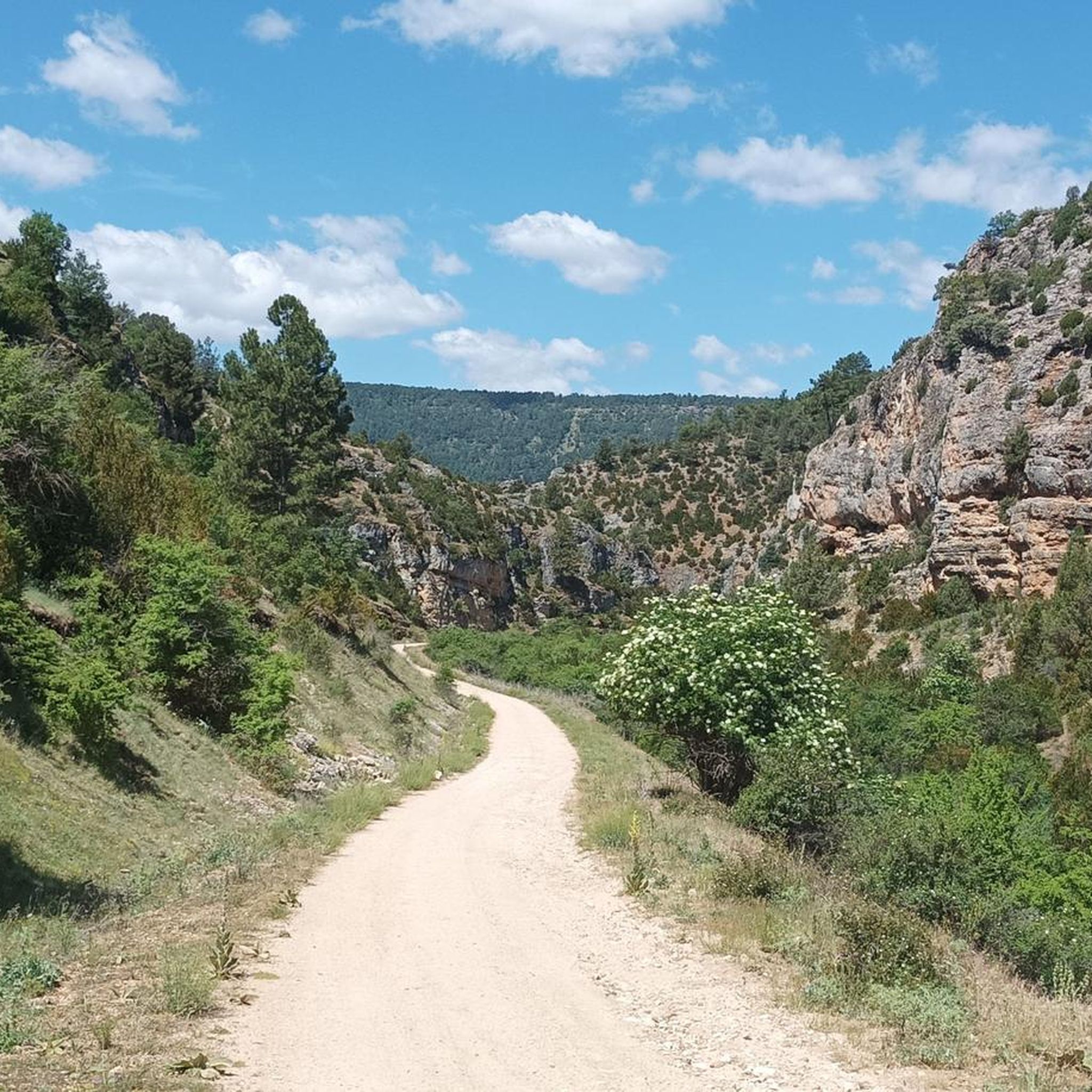
Jogging in Zec Montes De Picaza offers diverse terrain across a protected natural area spanning over 15,100 hectares. The region is characterized by extensive forests of Scots pine, savin juniper, and continental holm oaks, creating varied and visually appealing environments. Its topography features a caliche-dolomitic substrate with supra-Mediterranean and oro-Mediterranean vegetation, providing varied scenery for outdoor activities. Runners can find routes through dense forests and open plains, suitable for different fitness levels.
Best jogging routes in Zec Montes De Picaza
- The most popular jogging route is Peralejos de las Truchas loop from Peralejos de las Truchas, a 6.7 miles (10.8 km) trail that takes 1 hour 24 minutes to complete. This difficult route features an elevation gain of 990 feet (302 m) through varied natural landscapes.
- Another top favourite among local runners is Castle of Molina de Aragón – Tower of Aragón loop from Molina de Aragón, a moderate 5.6 miles (9.1 km) path. This route offers views of historical landmarks and the surrounding natural environment, with an elevation gain of 567 feet (173 m).
- Local runners also love the Camino del Cid: Molina de Aragón and Castilnuevo Loop, a 7.9 miles (12.7 km) trail leading through diverse forest and open landscapes, often completed in about 1 hour 25 minutes.
- Jogging in Zec Montes De Picaza is defined by extensive pine and juniper forests, varied topography, and open plains, offering a serene and unspoiled environment. The network provides options for different ability levels, from moderate paths to more challenging trails.
- The guide includes highly-rated routes that showcase the best of the region's landscape. More than 40 runners have used komoot to explore Zec Montes De Picaza's varied terrain.
Last updated: July 11, 2026
2
runners
19.9km
02:27
520m
510m
Hard run. Very good fitness required. Mostly paved surfaces. Suitable for all skill levels.
2
runners
19.3km
02:28
470m
480m
Hard run. Very good fitness required. Mostly paved surfaces. Suitable for all skill levels.

Sign up for free
2
runners
5.81km
00:41
110m
110m
Moderate run. Good fitness required. Mostly paved surfaces. Suitable for all skill levels.
4
runners
10.8km
01:24
300m
300m
Hard run. Very good fitness required. Mostly paved surfaces. Suitable for all skill levels.
10
runners
9.09km
01:05
170m
170m
Moderate run. Good fitness required. Mostly paved surfaces. Suitable for all skill levels.
Our route recommendations are based on thousands of hikes, rides, and runs completed by other people on komoot.
Start today with a free account
Your next adventure awaits.
Login or Signup

Tips from the Community

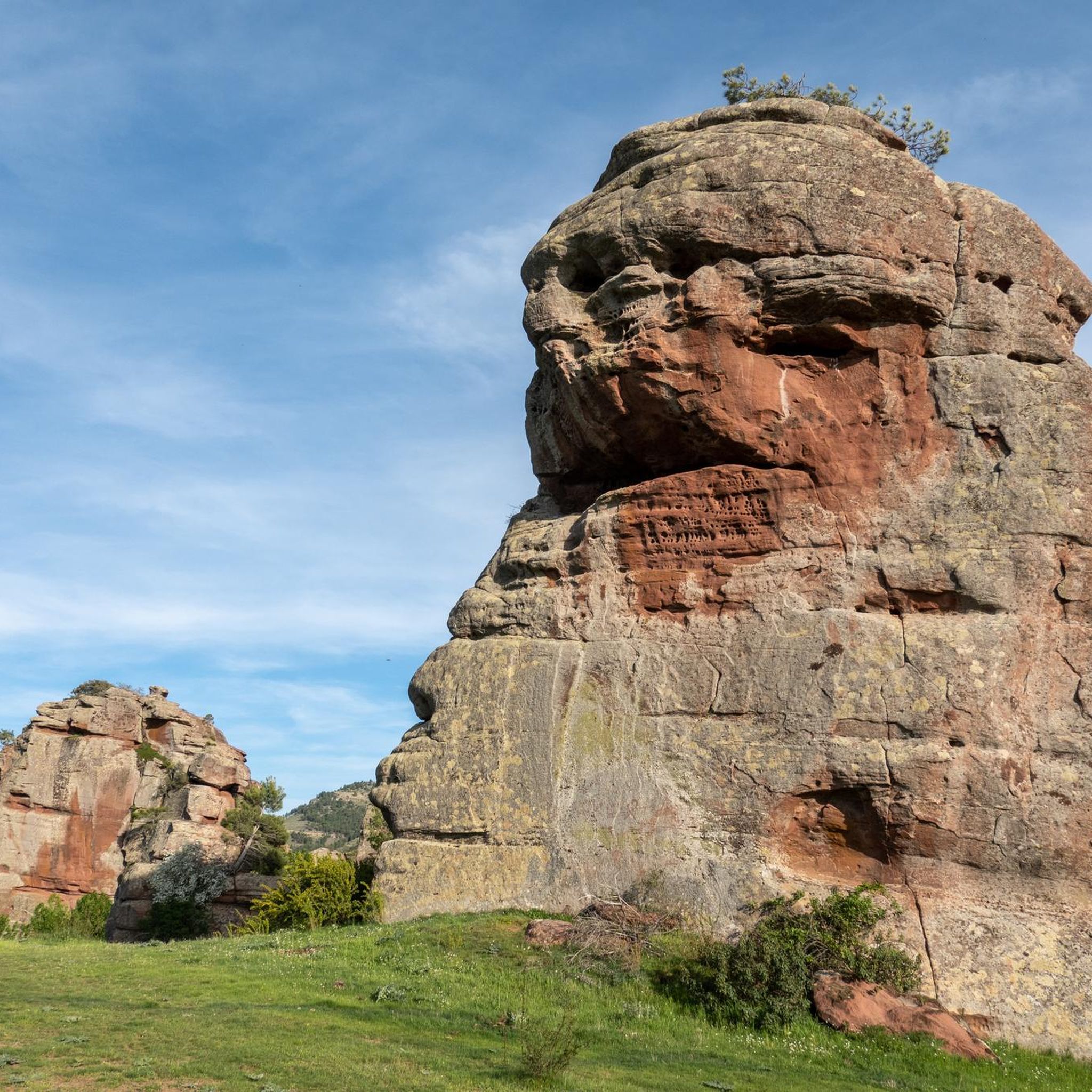
Emblematic place, with natural sculptures, visible from the road itself
0
0

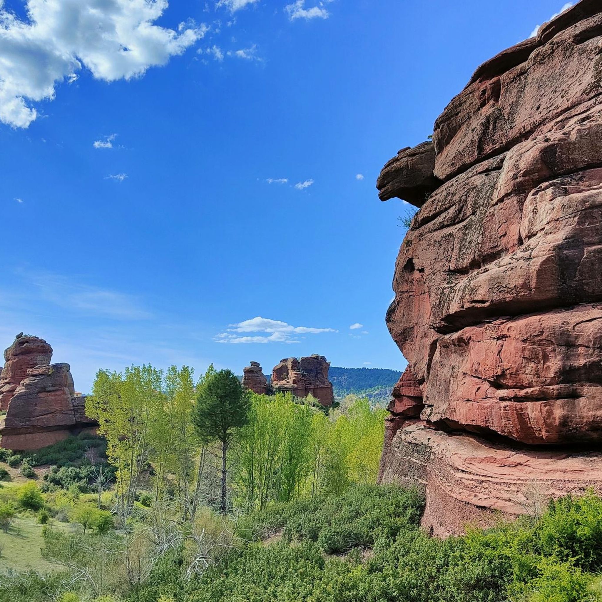
Within the great beauty of the Enchanted City of Chequilla are the Towers, near the Church Square.
0
0

These rock formations create a very unique setting at the entrance to the town of Chequilla. Erosion over hundreds of thousands of years has formed these whimsical figures that serve as a tourist attraction for anyone who visits this small town.
0
0

Chequilla is a small and picturesque village in the province of Guadalajara, known for its impressive rocky landscape and tranquility. The houses of Chequilla are nestled in red sandstone rock formations, creating a unique and charming landscape. Chequilla is a perfect place to disconnect and enjoy nature in a quiet and welcoming environment.
4
0
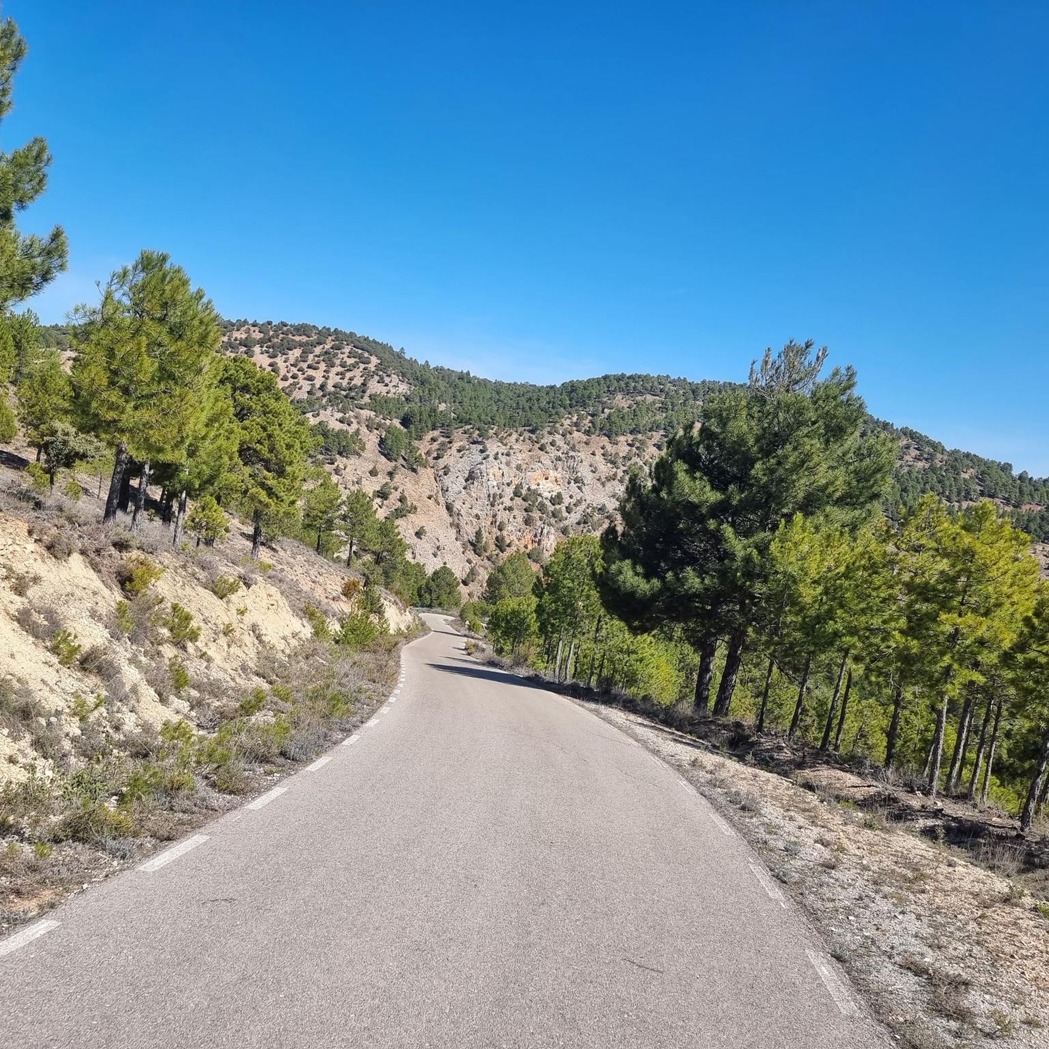
Peralejos de las Truchas is a charming village in the heart of the Alto Tajo Natural Park, ideal for a rural getaway. Peralejos de las Truchas is known for its unspoiled natural surroundings and tranquillity, making it a perfect destination to unwind and enjoy nature.
4
0

Paralejos de las Truchas is a beautiful municipality in the province of Guadalajara. It is located in a beautiful mountainous environment nestled in the Alto Tajo natural park.
2
0

Charming mountain village in the Tierra de Molina region at the foot of Alto de las Naveras. Great place for your adventures.
1
0

Peralejos de las Truchas is a beautiful and quiet town, with stone buildings and cobbled streets, which is located —especially for us cyclists— in a perfect place to plan excursions through the Alto Tajo. It offers accommodation, has a restaurant and a small store where you can recharge food and energy.
0
0
Frequently Asked Questions
What kind of terrain can I expect on the running routes in Zec Montes De Picaza?
The region offers a diverse range of terrain, from extensive forests of Scots pine, savin juniper, and holm oaks to open plains. The topography is built upon a caliche-dolomitic substrate, providing varied scenery. While many trails consist of accessible paths, some areas with higher elevation changes may require sturdy shoes. You'll find a continuous mosaic of pines and savin junipers stretching across the horizon.
Are there running routes suitable for beginners or those with lower fitness levels?
Yes, Zec Montes De Picaza offers routes suitable for various fitness levels. While some trails are more challenging, you can find paths with shorter distances and less elevation gain, ideal for any fitness level. For example, the Tower of Aragón – Castle of Molina de Aragón loop from Molina de Aragón is a moderate 3.7-mile route with manageable elevation.
How many running routes are available in Zec Montes De Picaza?
Komoot features several highly-rated running routes in Zec Montes De Picaza, offering options for different ability levels. The guide highlights five distinct routes, ranging from moderate to difficult, showcasing the best of the region's diverse landscapes.
Are there any circular running routes in the area?
Yes, many of the routes in Zec Montes De Picaza are circular, allowing you to start and finish in the same location. For instance, the Peralejos de las Truchas loop from Peralejos de las Truchas is a popular circular option, as is the Camino del Cid: Molina de Aragón and Castilnuevo Loop.
What kind of natural features or wildlife might I encounter while running?
Zec Montes De Picaza is known for its exceptional natural beauty and diverse ecosystems. You'll run through extensive forests of Scots pine, savin juniper, and holm oaks. The area is also home to abundant fauna, including carnivorous mammals like badgers and wildcats, ungulates such as roe deer and deer, and impressive birds of prey like griffon vultures and peregrine falcons.
Are the running trails in Zec Montes De Picaza suitable for families?
The diverse range of routes means that some are more suitable for families than others. Look for routes described as 'moderate' with shorter distances and less elevation gain for a more family-friendly experience. The natural environment provides a great opportunity for children to experience nature.
Can I bring my dog on the running trails?
As a protected natural area within the Natura 2000 network, Zec Montes De Picaza emphasizes conservation. While many natural parks allow dogs on trails, it's always best to check local regulations regarding pets, especially in protected zones, and ensure they are kept on a leash to protect wildlife.
What is the best time of year to go running in Zec Montes De Picaza?
The varied landscapes and natural features of Zec Montes De Picaza make it appealing throughout much of the year. Spring and autumn generally offer pleasant temperatures and vibrant scenery. Summers can be warm, so early morning or late afternoon runs are advisable. Winters can be cooler, but the forests provide a serene experience.
Are there any historical landmarks or points of interest along the routes?
Yes, some routes offer views of historical landmarks. For example, the Castle of Molina de Aragón – Tower of Aragón loop from Molina de Aragón provides views of these significant historical structures, blending natural beauty with cultural heritage.
What are the typical distances and durations for running routes in this region?
The routes vary significantly. You can find shorter runs, such as the Tower of Aragón – Castle of Molina de Aragón loop at 3.7 miles (6 km) taking about 42 minutes, up to longer, more challenging trails like the Peralejos de las Truchas loop, which is 6.7 miles (10.8 km) and typically takes around 1 hour 24 minutes.
Is parking available near the trailheads in Zec Montes De Picaza?
While specific parking information for every trailhead isn't detailed, routes often start from towns or villages like Peralejos de las Truchas or Molina de Aragón, where parking facilities are generally available. It's advisable to check the starting point of your chosen route for local parking options.
What should I pack for a run in Zec Montes De Picaza?
Given the varied terrain and natural environment, it's recommended to wear sturdy running shoes, especially for routes with elevation changes. Always carry water, particularly during warmer months, and consider bringing a map or using a navigation app like komoot, as well as sun protection and appropriate layers for changing weather conditions.
Most popular routes in Zec Montes De Picaza

Get inspired with the komoot mobile app


Explore more
Browse the best Running Trails & Routes in other regions.
