Zec Sabinares Rastreros De Alustante-Tordesilos
Zec Sabinares Rastreros De Alustante-Tordesilos
The best cycling routes in Zec Sabinares Rastreros De Alustante-Tordesilos
4.8
(7)
220
riders
37
rides
Touring cycling routes in Zec Sabinares Rastreros De Alustante-Tordesilos traverse a region characterized by extensive creeping juniper forests, creating a distinctive "leopard skin" landscape. The area features tomillar-pradera formations, low scrubland, and various oak and Mediterranean juniper forests. As part of the broader Molina-Alto Tajo Geopark, routes often include river canyons, gorges, plateaus, and mountainous sections with pine and savin forests. These varied terrains offer diverse cycling experiences within the southeastern part of Guadalajara, Spain.
Best touring cycling routes in…
Last updated: October 17, 2026
5.0
(1)
34
riders
99.2km
08:17
1,620m
1,620m
Hard bike ride. Very good fitness required. Mostly paved surfaces. Suitable for all skill levels.
5.0
(1)
11
riders
72.5km
04:57
1,260m
1,260m
Hard bike ride. Very good fitness required. Mostly paved surfaces. Suitable for all skill levels.

8
riders
44.1km
04:36
1,090m
1,090m
Hard bike ride. Very good fitness required. Mostly paved surfaces. Suitable for all skill levels.
6
riders
106km
07:10
1,730m
1,730m
Hard bike ride. Very good fitness required. Mostly paved surfaces. Suitable for all skill levels.
3
riders
44.3km
04:27
1,070m
1,070m
Hard bike ride. Very good fitness required. Mostly paved surfaces. Suitable for all skill levels.
Get access to more routes and recommendations from other explorers.
Already have an account?
Our route recommendations are based on thousands of hikes, rides, and runs completed by other people on komoot.
Start today with a free account
Your next adventure awaits.
Popular around Zec Sabinares Rastreros De Alustante-Tordesilos
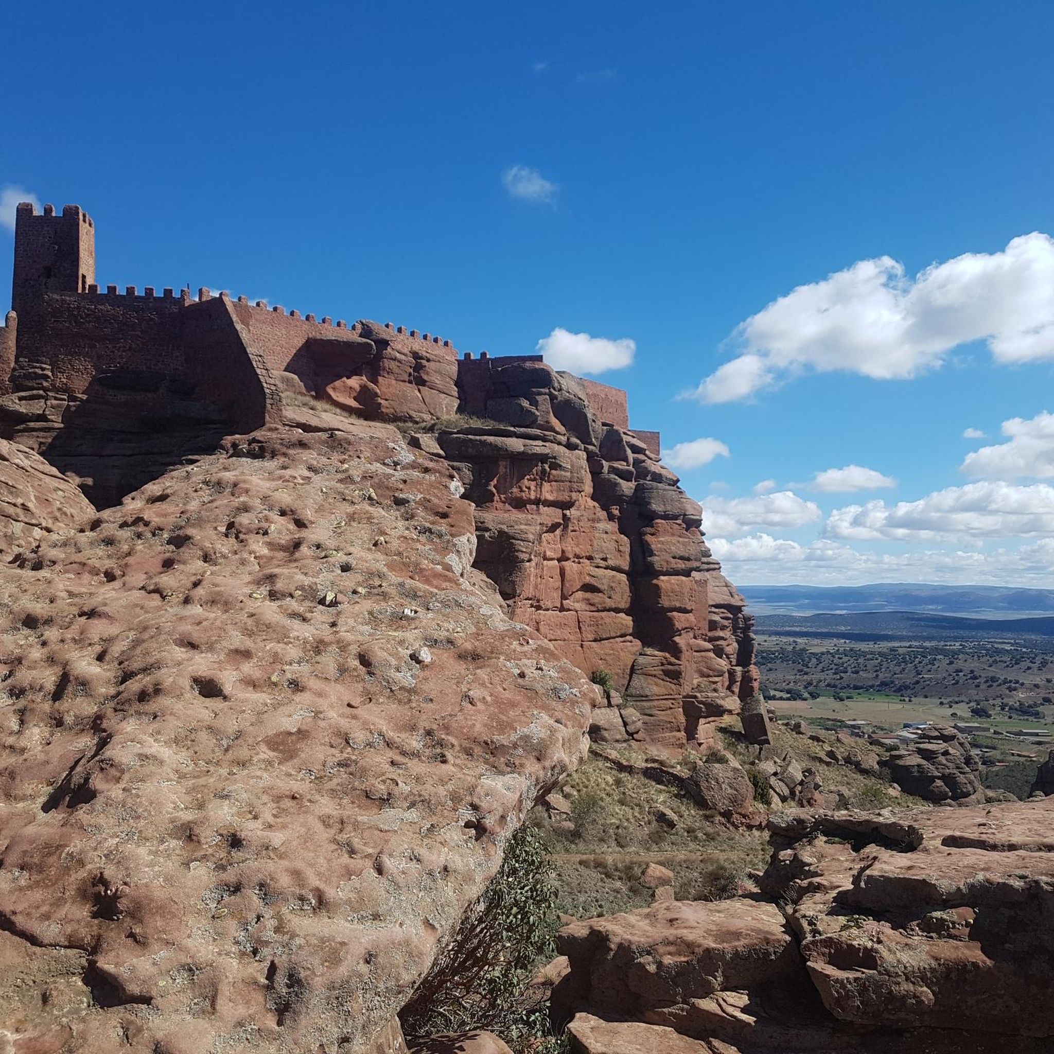
Hiking in Zec Sabinares Rastreros De Alustante-Tordesilos

Running Trails in Zec Sabinares Rastreros De Alustante-Tordesilos
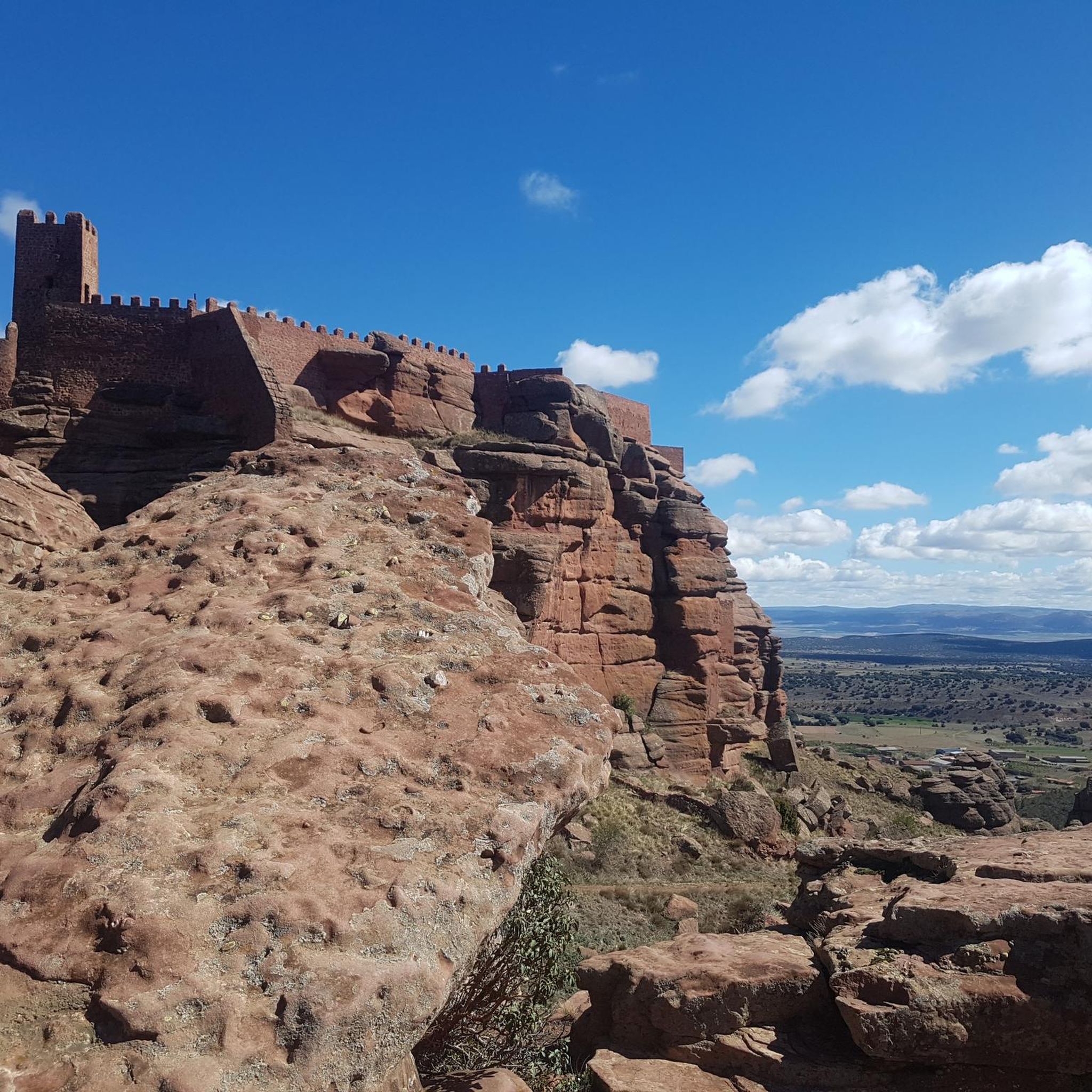
Road Cycling Routes in Zec Sabinares Rastreros De Alustante-Tordesilos

Gravel biking in Zec Sabinares Rastreros De Alustante-Tordesilos

MTB Trails in Zec Sabinares Rastreros De Alustante-Tordesilos
Tips from the Community

The municipality of Orihuela del Tremedal has many trails and paths in its surroundings available for MTB, in addition to having nearby peaks around 1900 meters.
0
0

Emblematic place, with natural sculptures, visible from the road itself
0
0

Within the great beauty of the Enchanted City of Chequilla are the Towers, near the Church Square.
0
0

Slept under the porch as it was closed today.
0
0

These rock formations create a very unique setting at the entrance to the town of Chequilla. Erosion over hundreds of thousands of years has formed these whimsical figures that serve as a tourist attraction for anyone who visits this small town.
0
0

The official source of water is located at Fuente de García, in the Montes Universales, within the municipality of Frías de Albarracín (Teruel). It is located at an altitude of approximately 1,590 meters, surrounded by pine forests and high mountain meadows. Access is very easy and well signposted. Take the A-1704 highway, which connects Frías de Albarracín with Huélamo (Cuenca). From the highway, a paved detour of approximately 2 km takes you directly to the recreational area and the monument. There is free parking next to the monument.
10
0
Access is very easy and well signposted. Take the A-1704 highway, which connects Frías de Albarracín with Huélamo (Cuenca). From the highway, a paved detour of approximately 2 km takes you directly to the recreational area and the monument. There is free parking next to the monument.
5
0
The official source is located at Fuente de García, in the Montes Universales, within the municipality of Frías de Albarracín (Teruel). It is located at an altitude of approximately 1,590 meters, surrounded by pine forests and high mountain meadows.
5
0
Frequently Asked Questions
How many touring cycling routes are available in Zec Sabinares Rastreros De Alustante-Tordesilos?
There are over 35 touring cycling routes in Zec Sabinares Rastreros De Alustante-Tordesilos, offering a wide range of experiences through its unique landscapes.
What is the typical difficulty level of touring cycling routes in this region?
The majority of touring cycling routes in Zec Sabinares Rastreros De Alustante-Tordesilos are classified as difficult, with 23 routes falling into this category. There are also 13 moderate routes, but currently no easy routes are listed. Cyclists should expect significant elevation gains and varied terrain.
What kind of landscapes can I expect to see while cycling here?
You'll experience a diverse range of landscapes, most notably the extensive creeping juniper forests that create a distinctive 'leopard skin' appearance. Routes also traverse tomillar-pradera formations, low scrubland, and various oak and Mediterranean juniper forests. As part of the broader Molina-Alto Tajo Geopark, you might also encounter river canyons, gorges, plateaus, and mountainous sections with pine and savin forests.
Are there any circular touring cycling routes available?
Yes, many routes in the area are circular. For example, the Albarracín – Main Square loop from Orihuela del Tremedal is a popular difficult loop covering 82.4 km. Another option is the The towers of Chequilla – Orihuela del Tremedal loop from Orihuela del Tremedal, which is 72.5 km long.
What is the best time of year for touring cycling in Zec Sabinares Rastreros De Alustante-Tordesilos?
The region is suitable for touring cycling all year round. However, spring and autumn generally offer the most pleasant temperatures for longer rides, while summer can be warm and winter might bring colder conditions, especially at higher elevations.
What are some notable natural features or points of interest along the cycling routes?
The ZEC is renowned for its unique creeping juniper forests and diverse flora, including holm oak and gall oak forests. You can also observe significant fauna, such as steppe-dwelling birds like larks and rupicolous raptors like Egyptian and griffon vultures. The broader Molina-Alto Tajo Geopark offers geological formations and river canyons to explore.
Are there any family-friendly touring cycling routes?
Currently, the listed touring cycling routes in Zec Sabinares Rastreros De Alustante-Tordesilos are predominantly classified as moderate or difficult, with no easy routes available. This suggests that routes may involve significant distances and elevation, making them more suitable for experienced cyclists or families with older, more capable riders.
What do other touring cyclists say about the routes in Zec Sabinares Rastreros De Alustante-Tordesilos?
The routes in Zec Sabinares Rastreros De Alustante-Tordesilos are highly rated by the komoot community, with an average score of 4.8 stars from over 11 reviews. Cyclists often praise the unique natural beauty, the challenging terrain, and the opportunity to explore the distinct 'leopard skin' juniper landscapes.
How long do the touring cycling routes typically take to complete?
Route durations vary significantly based on distance and elevation. For instance, the Puerto de Orihuela – Torres de Albarracín loop from Orihuela del Tremedal, a difficult 105.9 km route, typically takes around 7 hours and 10 minutes. Shorter routes, like the Orihuela del Tremedal – Orihuela del Tremedal loop from Orihuela del Tremedal (44.3 km), can take approximately 4 hours and 27 minutes.
Where can I find parking or access points for the touring cycling trails?
Many of the listed routes, such as the Orihuela del Tremedal – Puerto de Orihuela loop from Orihuela del Tremedal, start and end in Orihuela del Tremedal. This suggests that Orihuela del Tremedal serves as a common access point, likely offering parking facilities for cyclists. It's advisable to check specific route details for precise starting locations and parking information.
Are dogs allowed on the touring cycling routes?
While the region is a natural area, specific regulations regarding dogs on cycling routes can vary. It's generally recommended to keep dogs on a leash to protect local wildlife and ensure their safety, especially in areas with diverse fauna like steppe-dwelling birds and raptors. Always check local signage or park regulations for the most current information.
Most popular routes in Zec Sabinares Rastreros De Alustante-Tordesilos

Get inspired with the komoot mobile app


Explore more
Browse the best Cycling routes in other regions.
