The best walks and hikes in Paraje Natural Municipal Matamón
4.6
(32)
189
hikers
24
hikes
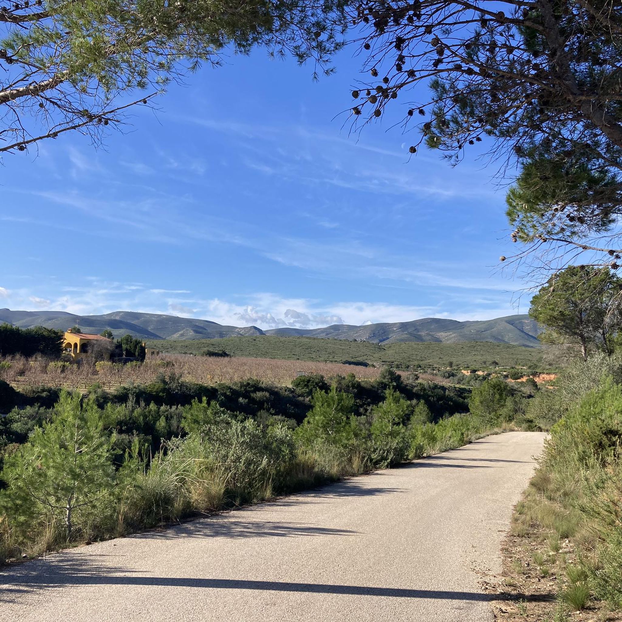
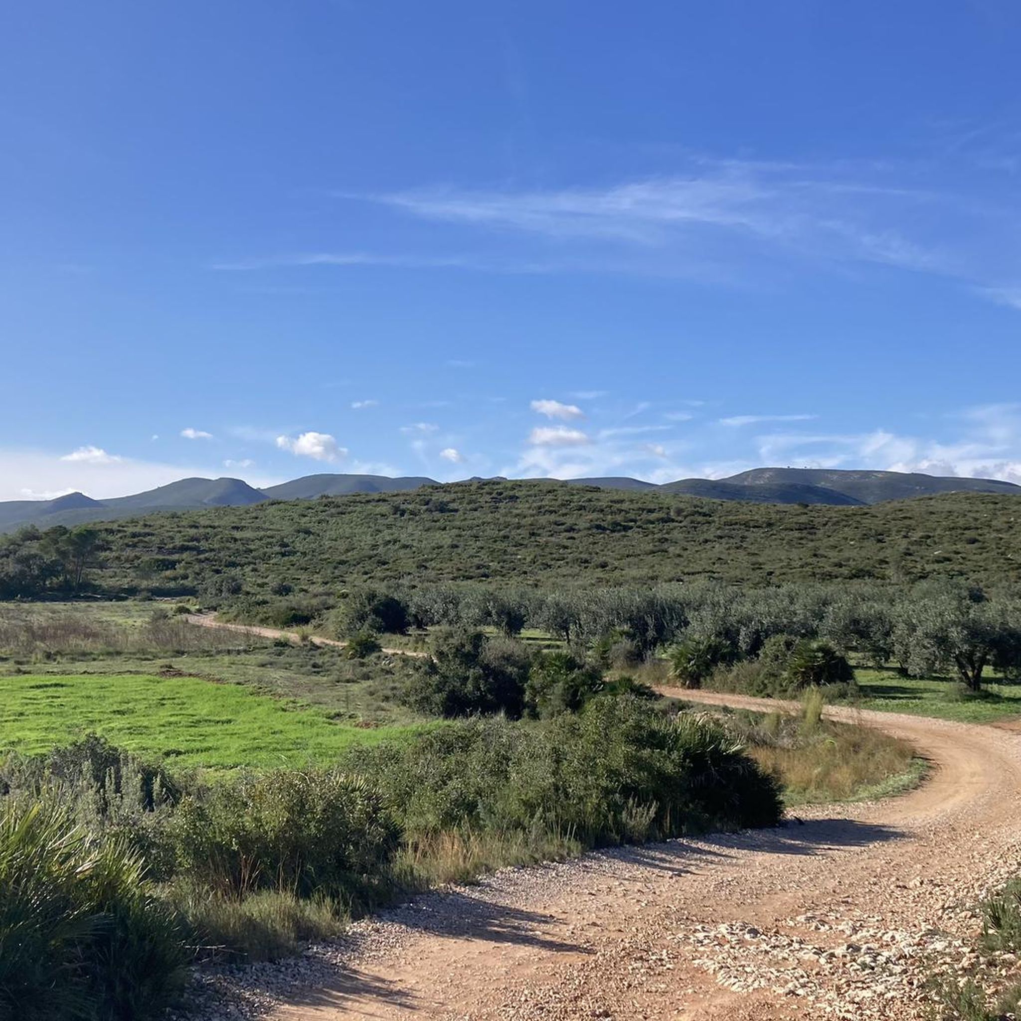
Hiking in Paraje Natural Municipal Matamón offers routes through distinctive mountainous landscapes and notable elevations within the Ribera Alta region of Valencia. The topography is characterized by the "Llomes del Matamón" ridges, featuring peaks like Alt del Trencall (506 meters) and Pla o Alt de Matamón (467 meters). The area includes several ravines, such as Barranc de la Font, and geological formations resulting from tectonic compression. Vegetation on the ridges is sparse, contributing to the majestic landscape.
Best hiking trails…
Last updated: July 8, 2026
5.0
(4)
12
hikers
Moderate hike. Good fitness required. Easily-accessible paths. Suitable for all skill levels.
4.3
(4)
34
hikers
6.31km
01:57
240m
240m
Easy hike. Great for any fitness level. Easily-accessible paths. Suitable for all skill levels.

Sign up for free
4.5
(2)
10
hikers
12.5km
03:33
260m
260m
Moderate hike. Good fitness required. Easily-accessible paths. Suitable for all skill levels.
3
hikers
7.54km
02:00
70m
70m
Easy hike. Great for any fitness level. Easily-accessible paths. Suitable for all skill levels.
4.5
(2)
4
hikers
13.8km
04:03
370m
370m
Moderate hike. Good fitness required. Easily-accessible paths. Suitable for all skill levels.
Get access to more routes and recommendations from other explorers.
Sign up for free
Already have an account?
Our route recommendations are based on thousands of hikes, rides, and runs completed by other people on komoot.
Start today with a free account
Your next adventure awaits.
Login or Signup

Tips from the Community


Better to take the path from west to east to go down. The other way around we will find somewhat complicated sections at the beginning of the path, having to climb on foot. Once this section is over it is a lot of fun.
0
1
Frequently Asked Questions
What is the general difficulty level of hiking trails in Paraje Natural Municipal Matamón?
Paraje Natural Municipal Matamón offers a range of hiking trails suitable for various fitness levels. You'll find 9 easy routes and 15 moderate routes, ensuring options for both casual walkers and those seeking a bit more challenge. There are no difficult routes listed, making it accessible for many.
Are there any easy or family-friendly hiking options available?
Yes, the natural park is known for offering easy and family-friendly options. For example, the Alt del Trencall – Cruz del Matamón loop from Pla de la Quirra is an easy 6.3 km path that explores the elevated terrain around Alt del Trencall. Another easy option is the Pla de la Perola Trail loop from Corral de Rafel, which is 7.5 km long.
What natural features or landmarks can I expect to see while hiking in Paraje Natural Municipal Matamón?
The area is rich in natural features. You can expect to see the prominent "Llomes del Matamón" ridges, including the highest points like Alt del Trencall (506 meters) and Pla o Alt de Matamón (467 meters). The Alt del Trencall is crowned by a large cross and the remains of the Santa Bárbara hermitage, offering panoramic views. The park also features several ravines, such as Barranc de la Font, and interesting geological formations like the Cova Foradada and Avenc de l'Infern (Cova de Primo).
Are there any circular hiking trails in the region?
Yes, Paraje Natural Municipal Matamón features several circular routes. Popular options include the Cruz del Matamón – Alt del Trencall loop from Paratge Natural Municipal Matamon, a moderate 7.8 km trail, and the Pla de la Perola Trail loop from Corral de Rafel, an easy 7.5 km route. These loops allow you to experience the diverse landscapes without retracing your steps.
What do other hikers enjoy most about hiking in Paraje Natural Municipal Matamón?
The trails in Paraje Natural Municipal Matamón are highly rated by the komoot community, with an average score of 4.4 stars from over 20 reviews. Hikers often praise the distinctive mountainous landscapes, the notable elevations, and the panoramic views, especially from points like Alt del Trencall. The varied terrain and the connection with nature are frequently highlighted.
Is Paraje Natural Municipal Matamón suitable for dog-friendly hikes?
While specific regulations for dogs on trails can vary, the natural setting of Paraje Natural Municipal Matamón generally lends itself to dog-friendly outdoor activities. It's always recommended to keep dogs on a leash and ensure you clean up after them to preserve the natural environment for everyone.
What is the best time of year to visit Paraje Natural Municipal Matamón for hiking?
Given its Mediterranean climate, the best times to visit Paraje Natural Municipal Matamón for hiking are typically spring (March to May) and autumn (September to November). During these seasons, temperatures are milder, making for more comfortable hiking conditions. Summers can be very hot, and while winters are generally mild, checking local weather forecasts is always advisable.
Are there any long-distance trails or significant routes in the area?
Yes, a significant route in the area is the PR-CV 324, also known as the Senda de Matamón. This trail offers a route of approximately 12 kilometers (round trip) starting from the Tres Pinos Recreational Area in Catadau. Shorter versions, around 7 kilometers, can also be accessed from Carlet, near the Matamón urbanization.
Where can I find parking for hiking trails in Paraje Natural Municipal Matamón?
While specific parking areas are not detailed for every route, many trails, especially loop routes, often start from accessible points where parking might be available. For example, the PR-CV 324 starts from the Tres Pinos Recreational Area in Catadau, which is a common starting point for hikers and likely has parking facilities. It's advisable to check the starting points of individual routes for specific parking information.
What kind of vegetation and wildlife can I expect to see?
The 'Llomes del Matamón' ridges are characterized by largely sparse vegetation due to tectonic compression. However, the broader Valencian region, which Matamón is part of, is known for its Mediterranean vegetation and diverse ecosystems. While specific wildlife sightings are not guaranteed, hikers can expect to connect with nature and potentially observe local flora and fauna typical of the Mediterranean environment.
Are there any amenities like cafes or pubs near the hiking trails?
The region is a natural park, so amenities like cafes or pubs might not be directly on the trails. However, the park is located in the Ribera Alta region of Valencia, with towns like Catadau and Carlet nearby. These towns would offer various amenities, including places to eat and drink, before or after your hike. It's recommended to carry sufficient water and snacks for your hike.
Most popular routes in Paraje Natural Municipal Matamón

Get inspired with the komoot mobile app


Explore more
Browse the best Hikes in other regions.
