Zona De Interés Regional Embalse De Orellana Y Sierra De Pela
Zona De Interés Regional Embalse De Orellana Y Sierra De Pela
The best MTB trails in Zona De Interés Regional Embalse De Orellana Y Sierra De Pela
5.0
(1)
61
riders
19
rides
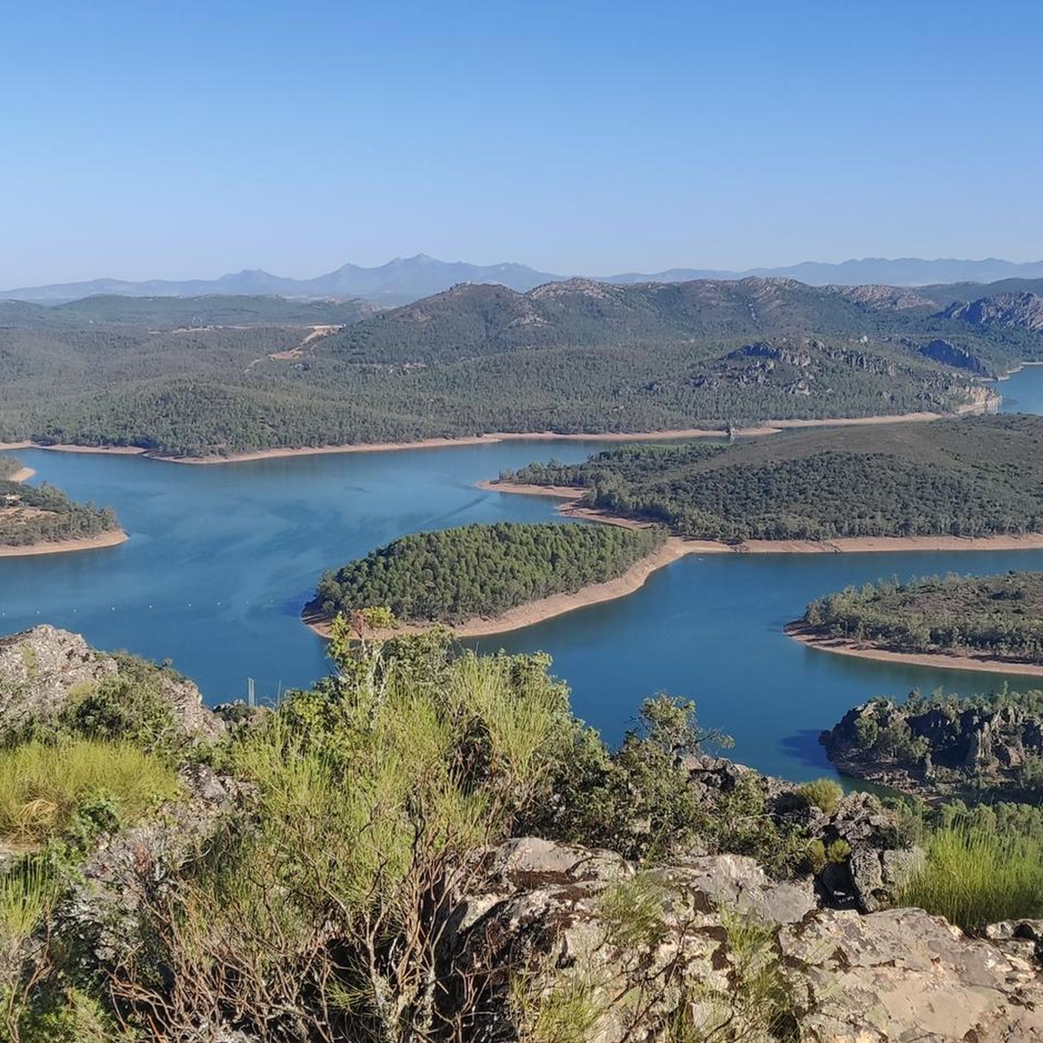
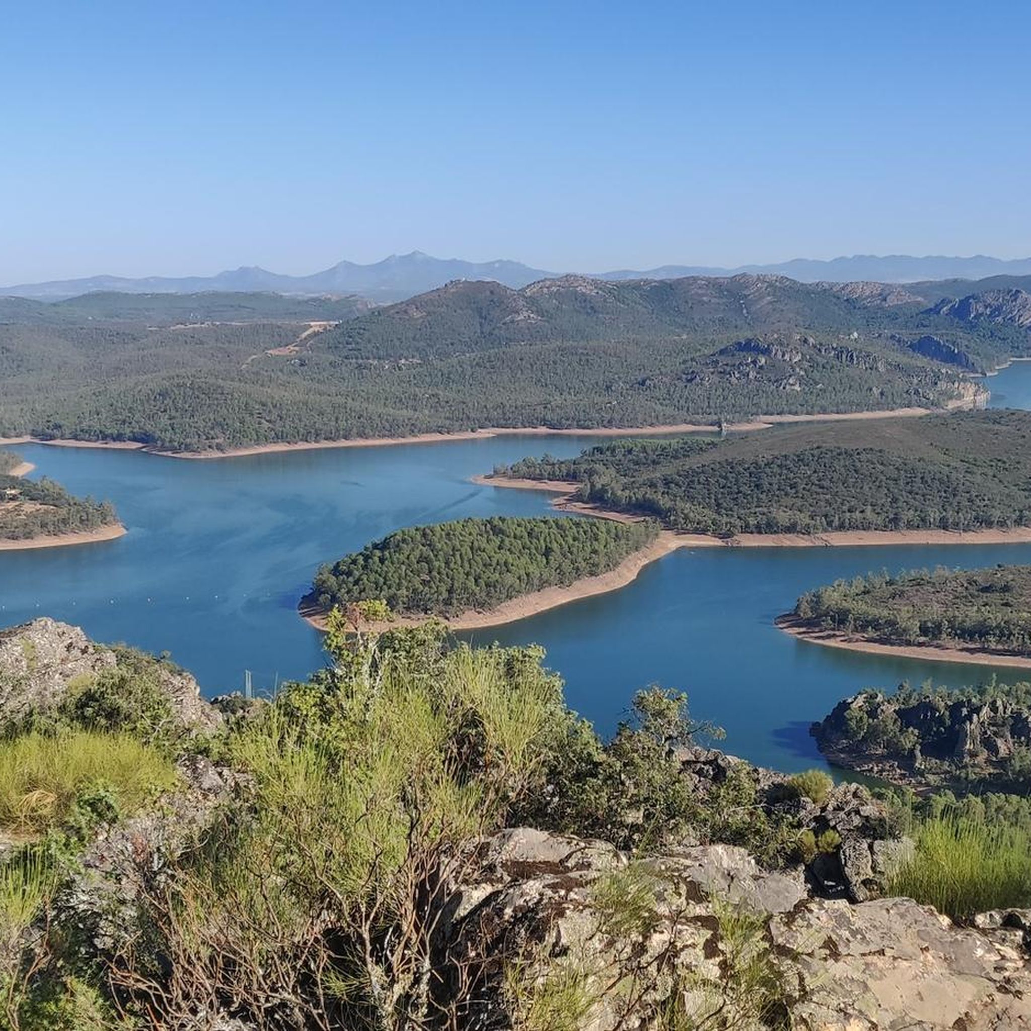
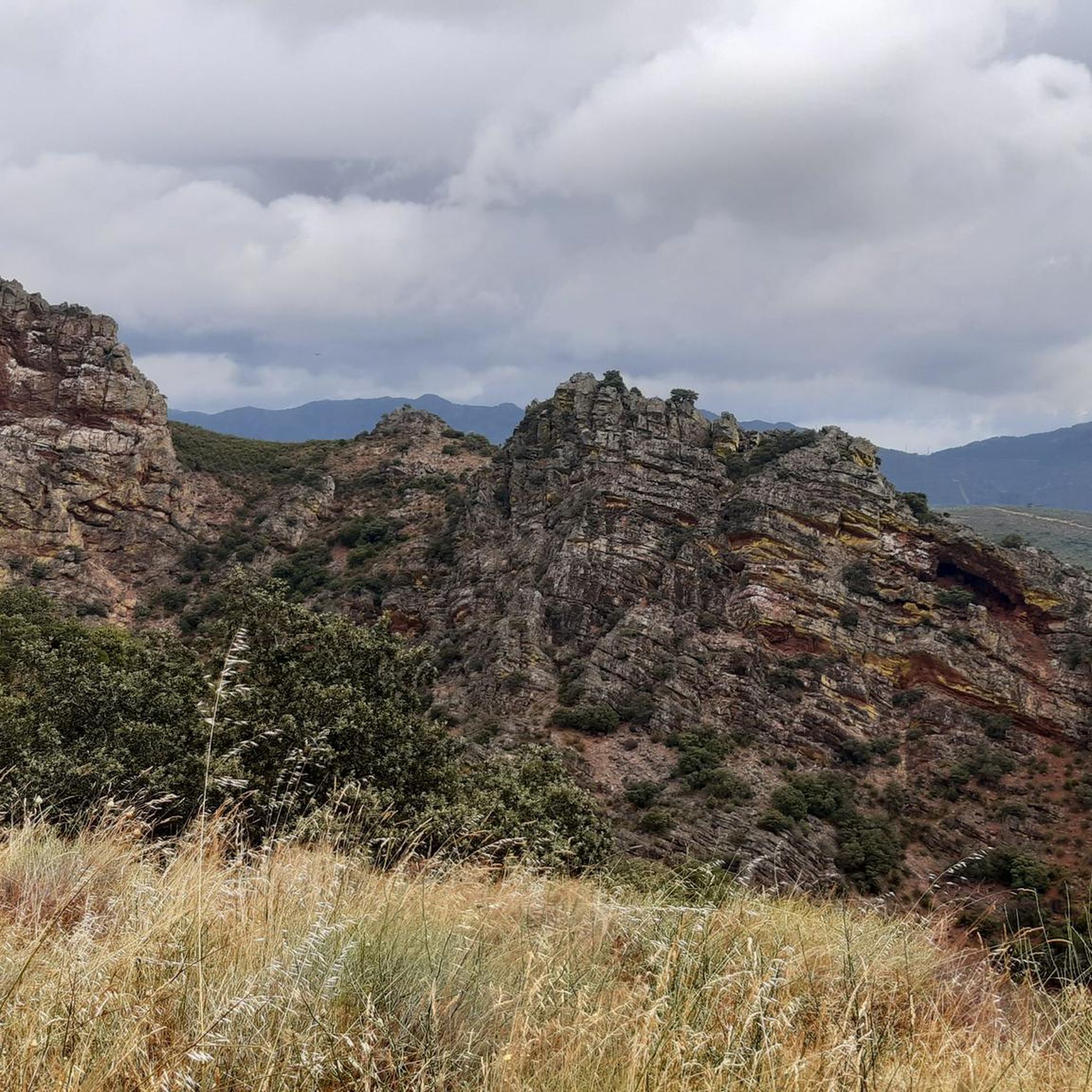
Mountain bike trails in Zona De Interés Regional Embalse De Orellana Y Sierra De Pela traverse a diverse landscape in the northeast of Badajoz province. The region is characterized by the expansive Orellana Reservoir, which is the largest in the middle section of the Guadiana River, and the Sierra de Pela, a "mountain-island" with quartzite ridges and Mediterranean vegetation. Cyclists will encounter varied terrain, including dehesas with holm oaks, riverbanks, and plains, offering a dynamic environment for mountain biking. This area is recognized for its significant natural features and is part of the Extremadura MTB Centers network.
Best mountain bike trails in Zona De Interés Regional Embalse De Orellana Y Sierra De Pela
- The most popular mountain bike trail is Puebla de Alcocer to Cerro Masatrigo and Embalse de la Serena Loop, a 31.1 miles (50.0 km) trail that takes 4 hours 15 minutes to complete. This difficult route features significant elevation gain and diverse landscapes around the reservoirs.
- Another top favourite among local mountain bikers is Desde Orellana de la Vieja a Orellana de la Sierra — circular por el Embalse de Orellana, an easy 13.1 miles (21.1 km) path. This circular route offers scenic views around the Orellana Reservoir.
- Local mountain bikers also love the Embalse de García Sola y Casas de Don Pedro — circular en BTT por Puebla de Alcocer, a 21.0 miles (33.8 km) trail leading through varied terrain near Puebla de Alcocer, often completed in about 2 hours 18 minutes.
- Mountain biking in Zona De Interés Regional Embalse De Orellana Y Sierra De Pela is defined by the vast Orellana Reservoir, the Sierra de Pela, and extensive dehesas. The network offers options for different ability levels, from easy lakeside paths to more challenging routes with significant climbs.
- The routes in Zona De Interés Regional Embalse De Orellana Y Sierra De Pela are highly rated by the komoot community with an average score of 5.0 stars from 1 review. More than 50 mountain bikers have used komoot to explore Zona De Interés Regional Embalse De Orellana Y Sierra De Pela's varied terrain.
Last updated: September 3, 2026
1
riders
50.0km
04:15
960m
960m
Hard mountain bike ride. Very good fitness required. Advanced riding skills necessary. Some portions of the route may require you to push your bike.
Easy mountain bike ride. Great for any fitness level. Suitable for all skill levels.

Sign up for free
1
riders
Moderate mountain bike ride. Good fitness required. Suitable for all skill levels.
20
riders
50.7km
04:50
980m
980m
Hard mountain bike ride. Very good fitness required. Suitable for all skill levels.
3
riders
40.4km
02:53
390m
390m
Moderate mountain bike ride. Good fitness required. Suitable for all skill levels.
Get access to more routes and recommendations from other explorers.
Sign up for free
Already have an account?
Our route recommendations are based on thousands of hikes, rides, and runs completed by other people on komoot.
Start today with a free account
Your next adventure awaits.
Login or Signup
Popular around Zona De Interés Regional Embalse De Orellana Y Sierra De Pela
Hiking in Zona De Interés Regional Embalse De Orellana Y Sierra De Pela
Cycling in Zona De Interés Regional Embalse De Orellana Y Sierra De Pela
Road Cycling Routes in Zona De Interés Regional Embalse De Orellana Y Sierra De Pela

Running Trails in Zona De Interés Regional Embalse De Orellana Y Sierra De Pela
Tips from the Community

The best views in the La Siberia Extremeña region
0
0

The castle sits atop a hill in Puebla de Alcocer (Badajoz, Extremadura), approximately 550 meters above sea level. Its origins date back to the 12th and 13th centuries, possibly built upon the site of an earlier Mudéjar fortress. It was remodeled in 1445 after being donated to Don Gutierre de Sotomayor, Master of the Order of Alcántara, by King John II of Castile. At the end of the 15th century, it passed to Doña Elvira de Zúñiga, as reflected in the coat of arms on the keep.
2
0
Casas de Don Pedro is a municipality located in the La Siberia Extremeña region, in the northeast of the province of Badajoz, on the banks of the Guadiana River and near the Orellana reservoir. What to see Church of San Pedro Apóstol: Gothic (14th century), with a Mudejar tower and a single nave. Plaza Mayor and Town Hall: Porticoed, historic center of the town. Plaza del Sagrado Corazón: Religious area. Sculpture "Aid to the Fallen" by Juan de Ávalos. Among many other interesting sites.
12
0
Municipality in the province of Badajoz, gateway to the La Siberia region. Located next to the Guadiana River and near the Orellana Reservoir, in the Sierra de Pela, a SPA (bird protection zone).
14
0
Casas de Don Pedro is a charming town located in the La Siberia region, northeast of Badajoz province, Extremadura. Surrounded by nature and bathed by the Orellana Reservoir, it is an ideal destination for those seeking tranquility, history, and outdoor activities.
11
0
Cerro Masatrigo is a hill located in the municipality of Esparragosa de Lares. This hill is known for its almost perfect conical shape, which has earned it the nickname "the magic mountain." It rises 501 meters above sea level and 161 meters above the surrounding terrain. After the construction of the La Serena Dam, Cerro Masatrigo became a peninsula surrounded by the waters of the reservoir.
1
0
Cerro Masatrigo is a hill located in the municipality of Esparragosa de Lares. This hill is known for its almost perfect conical shape, which has earned it the nickname "the magic mountain" It rises 501 meters above sea level and 161 meters above the surrounding terrain. After the construction of the La Serena Dam, Cerro Masatrigo became a peninsula surrounded by the waters of the reservoir.
7
0

The church "San Pedro Apostol" was dedicated to Saint Peter (Peter). Simon, nicknamed Peter (Rock), was a fisherman on the Sea of Galilee when he - together with his brother Andrew - was called by Jesus Christ to be "fishers of men". According to Catholic understanding, he is the supreme apostle, and the two millennia-long line of popes - currently Francis - are his successors. In statues and paintings, Peter is almost always depicted with two keys in his hand; this attribute refers to the biblical saying in Matthew: “I will give you the keys of the kingdom of heaven; Whatever you bind on earth will be bound in heaven, and whatever you loose on earth will be loosed in heaven” (Chapter 16, verse 19). Peter and Paul are also known as the “Princes of the Apostles”; their common feast day in the saints’ calendar is June 29th.
3
0
Frequently Asked Questions
How many mountain bike trails are available in Zona De Interés Regional Embalse De Orellana Y Sierra De Pela?
There are 18 mountain bike trails in Zona De Interés Regional Embalse De Orellana Y Sierra De Pela, offering a variety of experiences for different skill levels.
What kind of terrain can I expect on mountain bike trails in this region?
The region offers diverse terrain, including paths through dehesas with holm oaks, along riverbanks, and across plains. You'll also encounter quartzite ridges in the Sierra de Pela and routes around the expansive Orellana Reservoir, providing a dynamic and engaging environment for mountain biking.
Are there mountain bike trails suitable for beginners or families?
Yes, the region offers trails suitable for various ability levels. For an easier ride with scenic views, consider the Desde Orellana de la Vieja a Orellana de la Sierra — circular por el Embalse de Orellana, an easy 13.1-mile (21.1 km) circular route around the Orellana Reservoir.
What are some notable natural features or landmarks I might see while mountain biking?
You'll encounter significant natural features like the vast Orellana Reservoir, known for its Blue Flag inland beach, and the Sierra de Pela with its quartzite ridges. Points of interest include the Garcia de Sola Reservoir, the Canal de las Dehesas – Guadiana Natural Trail, and the Playa de Orellana. The area is also a Special Protection Area for Birds (ZEPA), so keep an eye out for diverse bird species.
What is the best time of year to go mountain biking in Zona De Interés Regional Embalse De Orellana Y Sierra De Pela?
The region experiences a Mediterranean climate. Spring and autumn generally offer the most pleasant temperatures for mountain biking, avoiding the intense heat of summer and the cooler, potentially wetter conditions of winter. Winter is notable for attracting thousands of aquatic birds and cranes to the reservoir.
Are there any challenging mountain bike routes for experienced riders?
Yes, there are challenging options. For experienced riders, the Puebla de Alcocer to Cerro Masatrigo and Embalse de la Serena Loop is a difficult 31.1-mile (50.0 km) trail with significant elevation gain and diverse landscapes around the reservoirs.
What do other mountain bikers say about the trails in this region?
The routes in Zona De Interés Regional Embalse De Orellana Y Sierra De Pela are highly rated by the komoot community, with an average score of 5.0 stars. Mountain bikers often praise the varied terrain, the stunning views of the Orellana Reservoir, and the well-integrated network of trails within the Extremadura MTB Centers.
Are there any circular mountain bike routes available?
Yes, many routes are circular. An example is the Desde Orellana de la Vieja a Orellana de la Sierra — circular por el Embalse de Orellana, an easy 13.1-mile (21.1 km) loop offering scenic views around the Orellana Reservoir.
What is the elevation gain like on the mountain bike trails?
Elevation gain varies significantly by trail. Easier routes, like the circular path around Orellana Reservoir, have moderate climbs (around 240 meters). More difficult trails, such as the Playa de Orellana – Orellana de la Sierra loop from Orellana la Vieja, can feature over 1000 meters of elevation gain, providing a substantial challenge.
Are there any specific regulations or permits required for mountain biking in this protected area?
Zona de Interés Regional Embalse de Orellana y Sierra de Pela holds multiple protection designations, including a Special Protection Area for Birds (ZEPA) and a Site of Community Importance (SCI). While specific permits for mountain biking are not generally required for established trails, it's always advisable to stay on marked paths to protect the sensitive ecosystems and wildlife. Respect local signage and regulations.
Where can I find parking near the mountain bike trails?
Many towns within the region, such as Orellana la Vieja, Puebla de Alcocer, and Casas de Don Pedro, serve as excellent starting points for trails and typically offer parking facilities. Given the area's focus on outdoor tourism, designated parking for trail access is often available near popular trailheads.
Are there any towns or villages nearby where I can find amenities like cafes or accommodation?
Yes, towns like Orellana la Vieja, Orellana de la Sierra, Navalvillar de Pela, and Puebla de Alcocer are located within or near the region. These towns offer amenities such as cafes, restaurants, and accommodation options, making them convenient bases for your mountain biking adventures.
Most popular routes in Zona De Interés Regional Embalse De Orellana Y Sierra De Pela
Most popular attractions in Zona De Interés Regional Embalse De Orellana Y Sierra De Pela

Get inspired with the komoot mobile app


Explore more
Browse the best MTB trails in other regions.
