The best running trails in Microrreserva Ardal Y Tinjarra
4.0
(1)
54
runners
7
runs
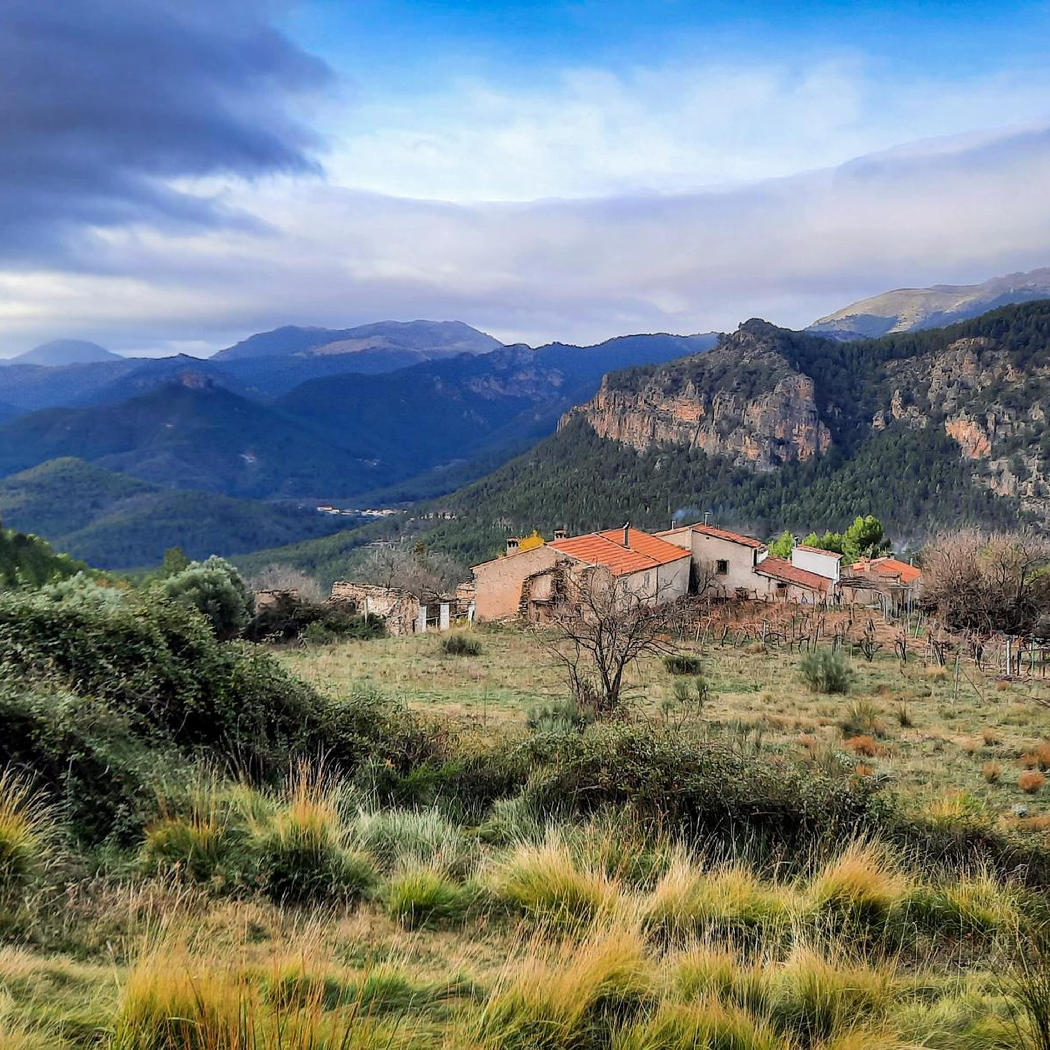
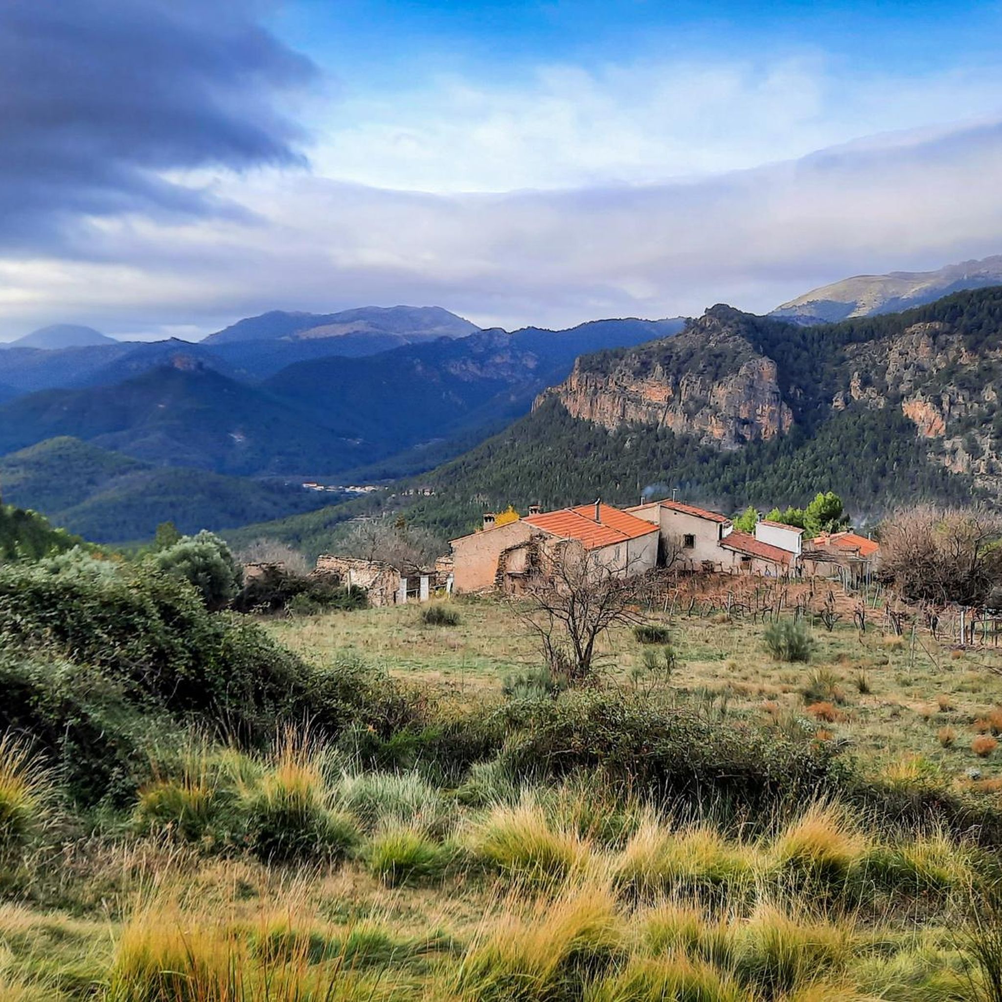
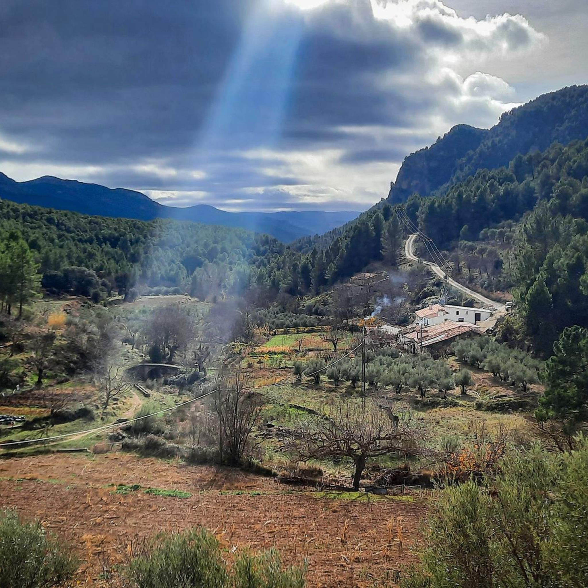
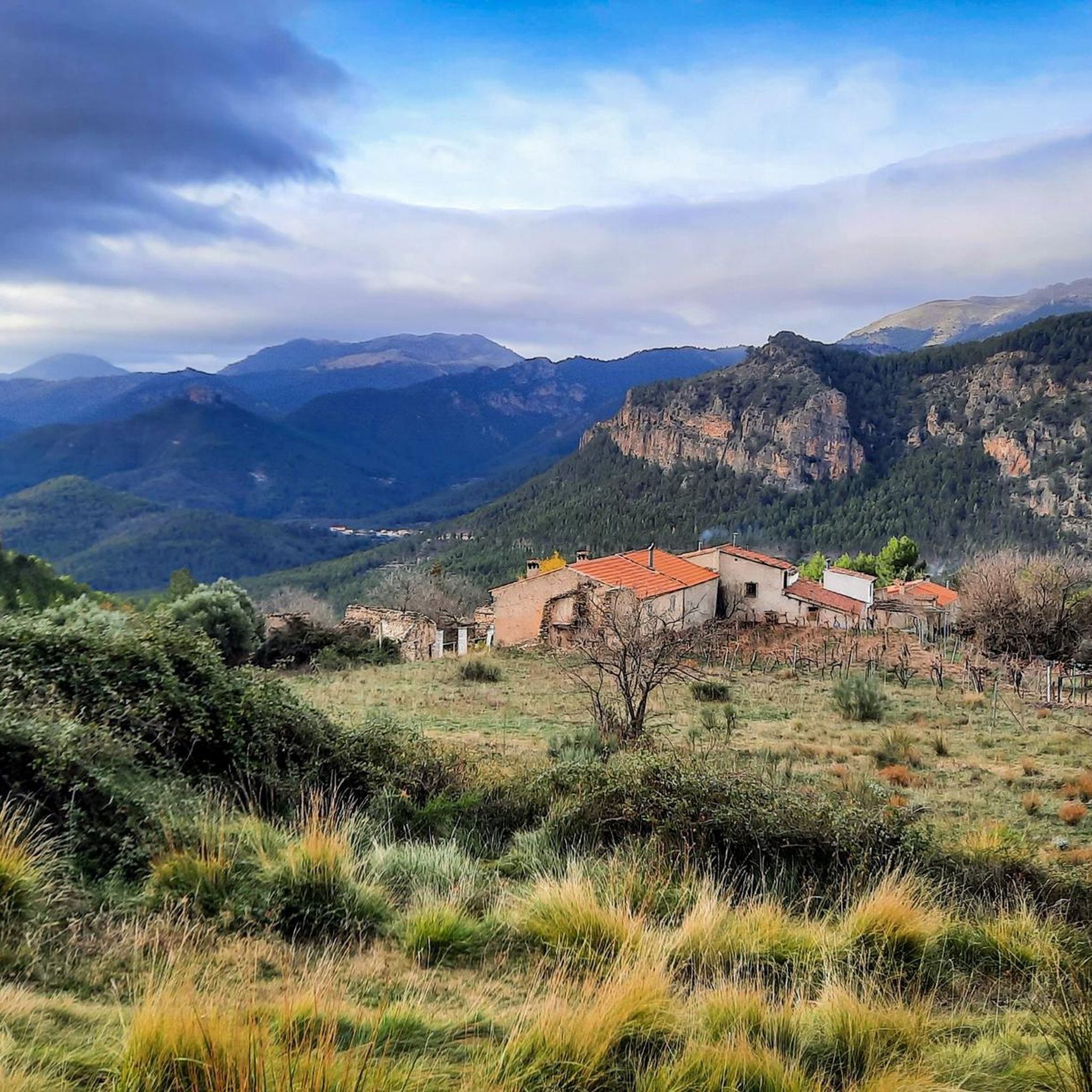
Jogging routes in Microrreserva Ardal Y Tinjarra traverse a varied landscape characterized by the Monte Ardal mountain, river valleys, and extensive pine forests. The region features significant elevation changes, with limestone escarpments and diverse vegetation. Running trails here offer views over the Segura River valley and surrounding mountain ranges, providing a challenging yet rewarding experience.
Best jogging routes in Microrreserva Ardal Y Tinjarra
- The most popular jogging route is Ardal – Collado de Bochorna loop from Yeste, a 16.9…
Last updated: July 10, 2026
26
runners
27.3km
03:56
1,110m
1,100m
Hard run. Very good fitness required. Mostly paved surfaces. Suitable for all skill levels.
7
runners
32.3km
04:38
1,350m
1,340m
Hard run. Very good fitness required. Mostly paved surfaces. Suitable for all skill levels.

Sign up for free
5
runners
14.9km
02:32
960m
960m
Hard run. Very good fitness required. Mostly paved surfaces. Suitable for all skill levels.
10
runners
7.44km
00:55
180m
180m
Moderate run. Good fitness required. Mostly paved surfaces. Suitable for all skill levels.
7
runners
Hard run. Very good fitness required. Mostly paved surfaces. Suitable for all skill levels.
Get access to more routes and recommendations from other explorers.
Sign up for free
Already have an account?
Our route recommendations are based on thousands of hikes, rides, and runs completed by other people on komoot.
Start today with a free account
Your next adventure awaits.
Login or Signup
Popular around Microrreserva Ardal Y Tinjarra
Tips from the Community

El Rincón Cabero is a charming rural farmhouse located in Yeste, in the province of Albacete, Castilla-La Mancha. This old shepherd's farmhouse has been restored and has more than three centuries of history. Located at the foot of Calar de la Sima and Mentiras, its highest peak, it is ideal for mountain and nature lovers. The house offers a sustainable environment, surrounded by forests, springs and sunlight from which it is supplied.
4
0
Pico Mentiras is one of the highest peaks in the Sierra de Segura, reaching an altitude of 1,896 metres. It is located in Calar de la Sima, within the Calares del Mundo y de la Sima Natural Park. The most common route to climb Pico Mentiras starts from the village of Arguellite.
6
0
La Peña Palomera is an impressive peak located in the Sierra de Segura, near Yeste. It is located in the Calar de la Sima, a mountain formation that extends between the provinces of Albacete and Jaén. One of the most popular routes starts from the village of Arguellite and offers a circular route of approximately 21.9 km with a gradient of 1,040 metres.
5
0

The castle and the church are the centre of the landscape of Yeste. Even if it is only from the outside, it is worth taking a look.
1
0

Getting there is like immersing yourself in another world... trees, smells, colors... the Holm Oak is a discordant element in nature that has developed in the area, after having found ideal development conditions. It is a tree that deserves to stop and contemplate it!
1
1
After crossing the bridge in the direction of Moheda, there is an intense climb to do on the bike, having to dose the effort due to the great accumulated unevenness. The views from the top are worth it.
3
0

La Moheda bridge over the Tús river. It is a river that depends mainly on the rains, so it is possible that in summer it carries little water.
3
0
It is a castle of Andalusian origin, the most important fortress in the Sierra del Segura of the Arabs. The entrance costs €3, it can be visited from Monday to Sunday, from 10:30 a.m. to 2:00 p.m. and from 5:00 p.m. to 7:30 p.m.
0
1
Frequently Asked Questions
How many running routes are available in Microrreserva Ardal Y Tinjarra?
There are 10 dedicated running routes documented in Microrreserva Ardal Y Tinjarra on komoot, offering a variety of experiences for trail runners.
What kind of terrain can I expect on the running trails in Microrreserva Ardal Y Tinjarra?
The terrain is quite varied, characterized by the mountainous Monte Ardal, river valleys (Tus and Segura), and extensive pine forests. You'll encounter significant elevation changes, rocky escarpments, and diverse vegetation, providing a challenging yet rewarding experience.
Are there any easy or moderate running routes for beginners or those seeking a less strenuous run?
While most routes in Microrreserva Ardal Y Tinjarra are considered difficult due to the mountainous terrain, there is at least one moderate option. The Running loop from Baños de Tús is a moderate 7.48 km trail with less elevation gain, suitable for those looking for a more accessible run.
What are the best viewpoints or scenic spots along the running routes?
Many routes offer stunning panoramic views. Monte Ardal itself, reaching 1,435 meters, provides breathtaking vistas of almost the entire municipal area, including Calar del Mundo and the Sierra de Lagos. The Molejón de Paules area also features limestone platforms with beautiful views over the Segura River valley and surrounding mountain ranges.
Are there any circular running routes in Microrreserva Ardal Y Tinjarra?
Yes, many of the running routes are designed as loops, allowing you to start and finish in the same location. For example, the Running loop from Baños de Tús is a moderate circular option, and the Running loop from La Moheda offers a more challenging circular experience.
What historical or cultural points of interest can I see while running in the area?
The region combines natural beauty with historical significance. You might encounter the historic Yeste Castle, an important Andalusian-origin fortress, or the early 20th-century Puente de los Vizcaínos, a unique footbridge over the Segura River. The Ermita de San Bartolomé on Monte Ardal is also a local point of interest.
Is Microrreserva Ardal Y Tinjarra suitable for family-friendly running or walks with children?
Given the significant elevation changes and the prevalence of difficult routes, many of the longer running trails might be challenging for young children. However, shorter, less strenuous sections or the moderate Running loop from Baños de Tús could be suitable for active families looking for a shorter outing.
What do other runners say about the trails in Microrreserva Ardal Y Tinjarra?
The running routes in Microrreserva Ardal Y Tinjarra are highly rated by the komoot community, with an average score of 4.0 stars. Runners often praise the challenging mountainous terrain, the expansive views, and the diverse natural beauty of the pine forests and river valleys.
Are there specific considerations for running in Microrreserva Ardal Y Tinjarra during different seasons?
The diverse vegetation, including broadleaf trees, suggests vibrant autumnal and spring colors, making these seasons particularly scenic for running. Summers can be hot, so early morning or late afternoon runs are advisable. Winters might bring cooler temperatures, but the extensive pine forests offer a dynamic landscape year-round.
Where can I find parking near the running routes in Microrreserva Ardal Y Tinjarra?
While specific parking areas for each route are not detailed, the town of Yeste, located at the base of Monte Ardal, serves as a primary access point for many trails and likely offers parking facilities. Other smaller villages or starting points for specific loops may also have designated parking.
Are there any facilities or services near the running trails, such as cafes or restaurants?
The Microrreserva is located near the town of Yeste, which provides services such as cafes, restaurants, and accommodation. These amenities can be found in Yeste and potentially other nearby villages, offering places to refuel or relax after your run.
Most popular routes in Microrreserva Ardal Y Tinjarra

Get inspired with the komoot mobile app


Explore more
Browse the best Running Trails & Routes in other regions.
