The best walks and hikes in Sierra Elvira
4.4
(281)
2,716
hikers
112
hikes
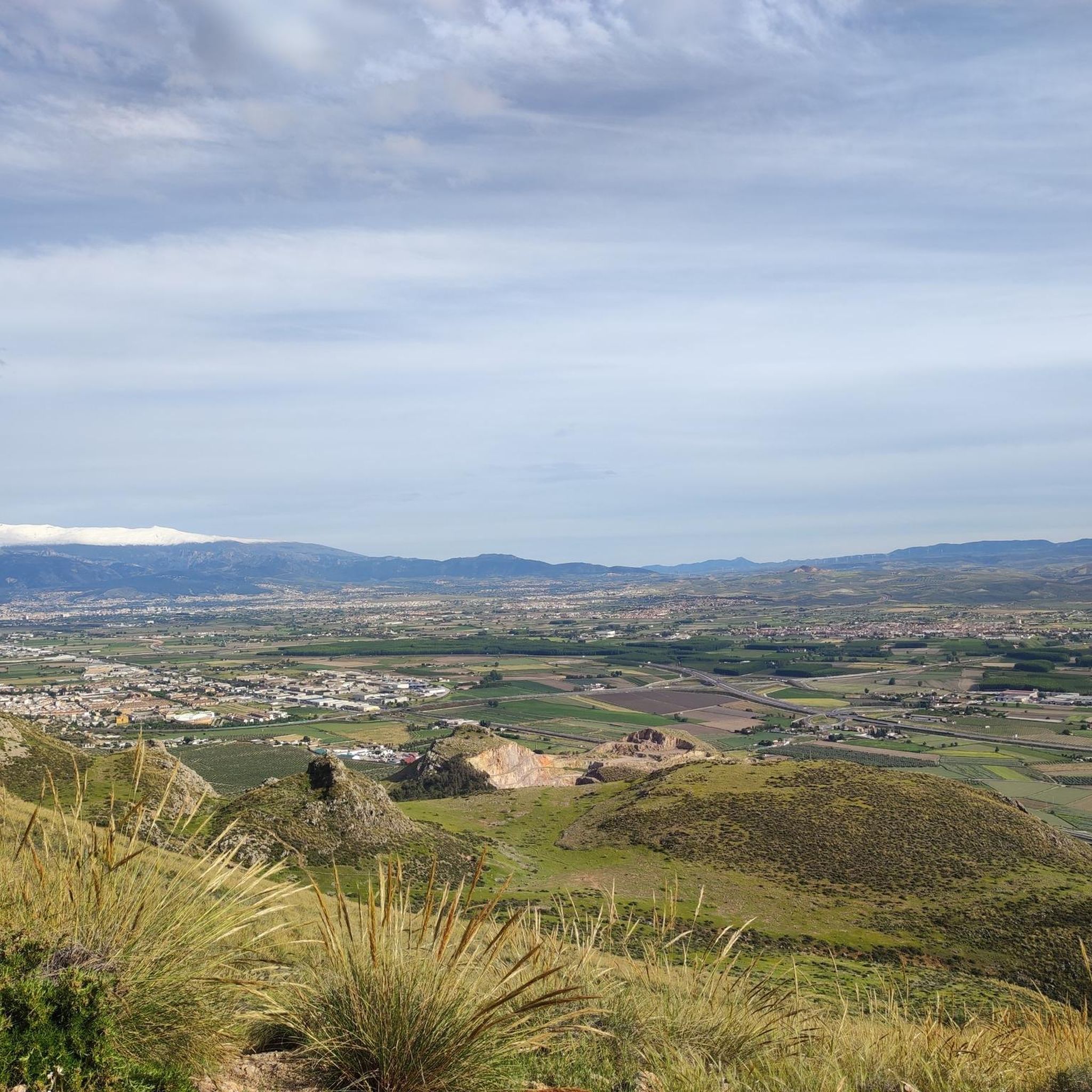
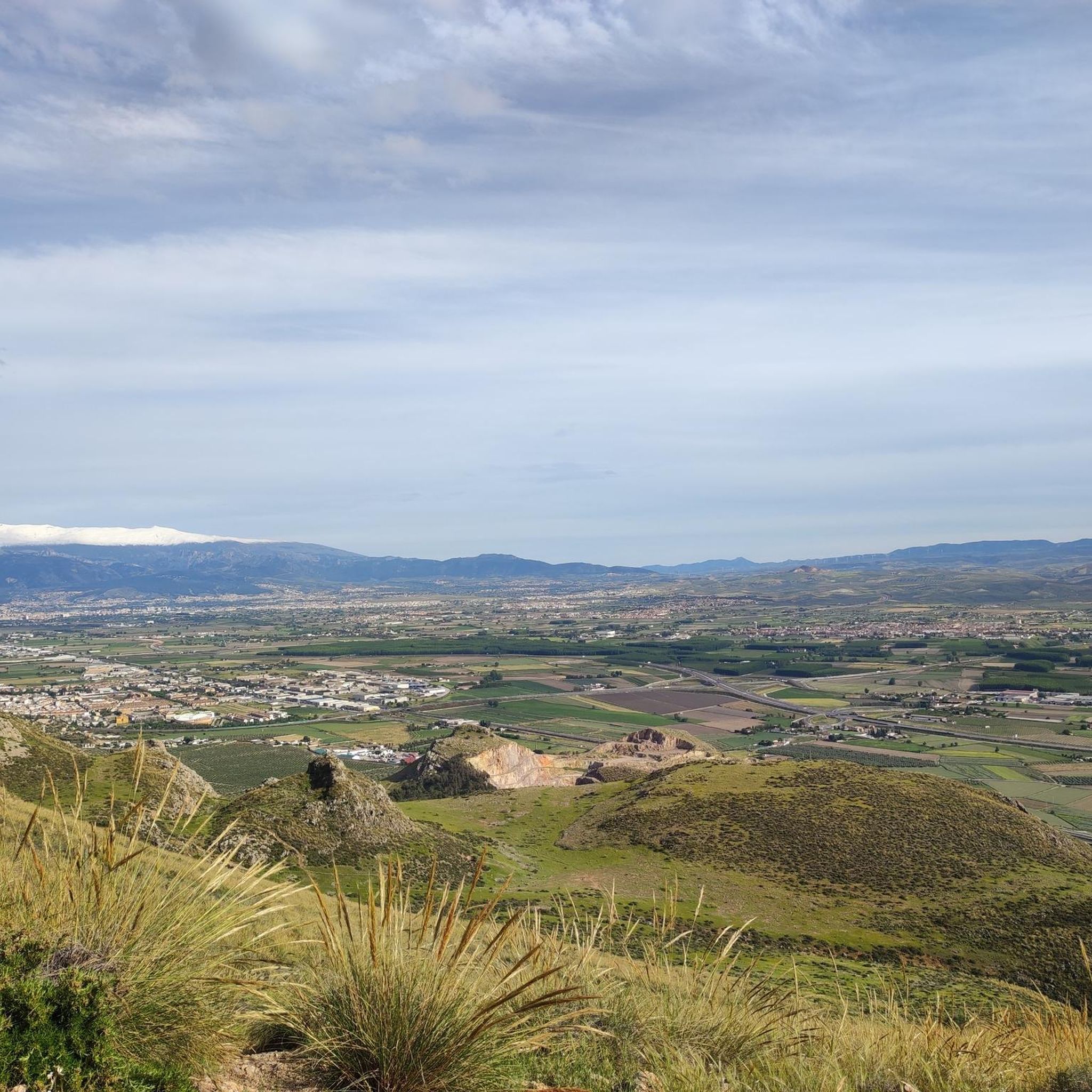
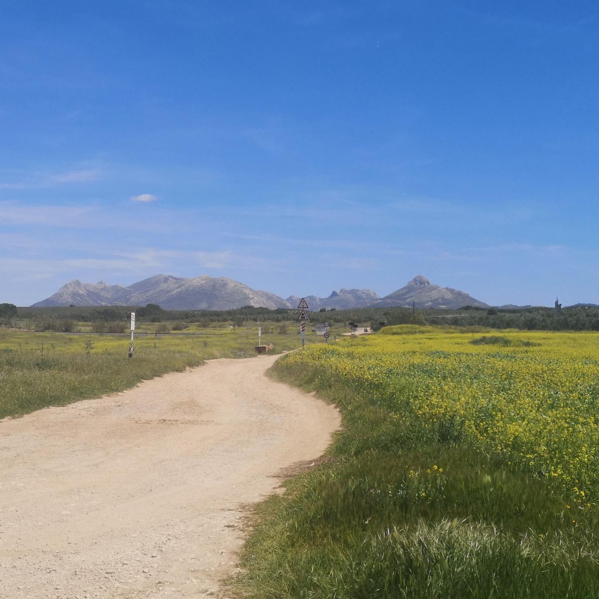
Hiking in Sierra Elvira, a mountainous massif in the region of La Vega, Granada, Spain, offers diverse landscapes and natural features. The area is characterized by varied topography, with rugged eastern sections and elevations reaching over 1,100 meters, providing panoramic views of Granada and the Vega plain. Hikers will find pine plantations from reforestation efforts alongside remnants of Mediterranean forest, including junipers and hawthorns. The terrain provides a range of experiences from gentle paths to more challenging ascents.
Best hiking trails in Sierra Elvira
- The most popular hiking route is Peaks of Sierra Elvira Trail (PR-A 445), a 6.4 miles (10.4 km) trail that takes 3 hours 50 minutes to complete, featuring significant elevation gain and expansive views.
- Another top favourite among local hikers is Ermita de los Tres Juanes Trail, a moderate 2.6 miles (4.1 km) path. This route leads to the historic Ermita de los Tres Juanes, offering notable viewpoints over the surrounding landscape.
- Local hikers also love the Sierra Elvira Integral Trail: Morrón de la Punta, de Enmedio, and El Piorno, a 4.5 miles (7.2 km) trail leading through multiple peaks, often completed in about 3 hours 26 minutes.
- Hiking in Sierra Elvira is defined by mountainous terrain, pine plantations, and panoramic viewpoints, including historical towers and hermitages. The network offers options for various ability levels, from easy walks to difficult ascents.
- The routes in Sierra Elvira are highly rated by the komoot community with an average score of 4.4 stars from over 300 reviews. More than 2,800 hikers have used komoot to explore Sierra Elvira's varied terrain.
Last updated: October 10, 2026
5.0
(2)
12
hikers
10.4km
03:50
430m
430m
Hard hike. Good fitness required. Sure-footedness, sturdy shoes and alpine experience required.
3.0
(1)
7
hikers
4.13km
01:23
190m
190m
Moderate hike. Great for any fitness level. Mostly accessible paths. Sure-footedness required.

3
hikers
Hard hike. Good fitness required. Sure-footedness, sturdy shoes and alpine experience required.
4.8
(5)
18
hikers
7.15km
02:03
150m
150m
Moderate hike. Good fitness required. Mostly accessible paths. Sure-footedness required.
5.0
(1)
8
hikers
9.58km
02:50
250m
250m
Moderate hike. Good fitness required. Mostly accessible paths. Sure-footedness required.
Get access to more routes and recommendations from other explorers.
Already have an account?
Our route recommendations are based on thousands of hikes, rides, and runs completed by other people on komoot.
Start today with a free account
Your next adventure awaits.
Tips from the Community

A special place inside my heart (RL🏴🖤)
0
0

Excellent views towards Granada and the Cubillas Reservoir
1
0
The cave is a little hidden, so it's easy to miss.
0
1
This recreational area has tables and barbecues. It slightly detracts from the power lines that are right above it.
1
0

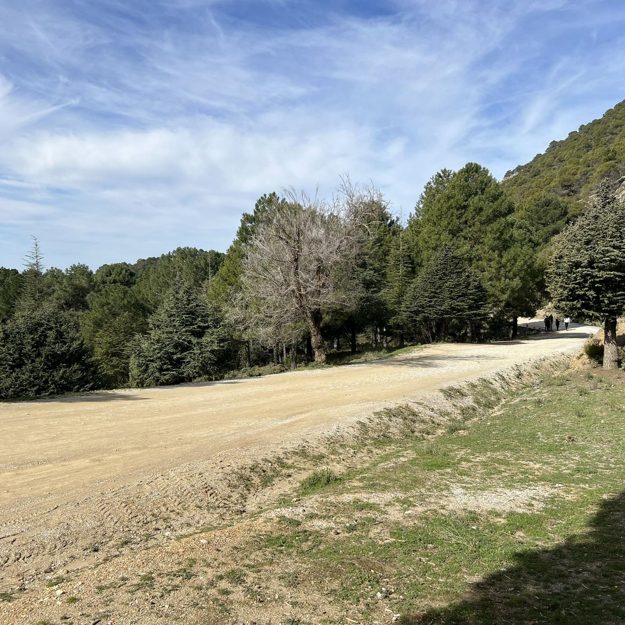
Los Pinos de la Moleona recreational area connects several trails through the Sierra Elvira. Here we can rest before continuing with this route or returning to Caparacena or Atarfe. It has multiple benches and picnic tables, also with ample parking, if you want to get here by car and start your adventure from this point.
2
0
An incredible viewpoint to enjoy wonderful views. It is a spectacular place, full of peace and recommended to spend a pleasant afternoon. Just below the viewpoint is a restaurant where the food is great.
1
0
The most important point of the SL-A 309 trail from Atarfe. The hermitage was built in 1941 and is located on the Castillejo hill, at the entrance to Sierra Elvira. Don't miss the viewpoint that is located right behind it.
1
1
Frequently Asked Questions
How many hiking trails are available in Sierra Elvira?
Sierra Elvira offers a wide variety of hiking experiences, with nearly 100 different trails recorded on komoot. These range from easy strolls to more challenging ascents, catering to all fitness levels.
Are there easy hiking trails suitable for beginners in Sierra Elvira?
Yes, Sierra Elvira has plenty of options for beginners and those looking for an easier walk. There are 34 easy trails available, offering gentle paths through the diverse landscape without significant elevation gain.
What is the best time of year to hike in Sierra Elvira?
The best time to hike in Sierra Elvira is typically during spring (March to May) and autumn (September to November). During these seasons, the weather is mild and pleasant, making for comfortable hiking conditions. Winter can also be beautiful, though some higher sections might be cooler. It's generally advisable to avoid the peak heat of summer.
Are dogs allowed on the hiking trails in Sierra Elvira?
While the region is a nature reserve, dogs are generally welcome on the hiking trails in Sierra Elvira. It's always recommended to keep your dog on a leash, especially in areas with wildlife or near other hikers, and to clean up after them to preserve the natural environment.
Are there any circular hiking routes in Sierra Elvira?
Yes, Sierra Elvira features several circular routes. For example, the Sierra Elvira Tower – Atalaya de Albolote loop from Atarfe is a popular option that allows you to start and end in the same location, exploring historical towers and scenic views.
What kind of terrain can I expect on the trails in Sierra Elvira?
The terrain in Sierra Elvira is quite varied. You'll encounter mountainous sections with rugged eastern parts, pine plantations from reforestation efforts, and remnants of Mediterranean forest. Paths can range from well-trodden dirt tracks to rocky ascents, offering a mix of surfaces for different hiking experiences.
What historical landmarks or viewpoints can I see along the trails?
Sierra Elvira is rich in historical landmarks and offers stunning viewpoints. You can visit the historic Sierra Elvira Tower on Atalaya peak, or the Albolote Tower. The Ermita de los Tres Juanes also provides an incredible viewpoint over the surrounding landscape. The peak of Morrón de Enmedio offers panoramic vistas towards Granada and the Cubillas Reservoir.
Is there public transport available to access the hiking trails?
Sierra Elvira is located about 9 kilometers northwest of Granada. While specific bus routes directly to trailheads might be limited, you can generally reach nearby towns like Atarfe or Albolote via public transport from Granada. From there, you might need to walk or arrange local transport to reach specific starting points for the trails.
Are there any permits required for hiking in Sierra Elvira?
No, generally, you do not need permits for hiking on the established trails in Sierra Elvira. It is a nature reserve and recreation area, open for public enjoyment. However, always respect local regulations and private property signs.
What wildlife and flora can I expect to see in Sierra Elvira?
Sierra Elvira boasts diverse flora and fauna. You might spot small mammals like foxes, badgers, squirrels, and wild boars. Birdwatchers can look for kestrels, bee-eaters, hoopoes, and partridges. The flora includes pine plantations, junipers, wild asparagus, hawthorns, and a notable variety of orchids. The area is also known for its significant butterfly population.
What do other hikers enjoy most about hiking in Sierra Elvira?
The komoot community highly rates the hiking experience in Sierra Elvira, with an average score of 4.4 stars from over 300 reviews. Hikers often praise the diverse landscapes, the panoramic views of Granada and the Vega plain, and the historical landmarks found along the routes. The variety of trails, from easy to difficult, is also frequently highlighted.
Where can I find parking for the hiking trails in Sierra Elvira?
Parking is generally available in the towns surrounding Sierra Elvira, such as Atarfe, Albolote, or Caparacena. Many trailheads, especially those starting from the edges of these towns, will have designated or informal parking areas. It's advisable to check specific route descriptions for parking recommendations.
Most popular routes in Sierra Elvira
Most popular attractions in Sierra Elvira

Get inspired with the komoot mobile app


Explore more
Browse the best Hikes in other regions.
