
The best running trails in Blue Mountain - Birch Cove Lakes Wilderness Area
4.5
(24)
1,202
runners
67
runs
Jogging in Blue Mountain - Birch Cove Lakes Wilderness Area offers diverse landscapes, including protected woodlands, expansive barrens, and pristine lakes. The region is characterized by exposed granite bedrock and varied topography, shaped by glacial activity. Joggers can explore a network of trails winding through mature Acadian forests and extensive wetland communities. Blue Mountain itself, a prominent granite outcrop, provides the highest point on the Chebucto Peninsula.
Best jogging routes in Blue Mountain - Birch Cove Lakes Wilderness Area
- The…
Last updated: July 15, 2026
14
runners
Hard run. Very good fitness required. Mostly paved surfaces. Suitable for all skill levels.
7
runners
4.39km
00:32
50m
50m
Moderate run. Great for any fitness level. Mostly accessible paths. Some sure footedness required.

Sign up for free
6
runners
7.38km
00:54
70m
70m
Moderate run. Good fitness required. Mostly accessible paths. Some sure footedness required.
4
runners
6.84km
00:50
70m
70m
Moderate run. Good fitness required. Mostly paved surfaces. Suitable for all skill levels.
3
runners
5.03km
00:37
60m
60m
Moderate run. Good fitness required. Mostly accessible paths. Some sure footedness required.
Get access to more routes and recommendations from other explorers.
Sign up for free
Already have an account?
Our route recommendations are based on thousands of hikes, rides, and runs completed by other people on komoot.
Start today with a free account
Your next adventure awaits.
Login or Signup
Popular around Blue Mountain - Birch Cove Lakes Wilderness Area
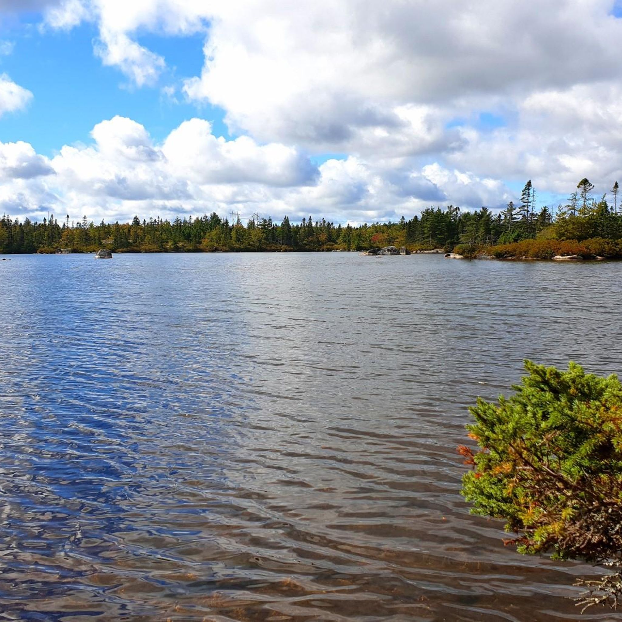
Cycling in Blue Mountain - Birch Cove Lakes Wilderness Area
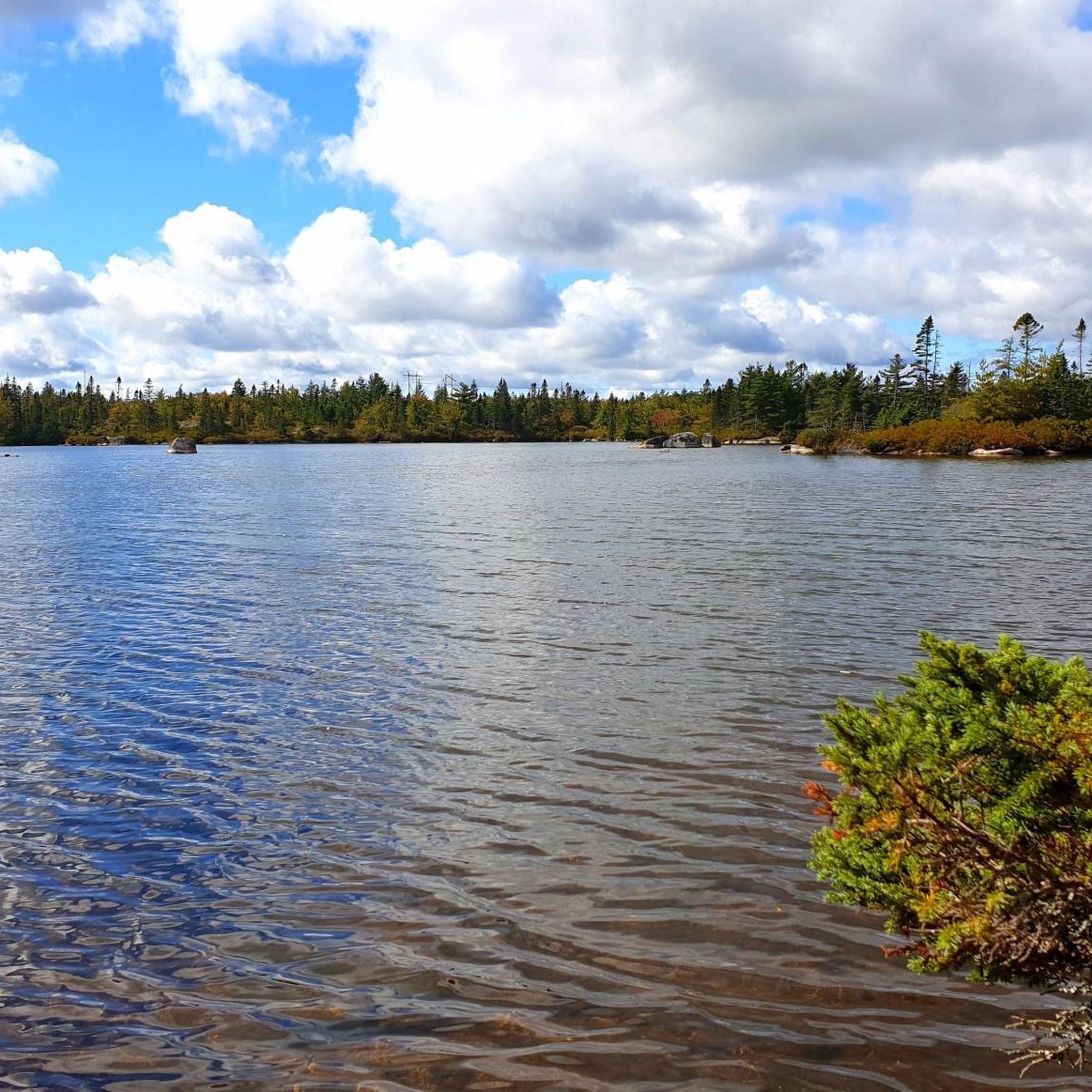
Hiking in Blue Mountain - Birch Cove Lakes Wilderness Area

Road Cycling Routes in Blue Mountain - Birch Cove Lakes Wilderness Area

MTB Trails in Blue Mountain - Birch Cove Lakes Wilderness Area
Gravel biking in Blue Mountain - Birch Cove Lakes Wilderness Area
Frequently Asked Questions
How many running routes are available in the Blue Mountain - Birch Cove Lakes Wilderness Area?
The Blue Mountain - Birch Cove Lakes Wilderness Area offers a wide selection of routes, with over 70 jogging trails available on komoot. These range from easy lakeside paths to more challenging backcountry explorations, catering to various fitness levels.
What kind of terrain can I expect on the running trails?
The terrain is quite varied, characterized by exposed granite bedrock, dense woodlands, and serene lakes. You'll find a mix of surfaces, from informal land-based trails to more rugged sections with rocky terrain and moderate, but steady hills. Some trails are described as difficult, while others offer easy walks.
Are there easy or beginner-friendly running routes?
Yes, there are routes suitable for beginners. While some trails are rugged, the area also features easy hikes and walks. For a moderate option, consider the Hobsons Lake loop from Bedford West, which is 2.7 miles (4.4 km) and offers a scenic run.
Can I bring my dog on the running trails?
The Blue Mountain - Birch Cove Lakes Wilderness Area is generally welcoming to outdoor activities, and many informal trails are suitable for dogs. However, it's always best to keep your dog on a leash and check for any specific local regulations or signage on individual trails to ensure a pleasant experience for everyone.
Are there any circular running routes in the area?
Yes, many of the routes in the wilderness area are circular, allowing you to start and end at the same point. A notable example is the Cranberry Lake – Lower Marsh Lake loop from Blue Mountain - Birch Cove Lakes Wilderness Area, a challenging 16.6 miles (26.7 km) route that circles multiple lakes.
What natural features or viewpoints can I see while jogging?
You'll encounter a rich tapestry of natural beauty, including protected woodlands, expansive barrens, pristine lakes, and interconnected watercourses. Blue Mountain itself is a prominent granite outcrop offering spectacular 360-degree views. The trails wind through mature Acadian forests and extensive wetland communities, providing a scenic backdrop for your run.
How long do the running trails typically take to complete?
Running times vary significantly based on the route's length and difficulty. For instance, the moderate Ash Lake loop from Bedford West, at 4.6 miles (7.4 km), typically takes about 54 minutes. Longer, more difficult routes like the Cranberry Lake – Lower Marsh Lake loop can take nearly 3 hours.
Where can I park when visiting the Blue Mountain - Birch Cove Lakes Wilderness Area for a run?
While specific designated parking areas for all informal trails might vary, the close proximity of the wilderness area to urban Halifax means there are often access points and informal parking spots near trailheads. For routes like the Hobsons Lake loop from Kearney Lake Park, you would typically find parking available near the park entrance.
Is public transport an option to reach the running trails?
Given its proximity to downtown Halifax and ongoing efforts to increase accessibility, public transport options may exist to reach certain entry points of the wilderness area. It's advisable to check local transit schedules and routes for the most current information on reaching specific trailheads.
What is the best time of year to go running in the Blue Mountain - Birch Cove Lakes Wilderness Area?
The diverse landscapes make it suitable for outdoor activities across seasons. Spring and fall offer pleasant temperatures and vibrant scenery. Summer is also popular, though some trails might be less shaded. Winter running is possible, but conditions can be challenging with snow and ice, requiring appropriate gear and caution.
Are there any less crowded running routes for a more peaceful experience?
While popular routes can see more traffic, the extensive network of both informal and unofficial trails means you can often find quieter paths. Exploring some of the less-known loops or trails further into the wilderness area, such as the Charlies Lake loop from Bedford West, might offer a more serene running experience.
What do other runners say about their experience in the Blue Mountain - Birch Cove Lakes Wilderness Area?
The area is highly rated by the komoot community, with an average score of 4.7 stars from over 20 reviews. Runners often praise the stunning network of serene lakes, scenic hiking trails, and quiet waterways, highlighting the diverse and rewarding experience amidst remarkable natural beauty.
Most popular routes in Blue Mountain - Birch Cove Lakes Wilderness Area

Get inspired with the komoot mobile app


Explore more
Browse the best Running Trails & Routes in other regions.
