The best road cycling routes in Greenbelt
4.8
(98)
5,265
riders
131
rides
Road cycling in Greenbelt, a natural park in Ontario, features a network of paved paths and quiet roads suitable for various skill levels. The region is characterized by expansive green spaces, riverfronts, and gentle rolling terrain, providing a mix of urban parkland and natural scenery. Road cyclists can expect routes that traverse open areas and follow waterways, with minimal significant elevation changes. This makes Greenbelt an accessible area for road cycling, particularly for those seeking routes without steep climbs.
Best…
Last updated: August 25, 2026
17
riders
32.6km
01:26
160m
160m
Moderate road ride. Great for any fitness level. Some segments of this route may be unpaved and difficult to ride.
5.0
(1)
36
riders
39.7km
01:35
150m
150m
Easy road ride. Great for any fitness level. Mostly well-paved surfaces and easy to ride.

Sign up for free
22
riders
21.9km
00:54
90m
90m
Easy road ride. Great for any fitness level. Mostly well-paved surfaces and easy to ride.
23
riders
126km
05:53
1,160m
1,160m
Hard road ride. Very good fitness required. Some segments of this route may be unpaved and difficult to ride.
5.0
(1)
39
riders
28.8km
01:10
110m
110m
Easy road ride. Great for any fitness level. Mostly well-paved surfaces and easy to ride.
Get access to more routes and recommendations from other explorers.
Sign up for free
Already have an account?
Our route recommendations are based on thousands of hikes, rides, and runs completed by other people on komoot.
Start today with a free account
Your next adventure awaits.
Login or Signup
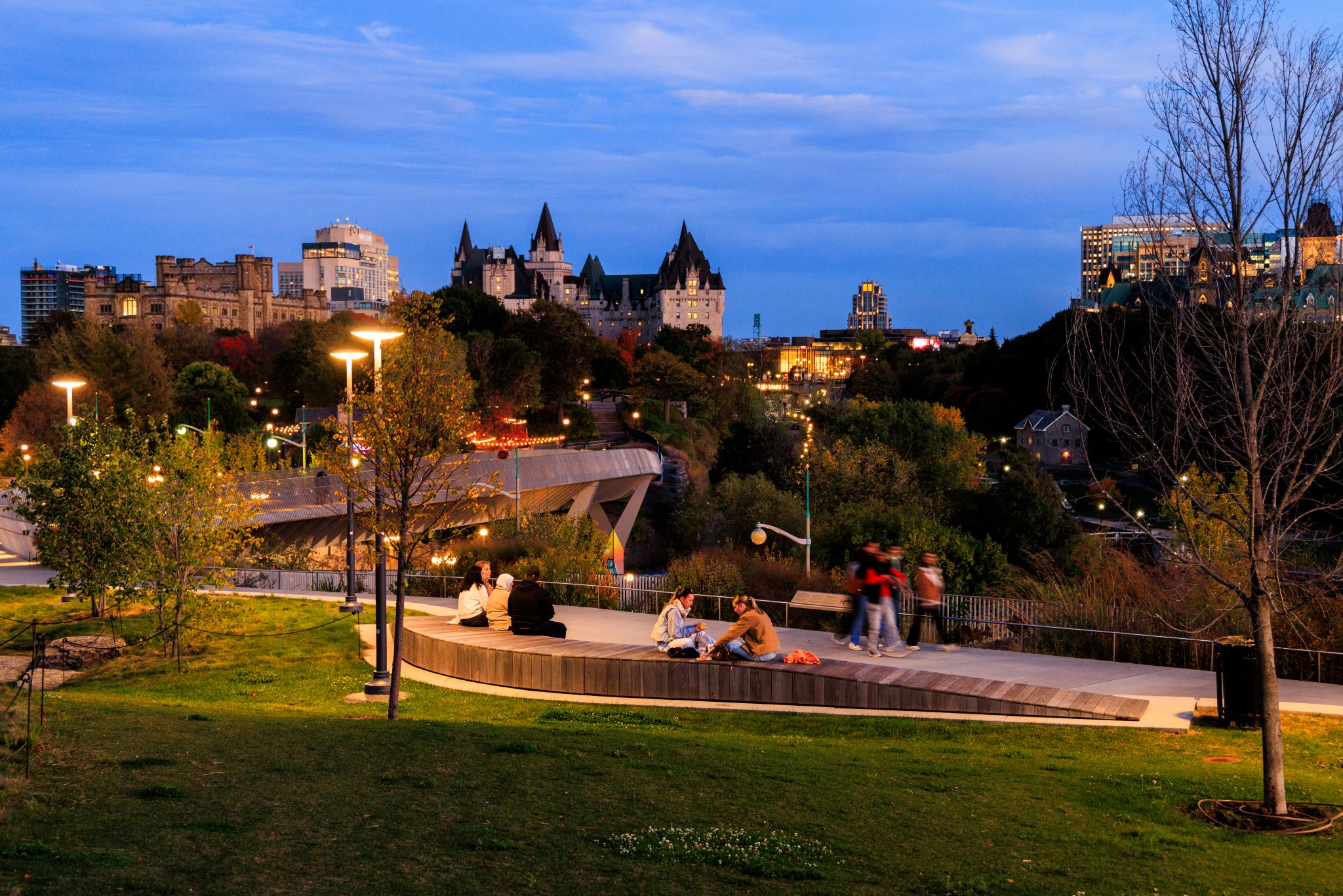
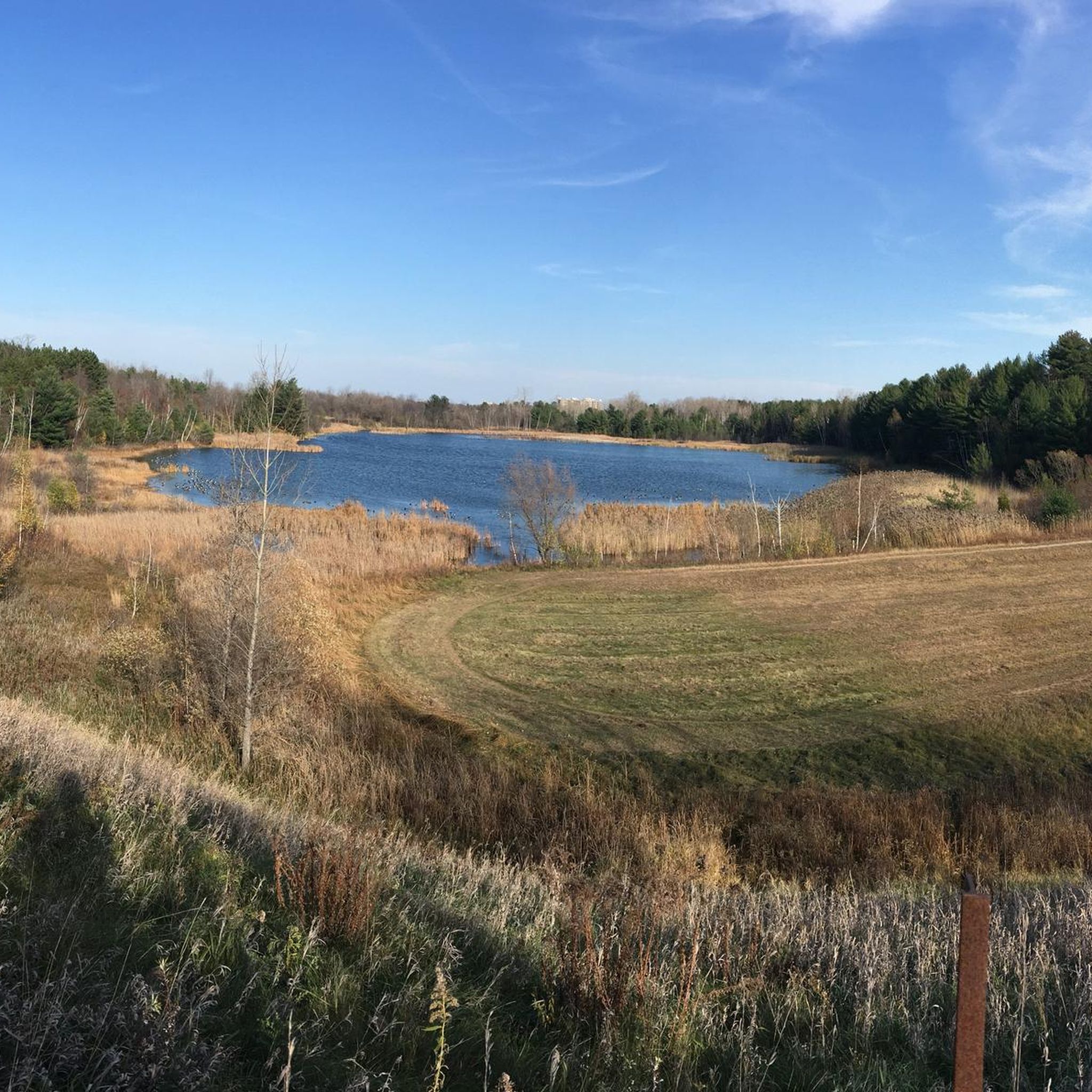
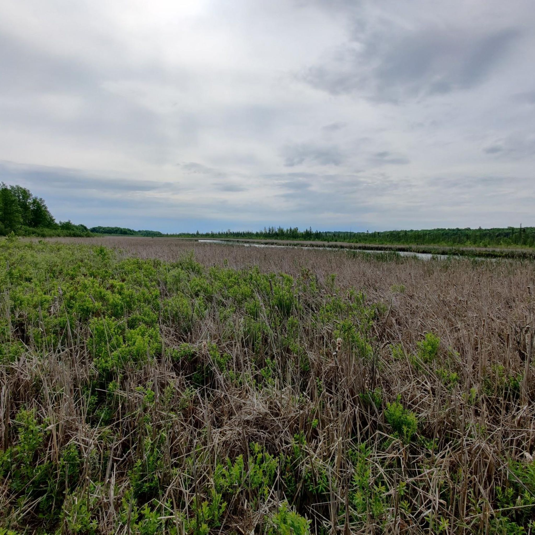
Other adventures in Greenbelt

Tips from the Community

Rockcliffe Airport is a small airfield nestled right along the river and is one of Canada’s oldest active airports. Originally established as a military air station in the early 20th century, it played an important role in Ottawa’s aviation history and sits next to the Canada Aviation and Space Museum. From the trail, you can look across the open airfield and may even spot small aircraft taking off, landing, or moving along the runway.
0
0
This riverside viewpoint is a great spot to stop along the Ottawa River Pathway, with benches and Adirondack chairs to take in the views across the water. The quiet setting makes it a peaceful stop along the route and an ideal place to take a break, enjoy the scenery, and watch for boats passing by.
0
0
Ottawa River Pathway follows the shoreline of the Ottawa River for roughly 40 kilometres, stretching across Ottawa through parks, waterfront green spaces, and scenic neighbourhoods. It is a popular shared route for walking, running, and cycling, with mostly paved surfaces, river viewpoints, beaches, and places to pause along the way. This eastern section between Rockcliffe and Hiawatha Park offers beautiful river views, with several spots to stop and enjoy the water.
0
0

As the name suggest this is a popular winter destination for families to bring the kids for a sliding session. During the rest of the year those looking for a cardio workout can use the hill for training as long as the grass isn't too high.
0
0
This multi-use trail connects to the wide network of trails throughout the city and offers hikers, joggers, and cyclists access to many park and green areas throughout the summer. Snowshoers and XC skiers can take to the same trail during winter when conditions are right.
0
0

If this is your first time visiting Gatineau Park, this is the best place to start. You'll find trail maps, the necessary passes, and souvenirs. There's also a permanent exhibit to visit.
0
0
Parking lot P3 offers parking for several hiking trails, such as the Gatineau Park Trail and the Pioneers Trail. It also features restrooms, a water fountain, and picnic tables.
0
0

This small body of water was created after the construction of the Rideau Canal. Today, it is surrounded by a peaceful park popular for walking and skating in winter.
0
0
Frequently Asked Questions
What kind of terrain can I expect on road cycling routes in Greenbelt?
Greenbelt offers a mix of urban parkland and natural scenery, characterized by expansive green spaces, riverfronts, and gentle rolling terrain. You'll primarily find routes on paved paths and quiet roads, with minimal significant elevation changes, making it accessible for various skill levels.
Are there road cycling routes suitable for beginners in Greenbelt?
Yes, Greenbelt is very welcoming for beginners. Many routes feature easy gradients and paved surfaces. For example, the Toilet loop from Montréal is an easy 19.1-mile (30.7 km) ride through green spaces, and the NCC Bistro – Dow's Lake loop from Fallowfield Train Station is another easy 24.5-mile (39.4 km) path winding through parklands and alongside waterways.
What options are available for more experienced road cyclists seeking a challenge?
While many routes are gentle, Greenbelt does offer more challenging options. For instance, the Wakefield Covered Bridge – Chief William Commanda Bridge loop from Blair is a difficult 79.5-mile (127.8 km) route with over 3,800 feet (1160 m) of elevation gain, providing a significant workout for advanced riders.
What is the typical length and duration of road cycling routes in Greenbelt?
Routes vary in length, but many popular options range from 18 to 25 miles (29 to 40 km), typically taking 1 to 2 hours to complete. For example, the Britannia Cafe – Lac Deschênes Beach loop from Nepean is 18.4 miles (29.6 km) and takes about 1 hour 11 minutes.
Are there circular road cycling routes available in Greenbelt?
Yes, many of the road cycling routes in Greenbelt are designed as loops, allowing you to start and end at the same point. This includes popular options like the Toilet loop from Montréal and the Toilet loop from Blair, both offering convenient circular journeys.
What are some interesting sights or landmarks I can see along the road cycling routes?
Greenbelt's routes often pass by scenic points and natural features. You can cycle along the Ottawa River Pathway, enjoy a View of the Ottawa River, or explore sections of the Prescott-Russell Trail Link. The unique Mer Bleue Bog is also a notable natural attraction in the area.
What do other road cyclists enjoy most about cycling in Greenbelt?
The komoot community highly rates road cycling in Greenbelt, with an average score of 4.8 stars from over 70 reviews. Cyclists often praise the well-maintained paved paths, the serene green spaces, and the beautiful riverfront views that make for a pleasant and accessible riding experience.
How many road cycling routes are available in Greenbelt?
There are over 140 road cycling routes documented in Greenbelt on komoot, catering to a wide range of preferences and skill levels. This includes 58 easy routes, 76 moderate routes, and 9 more difficult options.
Are there any routes that are particularly good for families with children?
Absolutely. Given the region's gentle rolling terrain and minimal elevation changes, many of the easy, paved routes are ideal for families. The numerous green spaces and riverfronts provide a safe and enjoyable environment for cyclists of all ages.
Are there any cafes or places to stop for refreshments along the routes?
While specific cafes directly on every route are not listed, many routes start or pass through areas like Nepean or Fallowfield, which offer amenities. The 'Britannia Cafe' in the route name Britannia Cafe – Lac Deschênes Beach loop from Nepean suggests a popular stop, and routes near urban parkland often have facilities nearby.
What are the best times of year to go road cycling in Greenbelt?
The best times for road cycling in Greenbelt are typically spring, summer, and fall, when the weather is mild and the paths are clear. The region's green spaces are particularly vibrant in spring and summer, and the fall foliage offers beautiful scenery. Winter cycling may be possible on cleared paths, but conditions can vary.
Most popular routes in Greenbelt
Most popular attractions in Greenbelt

Get inspired with the komoot mobile app


Explore more
Browse the best Road cycling routes in other regions.
