The best walks and hikes in Guelph Lake Conservation Area
3.9
(13)
208
hikers
18
hikes
Hiking trails in Guelph Lake Conservation Area traverse a diverse landscape encompassing 420 hectares around a reservoir formed by the Guelph Dam on the Speed River. The area features varied wooded sections, open fields, and meadows. Hikers can explore approximately 10 kilometers of trails that wind through these natural features, offering views of Guelph Lake and the Speed River. The combination of lake, river, fields, and forests creates diverse habitats for exploration.
Best hiking trails in Guelph Lake Conservation Area
…Last updated: October 17, 2026
1.0
(1)
9
hikers
6.74km
01:44
30m
30m
Easy hike. Great for any fitness level. Easily-accessible paths. Suitable for all skill levels.
6
hikers
10.5km
02:45
40m
50m
Moderate hike. Good fitness required. Easily-accessible paths. Suitable for all skill levels.

2
hikers
6.27km
01:39
50m
50m
Easy hike. Great for any fitness level. Easily-accessible paths. Suitable for all skill levels.
2
hikers
8.17km
02:07
50m
50m
Moderate hike. Good fitness required. Easily-accessible paths. Suitable for all skill levels.
1
hikers
2.86km
00:45
20m
20m
Easy hike. Great for any fitness level. Easily-accessible paths. Suitable for all skill levels.
Get access to more routes and recommendations from other explorers.
Already have an account?
Our route recommendations are based on thousands of hikes, rides, and runs completed by other people on komoot.
Start today with a free account
Your next adventure awaits.
Tips from the Community

This is a flowy, beginner mountain biking trail that can be ridden south to north only. It's a great way to get the most mileage out of the woods, just be sure to hike north to south (against bike traffic) and keep an eye out for riders who might be switchbacking toward you.
0
0
This is one of the more technical mountain biking trails in Guelph Lake Park. The roots, rocks, and windiness that make it difficult to ride aren't difficult for hiking, but you should keep an ear out for any approaching bikers who might be making their way along the trail. Biking is only allowed clockwise, so hiking counterclockwise makes it easier to share the trail safely.
0
0

Fight Club is a trail that can only be ridden one way (east) and is rated as a blue track for mountain bikers. This trail winds through the woods, which create a lot of shade. If hiking this trail, keep headphones out of your ears to listen for approaching bikes.
0
0
The Shoreline Trail follows the shores of the Speed River and is a double-track trail open to mountain biking, hiking, and running. In the winter, this trail is also open to winter fat-tire biking and snowshoeing, with scenic views along the way. There's a short bridge on this trail, passing over a gully.
0
0

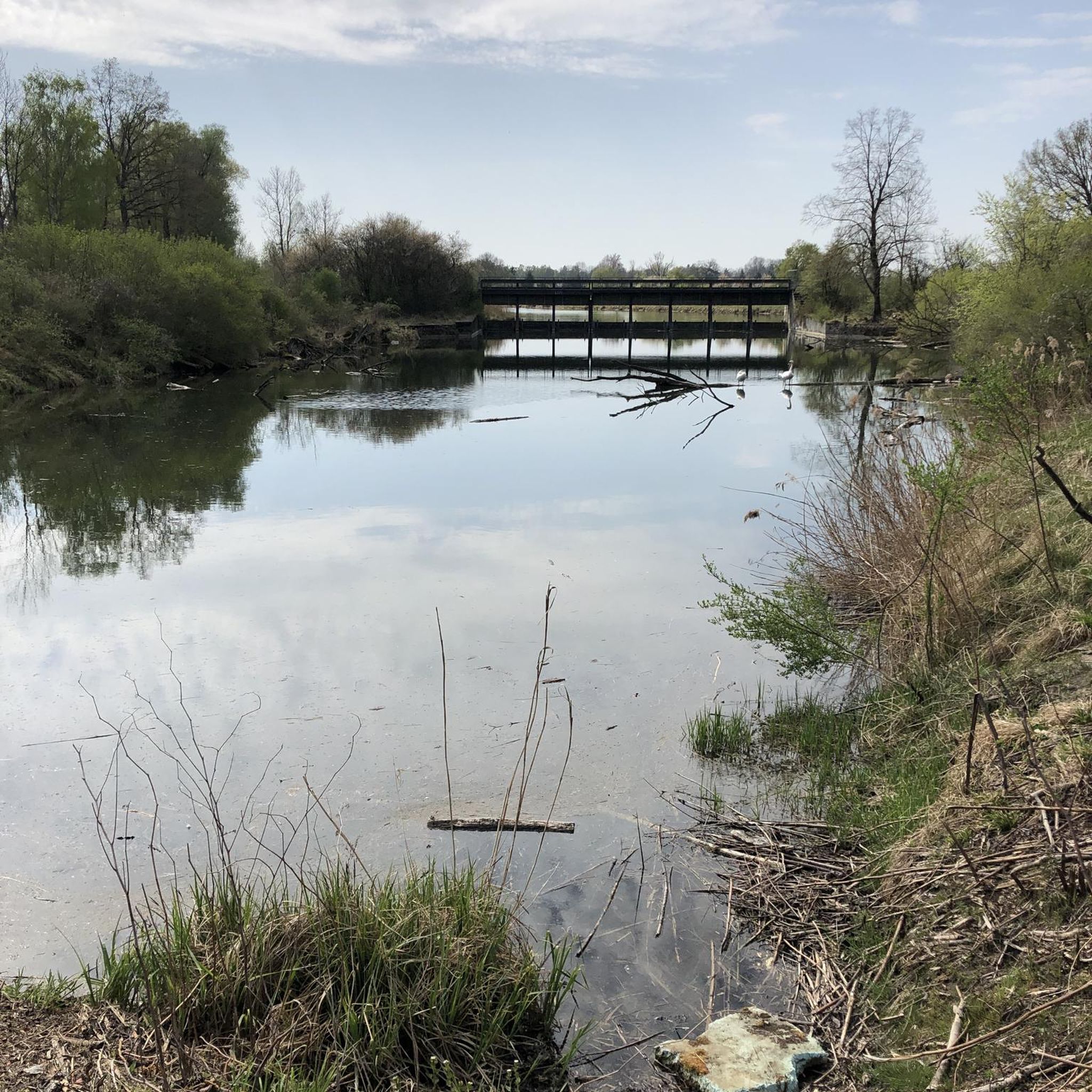
The Old Trunk spur of the Grand Trunk Trail runs parallel to the Speed River. Here the river merges into Guelph Lake, and continues south into Guelph. This is one of the more serene sections of the river and you can really appreciate it with the forest surrounding.
0
0
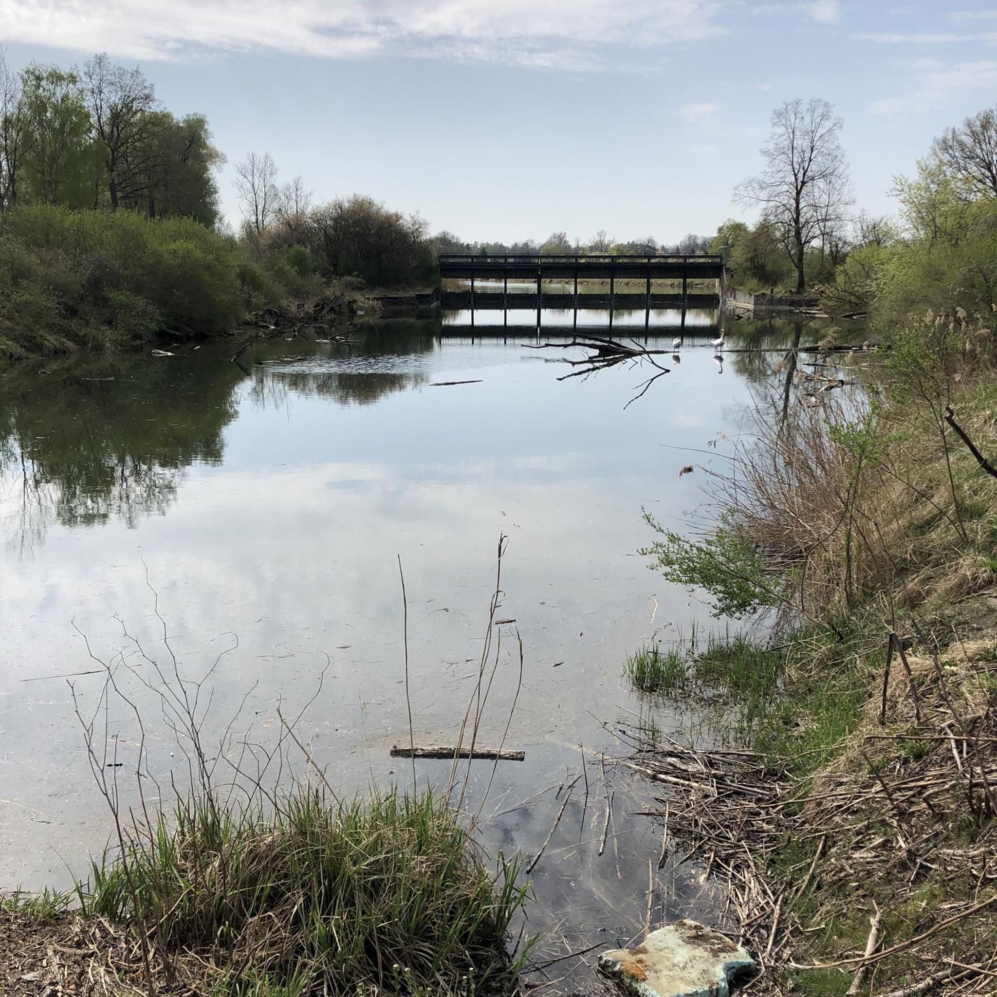
Just past the dam here, the road ends and there are some very nice views of Guelph Lake. There is a trail that connects down to the beach directly to the north from here, and the path to the south connects to the Guelph Lake Trails.
0
0
Here the crushed gravel trail runs right along the river's edge, with views across to Riverside Park. The Speed River Trail and Royal Recreation Trail overlap here as you enter Guelph from the north, but the two paths diverge on their way out of the city.
0
0
The path is shady and paved with fine crushed gravel. You can often find bikers and walkers enjoying the woods alongside the river.
0
0
Frequently Asked Questions
What kind of terrain can I expect on the hiking trails in Guelph Lake Conservation Area?
The trails in Guelph Lake Conservation Area offer a diverse landscape. You'll find yourself walking through varied wooded areas, along the picturesque waterfront of Guelph Lake and the Speed River, and across open fields and meadows. This mix provides a rich natural experience with different ecosystems to explore.
Are there any easy hiking trails suitable for beginners or casual walkers?
Yes, Guelph Lake Conservation Area has several easy trails perfect for beginners or those looking for a relaxed stroll. An excellent option is the Marden Tract Trail, which is just over 2 kilometers long. Another accessible choice is the Crane Park Trail loop — Guelph, which is about 4.5 kilometers and leads through easily accessible paths.
What are some notable natural features or landmarks to look out for while hiking?
Hikers can enjoy the expansive Guelph Lake itself, the winding Speed River, and the significant Guelph Lake Dam, which offers unique perspectives of the reservoir. The area also features tall stands of reforestation and diverse ecosystems created by the combination of lake, river, fields, and forests.
Can I bring my dog on the hiking trails in Guelph Lake Conservation Area?
Yes, Guelph Lake Conservation Area is generally dog-friendly. Many trails allow leashed dogs, making it a great place to explore with your canine companion. Always ensure your dog is on a leash and that you clean up after them to maintain the natural environment for everyone.
Are there any family-friendly hiking options in the area?
Absolutely. The conservation area offers trails suitable for families. The varied landscapes and relatively gentle terrain on many paths make them enjoyable for all ages. Consider shorter, easy routes like the Marden Tract Trail for a pleasant family outing.
What is the best time of year to go hiking in Guelph Lake Conservation Area?
Guelph Lake Conservation Area is enjoyable year-round. Spring brings fresh greenery and blooming wildflowers, while autumn offers vibrant fall colors. In winter, the trails are suitable for snowshoeing and cross-country skiing, providing a different kind of outdoor experience. Summer is popular for hiking, with the added benefit of beaches and water activities.
Are there any loop trails available for hiking?
Yes, there are several loop trails in and around Guelph Lake Conservation Area. For example, the Crane Park Trail loop — Guelph is a popular easy option. For a moderate challenge, you could explore the Rockwood Conservation Area – Cedar Trail Lookout loop, which offers a longer circular route.
What do other hikers say about the trails in Guelph Lake Conservation Area?
The trails in Guelph Lake Conservation Area are highly regarded by the komoot community, with an average rating of 4.8 stars. Hikers often praise the diverse scenery, including the beautiful lake views, wooded sections, and open fields, as well as the well-maintained paths suitable for various activity levels.
Are there opportunities for winter hiking or other winter activities?
Yes, the extensive trail network in Guelph Lake Conservation Area is maintained for year-round use. In winter, many of the trails are suitable for snowshoeing and cross-country skiing, offering a peaceful way to experience the snowy landscape.
Are there any longer, more challenging hikes in the area?
For those seeking a longer, moderate hike, consider routes like the Ruins of the Old Stone Mill – Cedar Trail Lookout loop. This trail is approximately 9.4 kilometers long and features more elevation gain, providing a good workout while still offering scenic views.
Is there parking available at Guelph Lake Conservation Area?
Yes, Guelph Lake Conservation Area provides ample parking facilities for visitors. There are designated parking areas throughout the park, making it convenient to access various trailheads and amenities.
Most popular routes in Guelph Lake Conservation Area

Get inspired with the komoot mobile app


Explore more
Browse the best Hikes in other regions.
