The best road cycling routes in Roseville Swamp / Blair Creek Corridor
3.3
(5)
81
riders
7
rides
Road cycling routes in Roseville Swamp / Blair Creek Corridor traverse a landscape characterized by its natural creek corridors and wetland areas, offering a mix of flat sections and gentle rolling hills. The region provides a varied terrain for road cyclists, often following waterways and connecting local parks. Elevation changes are generally moderate, making it accessible for a range of abilities. This area in Ontario is known for its green spaces and interconnected pathways suitable for road biking.
Best road…
Last updated: July 18, 2026
5.0
(3)
9
riders
Easy road ride. Great for any fitness level. Mostly well-paved surfaces and easy to ride.
2.0
(1)
2
riders
25.3km
01:03
140m
140m
Easy road ride. Great for any fitness level. Mostly well-paved surfaces and easy to ride.

Sign up for free
13
riders
38.4km
01:55
170m
170m
Moderate road ride. Great for any fitness level. Some segments of this route may be unpaved and difficult to ride.
3
riders
48.7km
02:21
270m
270m
Moderate road ride. Good fitness required. Some segments of this route may be unpaved and difficult to ride.
19
riders
18.4km
00:47
80m
80m
Easy road ride. Great for any fitness level. Mostly well-paved surfaces and easy to ride.
Get access to more routes and recommendations from other explorers.
Sign up for free
Already have an account?
Our route recommendations are based on thousands of hikes, rides, and runs completed by other people on komoot.
Start today with a free account
Your next adventure awaits.
Login or Signup
Popular around Roseville Swamp / Blair Creek Corridor
Tips from the Community

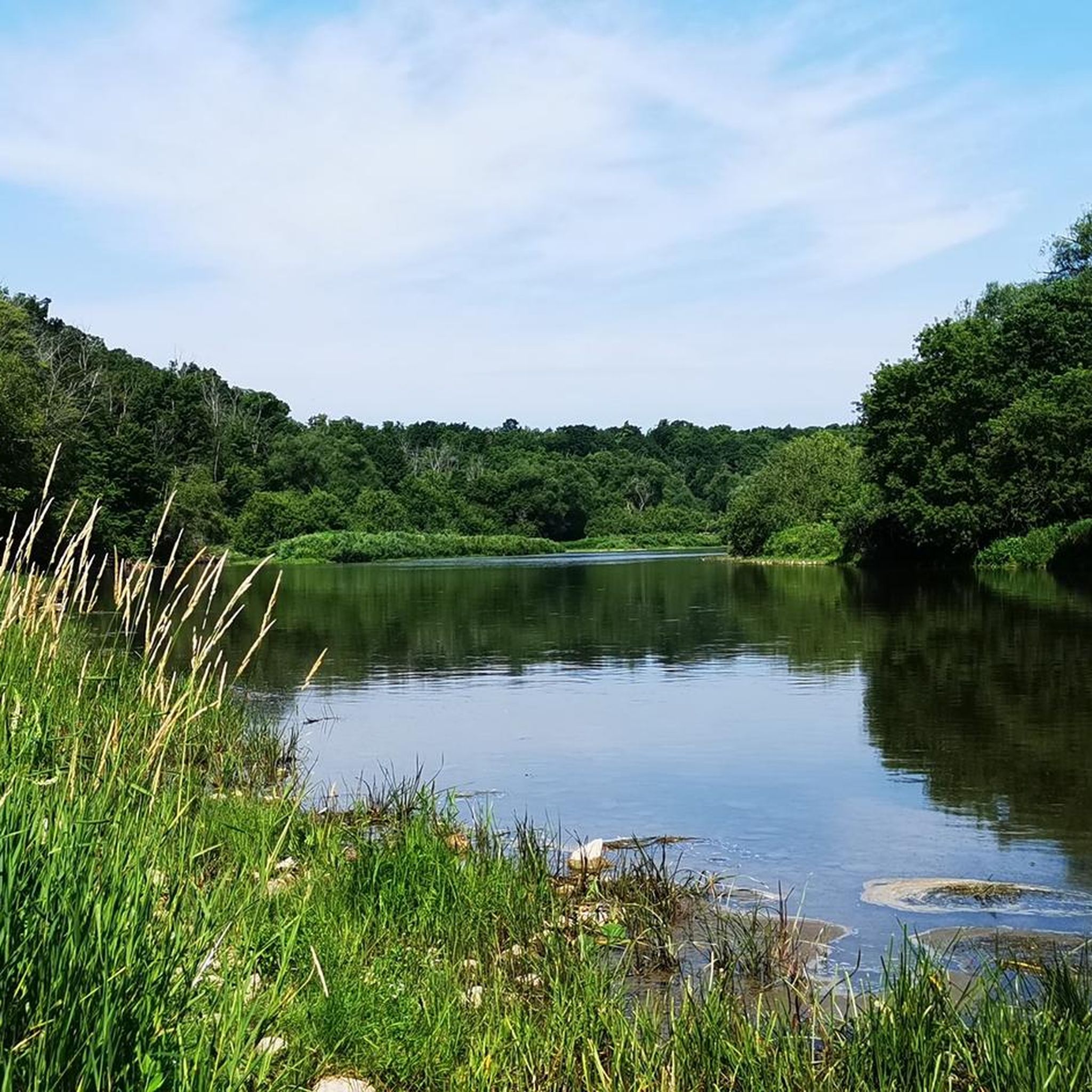
Schneider Creek winds through Kitchener, flowing past neighbourhoods, parks, and natural areas before it reaches the Grand River. Paths and green spaces follow sections of the creek, with mature trees, small bridges, and quiet pockets of nature creating peaceful places to pause along the water. Although it passes through urban areas, some sections feel surprisingly calm, with birds and other wildlife often spotted nearby.
0
0

The monument does more than just show off old European design. It sits at the center of modern community conversations. As you walk by, you might notice how it serves as a powerful reminder of Canada's complex colonial past. In fact, local groups are working to add new Indigenous artwork nearby to give you a fuller look at the area's diverse history.
0
0
Officially named Otis Little Lake but known by locals simply as the lake at Victoria Park, this man-made gem has been a community hub since 1896.
0
0
Built back in 1896, this rare, iron-and-steel cantilever truss bridge is one of the oldest of its kind in Canada.
1
0

Laurel Creek runs quietly alongside much of the trail. In most sections, it’s wide like a small river, with reeds, grasses, and low vegetation lining the banks. The water level can vary depending on rainfall, and in drier periods it can look quite low. It’s not used for recreation, but it adds a consistent natural element to the route, especially through the less developed stretches.
0
0
Laurel Trail runs for about eight kilometres alongside Laurel Creek, connecting Uptown Waterloo with the University of Waterloo and down to Columbia Lake. It’s a multi-use route with a mix of paved and gravel sections, so you’ll be sharing it with cyclists in places. The terrain is mostly level, following the creek through a mix of urban green space and more natural stretches. It’s easy to dip in and out of, but also works well as a continuous route if you follow it end to end.
0
0

Schneider Park is a quiet riverside park located along the banks of the Grand River. The park features wooded trails, open green space, and scenic views of the river. It’s also part of the larger Grand River trail network, which connects several parks and natural areas throughout the region.
0
0

The Grand Valley Trail runs for roughly 250 kilometers through southwestern Ontario, following the Grand River through historic towns, quiet farmland, and scenic riverbanks, giving hikers a real taste of the province’s natural and rural beauty. The trail has a variety terrain, well-maintained paths, and green spaces for both short outings or a long thru-hike.
0
0
Frequently Asked Questions
How many road cycling routes can I find in Roseville Swamp / Blair Creek Corridor?
There are currently 7 road cycling routes available in the Roseville Swamp / Blair Creek Corridor area on komoot. These routes offer a variety of experiences, from easy loops to more moderate rides.
Are there road cycling routes suitable for beginners in Roseville Swamp / Blair Creek Corridor?
Yes, the region offers 2 easy road cycling routes perfect for beginners. A great option is the Cowan's Lake loop from Cambridge, which is 9.9 miles (15.9 km) long and features gentle terrain.
What is the best time of year for road cycling in Roseville Swamp / Blair Creek Corridor?
The spring, summer, and fall months generally offer the best conditions for road cycling in Roseville Swamp / Blair Creek Corridor. Spring brings lush greenery, while fall showcases vibrant foliage. Summers are typically warm, ideal for longer rides. Winter cycling is possible but requires appropriate gear for colder temperatures and potential icy patches.
What kind of terrain can I expect on road cycling routes in this region?
Road cycling routes in Roseville Swamp / Blair Creek Corridor feature a mix of flat sections and gentle rolling hills. The landscape is characterized by natural creek corridors and wetland areas, often following waterways and connecting local parks. Elevation changes are generally moderate, making it accessible for a range of abilities.
Are there any longer road cycling routes for experienced riders?
For experienced riders looking for a longer challenge, the Riverside Park – Shantz Hill loop from Fairway is a moderate 30.2 miles (48.7 km) route with 890 feet (271 m) of elevation gain, offering a more extensive ride through the area.
Can I find circular road cycling routes in Roseville Swamp / Blair Creek Corridor?
Yes, most of the road cycling routes in Roseville Swamp / Blair Creek Corridor are designed as loops. For example, the popular Roadbike loop from Strasburg Creek Corridor is a moderate 15.7 miles (25.3 km) path that brings you back to your starting point.
What do other road cyclists enjoy most about the routes here?
The area is highly rated by the komoot community, with an average score of 3.3 stars from 5 reviews. Road cyclists often praise the varied scenery, the pleasant rides through creek corridors, and the accessibility for different ability levels.
Are there any routes that pass by water features or reservoirs?
Yes, the Waterloo Park – View of Laurel Creek Reservoir loop from Fairway is a 23.7 miles (38.1 km) route that leads through parklands and past the scenic Laurel Creek Reservoir, offering beautiful views of the water.
What kind of wildlife might I encounter while road cycling in the region?
Given the region's natural creek corridors and wetland areas, you might spot various bird species, small mammals, and aquatic wildlife. Keep an eye out for waterfowl near the reservoirs and along the creek banks, especially during quieter times of day.
Are there any routes that offer views of gardens or parks?
Absolutely. The Homer Watson Park – Flower Garden with Fountain loop from Conestoga College - Doon Campus is a 22.1 miles (35.5 km) route that takes you through Homer Watson Park, featuring a flower garden and fountain, providing a pleasant visual experience during your ride.
Are there cafes or places to stop for refreshments along the road cycling routes?
While specific cafes are not directly on every route, many routes connect to or pass near urban and suburban areas like Cambridge and Waterloo, where you can find various cafes, restaurants, and convenience stores for refreshments. Planning your stops in advance is recommended.
Most popular routes in Roseville Swamp / Blair Creek Corridor

Get inspired with the komoot mobile app


Explore more
Browse the best Road cycling routes in other regions.
