The best walks and hikes around Hollern-Twielenfleth
4.3
(79)
647
hikers
28
hikes
Hiking around Hollern-Twielenfleth offers diverse experiences within the Altes Land region of Germany. The area is characterized by its location along the Elbe river, featuring extensive dikes, vast fruit orchards, and protected moorland areas. Terrain is generally flat, with minimal elevation changes, providing accessible paths for various activity levels.
Best hiking trails around Hollern-Twielenfleth
- The most popular hiking route is Twielenfleth Lighthouse – Bassenfleth Beach loop from Twielenfleth, a 3.9 miles (6.3 km) trail that takes 1 hour 35…
Last updated: July 5, 2026
3.9
(8)
120
hikers
Easy hike. Great for any fitness level. Easily-accessible paths. Suitable for all skill levels.
4.3
(12)
41
hikers
21.0km
05:19
40m
40m
Hard hike. Very good fitness required. Easily-accessible paths. Suitable for all skill levels.

Sign up for free
3.9
(7)
130
hikers
Easy hike. Great for any fitness level. Easily-accessible paths. Suitable for all skill levels.
3.0
(4)
26
hikers
Moderate hike. Good fitness required. Easily-accessible paths. Suitable for all skill levels.
4.6
(8)
24
hikers
Moderate hike. Good fitness required. Easily-accessible paths. Suitable for all skill levels.
Get access to more routes and recommendations from other explorers.
Sign up for free
Already have an account?
Our route recommendations are based on thousands of hikes, rides, and runs completed by other people on komoot.
Start today with a free account
Your next adventure awaits.
Login or Signup
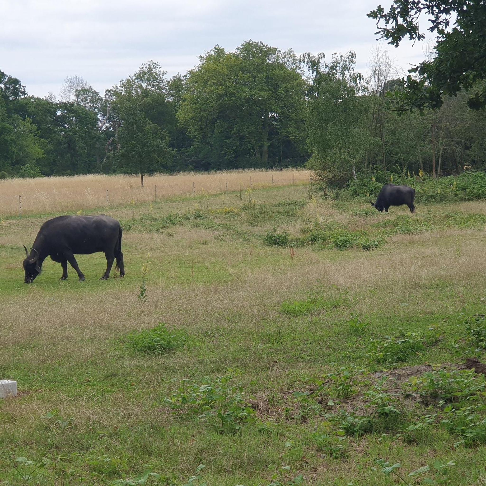
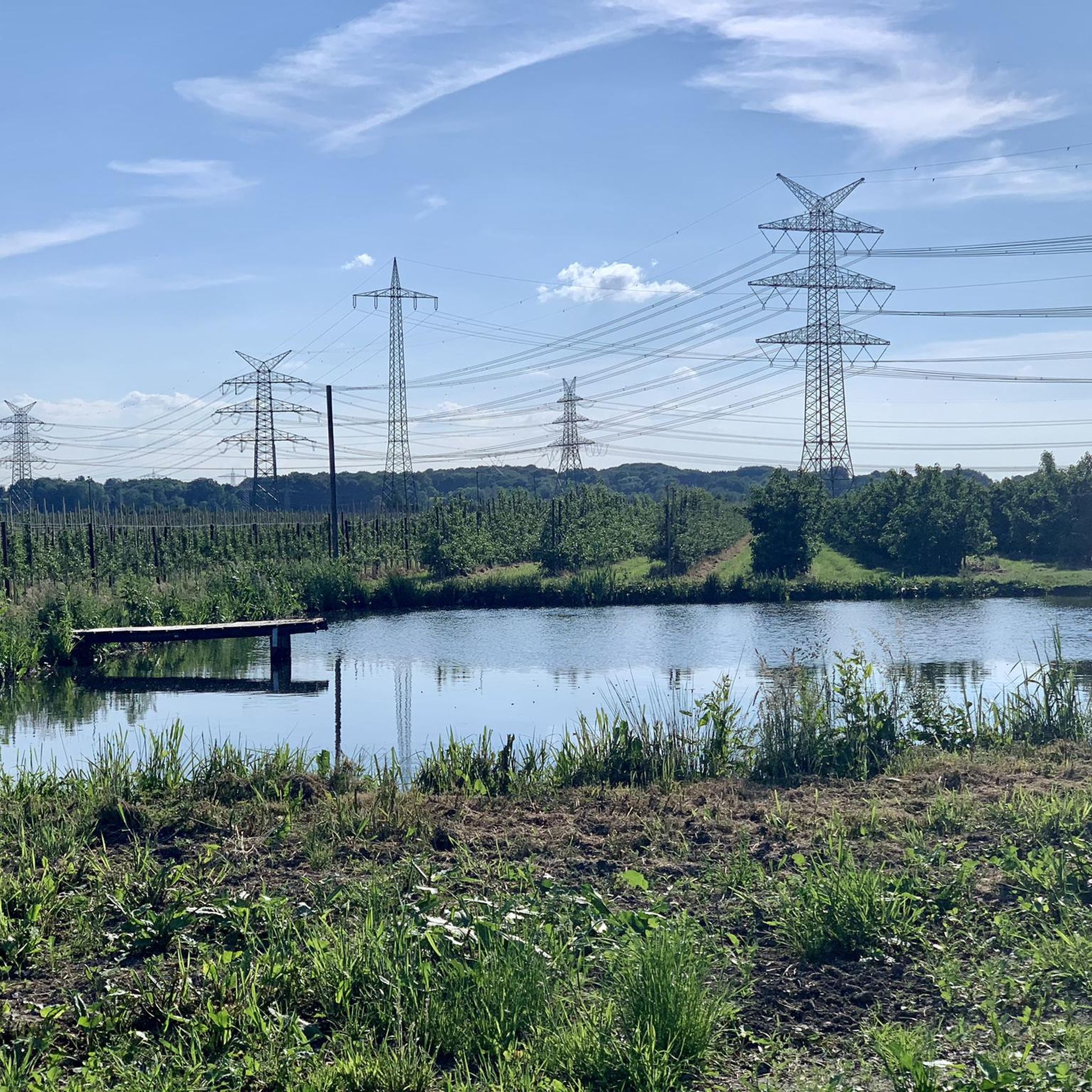
Other adventures around Hollern-Twielenfleth

Tips from the Community

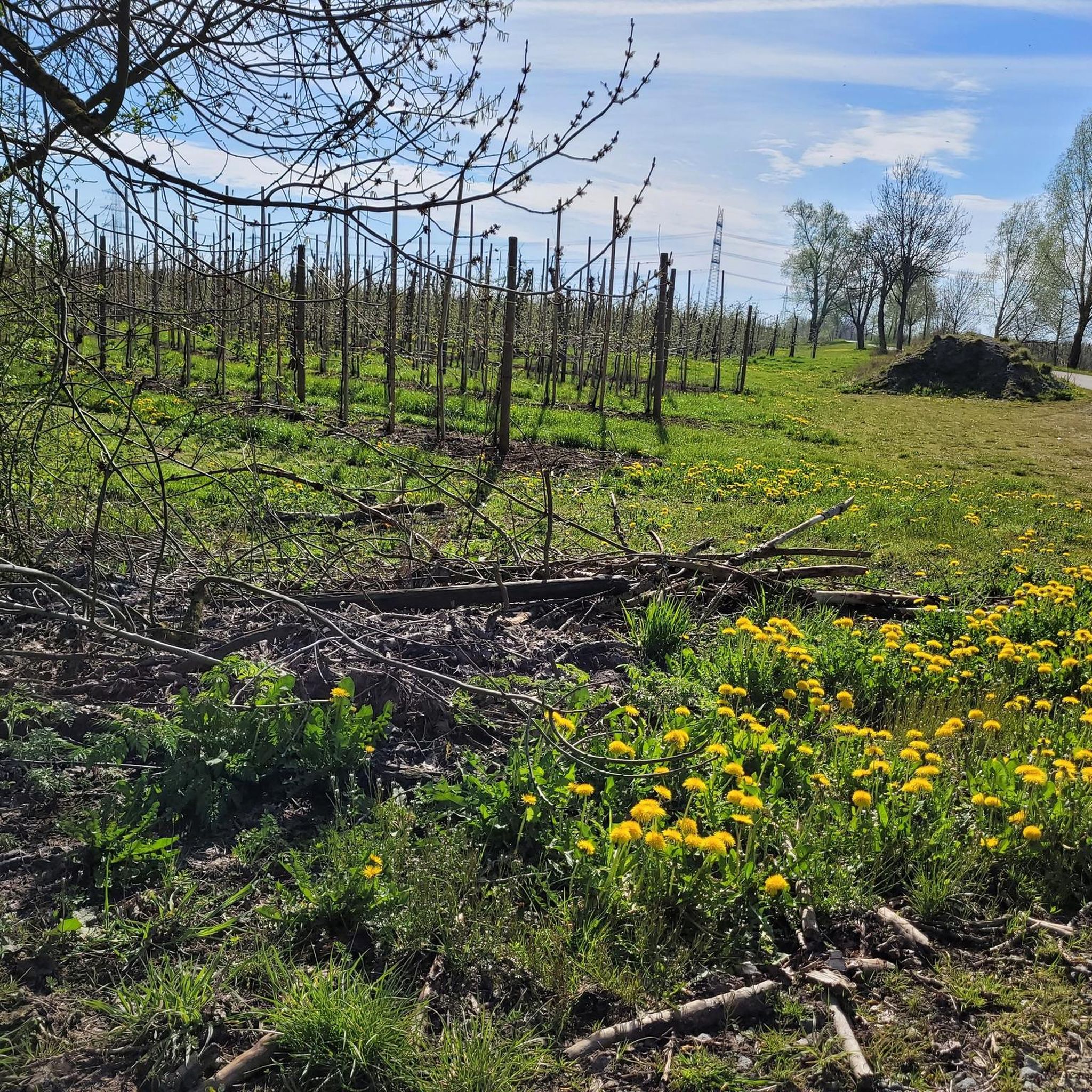
A great cycling and hiking route runs here through beautiful nature.
0
0
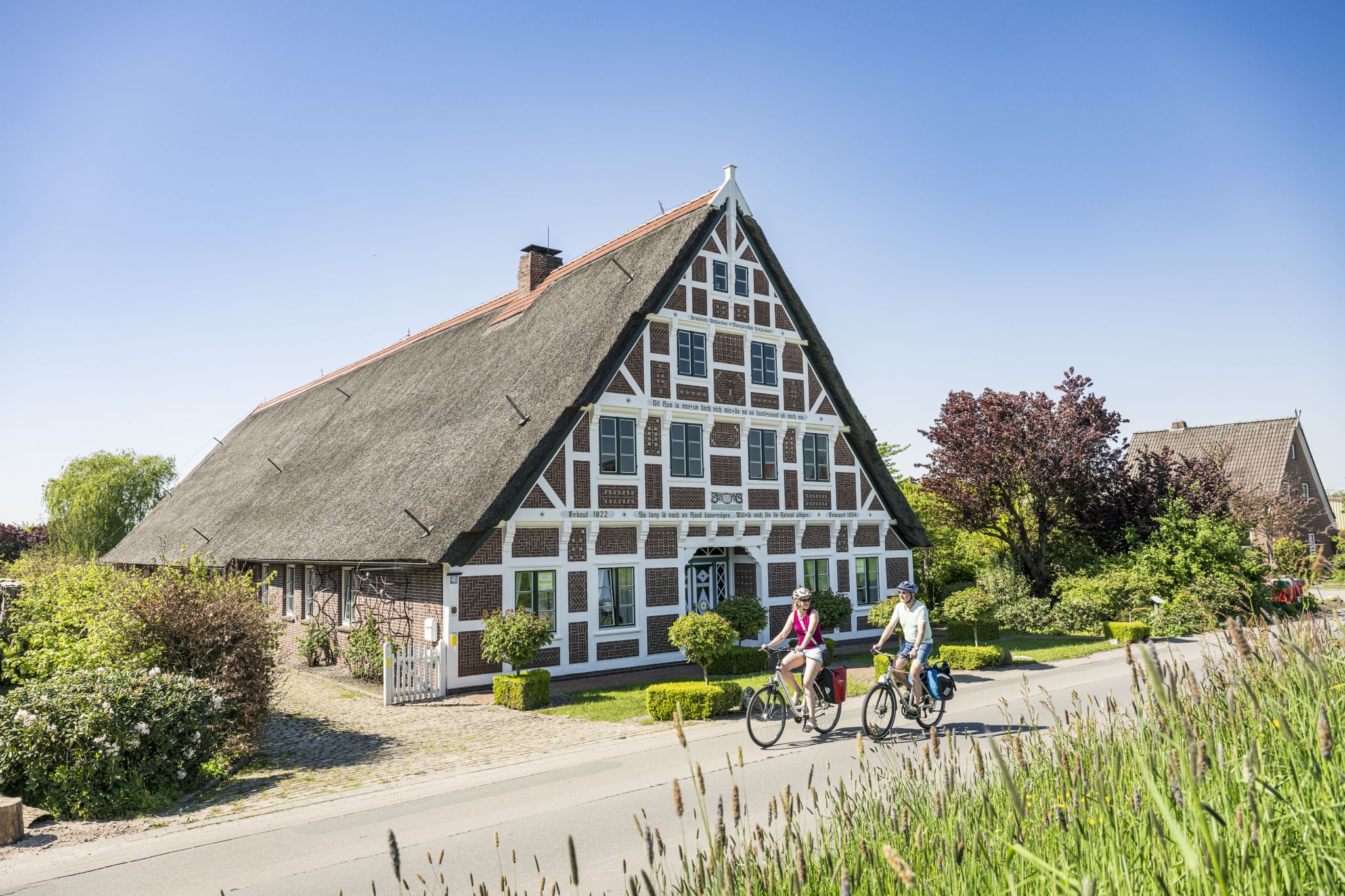
From the top of the dike, you have a great view of both sides of the dike. A great cycling and hiking trail leads along here amidst beautiful nature. It leads past the beach, the apple orchards, the monument of Twielenfleth, the Kaffeeklappe, the Twielenflether Fährhaus, the camper parking space, the bathing area, the playground, a magnificent view of the Elbe with the big ships, the Altes Land holiday village and the old-fashioned half-timbered houses of the Altes Land.
1
0
A great bike and hiking trail runs along here amidst beautiful nature 💚.
2
0
A great bike route and hiking trail runs along here amidst beautiful nature.
2
0
A great half-timbered church in the middle of orchards. The current location of the church was not always the same. In the 14th and 15th centuries, severe storm surges forced people to relocate the old village center with the church and cemetery. Due to its dilapidated state, the church was rebuilt in 1819 on the old foundations as a simple half-timbered structure with brick infill.
3
0
St. Mary's Church is counted among the so-called "Schifferkirchen" (ship churches). A special gem is the ship model of the "Hoffnung" sea-ewer, a type of sailboat typical for the Elbe region. The church's namesake is the Mother of God Mary, who also stands out as the central figure in the altarpiece. Inside, visitors can expect a bright room with a wooden barrel-vaulted ceiling; the altar, pulpit, and baptismal font are simple yet impressively to be admired. The Furtwängler organ from 1860, which is still in its original condition, is highly recommended. A visit is both recommended and interesting. Services are held regularly on Sundays at 11 am. For exact dates, please visit the linked website (as of November 2025).
5
0
A great cycling and hiking route runs along here amidst beautiful nature.
2
0
A fantastic winter hike in sub-zero temperatures to admire the ice floes. Highly recommended and interesting at the same time.
5
0
Frequently Asked Questions
How many hiking trails are available around Hollern-Twielenfleth?
There are over 15 hiking routes around Hollern-Twielenfleth, offering a variety of experiences from easy riverside strolls to more challenging paths connecting to nearby towns. The komoot community has explored these trails over 500 times.
What kind of terrain can I expect on hikes in Hollern-Twielenfleth?
The terrain around Hollern-Twielenfleth is generally flat, characterized by extensive Elbe dikes, vast fruit orchards, and protected moorland areas. You'll find paths suitable for various activity levels, with minimal elevation changes.
Are there any family-friendly hiking options in Hollern-Twielenfleth?
Yes, the region offers several easy routes suitable for families. The Elbe dikes provide wide, flat paths, and the "Elbwiesen" nature trail is specifically designed to offer educational insights into local flora and fauna, making it a great option for children.
Can I bring my dog on the hiking trails?
Many trails along the Elbe dikes and through the orchards are suitable for dogs, provided they are kept on a leash, especially in nature reserve areas like the Twielenflether Moor, to protect local wildlife. Always check local signage for specific regulations.
What are the best times of year to go hiking in Hollern-Twielenfleth?
The best times for hiking are generally spring and autumn. Spring offers the beautiful blossom of the fruit orchards, while autumn provides a stunning display of colors. Summer mornings or evenings also offer pleasant conditions, especially along the Elbe.
Are there any circular walks available?
Yes, many routes in the area are designed as circular walks. For example, the Twielenfleth Lighthouse – Bassenfleth Beach loop from Twielenfleth is an easy 3.9-mile (6.3 km) circular trail along the Elbe dike, offering scenic river views.
What natural features or landmarks can I see along the trails?
You can enjoy diverse natural features such as the Elbe Dike with expansive river views, vast fruit orchards, and the Twielenflether Moor Nature Reserve. Notable landmarks include the Aurora mill and the View of the Elbe River. Some longer routes also connect to the historic Old town of Stade.
Are there any challenging hikes for experienced hikers?
While much of the terrain is flat, there are longer routes that offer a more challenging experience. The Stade Old Town Hall – The Watchers (Stade) loop from Lühesand is a difficult 12.5-mile (20.1 km) path that provides varied scenery and a longer duration for experienced hikers.
Where can I find parking for hiking trails in Hollern-Twielenfleth?
Parking is generally available at various starting points for trails, particularly in and around the villages of Hollern and Twielenfleth. Many routes, especially those along the Elbe, have designated parking areas nearby to accommodate hikers.
What do other hikers enjoy most about the trails in Hollern-Twielenfleth?
The trails in Hollern-Twielenfleth are highly rated by the komoot community, with an average score of 4.4 stars. Hikers often praise the picturesque views along the Elbe, the peaceful atmosphere of the fruit orchards, and the well-maintained paths that make for enjoyable walks.
Are there any historical sites or castles accessible from the hiking routes?
Yes, beyond the natural beauty, you can explore historical sites. Agathenburg Castle, with its beautiful park, is a notable cultural attraction in the vicinity, offering a glimpse into historical atmospheres. Some routes also lead towards the historic town of Stade.
Are there any routes that offer views of the Elbe River?
Absolutely. Many of the most scenic routes in Hollern-Twielenfleth run directly along the Elbe dike, providing extensive and uninterrupted views of the river and the surrounding landscape. The Bassenfleth Beach – Twielenfleth Lighthouse loop from Hollern-Twielenfleth is a great example, leading through riverine landscapes.
Most popular routes around Hollern-Twielenfleth
Most popular attractions around Hollern-Twielenfleth

Get inspired with the komoot mobile app


Explore more
Browse the best Hikes in other regions.
