The best walks and hikes around Hohenwarth-Mühlbach a.M.
4.6
(1376)
7,479
hikers
18
hikes
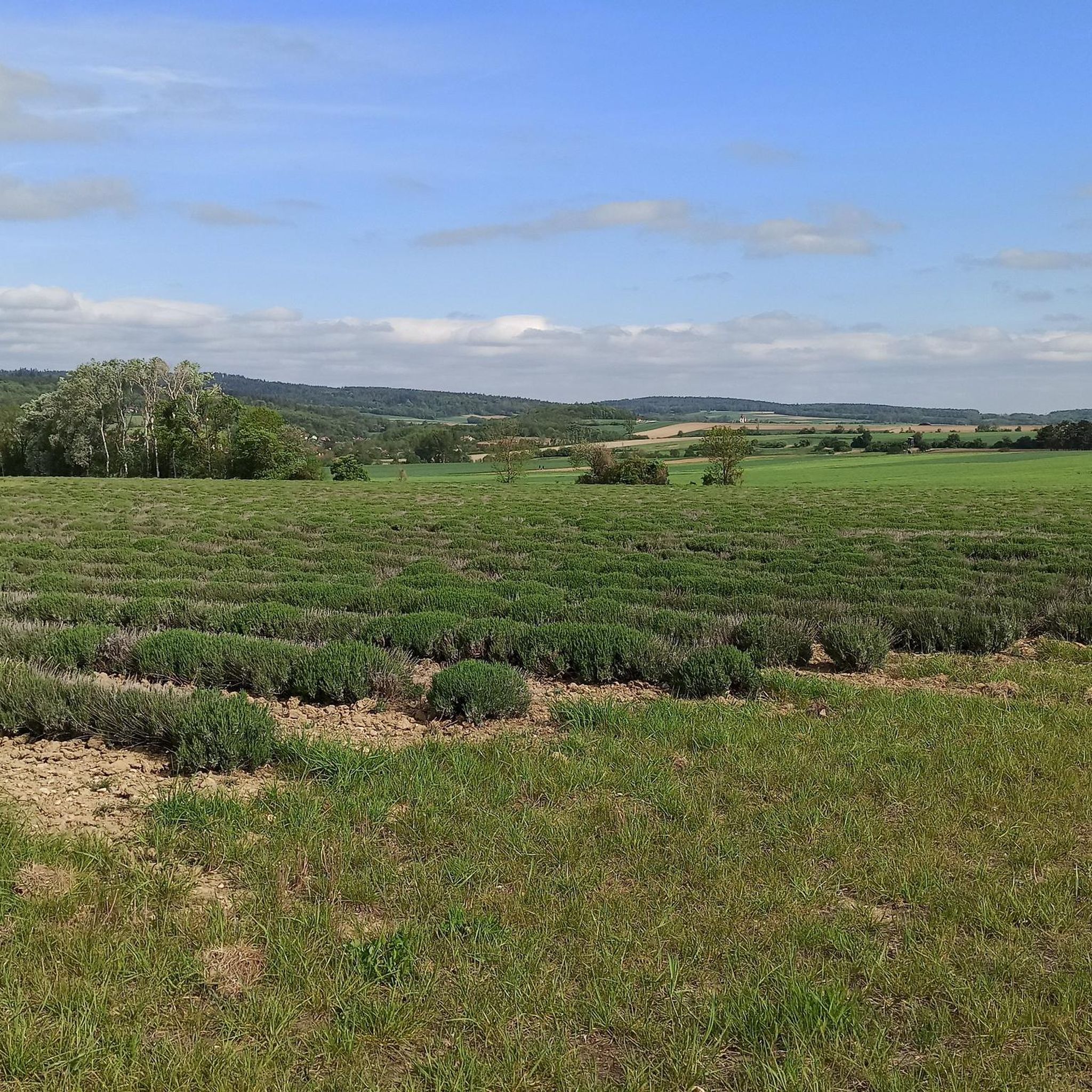
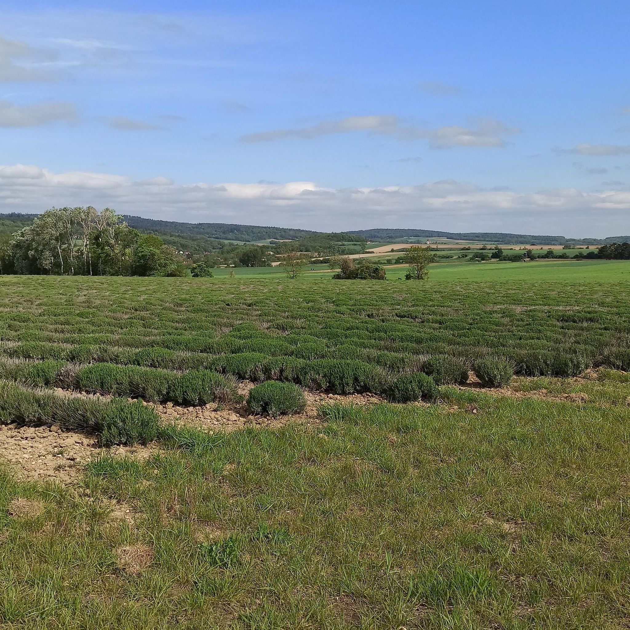
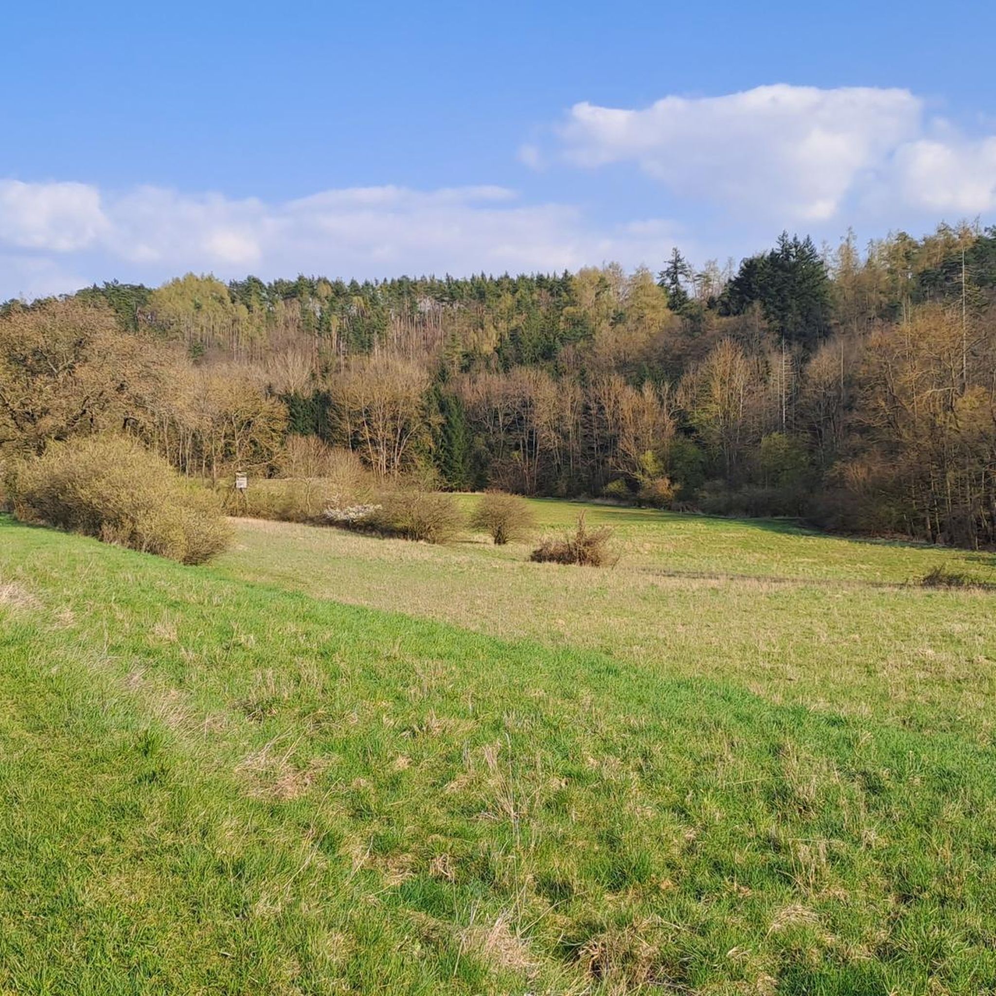
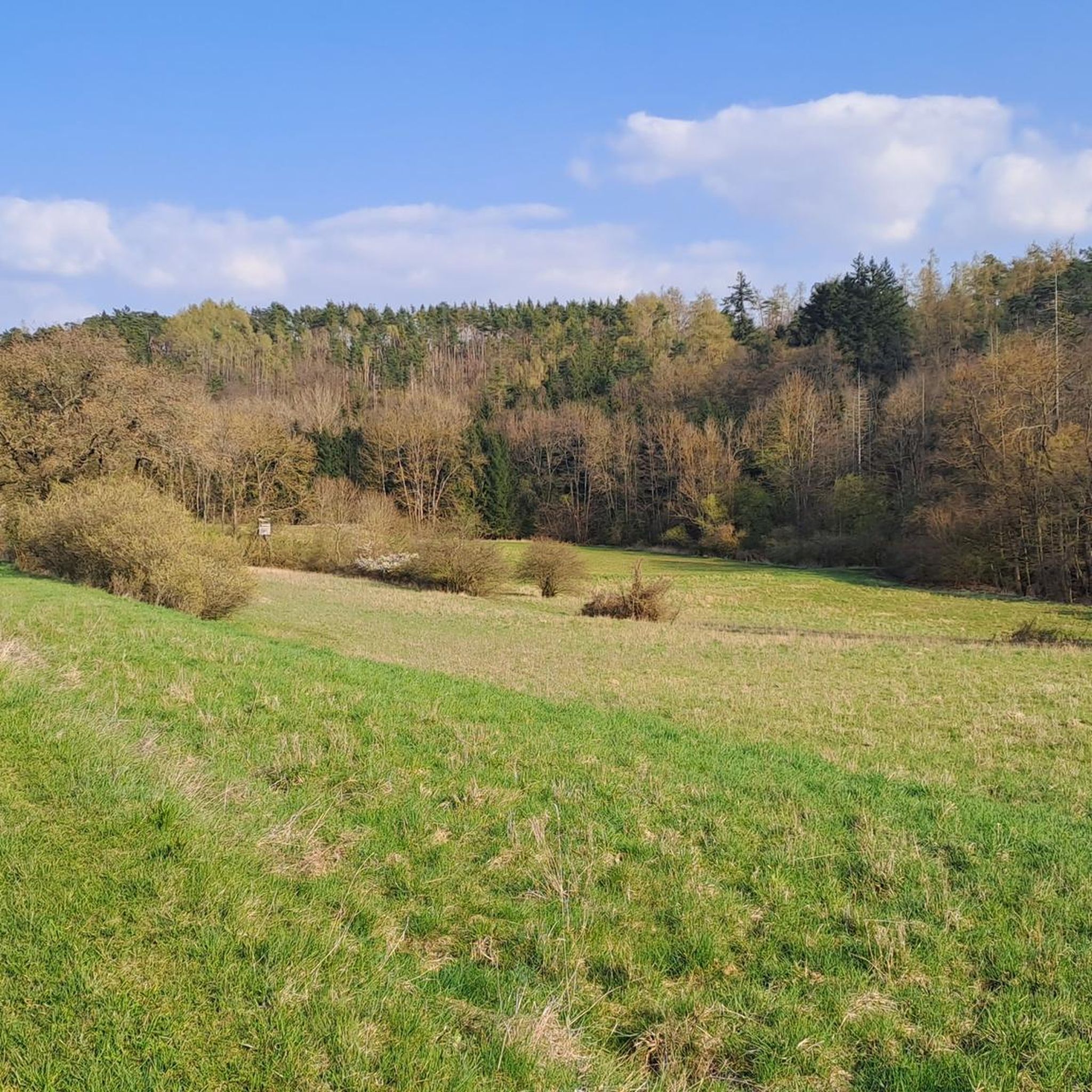
Hiking around Hohenwarth-Mühlbach a.M. features a transitional landscape bridging the forested Waldviertel and the vine-covered Weinviertel. The terrain includes gently rolling hills, extensive vineyards, and the forests of the Manhartsberg. The Sulzberg, reaching 528 meters, is a prominent landmark within this diverse region. Hikers can find varied scenery and views of the Danube valley from several points.
Best hiking trails around Hohenwarth-Mühlbach a.M.
- The most popular hiking route is Dried Lake with Fishing Hut loop from Hohenwarth-Mühlbach am Manhartsberg,…
Last updated: July 1, 2026
4.9
(14)
30
hikers
Easy hike. Great for any fitness level. Easily-accessible paths. Suitable for all skill levels.
4.8
(4)
11
hikers
10.1km
02:46
160m
160m
Moderate hike. Good fitness required. Easily-accessible paths. Suitable for all skill levels.

Sign up for free
3.7
(3)
19
hikers
3.42km
00:54
20m
20m
Easy hike. Great for any fitness level. Easily-accessible paths. Suitable for all skill levels.
4.3
(3)
15
hikers
13.8km
03:56
330m
330m
Moderate hike. Good fitness required. Easily-accessible paths. Suitable for all skill levels.
5.0
(3)
9
hikers
16.5km
04:36
310m
310m
Moderate hike. Good fitness required. Easily-accessible paths. Suitable for all skill levels.
Get access to more routes and recommendations from other explorers.
Sign up for free
Already have an account?
Our route recommendations are based on thousands of hikes, rides, and runs completed by other people on komoot.
Start today with a free account
Your next adventure awaits.
Login or Signup
Tips from the Community

The castle in Mühlbach am Manhartsberg looks beautiful.
0
0

From here you can quickly reach the summit cross of the Manhartsberg!
0
0

The oak tree stands on the state road 1238 at the point where you can also get to Zemling via the flat summit of the Manhartsberg. It is decorated with a statuette of the Holy Mary. According to legend, a disgraced Swedish officer fled from being shot at this spot during the Thirty Years' War. Out of gratitude, he later shot a silver bullet into the trunk of the oak tree. https://de.wikipedia.org/wiki/Silberne_Eiche
0
0

The Manhartsberg region on the border between the Waldviertel and Weinviertel is a centuries-old settlement area with natural beauty, fertile landscapes, good infrastructure and a high quality of life. Around 11,200 people live in the seven communities on the ridge of the Manhartsberg (537 m), which forms the gateway to the Waldviertel, on 240 km2.
1
0
It is protected as a natural monument because, according to legend, a disgraced Swedish officer was able to hide in the branches of an oak tree at this spot during the Thirty Years' War and thus escape being shot. As a thank you, he is said to have later shot a silver bullet into the tree. Rumor has it that the silver bullet is still hidden under a root.
1
0

The Manhartsberg is a low, elongated ridge in Lower Austria and as such forms the natural border between the Waldviertel and the Weinviertel. It culminates in the Manhartsberg of the same name at 537 m above sea level. A. and is the southern and eastern flank of the granite massif of the granite and gneiss plateau, the Austrian part of the Bohemian Massif. Source: Wikipedia
1
0

Late Renaissance residential palace with a medieval core. Today privately owned and bookable as an event location. The castle was first mentioned in 1072. The building structure has existed since 1680 with additions from the 18th and 19th centuries.
0
0

Unfortunately, the access road is signposted with an absolute driving ban. But I think I can vaguely remember that the additional sign that once existed and had fallen down in the meantime said "except for cyclists" 🤔😉😁
2
0
Frequently Asked Questions
How many hiking trails are available in Hohenwarth-Mühlbach a.M.?
Hohenwarth-Mühlbach a.M. offers a diverse network of over 20 hiking trails. These routes cater to various preferences, winding through vineyards, forests, and along rolling hills.
Are there hiking trails suitable for all skill levels?
Yes, the region provides options for every hiker. You'll find 6 easy trails perfect for leisurely strolls, 13 moderate routes for those seeking a bit more challenge, and 1 difficult trail for experienced hikers looking for a demanding adventure.
When is the best time of year to go hiking in Hohenwarth-Mühlbach a.M.?
The best seasons for hiking in Hohenwarth-Mühlbach a.M. are spring and autumn. During these times, temperatures are mild, and the landscape displays its most vibrant colors, from blooming vineyards to autumnal forests.
Are there family-friendly hiking options in Hohenwarth-Mühlbach a.M.?
Absolutely. The region features trails designed with families in mind, such as the Kinderwanderweg Mühlbach, a short circular trail with various play and adventure stations. An easy option from our guide is the Hiking loop from Hohenwarth-Mühlbach am Manhartsberg, which is just over 3.5 km long.
Can I find circular hiking routes in the Hohenwarth-Mühlbach a.M. region?
Yes, many of the hiking routes in Hohenwarth-Mühlbach a.M. are circular, allowing you to start and end at the same point. Examples include the popular Dried Lake with Fishing Hut loop from Hohenwarth-Mühlbach am Manhartsberg and the Söllner Bründl Spring – Pyramids on the Manhartsberg loop from Olbersdorf.
What natural features or viewpoints can I expect to see while hiking?
The region offers diverse natural beauty. You can expect to see the forested slopes of the Manhartsberg, extensive vineyards, and enjoy magnificent views of the Danube valley from points like the "Hiata-Hut" in Ebersbrunn and Fischerberg. The Sulzberg, at 528 meters, is a prominent landmark.
Are there any historical sites or castles to explore near the hiking trails?
Yes, beyond the trails, you can explore cultural treasures. Mühlbach Castle and its revitalized English landscape park are notable. The region also boasts the former fortified church towering over Hohenwarth and the 7000-year-old circular ditches of Mühlbach. Nearby, you can visit Gobelsburg Castle or Grafenegg Castle.
What do other hikers enjoy most about hiking in Hohenwarth-Mühlbach a.M.?
The hiking experience in Hohenwarth-Mühlbach a.M. is highly rated by the komoot community, with an average score of 4.6 stars from nearly 900 reviews. Hikers often praise the varied scenery, from tranquil forests to picturesque vineyards, and the well-maintained paths that offer views of the Danube valley.
Are there any longer or more challenging hiking routes in the area?
For those seeking a longer challenge, the region offers routes like the Pyramids on the Manhartsberg – Söllner Bründl Spring loop from Olbersdorf, which is over 8 km long and features significant elevation changes. The more difficult Wachauer Höhenweg (10.2 miles) is also in the vicinity.
Can I combine hiking with wine tasting in Hohenwarth-Mühlbach a.M.?
Absolutely! The region is known for its vineyards. You can explore the Weinwanderrouten (Wine Hiking Routes) which lead through magnificent vineyards and offer opportunities to visit local winegrowers for tastings. The Hohenwarth hiking and cycling trail also provides scenic vistas of the wine country.
What kind of landscape defines the hiking experience in Hohenwarth-Mühlbach a.M.?
The landscape is a unique transition between the forested Waldviertel and the vine-covered Weinviertel. This creates a varied scenery of gently rolling hills, lush forests of the Manhartsberg, and extensive vineyards, offering a diverse and picturesque hiking experience.
Most popular routes around Hohenwarth-Mühlbach a.M.
Most popular attractions around Hohenwarth-Mühlbach a.M.

Get inspired with the komoot mobile app


Explore more
Browse the best Hikes in other regions.
