The best mountain hikes in Reserva Natural Dels Fons Marins Del Cap De Sant Antoni
4.2
(17)
53
hikers
4
hikes
Mountaineering in Reserva Natural Dels Fons Marins Del Cap De Sant Antoni offers routes across a dramatic headland characterized by impressive cliffs up to 175 meters high, plunging into the Mediterranean. This region is an extension of the Montgó Massif, featuring a rugged coastline with vertical rock faces, small coves, and canyons. The topography provides opportunities for strenuous hikes and exploration of significant geological formations.
Best mountaineering routes in Reserva Natural Dels Fons Marins Del Cap De Sant Antoni
- The…
Last updated: July 11, 2026
4.5
(10)
35
hikers
7.97km
03:31
490m
490m
Moderate mountaineering route. Good fitness required. Mostly accessible paths. Sure-footedness required.
4.0
(1)
6
hikers
10.3km
04:37
630m
630m
Moderate mountaineering route. Good fitness required. Mostly accessible paths. Sure-footedness required.

Sign up for free
4.0
(1)
3
hikers
6.57km
02:45
390m
390m
Moderate mountaineering route. Good fitness required. Mostly accessible paths. Sure-footedness required.
3.5
(2)
4
hikers
4.44km
01:42
250m
250m
Moderate mountaineering route. Great for any fitness level. Mostly accessible paths. Sure-footedness required.
5.0
(3)
5
hikers
5.53km
01:56
240m
240m
Moderate mountaineering route. Great for any fitness level. Mostly accessible paths. Sure-footedness required.
Our route recommendations are based on thousands of hikes, rides, and runs completed by other people on komoot.
Start today with a free account
Your next adventure awaits.
Login or Signup
Popular around Reserva Natural Dels Fons Marins Del Cap De Sant Antoni
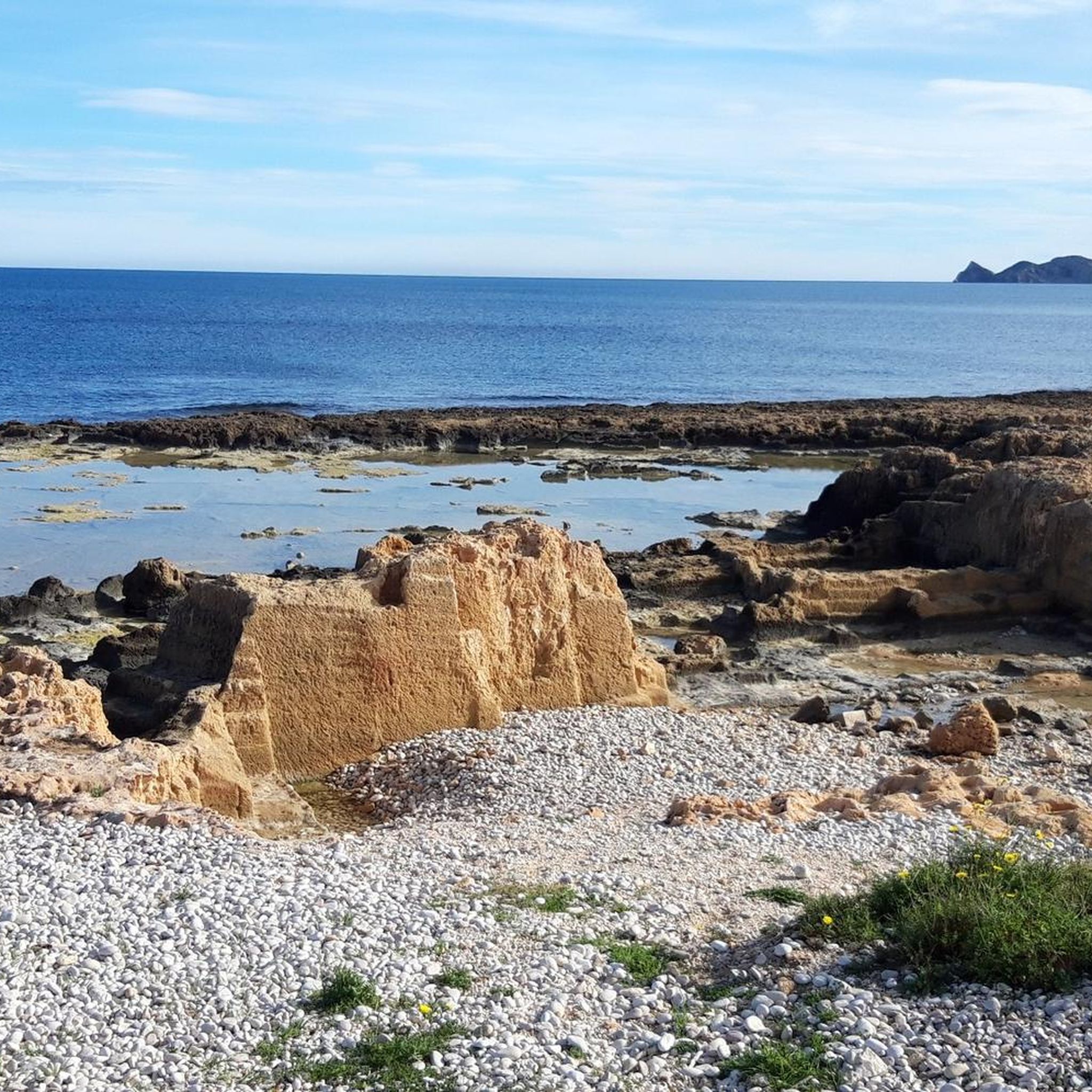
Road Cycling Routes in Reserva Natural Dels Fons Marins Del Cap De Sant Antoni
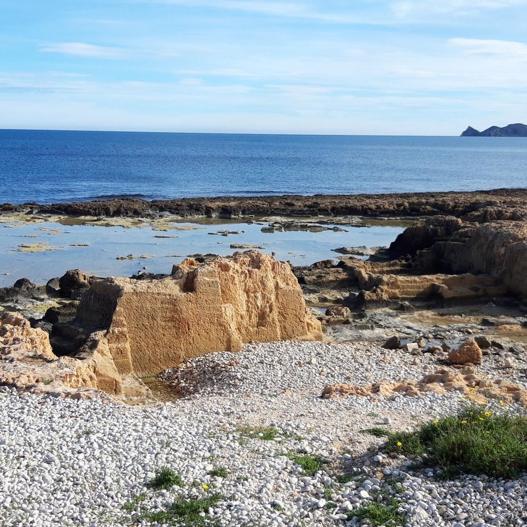
Cycling in Reserva Natural Dels Fons Marins Del Cap De Sant Antoni
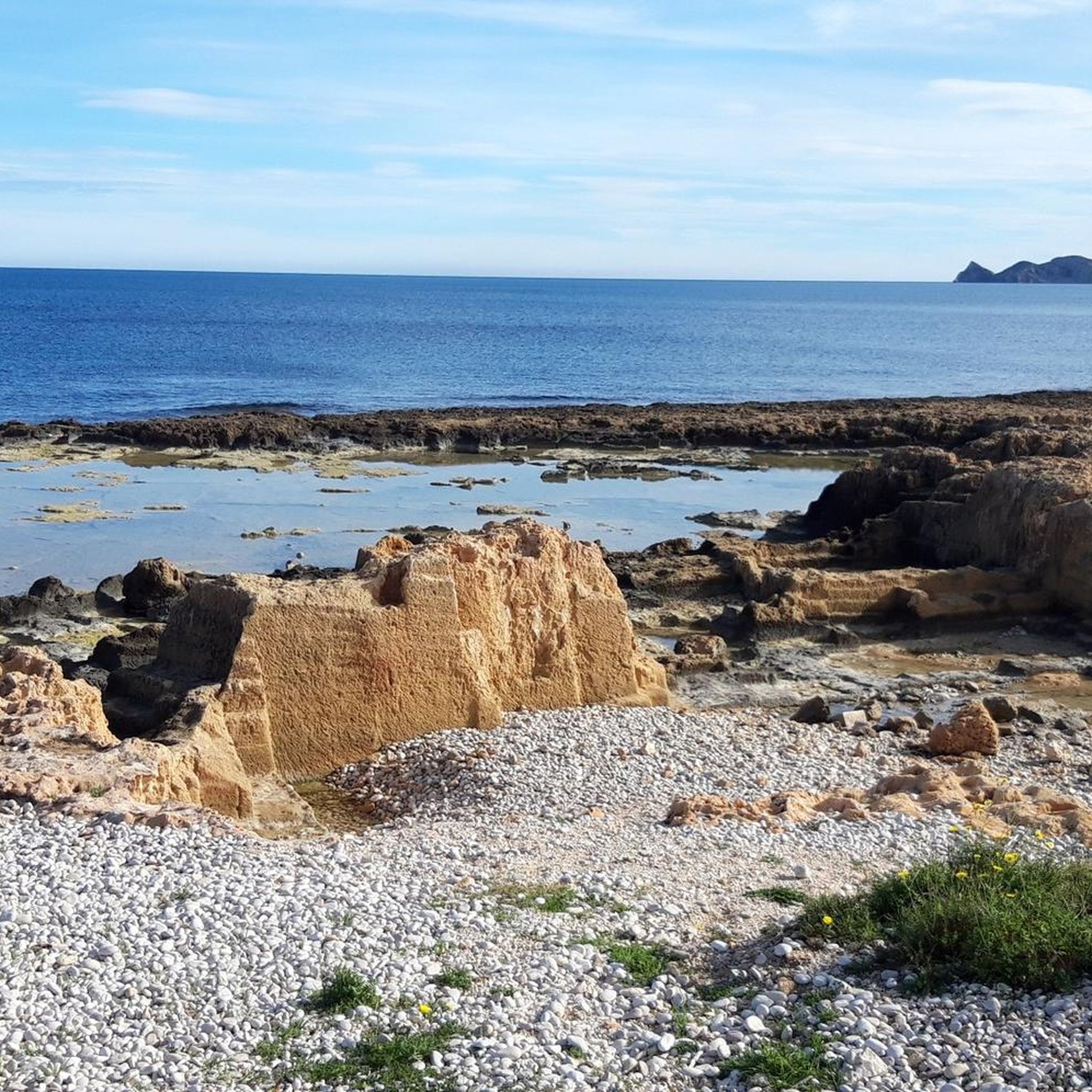
Hiking in Reserva Natural Dels Fons Marins Del Cap De Sant Antoni
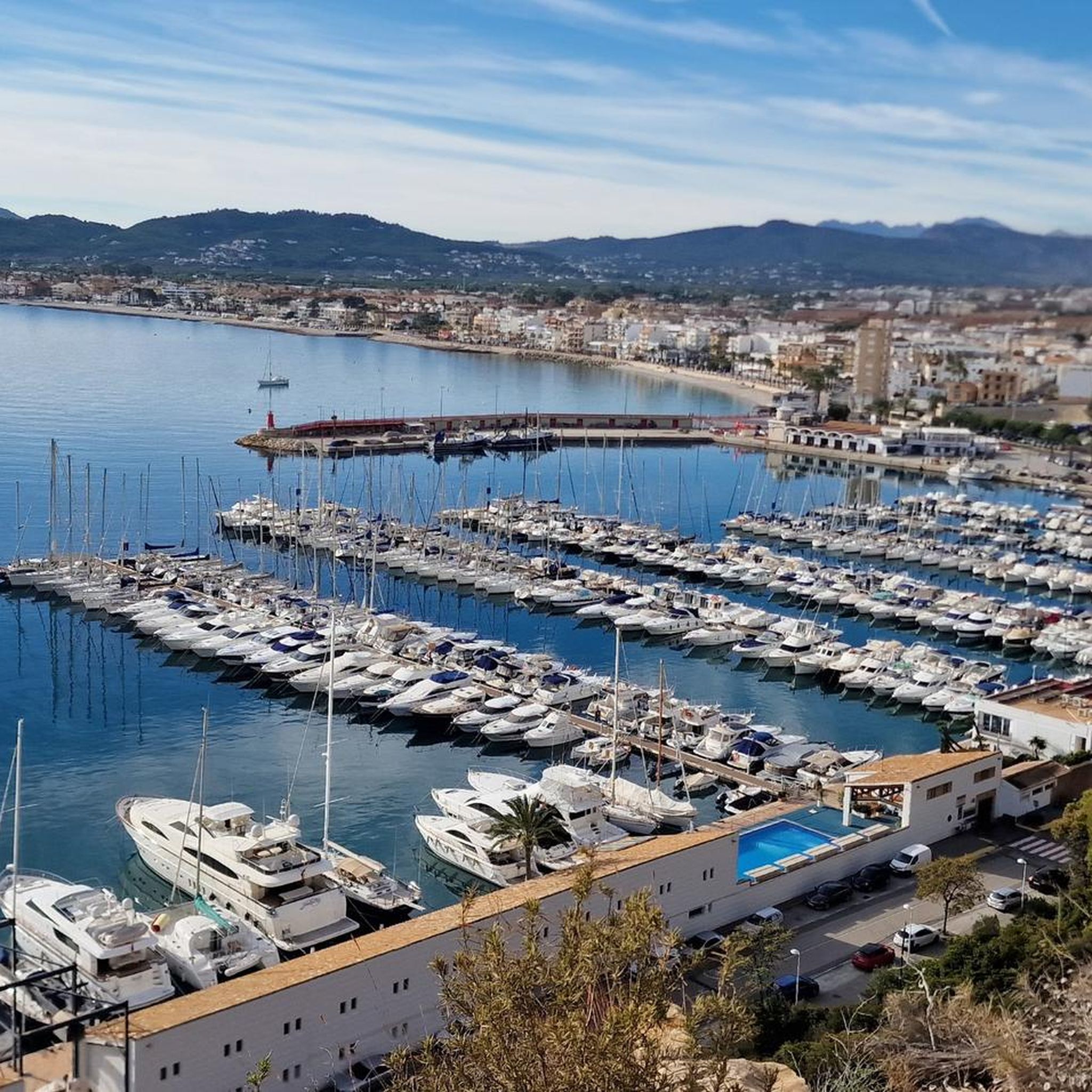
Running Trails in Reserva Natural Dels Fons Marins Del Cap De Sant Antoni
MTB Trails in Reserva Natural Dels Fons Marins Del Cap De Sant Antoni

Gravel biking in Reserva Natural Dels Fons Marins Del Cap De Sant Antoni
Tips from the Community

It is very beautiful but keep in mind that the summit is portrayed too rosily in the comments regarding difficulty. The summit is definitely red (= difficult). Which means you'll be scrambling for half an hour. Both half an hour up and down. Otherwise beautiful.
0
0

We do not recommend this path for the regular climber/hiker. We turned back halfway because it was too dangerous. Sharp rocks, a precipice and no marked path.
0
0

Cala Granadella is a beautiful, small cove on the Costa Blanca near Jávea (Xàbia). The cove, with its crystal-clear, turquoise waters, is surrounded by impressive cliffs and Mediterranean vegetation, offering a breathtaking natural backdrop. The beach is made of small pebbles rather than sand. It can get very crowded during peak season, so it's worth arriving early. Nearby are restaurants serving fresh seafood and Spanish specialties.
3
0

Good hiking boots with ankle protection, enough water. Small section where there is some climbing (easy)
2
1

Better enjoyed now in autumn than in summer because it is overcrowded then. Another option: hike to the watchtower ruins. Good view of the bay and the coast.
0
0

Very popular (and therefore busy in high season) bay. Outside the beach season there are far fewer bathers & cars and the beautiful descent and climb is absolutely worth it!
0
0
Suggest diving in any conditions, the water is crystal clear, but the beach is gravelly - be ready. On the summer weekends, it is crowded as hell, but there are a few restaurants, where you can eat and refill your bottles
0
1

Frequently Asked Questions
How many mountaineering routes can I explore in Reserva Natural Dels Fons Marins Del Cap De Sant Antoni?
There are 8 distinct mountaineering routes available in Reserva Natural Dels Fons Marins Del Cap De Sant Antoni, offering a range of experiences from moderate coastal paths to more challenging ascents within the Montgó Massif.
Are there any easy or moderate mountaineering routes suitable for beginners in the area?
Yes, the region offers several moderate routes. For example, the Cova Tallada loop from Rest. Mena is a moderate 4.6 km trail that takes about 1 hour 34 minutes, leading to the unique Cova Tallada sea cave. Another moderate option is the Montgó Trail – Montgó Scramble Section loop from Parc Natural del Montgó, which is 7.8 km long.
What are some of the more challenging mountaineering routes in Reserva Natural Dels Fons Marins Del Cap De Sant Antoni?
For those seeking a challenge, the Montgó Scramble Section – Montgó Trail loop from Pedrera-Vessanes is a difficult 16.6 km trail through the rugged Montgó Massif, typically taking over 6 hours to complete. Another difficult option is the Cap Gros del Montgó – la Creueta de Dénia loop from Urbanización Los Lagos, which is 10.2 km with significant elevation gain.
What kind of natural attractions or landmarks can I expect to see along the routes?
The routes in this region are rich with natural beauty. You can explore the impressive 175-meter high cliffs, unique sea caves like Cova Tallada, and enjoy panoramic views from various points, including the Views from the Cape. The Coastal path to Cova Tallada and Torre del Gerro is also a notable highlight.
Are there any circular mountaineering routes in Reserva Natural Dels Fons Marins Del Cap De Sant Antoni?
Yes, several routes are designed as loops, allowing you to start and end at the same point. Examples include the Cova Tallada loop from Rest. Mena and the Montgó Trail – Montgó Scramble Section loop from Parc Natural del Montgó.
What do other mountaineers say about the routes in Reserva Natural Dels Fons Marins Del Cap De Sant Antoni?
The routes in this area are highly rated by the komoot community, with an average score of 4.4 stars from over 25 reviews. Mountaineers often praise the dramatic coastal scenery, the challenging terrain of the Montgó Massif, and the unique geological formations like the Cova Tallada.
Is it possible to combine mountaineering with other outdoor activities in this region?
Absolutely. Beyond mountaineering, the Reserva Natural Dels Fons Marins Del Cap De Sant Antoni and its surroundings offer opportunities for birdwatching, regulated scuba diving, snorkeling, and kayaking, allowing you to experience both the terrestrial and marine wonders of this protected area.
What is the best time of year to go mountaineering in Reserva Natural Dels Fons Marins Del Cap De Sant Antoni?
The spring and autumn months are generally ideal for mountaineering in this region. The weather is milder, avoiding the intense heat of summer and the cooler, potentially wetter conditions of winter. This allows for more comfortable exploration of the cliffs and trails.
Are there any viewpoints offering panoramic vistas along the mountaineering routes?
Yes, the headland is dotted with numerous viewpoints. The area around the lighthouse, which is set to become an interpretation center, offers unparalleled vistas of the Valencian Coast, the northern town of Denia, the Gulf of Valencia, and the bay of Jávea, rewarding the effort of reaching these elevated spots.
Are there any routes that connect to the larger Montgó Natural Park?
Yes, the Cap de Sant Antoni is an extension of the Montgó Massif and part of the larger Montgó Natural Park. Routes like the Montgó Trail – Montgó Scramble Section loop from Parc Natural del Montgó directly engage with the Montgó terrain, offering access to its 753-meter summit and spectacular views.
What are the typical distances and durations for mountaineering routes in this reserve?
Route distances vary, from shorter moderate trails like the 4.6 km Cova Tallada loop from Rest. Mena (approx. 1.5 hours) to longer, more difficult expeditions such as the 16.6 km Montgó Scramble Section – Montgó Trail loop from Pedrera-Vessanes, which can take over 6 hours.
Most popular routes in Reserva Natural Dels Fons Marins Del Cap De Sant Antoni
Most popular attractions in Reserva Natural Dels Fons Marins Del Cap De Sant Antoni

Get inspired with the komoot mobile app


Explore more
Browse the best Mountain Hikes & Routes in other regions.
