The best MTB trails in Δάσος Χειμάρρων Σελεμνού Και Χαράνδρου Αχαΐας (Επέκταση)
4.8
(4)
28
riders
9
rides
Mountain bike trails in Δάσος Χειμάρρων Σελεμνού Και Χαράνδρου Αχαΐας (Επέκταση) offer diverse terrain for cyclists. This region features rich forest environments, varied ground, and slopes suitable for mountain biking. Situated at the foothills of the Panachaikos mountain, it provides elevated views alongside its inland forest paths. The area is recognized as an "aesthetic forest" and part of the Natura 2000 network, highlighting its natural beauty and ecological significance.
Best mountain bike trails in Δάσος Χειμάρρων Σελεμνού Και Χαράνδρου Αχαΐας…
Last updated: July 2, 2026
3
riders
26.9km
02:03
660m
660m
Moderate mountain bike ride. Good fitness required. Suitable for all skill levels.
5.0
(1)
2
riders
Moderate mountain bike ride. Good fitness required. Suitable for all skill levels.

Sign up for free
5.0
(1)
7
riders
46.0km
04:12
1,420m
1,420m
Hard mountain bike ride. Very good fitness required. Suitable for all skill levels.
5
riders
58.7km
05:20
1,860m
1,860m
Hard mountain bike ride. Very good fitness required. Suitable for all skill levels.
4.5
(2)
4
riders
22.9km
02:04
750m
750m
Moderate mountain bike ride. Good fitness required. Suitable for all skill levels.
Get access to more routes and recommendations from other explorers.
Sign up for free
Already have an account?
Our route recommendations are based on thousands of hikes, rides, and runs completed by other people on komoot.
Start today with a free account
Your next adventure awaits.
Login or Signup
Popular around Δάσος Χειμάρρων Σελεμνού Και Χαράνδρου Αχαΐας (Επέκταση)
Tips from the Community

The mural is titled "Mesogeios" (Mediterranean Sea) and was created by Kleomenis Kostopoulos (also known by the pseudonym KLE), the artistic director of Art In Progress. The mural was created in 2019 on the occasion of the II Mediterranean Beach Games, which took place in Patras that year. The work is rich in symbols representing the Mediterranean Sea and the region. It features a female figure with a dove, a sea turtle, a seal, a map of the Mediterranean Sea, and a brain floating above the scene.
2
0
This astronomical instrument stands in Psila Alonia Square (Πλατεία Ψηλά Αλώνια). The inscription on the front, "ΠΙΝΑΚΑΣ ΔΙΟΡΘΩΣΕΩΝ ΣΕ ΛΕΠΤΑ ΩΡΑΣ" (Correction Table in Minutes of Time), provides correction values for various months and days. Since sundials display true solar time, which deviates slightly from uniform mechanical time (equation of time) throughout the year, these tables help calculate the exact standard time. It is a horizontal sundial with a triangular metal gnomon whose shadow indicates the time on the top.
1
0

Displays the time according to the position of the sun
0
2

A sun dial not just for rough time display or decoration: this is a solar time precision instrument in the tradition of the ancient scientists, with deviation info by month on the bottom foundation, providing info even for the night hours ;-) ...
3
0
Frequently Asked Questions
How many mountain bike trails are there in Δάσος Χειμάρρων Σελεμνού Και Χαράνδρου Αχαΐας (Επέκταση)?
There are over 10 mountain bike trails available in Δάσος Χειμάρρων Σελεμνού Και Χαράνδρου Αχαΐας (Επέκταση), offering a range of experiences for different skill levels.
What kind of terrain can I expect on the mountain bike trails in this region?
The region offers a diverse landscape with varied terrain, including rich forest environments and slopes suitable for mountain biking. You'll encounter both asphalt and dirt sections, providing a mix of riding experiences. The trails also offer elevated views from the foothills of the Panachaikos mountain.
Are there mountain bike trails suitable for beginners in Δάσος Χειμάρρων Σελεμνού Και Χαράνδρου Αχαΐας (Επέκταση)?
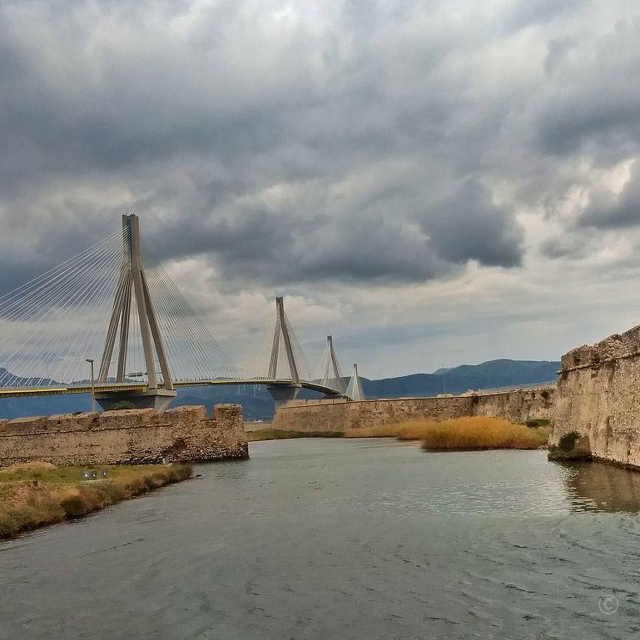
While there are no trails specifically rated as 'easy' in our current selection, there are several moderate routes that might be suitable for riders with some experience. For example, the Rio–Antirrio Bridge loop from Άγιος Βασίλειος is a moderate 26.9 km path offering scenic views.
Can I find challenging mountain bike routes in Δάσος Χειμάρρων Σελεμνού Και Χαράνδρου Αχαΐας (Επέκταση)?
Yes, the region features several difficult mountain bike routes for experienced riders. A notable challenging trail is the Sanatorium Zastovas – Solar Clock loop from Άγιος Ανδρέας, which is 46.0 km long and involves significant elevation gain through varied landscapes.
What is the best time of year to go mountain biking in Δάσος Χειμάρρων Σελεμνού Και Χαράνδρου Αχαΐας (Επέκταση)?
The forest is open 24/7, seven days a week, and can be visited all year round. However, for mountain biking, spring and autumn generally offer the most pleasant weather conditions, avoiding the peak heat of summer and potential winter rain.
Are there any loop mountain bike trails available in the area?
Yes, many of the mountain bike trails in Δάσος Χειμάρρων Σελεμνού Και Χαράνδρου Αχαΐας (Επέκταση) are designed as loops. Examples include the Panagia Vlahernon Church loop from Παναχαϊκή and the 45 – Viewpoint Near Aigio loop from Psathopyrgos.
What landmarks or points of interest can I see along the mountain bike trails?
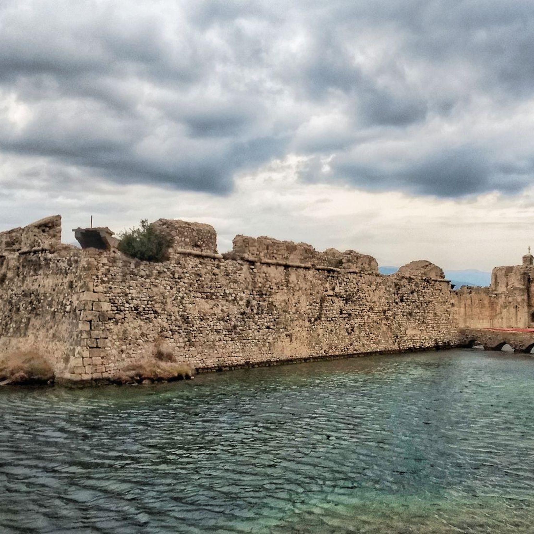
The region offers both natural beauty and historical points. You can enjoy the rich forest environment, impressive torrents, and elevated views from the foothills of the Panachaikos mountain. Historically, the area is close to monuments like the Rio Castle, and some routes, such as the Panagia Vlahernon Church loop from Παναχαϊκή, pass by significant churches.
Is Δάσος Χειμάρρων Σελεμνού Και Χαράνδρου Αχαΐας (Επέκταση) suitable for family mountain biking?
The region offers a variety of trails, including moderate options. While there are no easy trails specifically for very young children, families with older children who have some mountain biking experience might enjoy the moderate routes. Always check the specific trail's difficulty and length before heading out.
What do other mountain bikers enjoy most about mountain biking in Δάσος Χειμάρρων Σελεμνού Και Χαράνδρου Αχαΐας (Επέκταση)?
The area is highly rated by the komoot community, with an average score of 4.8 stars. Reviewers often praise the diverse terrain, the rich forest environments, and the elevated views from the Panachaikos mountain foothills, which provide a rewarding and varied riding experience.
Are dogs allowed on the mountain bike trails?
The region is a natural forest environment, and generally, dogs are permitted on trails, especially if kept under control. However, as parts of the forest are designated as a Natura 2000 site and an 'aesthetic forest' for the protection of fauna and flora, it's always best to keep dogs on a leash to protect wildlife and ensure a pleasant experience for all visitors.
Are there any specific viewpoints along the mountain bike trails?
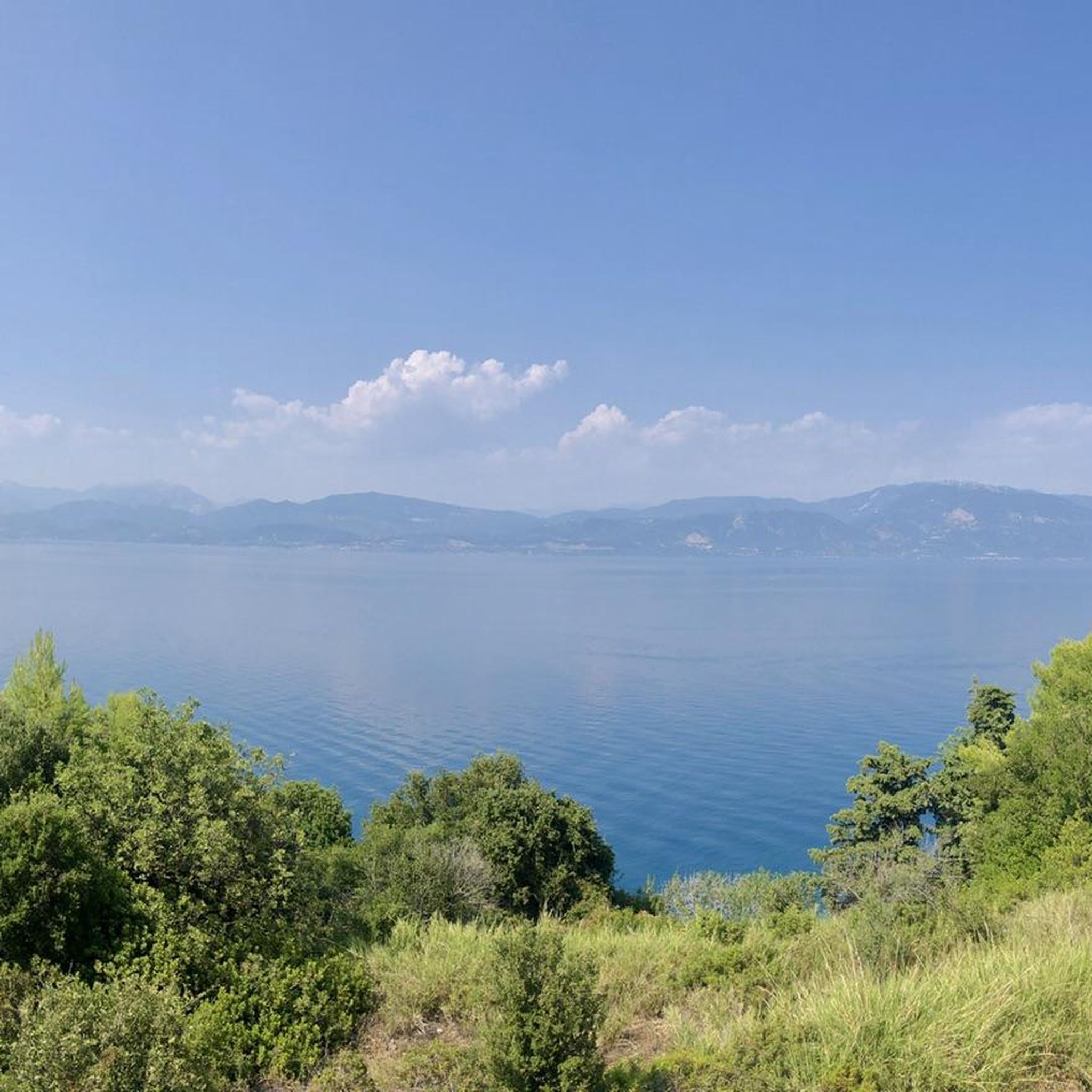
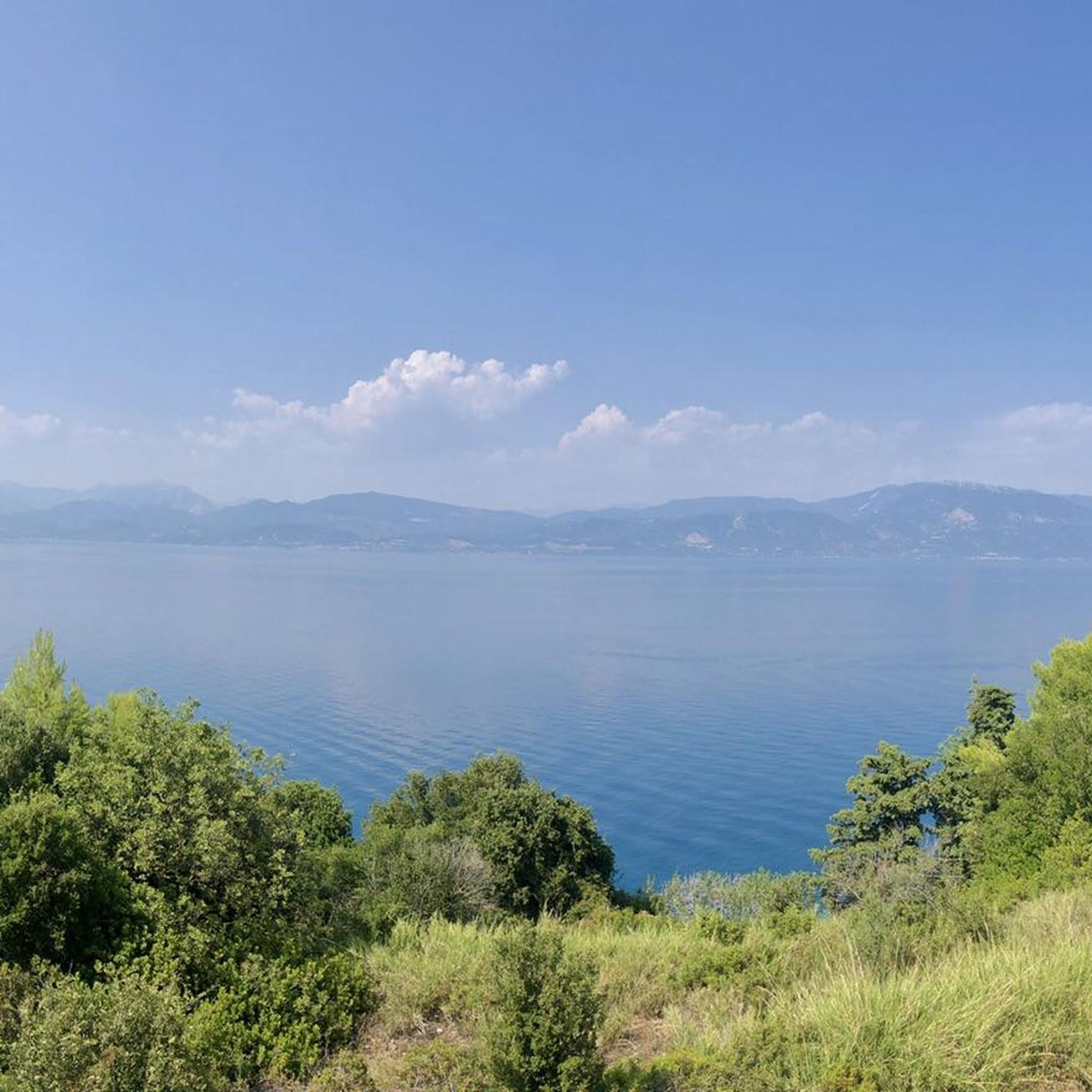
Yes, being situated at the foothills of the Panachaikos mountain, many trails offer elevated views of the surrounding area. The 45 – Viewpoint Near Aigio loop from Psathopyrgos explicitly highlights a viewpoint, and the Rio–Antirrio Bridge loop from Άγιος Βασίλειος provides views of the iconic bridge.
What is the longest mountain bike trail in this guide?
The longest mountain bike trail featured in this guide is the Solar Clock – Sanatorium Zastovas loop from Άγιος Ανδρέας, spanning 58.8 km. This is a difficult route with significant elevation gain.
Most popular routes in Δάσος Χειμάρρων Σελεμνού Και Χαράνδρου Αχαΐας (Επέκταση)

Get inspired with the komoot mobile app


Explore more
Browse the best MTB trails in other regions.
