The best road cycling routes around Hohentannen
4.5
(210)
3,109
riders
145
rides
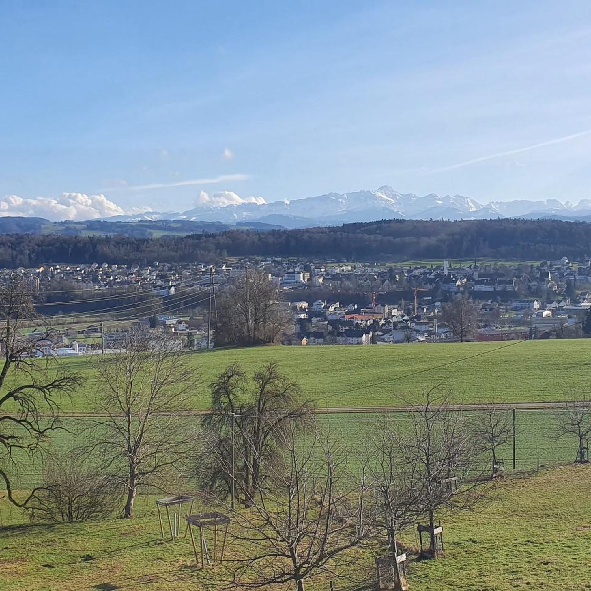
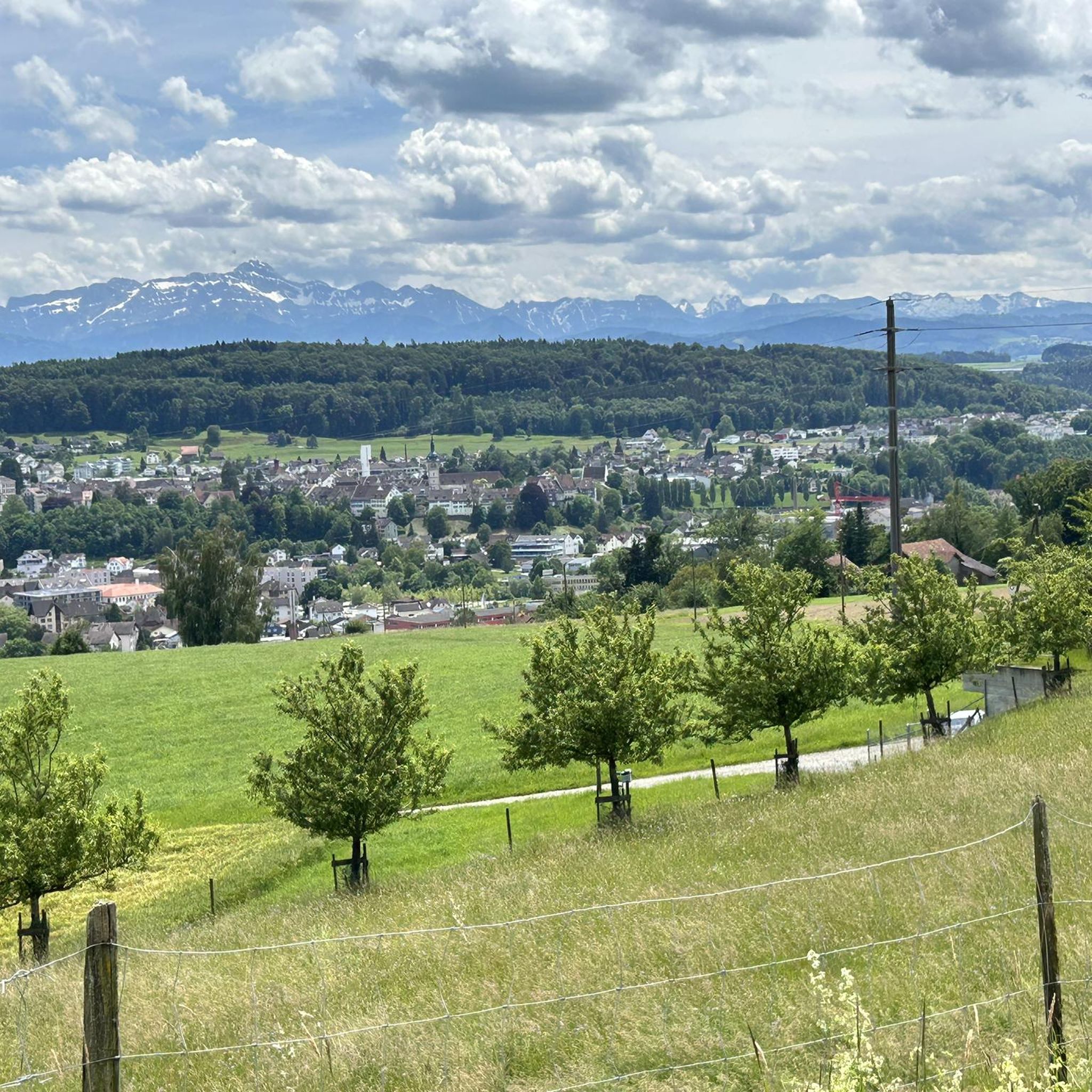
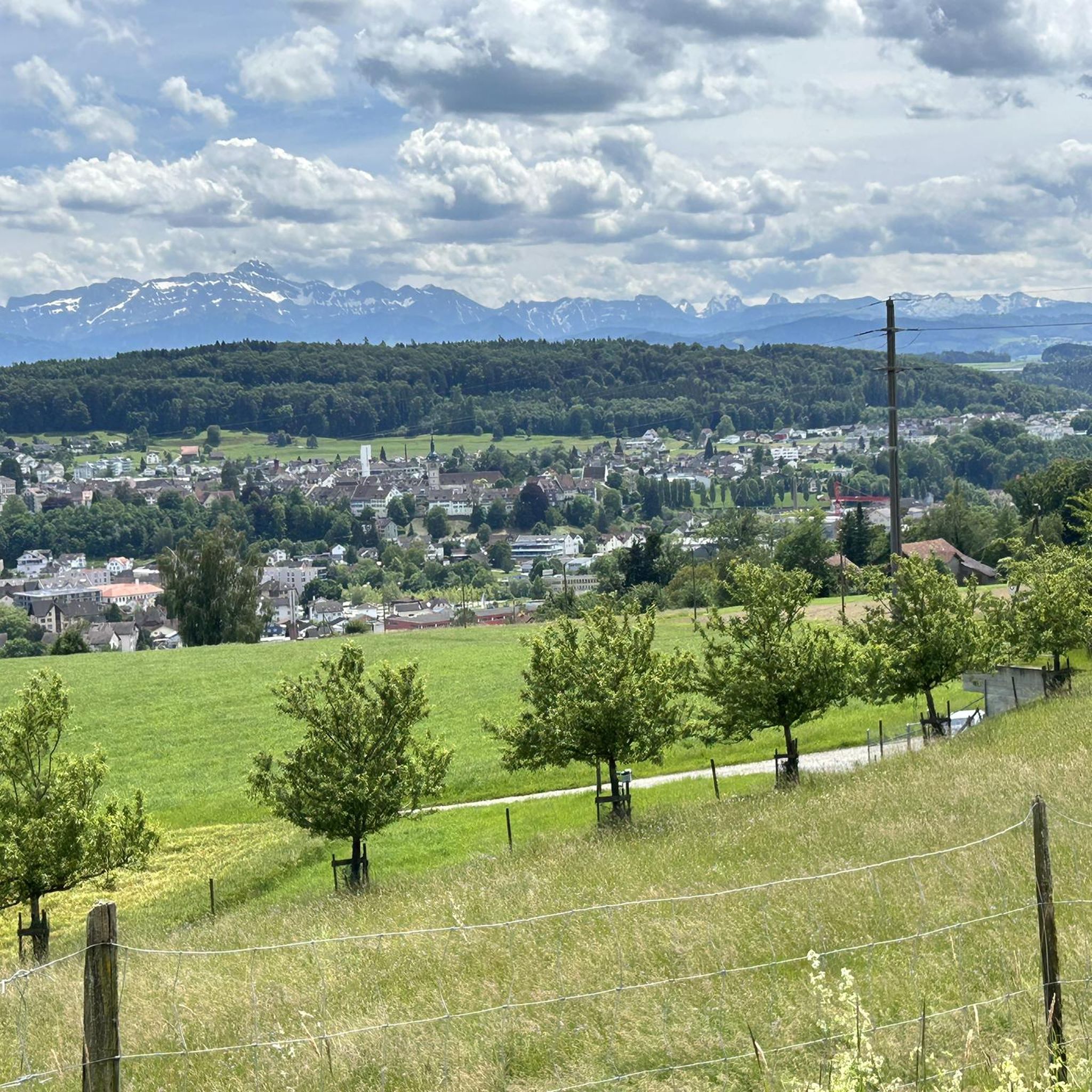
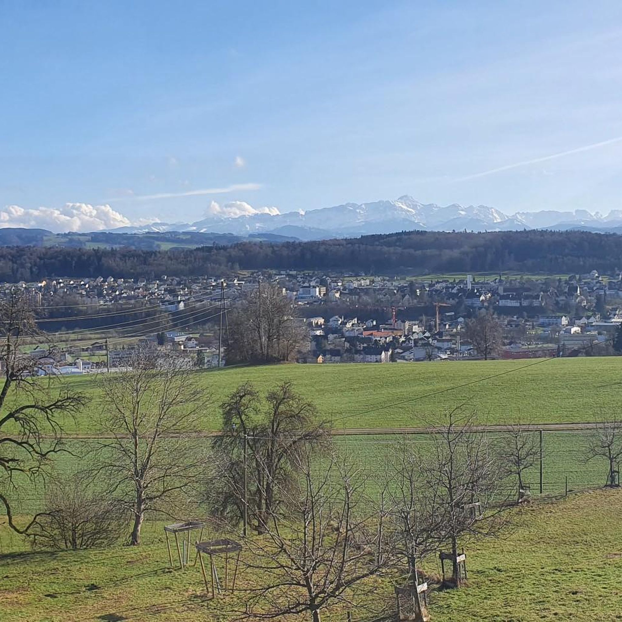
Road cycling routes around Hohentannen traverse a rural landscape characterized by gentle hills, expansive fields, and forests. Situated on a high plateau, the region offers varied elevations between 452 and 589 meters above sea level, providing a mix of flat sections and manageable ascents. Well-maintained roads wind through agricultural land and wooded areas, offering diverse and visually appealing routes. Cyclists can experience panoramic views towards the Alpstein area and the Thurtal valley.
Best road cycling routes around Hohentannen
- The most…
Last updated: July 8, 2026
5.0
(2)
53
riders
45.8km
02:15
480m
480m
Moderate road ride. Good fitness required. Some segments of this route may be unpaved and difficult to ride.
4.0
(1)
33
riders
58.9km
02:47
690m
690m
Moderate road ride. Good fitness required. Mostly well-paved surfaces and easy to ride.

Sign up for free
5.0
(4)
27
riders
50.8km
02:30
530m
530m
Moderate road ride. Good fitness required. Mostly well-paved surfaces and easy to ride.
8
riders
50.7km
02:09
250m
250m
Moderate road ride. Good fitness required. Mostly well-paved surfaces and easy to ride.
11
riders
27.1km
01:19
220m
220m
Easy road ride. Great for any fitness level. Mostly well-paved surfaces and easy to ride.
Get access to more routes and recommendations from other explorers.
Sign up for free
Already have an account?
Our route recommendations are based on thousands of hikes, rides, and runs completed by other people on komoot.
Start today with a free account
Your next adventure awaits.
Login or Signup
Tips from the Community

Worth-seeing museum and a Möhl juice is always good.
0
0

Very beautiful view of the entire Lake Constance
0
0

Here, the juice-making craft is hands-on, experienced, and enjoyed. At the end of the tour, there's a tasting, where you'll immediately realize "the fascinating world of apples tastes so incomparably good."
0
0

Of course, you can also ride past a castle on a mountain bike.
1
0
Small farm shop with various products, including farm ice cream, which is always good on a tour.
1
0

Beautiful landscape, you enjoy every moment :)
0
0

Rorschach Hafen station is a railway station in Rorschach in the Swiss canton of St. Gallen. It is located on the Swiss Federal Railways' Lake Line. It is adjacent to a ferry port with connections to Lindau and Wasserburg am Bodensee across Lake Constance.
1
0
From Wil to Henau at top speed:)
1
0
Frequently Asked Questions
How many road cycling routes are available around Hohentannen?
There are over 150 road cycling routes available around Hohentannen. These routes traverse a diverse landscape of gentle hills, expansive fields, and forests, offering options for various fitness levels.
What kind of terrain can I expect when road cycling in Hohentannen?
The terrain around Hohentannen is characterized by gently undulating landscapes, with elevations ranging between approximately 452 and 589 meters above sea level. This provides a mix of flat sections and manageable ascents, making for varied and engaging rides. The roads are mostly well-paved, winding through agricultural land and wooded areas.
Are there routes suitable for beginners or those seeking an easier ride?
Yes, Hohentannen offers a good selection of routes suitable for beginners. Out of over 150 routes, 43 are classified as easy, providing accessible options for those looking for a more relaxed cycling experience through the idyllic rural area.
What are some challenging road cycling routes in the Hohentannen area?
For experienced cyclists seeking a challenge, there are 14 difficult routes around Hohentannen. One such demanding option is the Trogen Town Square – St. Anton Viewpoint loop from Sitterdorf, which covers over 70 km with significant elevation gain, requiring very good fitness.
Can I find routes with scenic viewpoints or natural attractions?
Absolutely. Many routes offer dreamlike views towards the majestic Alpstein area and the picturesque Thurtal valley. You can also find natural attractions like Hauptwil Pond, which can be integrated into your ride for a scenic break.
Are there historical or cultural sites I can visit along the cycling routes?
Yes, the region is rich in historical and cultural sites. Cyclists can visit the nearly 800-year-old Hagenwil Moated Castle, which also features an excellent restaurant. The nearby baroque old town of Bischofszell, with its historic town hall and the 14th-century Church of St. Pelagius, is also within cycling distance.
Are there any waterfalls near the road cycling routes?
While road cycling routes primarily focus on paved roads, there are natural highlights in the broader Hohentannen area that include waterfalls. For example, you can find the Waterfall and Pond Near Liebburg or a Waterfall (with picnic area), which might be accessible via short detours or combined with other activities.
What is the best time of year for road cycling in Hohentannen?
The region's pleasant climate makes spring through autumn ideal for road cycling. During these seasons, you can fully enjoy the well-maintained roads and panoramic views without the challenges of winter conditions. The rural landscape is particularly beautiful with expansive fields and forests.
Where can I find parking for road cycling routes in Hohentannen?
While specific parking areas for each route are not detailed, Hohentannen and its surrounding municipalities like Sitterdorf and Kradolf, which serve as starting points for many routes, typically offer public parking facilities. It's advisable to check local parking options in these towns when planning your ride.
Are there loop routes available for road cyclists?
Yes, many road cycling routes around Hohentannen are designed as loops, allowing you to start and end at the same point. Examples include the View of Säntis – Bussnang Viaduct loop from Kradolf or the Scenic Road in Thurgau – Covered wooden bridge Thur loop from Kradolf.
What do other cyclists say about road cycling in Hohentannen?
The road cycling routes around Hohentannen are highly rated by the komoot community, with an average score of 4.6 stars from over 190 reviews. Cyclists often praise the region's idyllic, quiet, rural character, well-paved surfaces, and the dreamlike views towards the Alpstein area and the Thurtal.
Are there places to stop for refreshments or a meal along the routes?
Yes, the region offers several opportunities for refreshments. The Hagenwil Moated Castle, for instance, houses an excellent restaurant serving Thurgau delicacies. Additionally, the baroque old town of Bischofszell, a common stop on many routes, provides various cafes and eateries.
Most popular routes around Hohentannen
Most popular attractions around Hohentannen

Get inspired with the komoot mobile app


Explore more
Browse the best Road cycling routes in other regions.
