The best cycling routes in Piani Di Annifo - Arvello
4.6
(11)
241
riders
44
rides
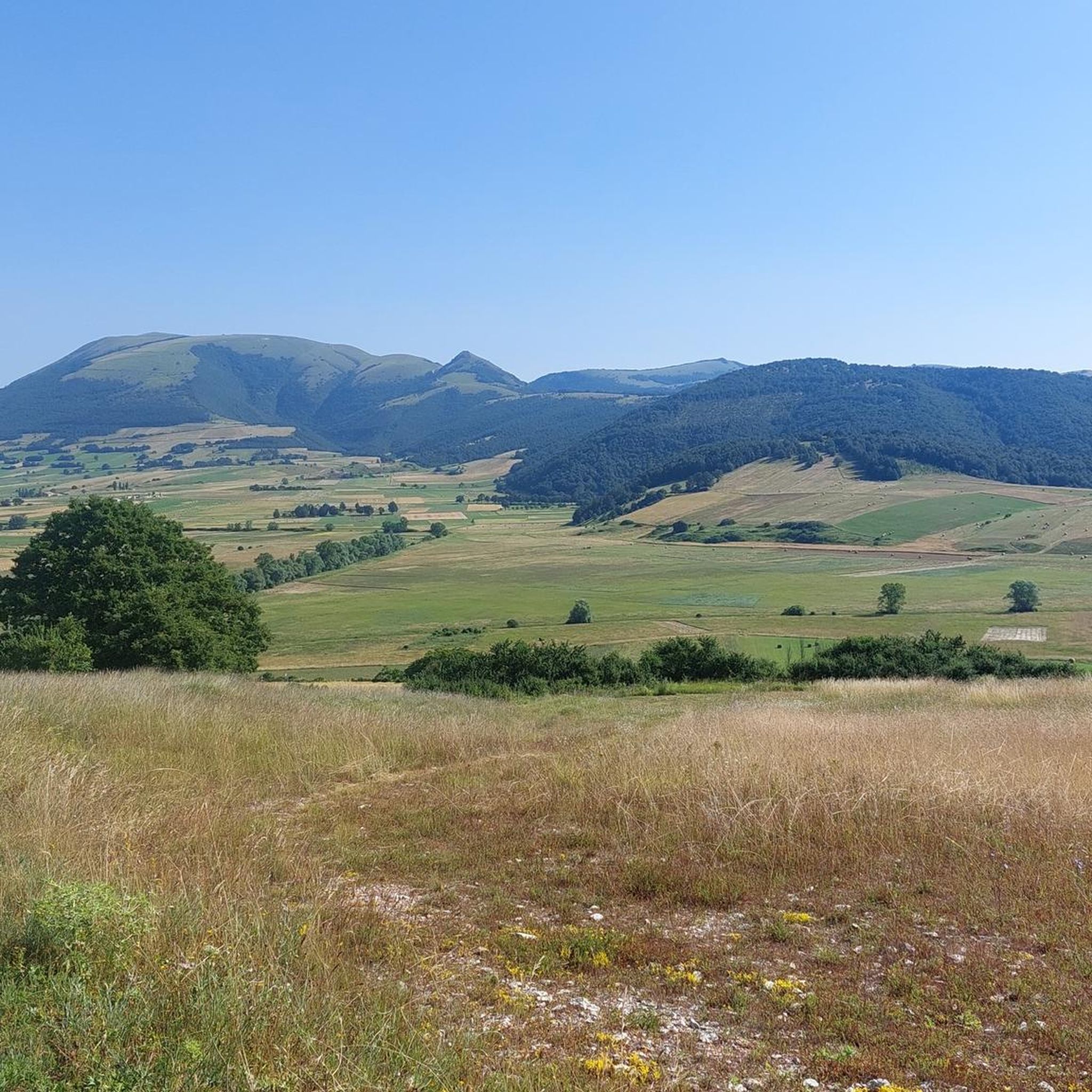
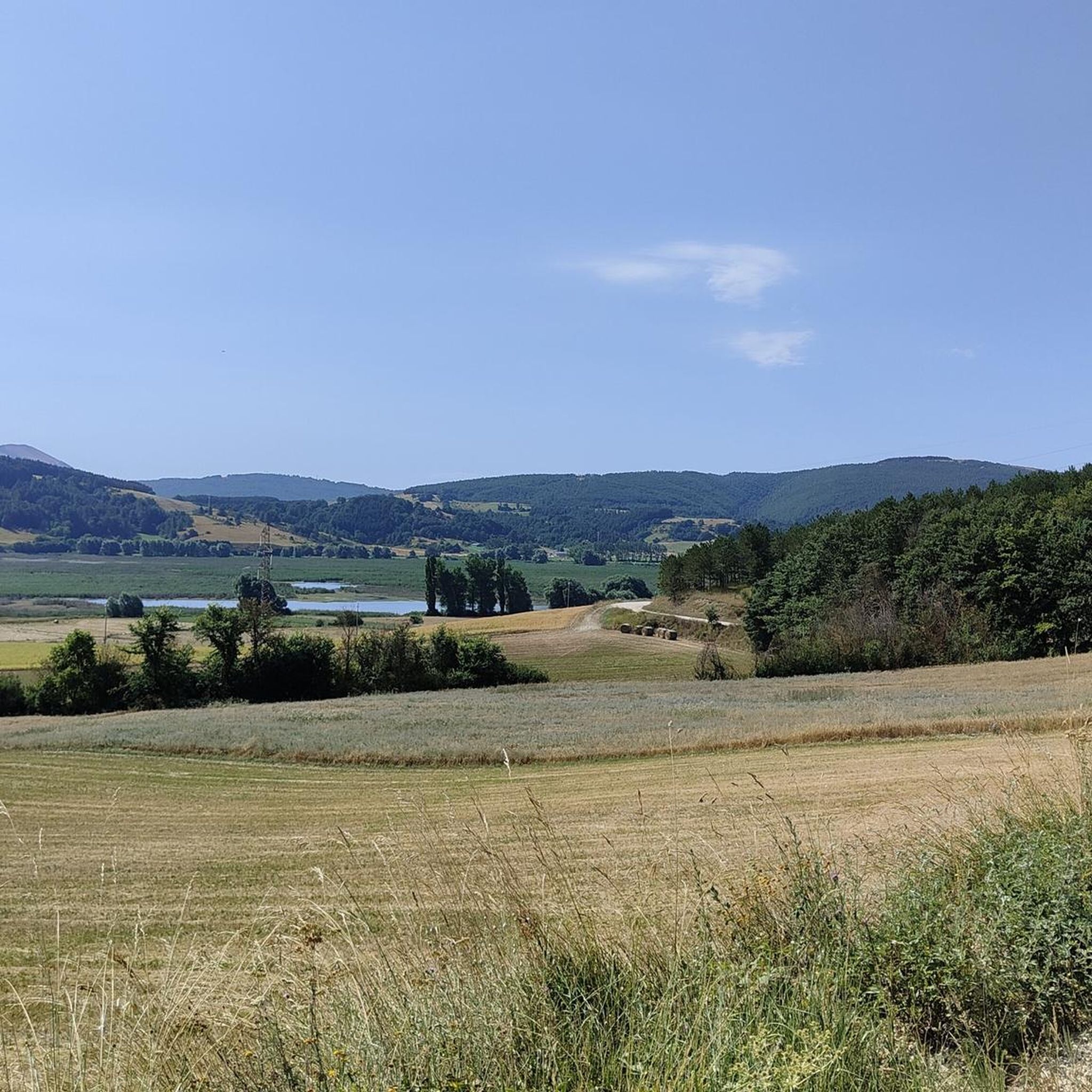
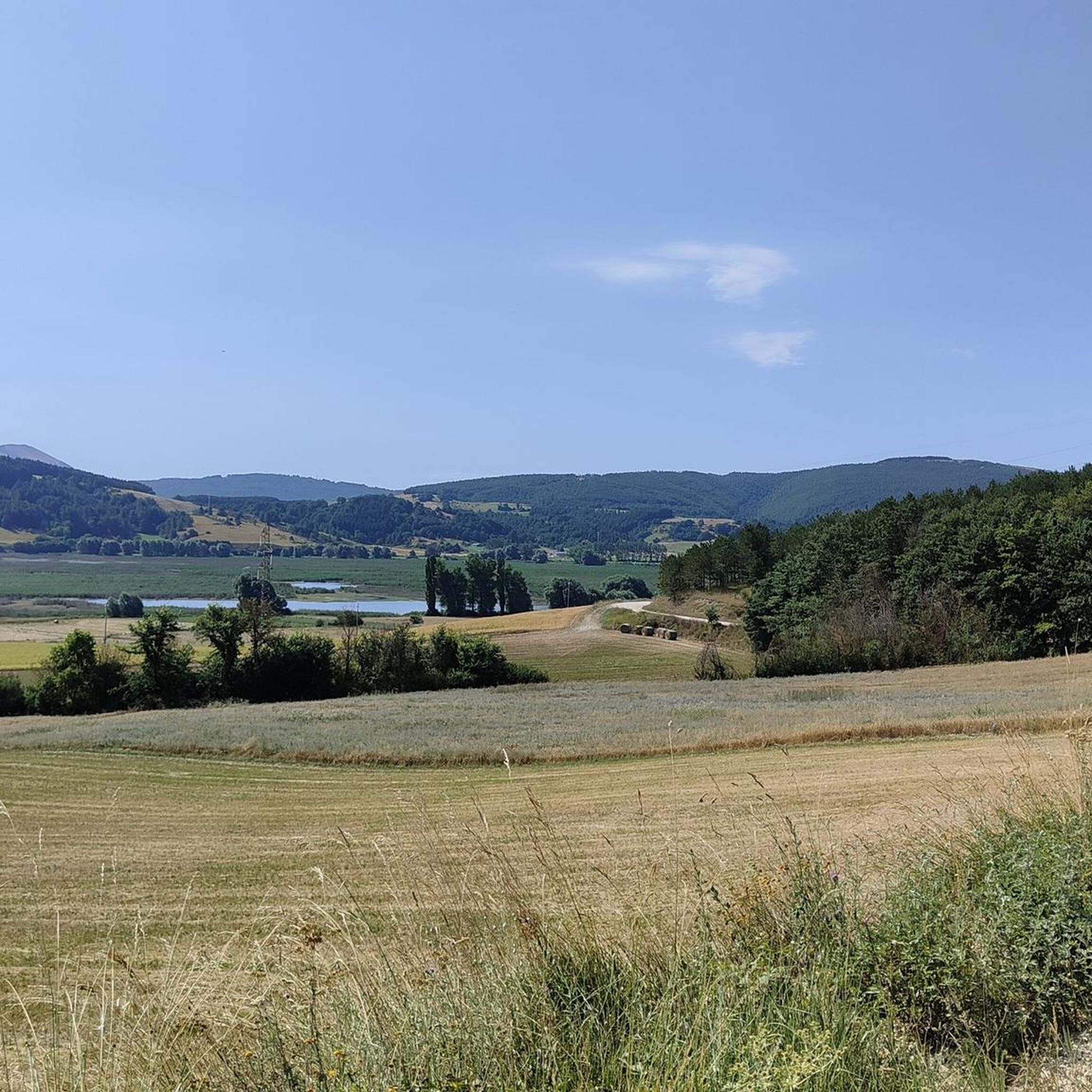
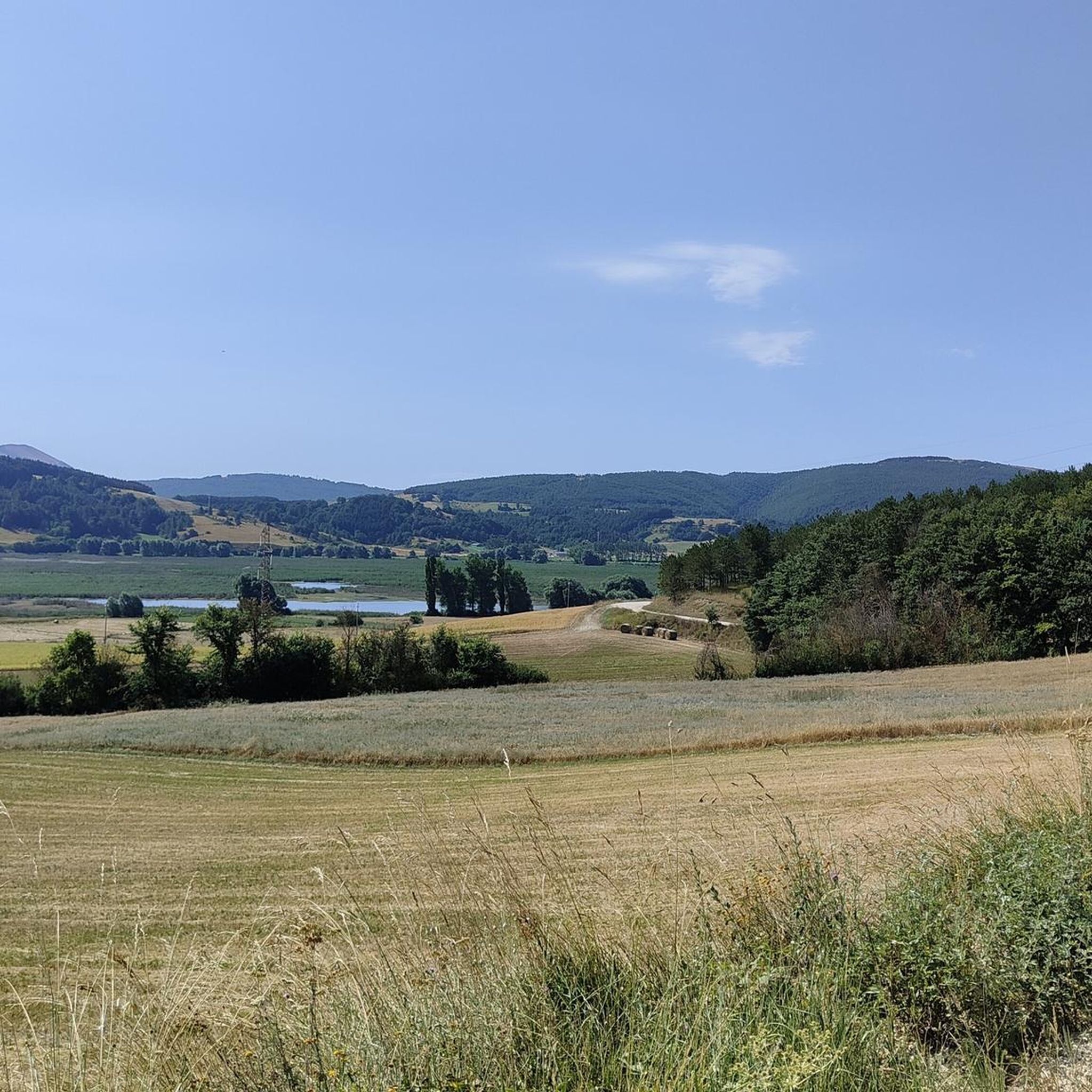
Touring cycling routes in Piani Di Annifo - Arvello traverse a diverse landscape within the Umbro-Marchigiano Apennines. The region features a striking interplay of mountains and expansive plains, including a unique karst plain that transforms seasonally. The terrain encompasses wet meadows, agricultural fields, and surrounding hills covered in holm oak forests and pastures. A significant natural feature is the Colfiorito Marsh, recognized as one of central Italy's best-preserved wetlands.
Best touring cycling routes in Piani Di Annifo - Arvello
- The…
Last updated: July 8, 2026
16
riders
51.8km
03:41
570m
570m
Hard bike ride. Very good fitness required. Mostly paved surfaces. Suitable for all skill levels.
16
riders
64.8km
05:09
1,050m
1,050m
Hard bike ride. Very good fitness required. Mostly paved surfaces. Suitable for all skill levels.

Sign up for free
5.0
(1)
14
riders
27.0km
02:42
860m
860m
Hard bike ride. Very good fitness required. Mostly paved surfaces. Suitable for all skill levels.
9
riders
29.8km
02:22
600m
600m
Hard bike ride. Very good fitness required. Mostly paved surfaces. Suitable for all skill levels.
4.3
(3)
5
riders
11.7km
00:40
40m
40m
Easy bike ride. Great for any fitness level. Mostly paved surfaces. Suitable for all skill levels.
Get access to more routes and recommendations from other explorers.
Sign up for free
Already have an account?
Our route recommendations are based on thousands of hikes, rides, and runs completed by other people on komoot.
Start today with a free account
Your next adventure awaits.
Login or Signup

Tips from the Community


A WONDERFUL SMALL VILLAGE THAT WILL LEAVE YOU OPEN-MOUTHED
0
0

RASIGLIA is a micro village crossed by streams and canals. It can be visited in a few minutes, but it is worth the detour. A bit chaotic to walk there during the weekends, because it is packed with tourists.
0
0

Fantastic Colfiorito pass, the old road with almost no cars.
0
0

Rasiglia, or the little Venice. Along the Menotre valley, reachable with a challenging but not prohibitive climb, the well-maintained road, deserves a passage and a refreshing stop. Excellent local beer! 😉
0
0

colfiorito cesi fematre forcella riofreddo.. the most beautiful place in the Marche
0
0
Frequently Asked Questions
How many touring cycling routes are available in Piani Di Annifo - Arvello?
There are over 40 touring cycling routes in Piani Di Annifo - Arvello documented on komoot. These routes traverse a diverse landscape, offering options for various skill levels.
What is the best time of year to go touring cycling in Piani Di Annifo - Arvello?
The late spring, generally between late May and July, is an exceptional time to visit. During this period, the plains burst into an "incredible flowering" with vibrant colors from poppies, cornflowers, daisies, and lentil crops, offering a truly picturesque backdrop for your ride.
What kind of terrain can I expect on touring cycling routes in Piani Di Annifo - Arvello?
The region features a striking interplay of mountains and expansive plains, including a unique karst plain. You'll cycle through wet meadows, agricultural fields, rows of oak trees, and surrounding hills adorned with holm oak forests and pastures. Some routes also feature significant elevation changes, characteristic of the Apennine landscape.
Are there any circular touring cycling routes in the area?
Yes, many routes in Piani Di Annifo - Arvello are designed as loops. For example, the Colfiorito Pass – Enchanted Plains loop from Colfiorito is a challenging 64.8 km route that takes you through scenic plains and offers extensive mountain views. Another option is the Enchanted Plains – Monte Pennino (1,572 m) loop from Colfiorito, a 28.4 km difficult ride.
What are some notable natural features or landmarks I might see while cycling?
You'll encounter the unique karst plain, which transforms seasonally, and a main sinkhole on the eastern part of the plain. The plains themselves are a mosaic of wet meadows and fields. The surrounding hills are covered in holm oak forests. Additionally, the nearby Colfiorito Marsh is a significant natural highlight. On the eastern fringes of Piano di Arvello, you can find an ancient Umbrian-era settlement between Forcatura and Monte Palarne, offering panoramic views.
What is the difficulty level of touring cycling routes in Piani Di Annifo - Arvello?
While there are some easy and moderate options, the majority of touring cycling routes in Piani Di Annifo - Arvello are classified as difficult. Out of 40 routes, 30 are considered difficult, often involving significant elevation gains. For instance, the Menotre River in Rasiglia – Castello di Popola loop from Colfiorito is a difficult 26.3 km route with over 870 meters of elevation gain.
What do other touring cyclists say about the routes in Piani Di Annifo - Arvello?
The routes in Piani Di Annifo - Arvello are highly rated by the komoot community, with an average score of 4.6 stars from more than 10 reviews. Cyclists often praise the diverse landscapes, from expansive plains to challenging mountain passes, and the opportunity to explore the unique natural and historical features of the region.
Are there any routes that pass by Colfiorito Lake or Colfiorito Pass?
Yes, several popular routes incorporate these features. The Colfiorito Lake – Colfiorito Pass loop from Colfiorito is a difficult 51.8 km trail offering views of the lake and the pass. Another option, also starting from Colfiorito, is a longer 77.6 km loop that also covers the Colfiorito Lake – Colfiorito Pass area.
Can I find routes suitable for a longer touring cycling trip?
Absolutely. The region offers routes of varying lengths. For a more extensive ride, consider the Colfiorito Lake – Colfiorito Pass loop from Colfiorito, which spans 77.6 km and typically takes around 6 hours to complete, allowing for a full day of exploration through the Apennine landscape.
Are there any historical sites to explore along the cycling routes?
Yes, beyond the natural beauty, the area holds historical interest. On the eastern fringes of Piano di Arvello, you can discover an ancient Umbrian-era settlement. The region also features historical religious sites like the church of San Mariano (now Santa Lucia) and the church of Madonna del Carmine (now Santa Maria Giacobbe), both with centuries of documented history.
What kind of natural environment defines the Piani Di Annifo - Arvello region for cyclists?
The region is part of the Umbro-Marchigiano Apennines, characterized by a striking interplay of mountains and expansive plains. Cyclists will experience a mosaic of wet meadows, agricultural fields, and rows of oak trees, with surrounding hills covered in holm oak forests and pastures. This diverse environment provides a rich and varied backdrop for touring cycling.
Most popular routes in Piani Di Annifo - Arvello

Get inspired with the komoot mobile app


Explore more
Browse the best Cycling routes in other regions.
