The best cycling routes in Riserva Naturale Vallombrosa
4.6
(718)
3,279
riders
76
rides
Touring cycling routes in Riserva Naturale Vallombrosa traverse a diverse landscape characterized by dense ancient forests of fir and beech, with lower elevations featuring chestnut, oak, maple, and hornbeam. The reserve spans altitudes from 470 to 1440 meters above sea level, providing varied terrain with both ascents and descents. Cyclists can expect well-maintained forest roads and paths, offering a dynamic experience through this natural area.
Best touring cycling routes in Riserva Naturale Vallombrosa
- The most popular touring cycling route is…
Last updated: October 15, 2026
4.6
(5)
30
riders
32.5km
02:38
950m
950m
This difficult 20.2-mile touring cycling loop from Tosi climbs 3121 feet through Tuscan olive groves and the ancient Vallombrosa Forest.
5.0
(1)
4
riders
27.0km
02:09
700m
690m
This difficult 16.8-mile (27.0 km) touring cycling loop through Valdisieve and Valdarno offers challenging climbs and scenic Tuscan landscap

4.8
(5)
37
riders
56.9km
04:13
1,240m
1,240m
Hard bike ride. Very good fitness required. Mostly paved surfaces. Suitable for all skill levels.
5.0
(2)
46
riders
38.3km
03:52
1,050m
1,050m
Hard bike ride. Very good fitness required. You may need to push your bike for some segments of this route.
5.0
(3)
35
riders
37.7km
02:56
1,010m
1,010m
Hard bike ride. Very good fitness required. Mostly paved surfaces. Suitable for all skill levels.
Get access to more routes and recommendations from other explorers.
Already have an account?
Our route recommendations are based on thousands of hikes, rides, and runs completed by other people on komoot.
Start today with a free account
Your next adventure awaits.

Tips from the Community

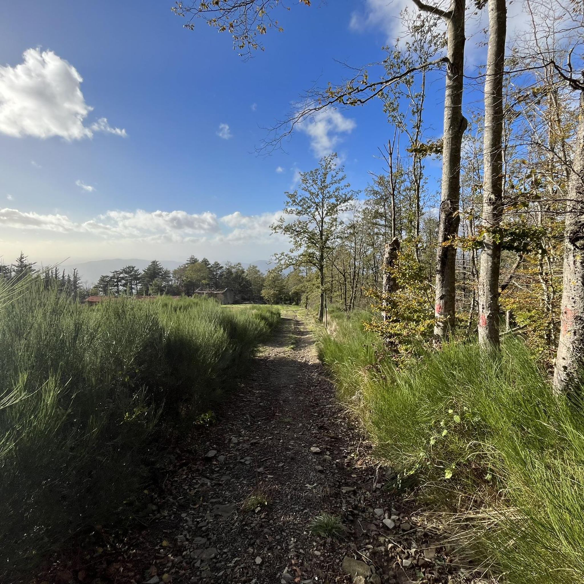
Dilapidated and abandoned structure. A shame because it would be a place for the area's hospitality and culture.
0
0

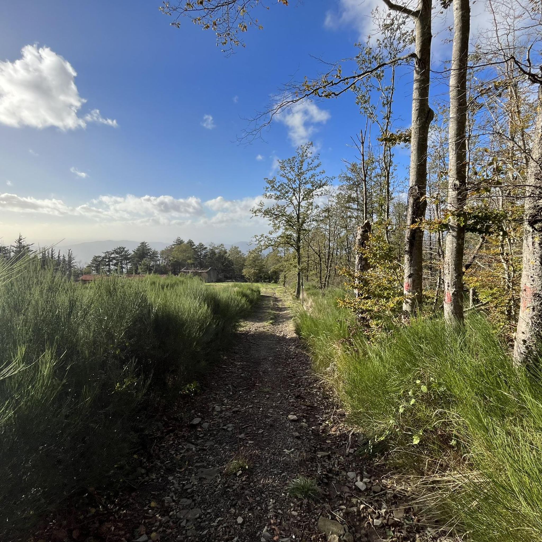
The olive groves and rural landscapes of Reggello, located between the Arno valley and Pratomagno, are famous for the production of high-quality extra virgin olive oil. The territory offers a unique mix of cultivated terraces and ancient woods, combining nature, historic villages, and food and wine.
0
0

Mount Secchieta lies between the municipalities of Reggello and Montemignaio. The peak, approximately 1,500 meters above sea level, is part of the Pratomagno ridge and separates the Casentino valley from the Upper Valdarno valley. There is a refuge there, which can also be reached by a paved road.
0
0

Rifugio Secchieta, with its cyclist museum featuring many interesting jerseys. The sandwiches are excellent, and the view is beautiful.
0
0
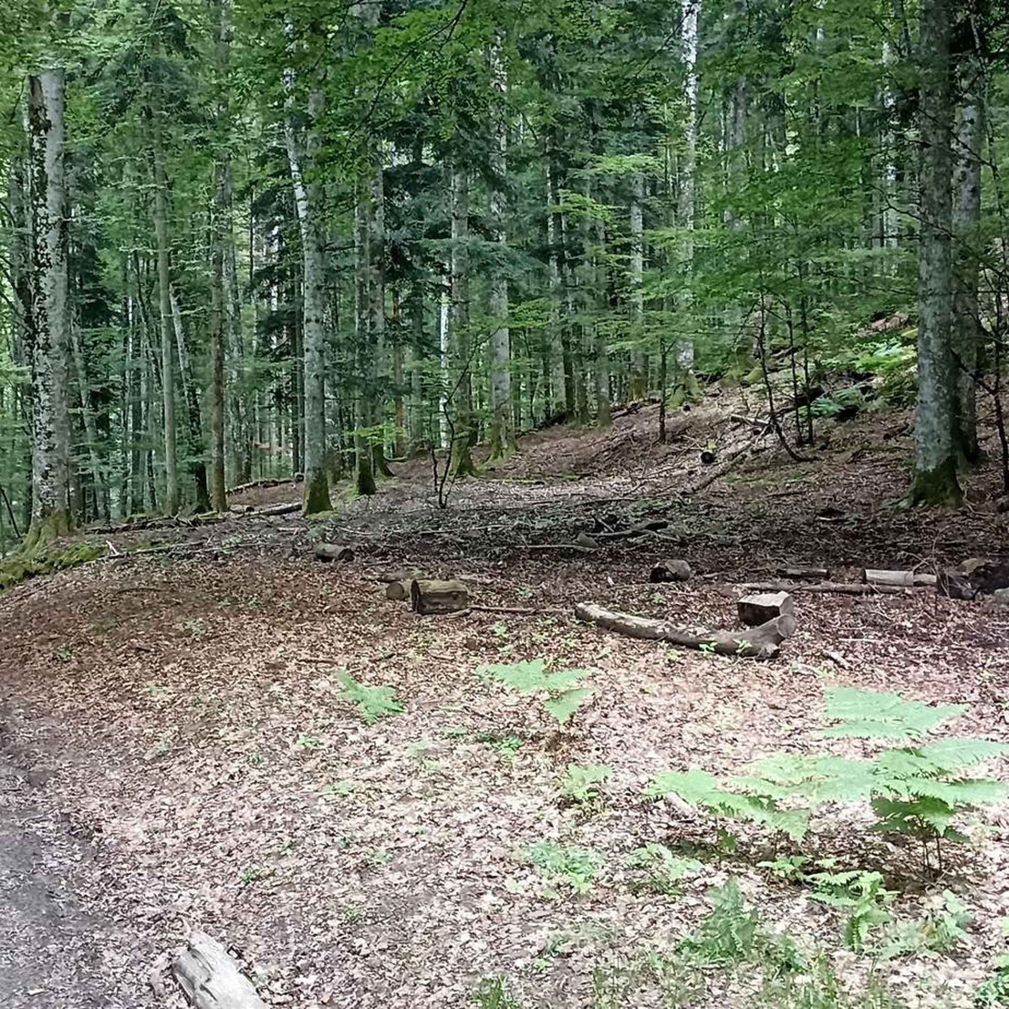
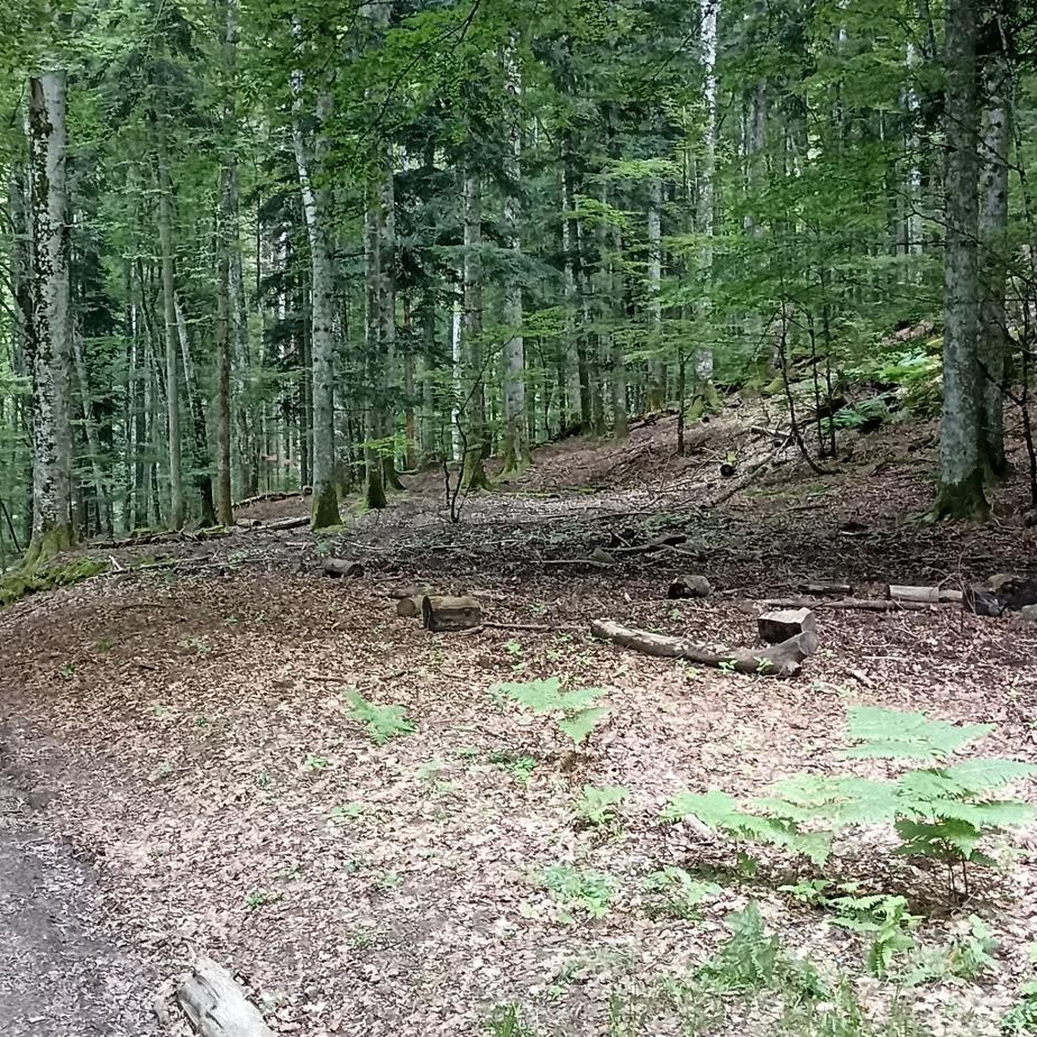
It covers an area of 1,273 hectares in the Metropolitan City of Florence on the western slope of the Pratomagno massif, specifically in the Municipality of Reggello. It extends from the town of Tosi, 470 meters above sea level, to Mount Secchieta, 1,440 meters above sea level.
0
0
Unfortunately, we encountered fog and couldn't admire the view of the Valdarno, where we might have even spotted Florence. However, this way it's even more evocative as it feels like we're suspended in mid-air.
0
0

Frequently Asked Questions
How many touring cycling routes are available in Riserva Naturale Vallombrosa?
There are over 80 touring cycling routes available in Riserva Naturale Vallombrosa. These routes traverse diverse landscapes, from dense ancient forests to varied altitudes, providing a wide range of experiences for touring cyclists.
Are there any easy touring cycling routes for beginners or families?
While Riserva Naturale Vallombrosa is known for its varied terrain, including significant ascents and descents, there is at least one easy touring cycling route available. The majority of routes are rated moderate to difficult, so beginners should look for routes specifically marked as easy or with minimal elevation changes. Always check the route details before heading out.
What kind of terrain can I expect on touring cycling routes in Riserva Naturale Vallombrosa?
The terrain in Riserva Naturale Vallombrosa is diverse, ranging from 470 to 1440 meters above sea level. You can expect well-maintained forest roads and paths winding through dense ancient forests of fir and beech, with chestnut, oak, maple, and hornbeam at lower elevations. The varied altitudes mean routes often feature both challenging ascents and rewarding descents.
What are some notable natural attractions or viewpoints along the routes?
The reserve is home to impressive natural features. You can cycle past 'The Giants of Italy,' monumental Douglas firs, including the tallest tree in Italy. The historic Faggio Santo (Sacred Beech Tree) is another highlight. From the Pratomagno massif, you can enjoy 360-degree panoramic views of the Casentino and Valdarno Superiore valleys. The Douglas Fir Giants of Vallombrosa are also a must-see.
Are there any historical or cultural landmarks to visit while cycling?
Yes, the imposing Vallombrosa Abbey, founded in 1036, is a central point of interest within the forest. Its Romanesque church and 15th-century kitchen offer a glimpse into the area's monastic history. The route Vallombrosa Abbey – Consuma Pass loop from Vallombrosa specifically leads past this historic site.
What is the best time of year for touring cycling in Riserva Naturale Vallombrosa?
The abundant tree cover, which gives Vallombrosa its name ('shady valley'), provides a refreshing environment, making it pleasant for cycling during warmer months. The dense forests are particularly beautiful in spring and autumn with changing foliage. While specific winter routes are not detailed, the varied altitudes mean conditions can change, so checking local weather is always recommended.
What do other touring cyclists enjoy most about the routes here?
The touring cycling routes in Riserva Naturale Vallombrosa are highly rated by the komoot community, with an average score of 4.6 stars from over 500 reviews. Cyclists often praise the stunning natural scenery, the challenge of the varied terrain, and the well-maintained forest roads that allow for an immersive experience within the ancient woodlands.
Are there any circular touring cycling routes available?
Yes, many routes in Riserva Naturale Vallombrosa are designed as loops. For instance, the popular Reggello and Vallombrosa Pass Loop from Tosi is a 32.5 km trail that offers significant elevation changes through forested hills. Another option is the Secchieta Hut – Consuma Pass loop from Saltino, a challenging 39.2 km route.
Where can I find places to rest or get refreshments along the trails?
The area features several huts and refuges that can serve as resting points or offer refreshments. For example, the Secchieta Hut and Monte Secchieta Summit and Rifugio Secchieta are located within the reserve. These spots can be good places to pause during your ride.
What are some of the more challenging touring cycling routes in the region?
For experienced touring cyclists seeking a challenge, routes like Valdisieve and Valdarno offer a difficult 27.0 km path with scenic views and significant elevation. The Vallombrosa Abbey – Consuma Pass loop from Tosi is another demanding option, covering 37.0 km with substantial climbs.
Are there specific routes that offer panoramic views?
Yes, many routes in the higher elevations provide stunning panoramic views. The region research highlights that from the Pratomagno massif, visitors can enjoy 360-degree views of the Casentino and Valdarno Superiore valleys. Routes that ascend towards areas like the Secchieta Hut are likely to offer expansive vistas.
Most popular routes in Riserva Naturale Vallombrosa
Most popular attractions in Riserva Naturale Vallombrosa

Get inspired with the komoot mobile app


Explore more
Browse the best Cycling routes in other regions.
