The best cycling routes in Serre Del Burano
4.6
(92)
1,298
riders
111
rides
Touring cycling in Serre Del Burano offers challenging routes through a mountainous area within the Umbria-Marche Apennines. The region is characterized by long and sharp chains of clay and sandstone mountains, covered in forests and dense scrub. This hilly forest landscape features significant peaks like Monte Nerone and Monte Catria, providing considerable elevation changes for cyclists. Rivers and streams flow through the valleys, contributing to the diverse natural environment.
Best touring cycling routes in Serre Del Burano
- The most popular…
Last updated: July 8, 2026
5.0
(2)
43
riders
Hard bike ride. Very good fitness required. Mostly paved surfaces. Suitable for all skill levels.
4.0
(1)
15
riders
Hard bike ride. Very good fitness required. Mostly paved surfaces. Suitable for all skill levels.

Sign up for free
5.0
(1)
6
riders
21.1km
01:35
520m
520m
Hard bike ride. Very good fitness required. Mostly paved surfaces. Suitable for all skill levels.
33
riders
55.2km
04:29
1,590m
1,590m
Hard bike ride. Very good fitness required. Mostly paved surfaces. Suitable for all skill levels.
26
riders
54.5km
03:55
1,120m
1,120m
Hard bike ride. Very good fitness required. Mostly paved surfaces. Suitable for all skill levels.
Get access to more routes and recommendations from other explorers.
Sign up for free
Already have an account?
Our route recommendations are based on thousands of hikes, rides, and runs completed by other people on komoot.
Start today with a free account
Your next adventure awaits.
Login or Signup

Tips from the Community

Crossroads ... it wasn't the right one but we learned a new variant that instead of taking us to the water area took us to the road that goes down from Castelguelfo towards Apecchio
0
0
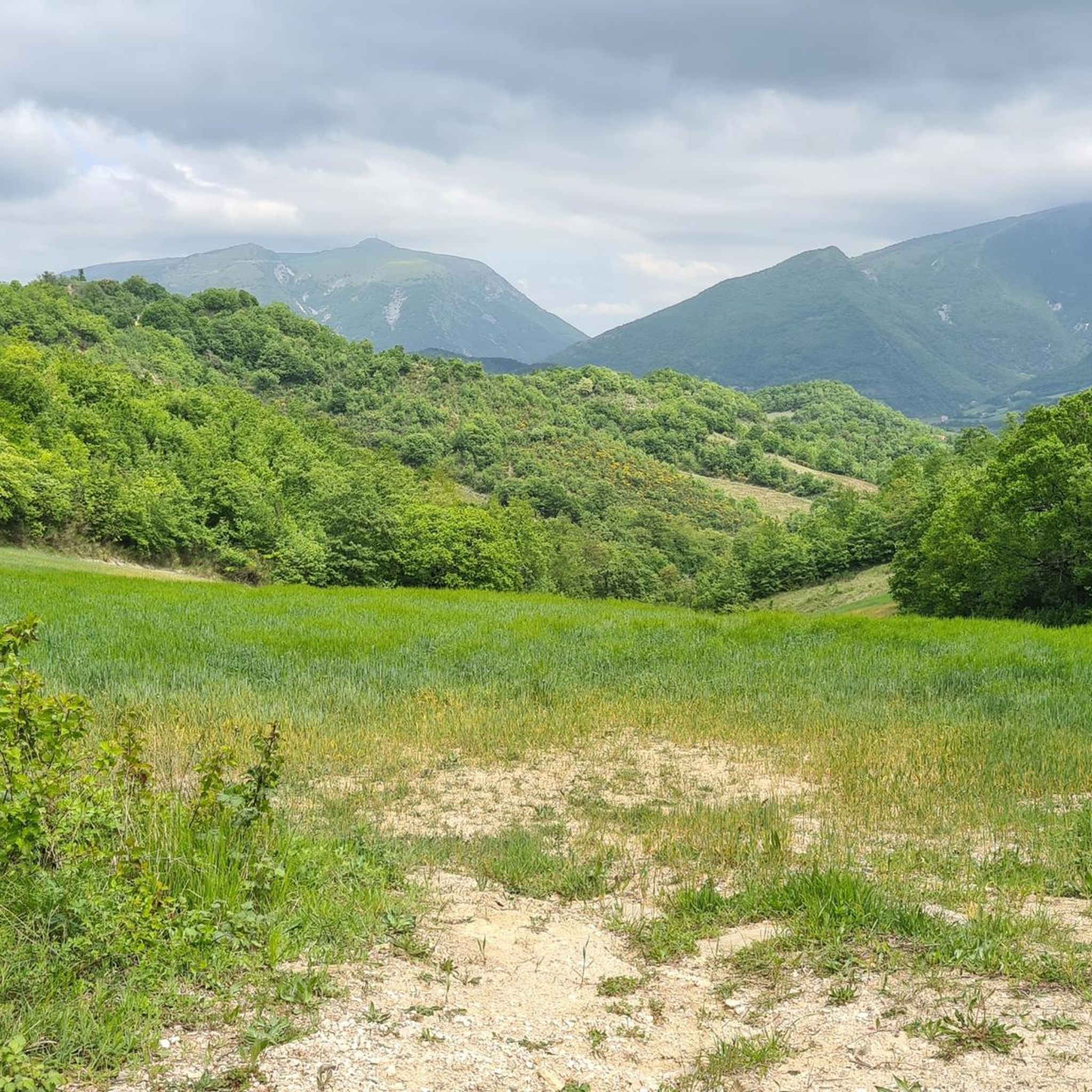
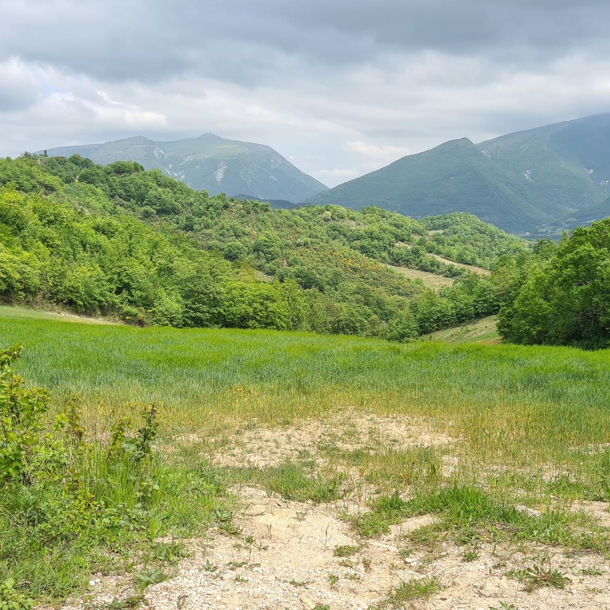
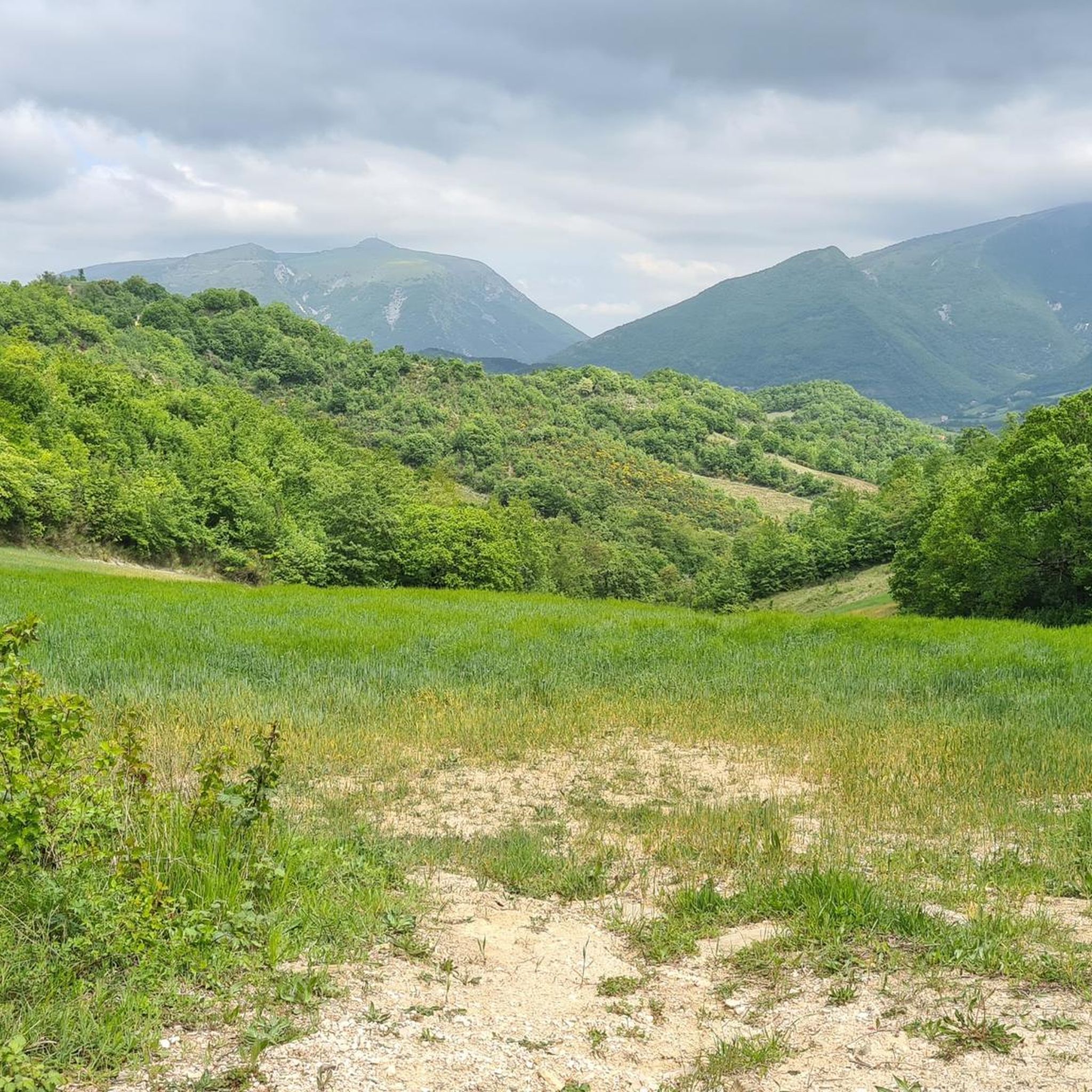
Mount Catria is a mountain in the Umbrian-Marche Apennines, 1701 m above sea level, located along the border between Umbria and Marche, within the territory of the municipalities of Cagli, Cantiano, Frontone and Serra Sant'Abbondio (province of Pesaro and Urbino).
0
0
On the road that goes from Pietralunga towards Pianello, Secchiano and Cagli, outside the town of Pianello there is this crossroads on the right which marks the beginning of the road that leads passing through Moria and then Palcano to Pontedazzo.
0
0

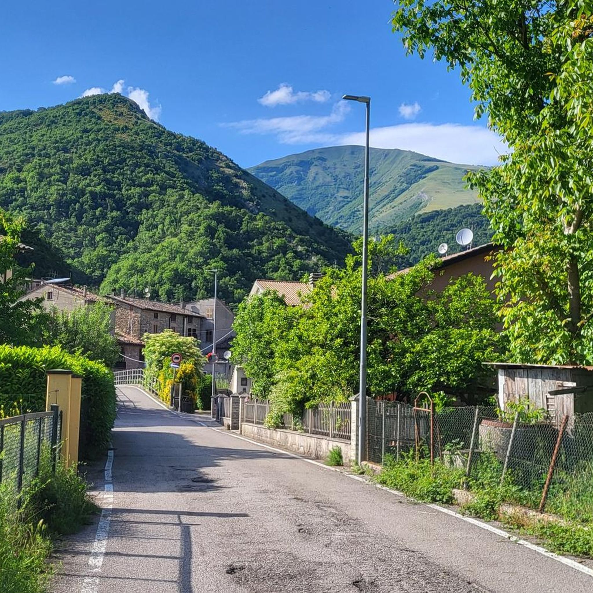
Beautiful town, worth taking a break
0
0

Deserved award after the intense climb of the Centenary of the Giro d'Italia
0
0

Monte Nerone 1400 summit of the 2009 Giro d'Italia
1
0

Excellent stopping point for lunches and snacks at the top of Monte Nerone
0
0
The structure located in a strategic position for the climb to Monte Nerone also offers a restaurant service
1
0
Frequently Asked Questions
What kind of terrain can I expect on touring cycling routes in Serre Del Burano?
The terrain in Serre Del Burano is characterized by challenging ascents and descents through long, sharp chains of clay and sandstone mountains. You'll primarily encounter forested landscapes and dense scrub, with significant elevation changes. Routes often feature both paved and unpaved sections, requiring a touring bicycle suitable for varied surfaces.
Are there any easy or moderate touring cycling routes in Serre Del Burano?
While Serre Del Burano is known for its challenging terrain, there are a few moderate touring cycling routes available. The majority of the routes, however, are classified as difficult, making the region best suited for cyclists with good fitness and experience.
What are some notable natural features or landmarks to see while cycling in Serre Del Burano?
The region's appeal lies in its natural environment. You'll encounter impressive forested mountains, including significant peaks like Monte Nerone and Monte Catria, which offer panoramic views. Rivers and streams flow through the valleys, adding to the scenic beauty. The Bosco di Tecchie Nature Park is another area of interest for its rich flora and fauna.
What do other touring cyclists say about the routes in Serre Del Burano?
The touring cycling routes in Serre Del Burano are highly rated by the komoot community, with an average score of 4.7 stars from over 90 reviews. Cyclists often praise the challenging ascents, the immersive natural environment, and the sense of accomplishment from tackling the significant elevation gains.
Are there any circular touring cycling routes in the area?
Yes, many routes in Serre Del Burano are designed as loops, allowing you to start and finish at the same point. For example, the Agriturismo Pian di Molino – Quattrocchi Farmhouse loop from Agriturismo Piandimolino is a popular circular route that covers nearly 32 km with significant elevation gain.
What is the best time of year to go touring cycling in Serre Del Burano?
The hilly forest landscape of Serre Del Burano is particularly impressive in autumn, with vibrant foliage. Spring also offers pleasant conditions before the peak summer heat. Given the challenging terrain and elevation, avoiding the hottest summer months and potentially snowy winter conditions is advisable for touring cyclists.
Can I find accommodation or places to eat near the cycling routes?
Yes, cycling routes often pass through or connect to charming small towns and historic sites. These villages, such as those near Apecchio, Cantiano, Gubbio, and Scheggia, offer opportunities for refreshments, meals, and accommodation, providing a chance to experience local culture.
Are there any specific routes that offer expansive views?
Routes that ascend to higher elevations, particularly towards Monte Nerone, are known for their expansive views. The Alte Marche Cycle Route – Monte Nerone Summit Road Sign loop from Casale Casellina is a difficult path that includes challenging ascents towards Monte Nerone, rewarding cyclists with broad vistas.
What is a good route for experiencing the forested areas of Serre Del Burano?
For a route that leads through forested areas, consider the Country house Lucaraia – Col di Fiore Farmhouse loop from Col di Fiore. This 21.1 km trail offers an immersive experience within the region's characteristic woodlands.
Is there a route that takes me close to Monte Nerone's summit?
Yes, the Monte Nerone Summit Road Sign – Rifugio La Cupa loop from Acquapartita is a challenging route that brings you close to Monte Nerone's summit, featuring over 1200 meters of elevation gain over 37 km.
Are there any routes suitable for a shorter, yet still challenging, touring cycling experience?
For a shorter but still demanding ride, the Villa Santa Maria Holiday Home – Monte Nerone Summit Road Sign loop from Ciclamino covers about 22 km with over 740 meters of elevation gain, offering a significant workout in a more condensed timeframe.
Most popular routes in Serre Del Burano

Get inspired with the komoot mobile app


Explore more
Browse the best Cycling routes in other regions.
